Mori Atlas logo
Nearby park discovery

Map protected geography around a rugged Mediterranean island

Position Zembra National Park within Tunisia's wider Mediterranean island protected network

Zembra National Park combines a limestone island and protected sea in the Gulf of Tunis, with cliffs, coves, maquis, pools, seagrass, and rocky seabed. The stored comparison reaches Boukornine National Park 62.3 km southwest and Ichkeul National Park 93.4 km west in Tunisia, then Pantelleria National Park 105.8 km east-southeast in Italy.

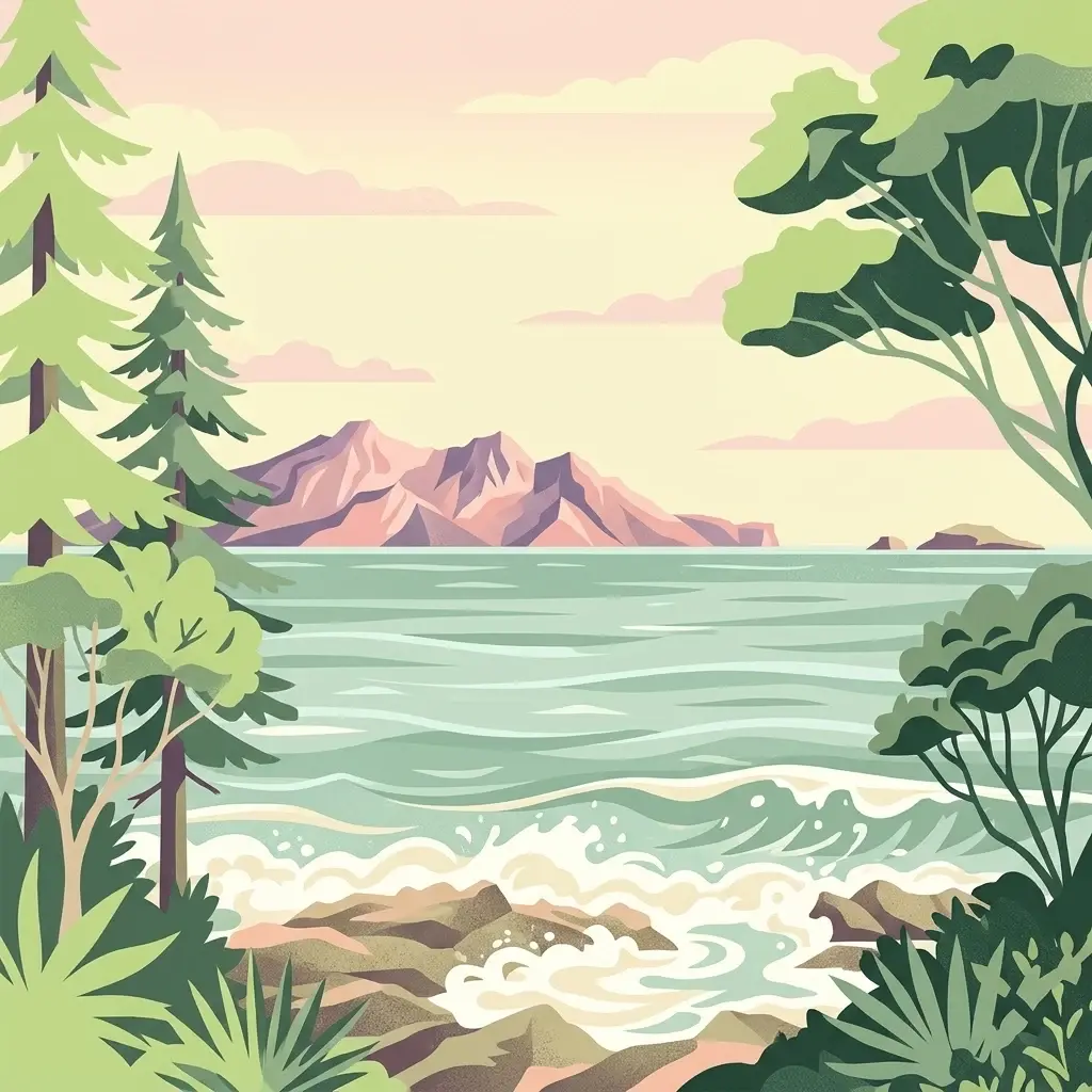
A stylized digital illustration of a rocky coastline with waves hitting the shore; pine trees frame the sides; distant purple-toned mountains rise across a calm sea under a warm-toned sky.

Mediterranean island sanctuary protecting rare ecosystems and migratory bird habitats in the Gulf of Tunis

Zembra National Park

Zembra National Park is a protected natural area located on Zembra Island, a mountainous Mediterranean island situated in the Gulf of Tunis off the coast of Tunisia. The park encompasses the entire island and its surrounding marine waters, creating a comprehensive conservation unit that protects both terrestrial and coastal ecosystems. Established to preserve one of the Mediterranean basin's most ecologically significant islands, the park serves as a critical refuge for endangered species and represents a living laboratory for the study of island biogeography and Mediterranean conservation biology.

Location
Tunisia
Park type
National park
Zembra National Park Protected Area
Regional park map

See the ranked park cluster in its geographic setting

Nearby parks around Zembra National Park

This regional map shows the same 19 nearby parks ranked below around Zembra National Park. Select a ranked marker to highlight that park’s boundary where boundary data is available.
Reference park: Zembra National ParkRanked nearby park19 nearby parks shown
19 nearby parks

Geographic proximity and regional park connections across surrounding coastal landscapes

Ranked Parks and Protected Areas Geographically Near Zembra National Park

Examine the ranked collection of nearby protected areas structured by geographic distance and direction from Zembra National Park. These comparative environmental metrics illustrate broader regional conservation patterns and surrounding landscape contexts without implying travel routes.
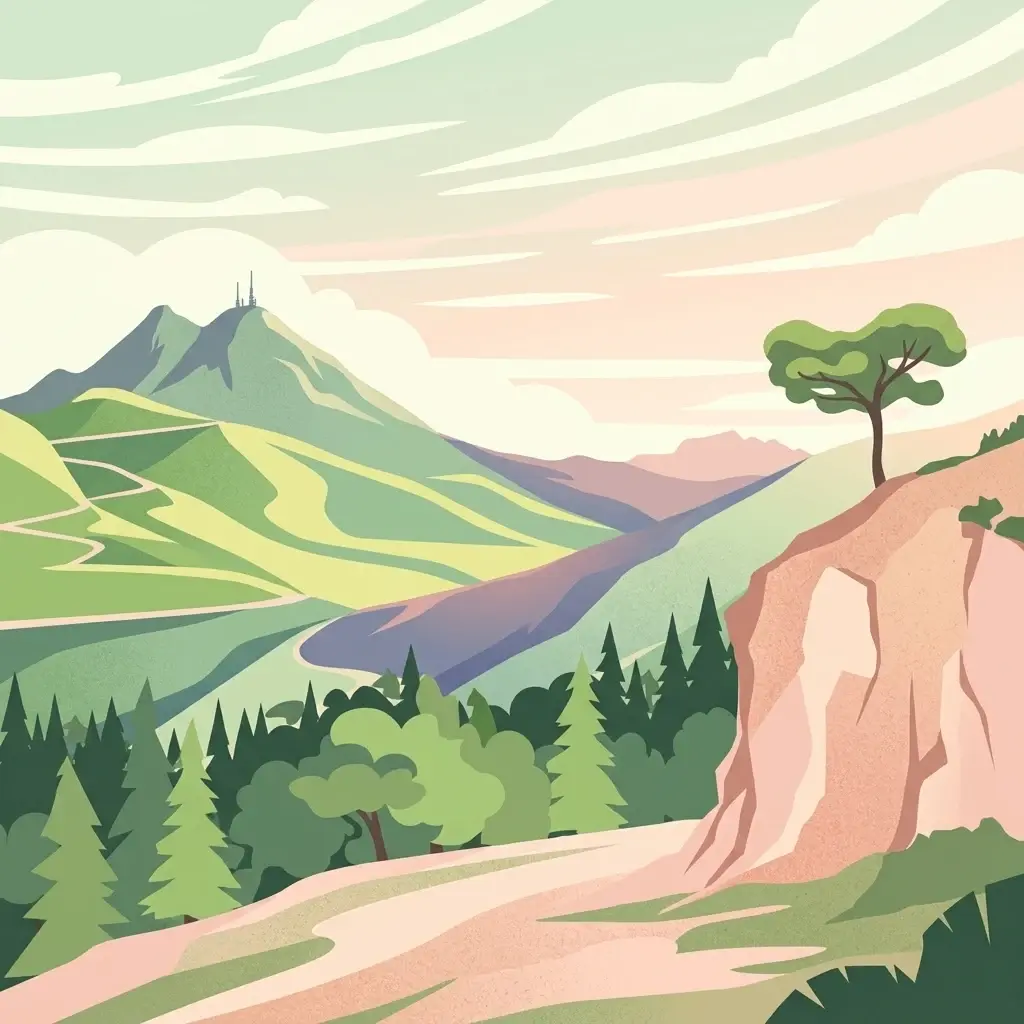
A stylized digital illustration of a mountainous landscape with a prominent peak, a lone tree on a rocky cliff, and a forested valley.
National parkTunisia
About 62 km away#1 closest

Southwest

Boukornine National Park: A Protected Mediterranean Mountain Landscape in Tunisia

Explore its mapped terrain and unique protected ecosystem.

Boukornine National Park in Tunisia represents a significant protected landscape, notable for its central granite peak, Jebel Boukornine, which rises sharply above the surrounding coastal plains. This national park, covering approximately 1,939 hectares, preserves a distinctive Mediterranean mountain ecosystem. Its rugged terrain, rocky slopes, and the presence of Aïn Zargua spring support a unique concentration of species, including notable flora and fauna. Understanding Boukornine National Park provides insight into the regional geography and the importance of conserving these mountainous protected areas within Tunisia.

Area
19.39 km²
Established
1987
IUCN
II
Relief
Mountain
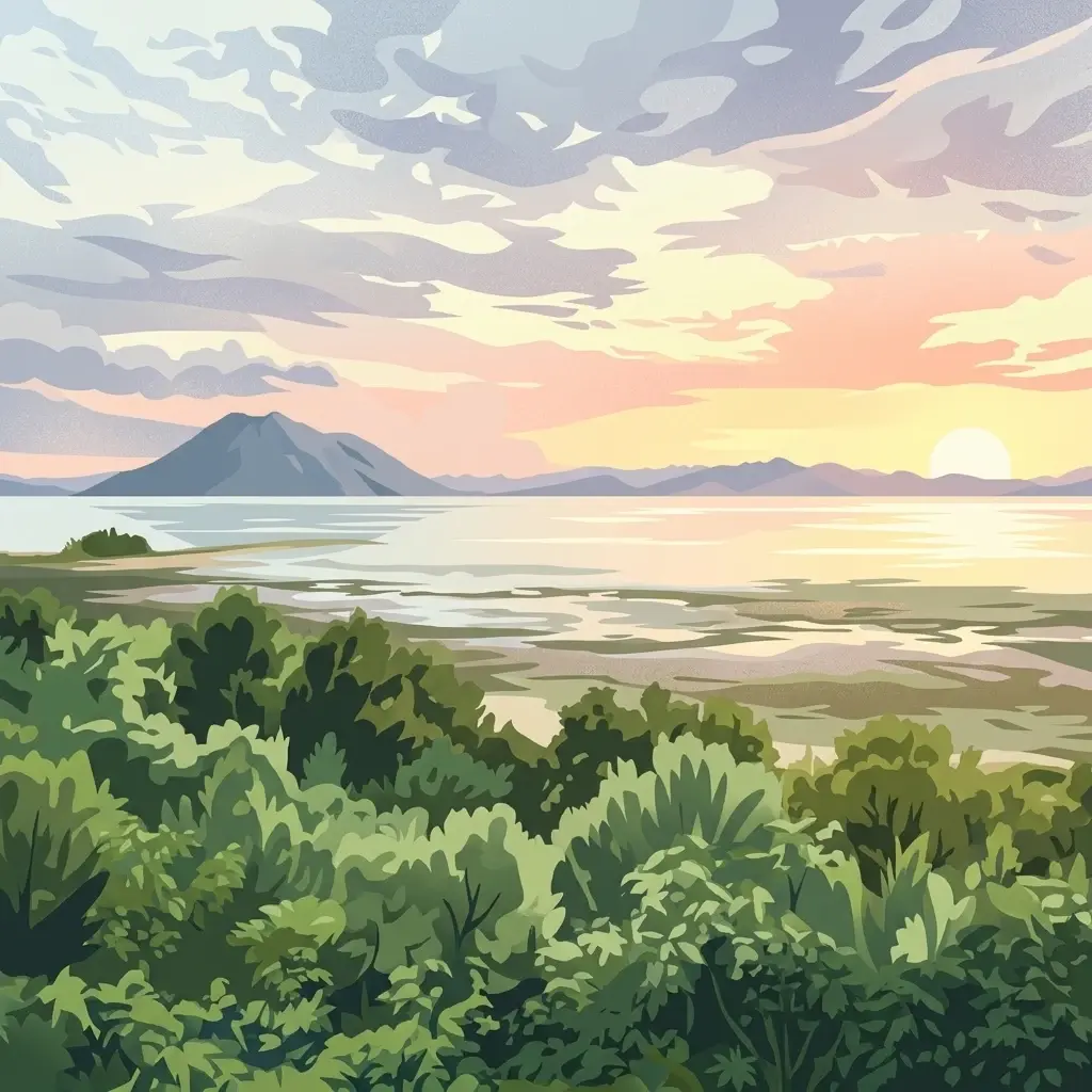
A stylized illustration showing a calm lake reflecting a sunset with a prominent mountain in the background and foreground vegetation.
National parkTunisia
About 93 km away#2 closest

West

Ichkeul National Park

Explore the mapped geography and regional context of this Tunisian national park.

Ichkeul National Park, in Tunisia.

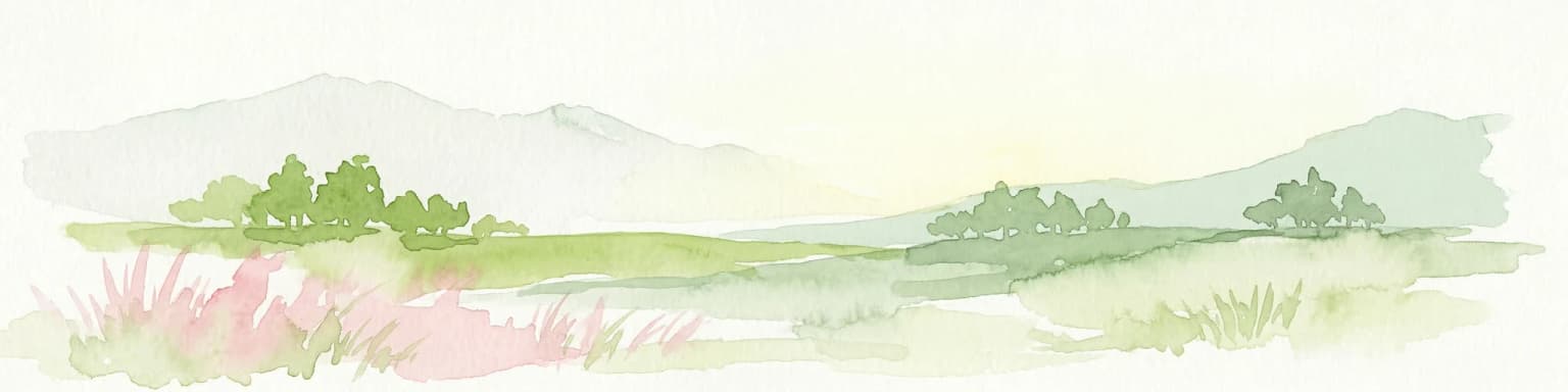
Watercolor painting of a landscape with rolling hills, pink wildflowers, and scattered trees
National parkItaly
About 106 km away#3 closest

East

Pantelleria National Park: A Protected Landscape within Italy's Atlas

Mapped boundaries and regional geographic context.

Pantelleria National Park is a designated national park in Italy offering a distinct protected landscape for exploration. This page provides essential geographic context, highlighting the park's mapped boundaries and its significance within the regional atlas. Understand the terrain and protected land features that define this important natural area.

Area
66.4 km²
Established
2016
IUCN
II
Relief
Highland
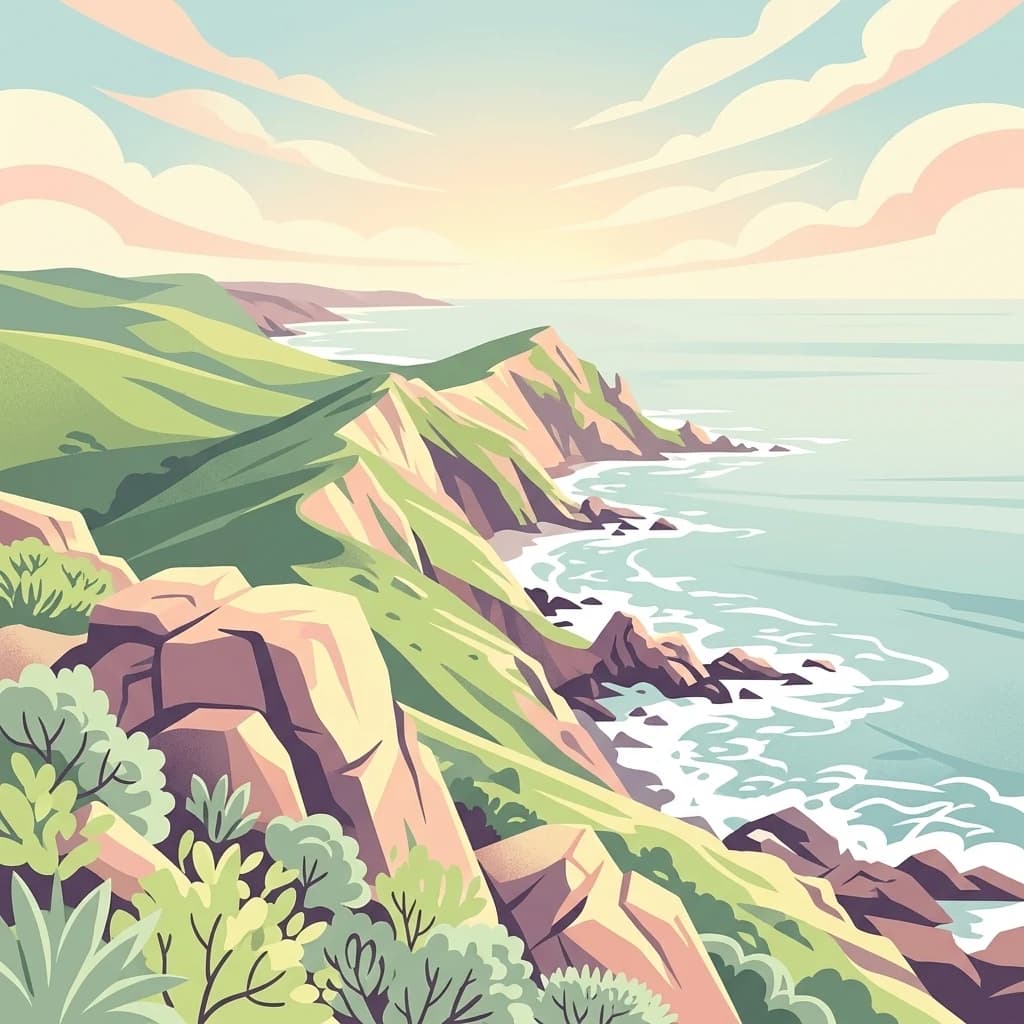
A digital illustration of a scenic coastline featuring rolling green hills, rocky cliffs, and crashing waves at sunrise.
National parkBizerte Governorate
About 163 km away#4 closest

West

Jebel Chitana-Cap Négro National Park: National Park Protected Area & Landscape Identity

Explore the mapped geography of Jebel Chitana-Cap Négro National Park.

As a designated national park, Jebel Chitana-Cap Négro National Park represents a key protected area for understanding the regional geography of Bizerte Governorate. This entry provides structured information focused on the park's geographic scope, its mapped boundaries, and its significance as a protected landscape. It is designed for users seeking detailed, atlas-style context on Jebel Chitana-Cap Négro National Park's natural setting and its place within Tunisia's protected lands network.

Area
101.2 km²
Established
2010
Relief
Mountain
Scope
Terrestrial
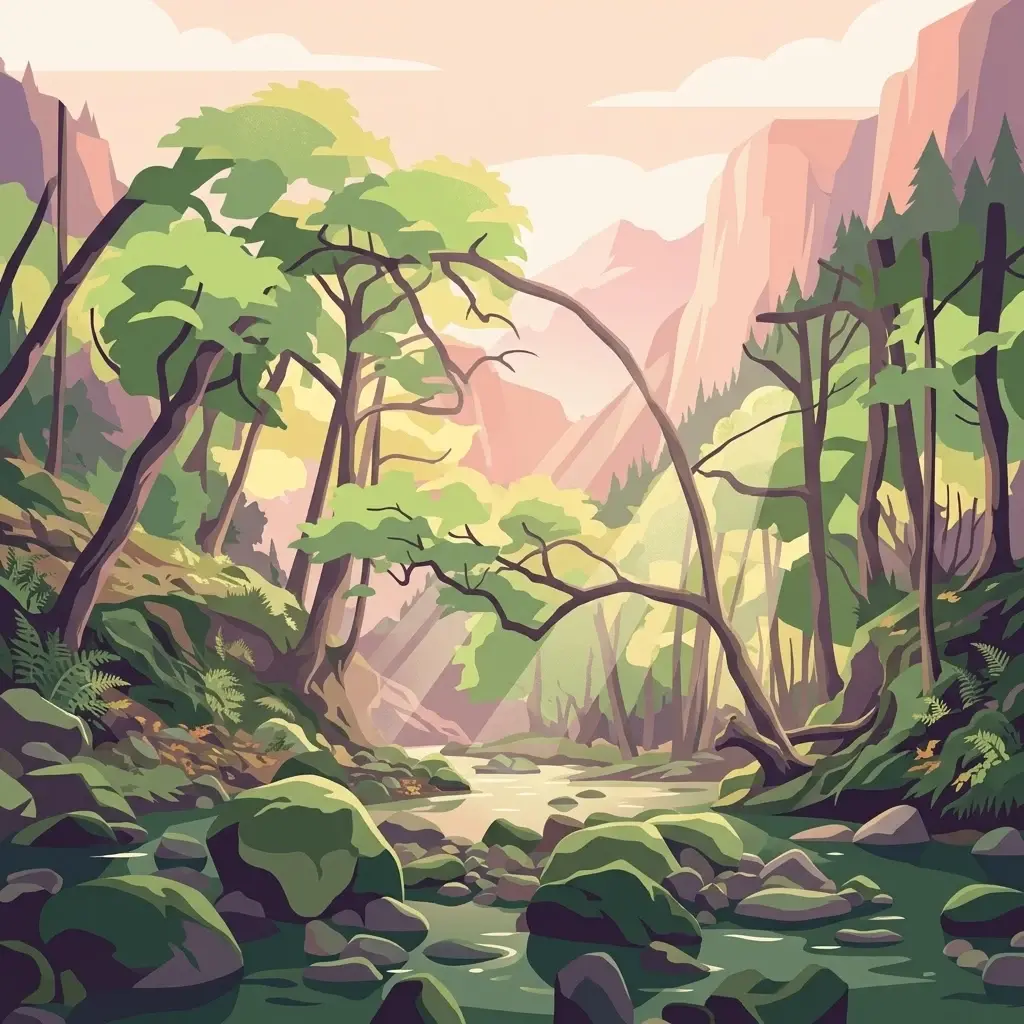
An illustration of a forest stream flowing between mossy rocks and trees, with mountains in the background at sunset.
National parkTunisia
About 172 km away#5 closest

West

Oued Zeen National Park: Tunisia's National Park Entry for Geographic and Landscape Atlas Exploration

Explore the mapped protected area and regional geography of Oued Zeen National Park.

Oued Zeen National Park is a designated national park in Tunisia, offering a crucial point for geographic exploration within the country's atlas. This page details its protected landscape identity, contributing to a structured understanding of regional natural areas and park boundaries. Users can examine its geographic setting and landscape context to deepen their appreciation of Tunisia's protected lands.

Area
67 km²
Established
2010
Scope
Terrestrial
Water
Major water bodies
A flat-style digital illustration showing a calm lake in the foreground, with a sandy beach and a small boat at the water's edge, surrounded by dense forests and rugged mountain peaks under a soft sky.
National parkTunisia
About 174 km away#6 closest

Southwest

Jebel Serj National Park: Central Tunisia's Distinctive Mountain Protected Area

Explore its terrain and protected landscape context.

Jebel Serj National Park, established in 2010, safeguards a significant mountainous territory in central Tunisia, distinguishing itself from the broader semi-arid plains. This protected landscape showcases the Djebel Serj massif, a unique topographical feature that serves as an ecological bridge between Tunisia's northern and southern regions. Users exploring this page can gain an atlas-level understanding of the park's mapped boundaries, its geological character, and its contribution to the conservation of representative natural diversity within North Africa's transitional ecosystems.

Area
17.2 km²
Established
2010
IUCN
II
Scope
Terrestrial
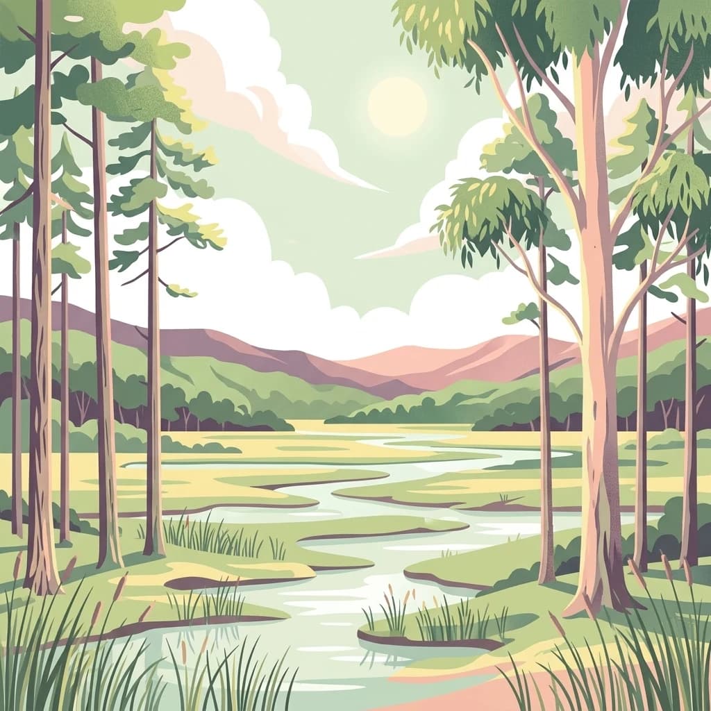
A flat-style digital illustration of a winding river flowing through a wetland area with tall trees and distant hills under a soft, sunny sky.
National parkEl Tarf Province
About 192 km away#7 closest

West

El Kala National Park

Explore its mapped geography and vital ecosystem context.

El Kala National Park, in El Taref Province, Algeria. Landscapes: hills, forests, and wetlands.

Area
764 km²
Established
1993
IUCN
II
Visitors
30K annual
A digital illustration of a forest scene with moss-covered tree trunks, rocky terrain, and soft, warm-toned foliage.
National parkJendouba Governorate
About 196 km away#8 closest

West

El Feidja National Park: National Park Mapping and Protected Landscape Discovery

Explore geographic context within Jendouba Governorate.

Gain a clear understanding of El Feidja National Park's protected status and its geographic footprint. This page offers detailed insights into the park's mapped boundaries and landscape characteristics, situated within the Jendouba Governorate. It serves as a primary resource for atlas exploration, highlighting the natural terrain and regional significance of this Tunisian national park.

Area
27.65 km²
Established
1990
IUCN
II
Relief
Mountain
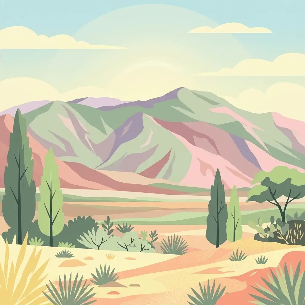
A flat-style digital illustration showing a mountain range under a pale sky, with sparse arid vegetation including cypress-like trees, shrubs, and succulents in the foreground.
National parkKasserine Governorate
About 292 km away#9 closest

Southwest

Chambi National Park: Mountain Geography and Protected Landscape Analysis

High elevation terrain in the Kasserine Governorate

Chambi National Park encompasses 67 square kilometers of rugged, high-altitude terrain in Tunisia. This resource maps the park's mountain ecosystem, from its forested valleys to its exposed rocky peaks, providing a structured overview of this significant protected landscape near the Algerian border.

Area
67.23 km²
Established
1980
IUCN
II
Relief
Mountain
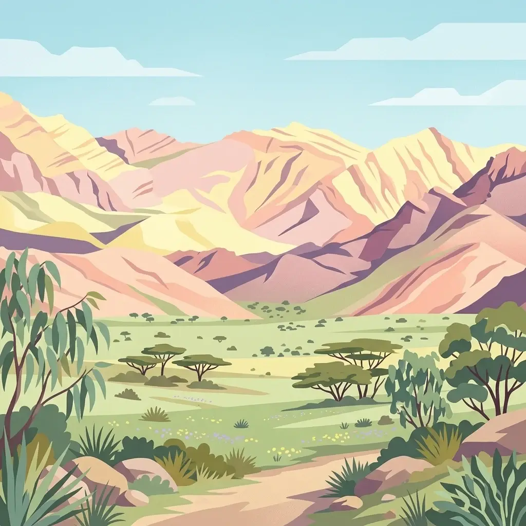
A stylized vector illustration of an arid landscape with a foreground dirt path, scattered small trees, and jagged mountains in the background under a pale sky.
National parkGafsa Governorate
About 313 km away#10 closest

South

Bou-Hedma National Park: Mapped Protected Area and Conservation Sanctuary in Gafsa Governorate

Discover Saharan wildlife, Roman ruins, and unique semi-arid landscapes.

Bou-Hedma National Park serves as a crucial conservation hub in Tunisia's Gafsa Governorate, renowned for its success in reintroducing endangered Saharan large mammals like the scimitar oryx and addax. The park's geography spans arid plains and seasonal wadis, encompassing the Ramsar-listed Sebkhet Noual wetland. Its unique landscape also preserves significant Roman-era archaeological sites, offering a rich context for exploring protected-area identity, conservation achievements, and ancient human history within a North African setting.

Established
1980
IUCN
II
Access
Access unknown
Scope
Terrestrial
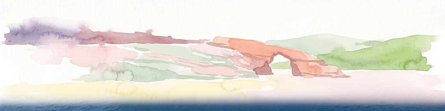
Watercolor painting of a reddish limestone sea arch or islet surrounded by water and faint coastal hills.
Nature reserveGozo
About 326 km away#11 closest

East

Fungus Rock: A Protected Limestone Nature Reserve on the Western Coast of Gozo

Geographic landmark and protected coastal terrain

Fungus Rock represents a critical protected landscape at the entrance to Dwejra bay, offering a unique look at Mediterranean limestone geology. Known for its vertical cliff faces and historical botanical significance, this nature reserve remains a defining feature of the Gozitan coastline and the surrounding marine environment.

Area
0.007 km²
Relief
Upland
Climate
Mediterranean
Access
Easy access
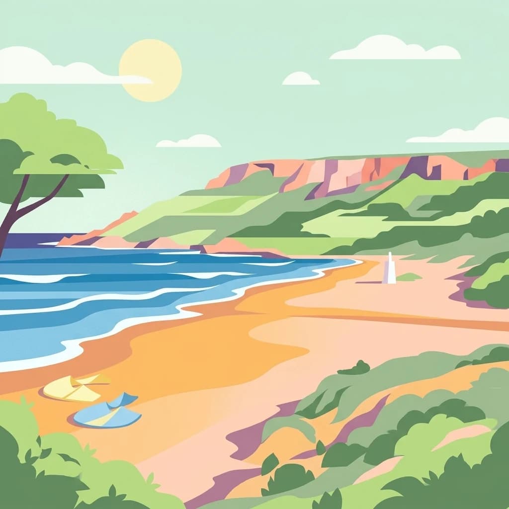
A flat-style vector illustration depicting a coastal beach scene with reddish sand, rolling green hills in the background, a blue ocean with gentle waves, and a few beach umbrellas in the foreground.
Protected areaGozo
About 333 km away#12 closest

East

Ramla Bay: Geographic Mapping and Protected Landscape Analysis of the Gozo Coast

Coastal terrain, red-sand geology, and Mediterranean rural landscapes.

Ramla Bay represents a significant protected coastal pocket on the island of Gozo. Beyond its well-known red-sand beach, the area encompasses a wider valley landscape defined by limestone headlands and agricultural plateaus. Use this mapped overview to understand the interaction between the Mediterranean coastline and the rugged rural hinterland of the Maltese islands.

Relief
Lowland
Climate
Mediterranean
Access
Easy access
Scope
Terrestrial
A horizontal watercolor painting showing soft green hills, grassy marshland, and a calm water channel under a light, hazy sky.
Nature reserveGozo
About 340 km away#13 closest

East

Comino

Island ecology and coastal landscape mapping

Comino, in Gozo, Malta. Landscapes: cliffs, coasts, and beaches.

Area
3.5 km²
Relief
Lowland
Climate
Mediterranean
Access
Moderate access
Watercolor painting of a mountainous landscape with green forests and distant hills
National parkItaly
About 342 km away#14 closest

North

National Park of the Gulf of Orosei and Gennargentu: Italy's Coastal and Mountain Protected Terrain

Mapped geography of a unique Sardinian protected landscape.

Delve into the atlas-level details of the National Park of the Gulf of Orosei and Gennargentu, a protected area in Italy renowned for its stark contrast between dramatic coastal cliffs bordering the Gulf of Orosei and the wild, mountainous interior of the Gennargentu massif. This page provides structured geographic context, mapping the park's boundaries and showcasing its distinctive karst landscape, hidden beaches, and rugged peaks for comprehensive protected-area exploration.

IUCN
II
A horizontal watercolor painting depicting a soft-toned, abstract coastal landscape with gentle green hills, grassy foreground patches, and a calm, pale pool of water against a white background.
Marine protected areaMalta
About 343 km away#15 closest

East

Ras ir-Raħeb Marine Protected Area: Geographic Profile and Mapped Coastal Landscape

Coastal cliffs and protected marine zones in north western Malta.

Ras ir-Raħeb serves as a pivotal marine protected area along the Malta coastline, where high limestone cliffs meet complex underwater habitats. This site links historical archaeological remnants with modern ecological conservation, offering a unique geographic snapshot of the Rabat plateau edge. Its mapped boundaries encompass both the terrestrial promontory and the essential seagrass meadows beneath the surface, providing a critical reference point for Mediterranean coastal geography and protected land status.

Established
2005
Relief
Upland
Climate
Mediterranean
Access
Moderate access
A soft watercolor illustration depicting a calm wetland scene with distant hills, a mirror-like water surface, and reeds in the foreground.
Protected areaSardegna
About 346 km away#16 closest

Northwest

Stagno di San Giovanni: Protected Coastal Wetland Geography and Regional Landscape Atlas

Brackish lagoon habitats in the province of Oristano, Sardegna

Explore the natural terrain of Stagno di San Giovanni, a brackish coastal lagoon in southwestern Sardegna. Defined by shallow waters and river-fed marshlands, this protected area is central to an interconnected network of Mediterranean lagoons, offering significant insight into the coastal geography and environmental history of the Oristano region.

Area
7 km²
Relief
Lowland
Scope
Terrestrial
Water
Water-dominated
A pale, minimalist watercolor painting depicting St Paul's Island in Malta, showing green rolling landforms and a hint of a structure against a light background.
Protected areaMalta
About 347 km away#17 closest

East

St Paul's Island Protected Landscape and Maltese Coastal Geography Overview

Uninhabited Mediterranean island and heritage landmark

St Paul's Island represents a unique Mediterranean limestone islet featuring maritime garigue habitat and historic ruins. Located near the Mellieħa coastline, this protected area provides a compact example of Maltese coastal geography, defined by exposed cliffs and an enduring connection to local maritime history.

Area
0.101 km²
Relief
Lowland
Scope
Mixed
Water
Water-dominated
A watercolor illustration showing a horizontal landscape with a light-colored lagoon or wetland in the foreground and soft purple mountains in the background.
Protected areaSardinia
About 349 km away#18 closest

Northwest

Laguna di Marceddì Protected Area: Sardinia Coastal Geography and Wetland Mapping

A Ramsar-listed brackish wetland on the Sardinian coast

Laguna di Marceddì serves as a critical protected area along the western Mediterranean coast of Sardinia. The landscape features a complex mosaic of tidal channels, shallow pools, and brackish basins. Fed by inland streams, this wetland supports diverse waterbird populations and long-standing professional fisheries while remaining a distinct, low-lying geographic feature within the surrounding agricultural plains of the Oristano province.

Area
9 km²
Relief
Lowland
Scope
Mixed
Water
Water-dominated
A soft, pastel-toned watercolor painting of a rolling green landscape with a small body of water in the foreground and a silhouette of a building on a hill in the distance.
Wildlife reserveMalta
About 351 km away#19 closest

Southeast

Buskett Gardens Wildlife Reserve: Geography and Protected Landscape Map of Malta

A rare sheltered woodland valley in the central Mediterranean

Buskett Gardens serves as a critical protected woodland in the heart of the Maltese islands. Nestled in the fertile Wied il-Luq valley, the site offers an unusually green, shaded environment of broadleaved trees and conifers. This reserve functions as an Important Bird Area and a historic cultural landscape, providing a lush contrast to the exposed limestone plateau of rural Malta.

Area
0.47 km²
Relief
Upland
Scope
Terrestrial
Water
Minor water
Distance methodology

Geographic measurements, not driving distances

How nearby park distances are calculated

Distances use park boundaries whenever the available geometry allows it. When one or both boundaries are missing, the mapped park locations provide a clearly labelled estimate. Every value represents straight-line geographic separation and does not use roads or routing.

Boundary distance

Calculated between the nearest points of both park boundaries.

Location-to-boundary estimate

Estimated from one mapped park location to the nearest boundary of the other park.

Mapped-location estimate

Estimated between the mapped locations of both parks.

MoriAtlas Explorer

Continue Exploring Zembra National Park's Mapped Geography and Protected Landscape

Deepen your understanding of Zembra National Park's unique island geography and protected boundaries. This national park offers critical insights into Mediterranean island ecosystems, bird conservation, and a distinct natural landscape preserved within Tunisia. Continue your atlas exploration to grasp the full geographic context and ecological significance of this valuable protected area.

Global natural geography