Mori Atlas logo
Country parks

Discover the geographic spread and mapped boundaries of protected lands across Austria.

Explore Austria National Parks: A Comprehensive Browse of Protected Areas and Landscapes

Begin your atlas exploration of Austria's protected natural areas by browsing this curated list of national parks and significant conservation landscapes. Understand the country's regional geography through its mapped park distributions, from the alpine wilderness to riverine protected zones. This resource facilitates detailed comparison and discovery of Austria's diverse natural heritage.

Explore Austria National Parks: A Comprehensive Browse of Protected Areas and Landscapes

Trace the geographic distribution of Austria's diverse protected landscapes, from Alpine peaks to vital river ecosystems.

Austria's National Parks and Protected Areas: A Complete List for Geographic Discovery

Discover a comprehensive listing of Austria's national parks, nature reserves, and various protected areas, encompassing both high Alpine regions and significant river ecosystems. This full country-wide overview provides valuable geographic context for understanding Austria's diverse conservation landscapes and their unique ecological distribution.

Showing 1 to 20 of 23 parks

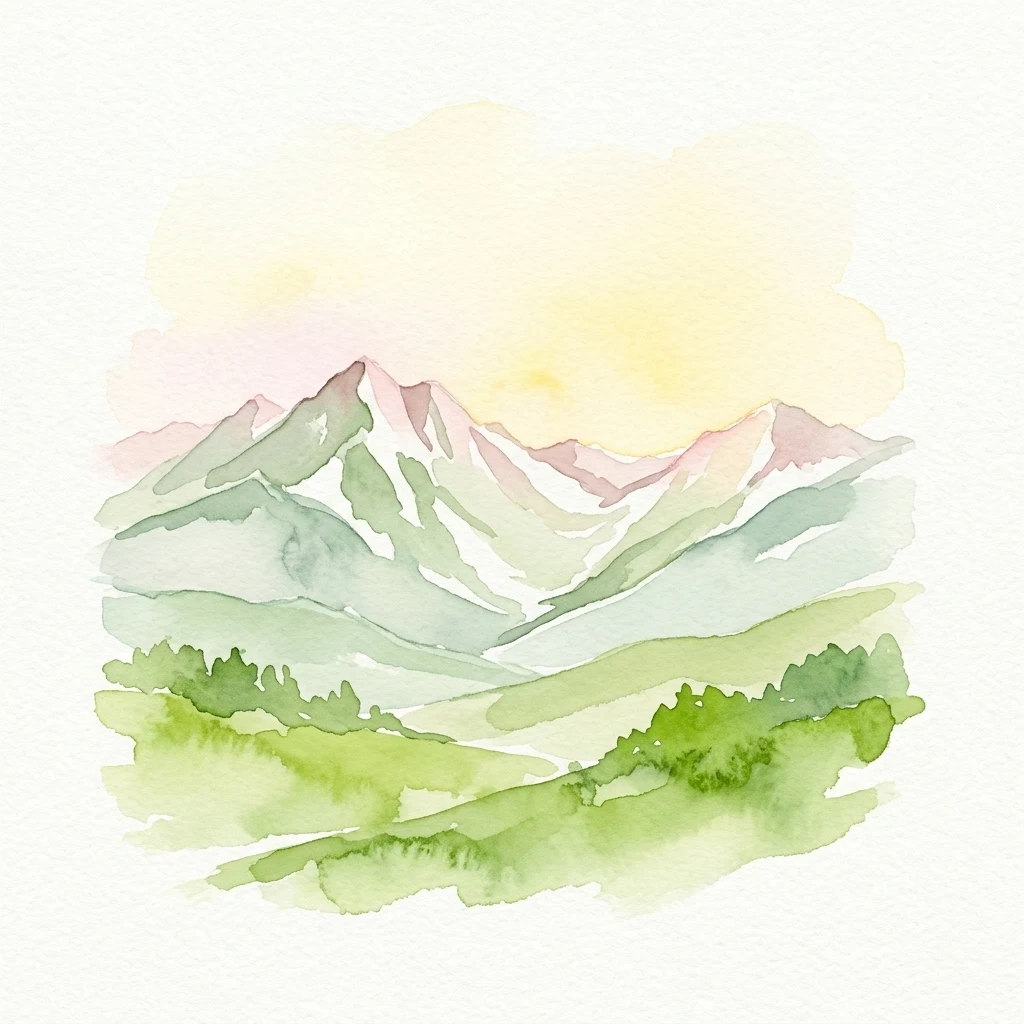
Watercolor illustration of mountain peaks with snow patches, green valleys, and a gradient sky
National parkAustriaMountain

Hohe Tauern

Discover glacial terrain and mountain park geography in the Austrian Alps.

Hohe Tauern National Park, Austria's largest protected area, offers a profound exploration of high alpine landscapes. This national park is defined by its towering peaks, expansive glacier systems, and deeply carved glacial valleys. Examining its mapped boundaries reveals the sheer scale of this protected alpine terrain, providing crucial context for understanding regional geography and the unique natural systems it preserves across the Central Eastern Alps.

1,806 km²1981AlpineII
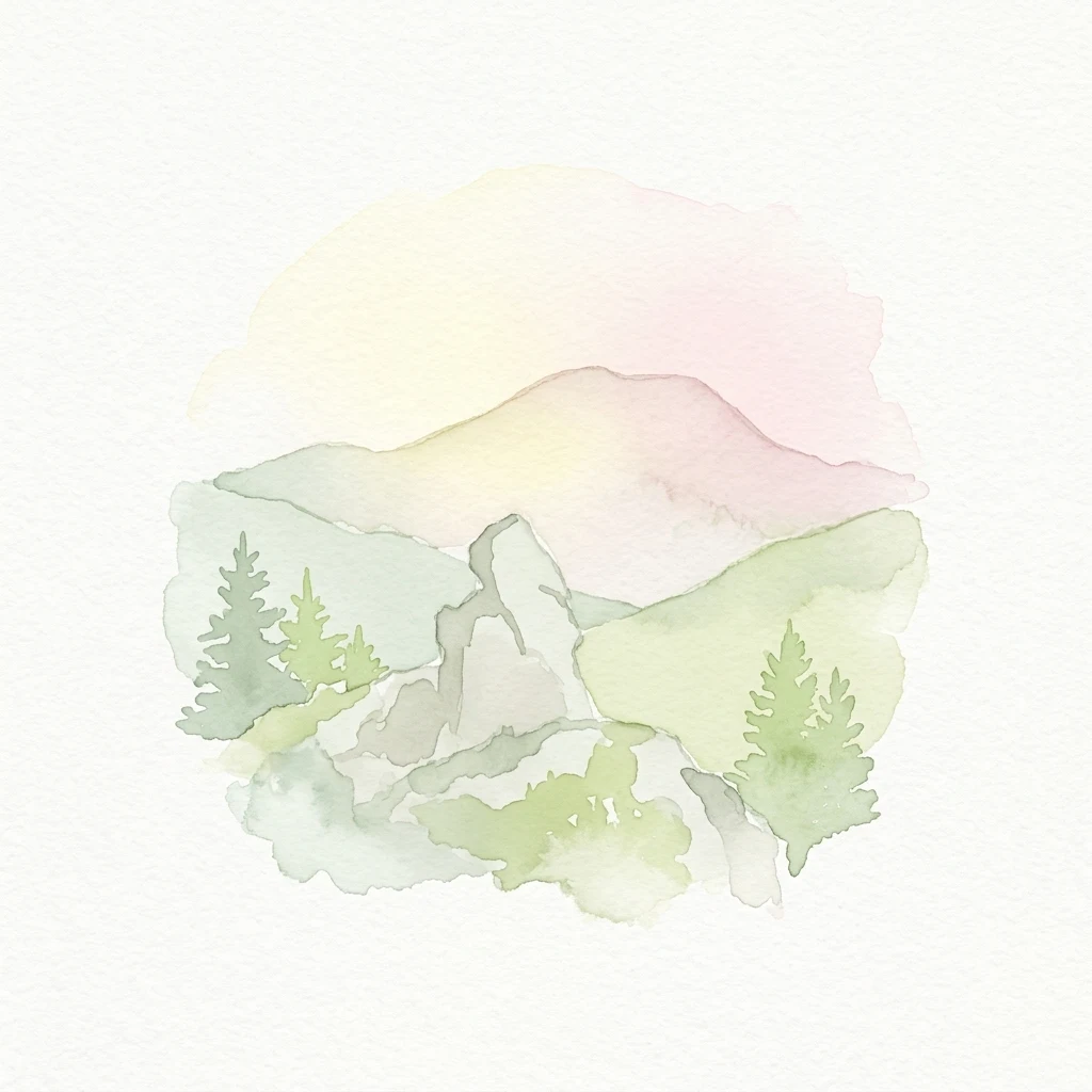
Watercolor painting showing a mountain landscape with green hills, trees, and a pale pink sky
National parkUpper AustriaMountain

Kalkalpen National Park

Explore mapped boundaries and unique alpine terrain.

Kalkalpen National Park is a premier protected area in Upper Austria, celebrated for harboring Central Europe's largest remaining ancient beech forests and an extensive karst landscape. This designation underscores its critical role in preserving old-growth forest ecosystems and unique geological formations within the Northern Limestone Alps. Discover the mapped terrain and regional geography that define this significant natural reserve, offering a profound look into the continent's ecological history and protected natural heritage.

208.25 km²1997TemperateModerate access
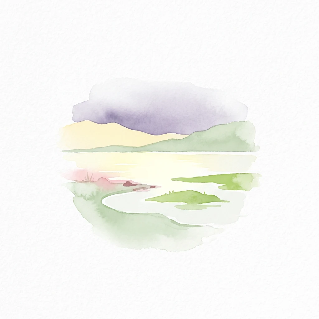
Watercolor illustration of a lake with green islands, mountains in the background, and a purple and yellow sky
National parkBurgenland

Neusiedler See-Seewinkel National Park

Explore mapped wetland geography and birdwatching significance.

Neusiedler See-Seewinkel National Park showcases a rare steppe lake environment and extensive wetland habitats at the eastern edge of Austria, within the Burgenland region. This protected area is globally recognized for its exceptional avian diversity and the unique ecological mosaic formed by reed beds, salt marshes, and seasonal pools. Explore its mapped boundaries and distinctive Pannonian geography for a deep understanding of this vital European protected landscape.

97 km²1993IIMajor water bodies
National parkLower Austria

Danube-Auen National Park

Mapped boundaries and vital riparian landscape in Lower Austria.

Delve into the unique protected landscape of Danube-Auen National Park, a cornerstone of Central European riparian conservation. This page offers detailed insights into its mapped boundaries, the dynamic interplay of river channels, lowland forests, and wetlands, and its significant role within the geographic context of Lower Austria. Understand the atlas value of this protected area, ideal for discovering rich natural terrain and ecosystem context.

93 km²1996TemperateII
National parkStyriaMountain

Gesäuse National Park

Explore Austria's dramatic river gorge and rugged peaks.

Gesäuse National Park in Styria represents a significant alpine protected area, characterized by the striking Enns river gorge cutting through the Gesäuseberge. This national park offers a unique geographic context, showcasing steep limestone peaks, dramatic rock faces, and a rich hydrological network. Discover the mapped boundaries and protected landscape of one of Austria's most visually striking natural passages, ideal for detailed atlas exploration and understanding alpine conservation.

110 km²2002TemperateII
National parkAustriaMountain

Thayatal National Park

Explore the mapped geography of a breakthrough valley and its rich biodiversity.

Thayatal National Park, Austria's smallest national park, offers a concentrated study in protected landscape discovery. Its core feature is the spectacular Thaya River breakthrough valley, a deep gorge cutting through gneiss terrain with steep, forested slopes. This page provides context for its mapped protected area, highlighting its exceptional biodiversity and its role as a transboundary conservation zone with the adjacent Czech Podyjí National Park. Understand the geographic setting and unique landscape character of this significant natural region.

13.3 km²2000TemperateModerate access
Protected areaAustriaMountain

Geopark Karawanken

1,067 km²2013AlpineEasy access
Nature reserveLower AustriaMountain

Hundsheimer Berg

1.66 km²1965TemperateIV
National parkAustriaMountain

Limestone Alps National Park

Explore protected area boundaries and regional geography.

Limestone Alps National Park represents a vital component of Austria's protected lands, contributing to the nation's atlas of natural landscapes. This page details the park's identity as a national park, focusing on its geographic scope and mapped boundaries. Users can delve into the regional context and understand the protected-area significance of Limestone Alps National Park, enriching their exploration of Austria's diverse geography.

Nature reserveSalzkammergutMountain

Loser Plateau

12 km²AlpineEasy accessMinor water
Nature reserveVorarlberg

Rhine Delta

20.65 km²1982TemperateEasy access
Nature reserveLower Austria

Spitzerberg

226 km²1981IV
Nature reserveTyrolMountain

Arnspitze Group

12.5 km²1942AlpineModerate access
Nature reserveAustria

Lake Neusiedl

315 km²1993TemperateEasy access

Nature reserveTyrolMountain

Kaiser Mountains

102 km²1963AlpineModerate access
Biosphere reserveVorarlberg

Biosphere Reserve Großes Walsertal

192.31 km²2000
Protected areaAustria

Lafnitztal

2002TemperateWater-dominated
Protected landscapeLower AustriaMountain

Vienna Woods

1,056.45 km²1987TemperateEasy access
Nature reserveVienna

Lobau

22 km²1905TemperateEasy access
Other countries

Explore Geographic Context and Protected Landscapes from the Austrian Atlas View

Discover National Parks in Countries Bordering Austria and Across Central Europe

Continue your national park discovery from Austria by exploring the mapped geography and protected areas of nearby countries and the broader Central European region. This atlas view helps you compare diverse conservation landscapes and understand regional park distribution beyond Austria's borders.

Czechia National Parks and Protected Areas: Mapped Landscapes and Geographic Context

MoriAtlas presents a structured atlas view for discovering national parks and protected areas within Czechia. Examine the geographic spread and mapped boundaries of these significant natural landscapes. This resource aids in understanding the country's protected land distribution and regional geographic context, moving beyond simple listings to a deeper, map-aware exploration of Czechia's natural heritage.

250 parks

Switzerland National Parks and Protected Areas: A Geographic Atlas Exploration

Delve into the structured geography of Switzerland's protected natural areas. This atlas-style exploration highlights the distribution of national parks and other protected lands, offering insights into their mapped boundaries and regional context within the Swiss landscape. Understand the geographic scope of conservation efforts across the country's diverse terrain.

42 parks

Croatia National Parks and Protected Areas: Geographic Atlas Explorer

MoriAtlas provides a geographic atlas for exploring Croatia's national parks and protected areas. Navigate the mapped boundaries and understand the distribution of protected lands throughout the country. This resource focuses on the structured discovery of natural landscapes and regional geography, offering a clear overview for understanding conservation areas within Croatia's diverse terrain.

16 parks

Hungary's National Parks and Protected Areas: A Mapped Geographic Overview

Navigate Hungary's protected natural areas through a structured geographic lens. MoriAtlas visualizes national parks and conservation landscapes, enabling users to understand their distribution across the Carpathian Basin. Discover key protected territories and their regional context for a comprehensive atlas-based exploration of Hungary's natural heritage.

13 parks

Slovakia National Parks and Protected Areas: Mapped Geographic Exploration

Delve into the structured atlas of Slovakia's national parks and protected areas. This page offers a geographically organized perspective, highlighting the distribution of protected lands and natural landscapes across the country. Understand the regional context and mapped boundaries of Slovakia's significant natural territories, providing a foundation for detailed geographic discovery and comparative exploration.

9 parks

Explore Slovenia's National Parks and Protected Areas: A Geographic Overview

This entry point to Slovenia's protected natural areas allows for structured geographic exploration. Understand the placement and scope of national parks and other designated lands across the country, using MoriAtlas to visualize their mapped boundaries and regional context. It serves as a comprehensive atlas for discovering Slovenia's diverse natural terrain and conservation efforts.

5 parks

Bosnia and Herzegovina: National Parks and Protected Lands Map Overview

Delve into the protected natural areas of Bosnia and Herzegovina, a key Balkan country. This resource provides a structured view of national parks and other conservation landscapes, emphasizing their geographic distribution and regional context. Understand the mapped boundaries and terrain of these important natural territories, offering a comprehensive atlas-style exploration for geographic understanding.

4 parks

Liechtenstein Protected Areas: An Atlas of National Parks and Landscapes

Delve into the structured geography of Liechtenstein's protected natural areas. This atlas entry point allows for exploration of national parks and conservation landscapes, highlighting their mapped boundaries and regional context within the country. Understand the unique geographic distribution of protected lands in this Alpine microstate through detailed, factual data.

2 parks

Protected area types

Continue Exploring Austria's Classification-Based Protected Area Geography

Delve deeper into Austria's conservation landscape by navigating its represented park designations. Understand the nuances of each classification group, from national parks to nature reserves, and their role in defining protected areas across the country. This route provides a structured pathway to investigate Austria's geographic context through its official designation frameworks.

Austria's Park Designations and Protected Areas
MoriAtlas Explorer

Continue Exploring Austria's National Parks and Protected Areas Through Detailed Search

To gain a more structured understanding of Austria's protected lands, continue refining your search for national parks and protected areas. Leverage detailed filtering options to examine specific geographic features, environmental characteristics, and regional distribution. This focused approach helps you compare and contrast Austria's natural reserves, facilitating deeper atlas-level discovery beyond simple listings.

Global natural geography