Mori Atlas logo
Nearby park discovery

Mapping regional landscapes and proximity for conservation-focused exploration

Parks near Chitwan National Park

Compare protected areas near Chitwan National Park, ordered by geographic distance. They include Parsa and Valmiki.

Digital illustration of a serene river winding through a dense forest with reflections on the water surface under a soft pastel sky.

Nepal's oldest national park protecting Terai grasslands and subtropical forests

Chitwan National Park

Chitwan National Park is the first and most significant national park in Nepal, established in 1973 in the Terai region of south-central Nepal. The park covers an area of over 950 square kilometers of alluvial floodplain, river valleys, and the lower slopes of the Sivalik Hills. It represents one of the last remaining stretches of intact Himalayan subtropical broadleaf forest and Terai-Duar savanna grassland in the region. The park was designated a UNESCO World Heritage Site in 1984, recognizing its outstanding universal value as a natural habitat for endangered species and its role in preserving a unique ecosystem. Chitwan sits at elevations ranging from approximately 100 meters in the river valleys to 815 meters in the Sivalik Hills, creating a diverse mosaic of habitats that support remarkable biodiversity. The park forms part of a larger transboundary conservation complex with Parsa National Park to the east and India's Valmiki National Park to the south, creating a coherent protected area that serves as a critical tiger conservation unit.

Location
Nepal
Park type
National park
Established
1973
Area
952.6 km²
Highest point
815 m
Chitwan National Park Protected Area
Regional park map

See the ranked park cluster in its geographic setting

Nearby parks around Chitwan National Park

This regional map shows the same 20 nearby parks ranked below around Chitwan National Park. Select a ranked marker to highlight that park’s boundary where boundary data is available.
Reference park: Chitwan National ParkRanked nearby parkSelected boundary: Chitwan National Park20 nearby parks shown
20 nearby parks

Explore surrounding regional park geography, protected landscapes, and environmental proximity context

Protected Areas and Parks Near Chitwan National Park: A Distance-Ranked Geographic Index

Examine a distance-ranked collection of nearby protected areas surrounding Chitwan National Park based on direct geographic proximity and spatial measurements. Analyze surrounding regional park geography and recorded environmental traits to understand broader conservation patterns across the landscape.
National parkNepal
About 1.2 km away#1 closest

South

Parsa National Park: Mapped Protected Landscape Within Nepal's Geography

Explore its national park status and geographic setting.

Parsa National Park represents a significant protected area within the geographic framework of Nepal. This page provides critical atlas context, detailing the park's mapped boundaries and its role as a national park. It serves as an essential resource for understanding the specific landscape features and regional geographic positioning of Parsa National Park, contributing to a structured view of protected lands across South Asia.

Area
627.39 km²
Established
2017
IUCN
II
Relief
Lowland
A flat, stylized illustration of a mountain valley scene framed by tall trees in the foreground. A waterfall cascades down a rocky cliffside into a forested valley with soft sunset lighting.
National parkWest Champaran District
About 13 km away#2 closest

Southwest

Valmiki National Park: A Vital National Park and Protected Landscape in Bihar

Explore unique Sivalik terrain and mapped protected area boundaries

Valmiki National Park, located in the West Champaran District of Bihar, is a significant protected area renowned for its unique geography. Situated at the interface of the Himalayas and the Gangetic plains, the park showcases a varied terrain including ridges, gorges, dense forests, and extensive wetlands. As Bihar's only national park and a designated tiger reserve, it offers rich insights into conservation landscapes and regional biodiversity for atlas exploration.

Area
898.45 km²
Established
1990
IUCN
II
Relief
Mixed relief
A watercolor painting depicting a river flowing through a valley with mountains in the background and green forests
National parkNepal
70 km away#3 closest

Northeast

Langtang National Park: Nepal's Pioneer Himalayan Protected Landscape and Alpine Atlas

Mapped glaciated terrain, sacred lakes, and towering peaks define this national park.

Langtang National Park, established as Nepal's first Himalayan national park, offers a unique window into high-altitude protected landscapes. Its geography is characterized by dramatic glaciated valleys, soaring mountain peaks including Langtang Lirung, and a rich diversity of alpine ecosystems. This page provides an atlas-centric view of the park's boundaries and its significance within the broader Himalayan conservation context.

Area
1,710 km²
Established
1976
IUCN
II
Relief
Mountain
A stylized illustration of a rocky river flowing through a lush green valley framed by trees, with mountains in the background under a soft sunset sky.
National parkNepal
About 71 km away#4 closest

East

Shivapuri Nagarjun National Park: National Park Mapping and Geographic Identity in Nepal

Explore protected boundaries and natural terrain.

Shivapuri Nagarjun National Park serves as a prime example of a protected natural area within Nepal, offering valuable geographic context for atlas exploration. This detail page provides insights into the park's mapped boundaries, its designation as a national park, and its place within the country's diverse natural landscapes. Understanding the terrain and regional distribution of protected areas like Shivapuri Nagarjun National Park is crucial for a comprehensive geographic perspective.

Area
159 km²
Established
2002
IUCN
II
Relief
Mountain
A flat-style digital illustration of a wide, sunlit wetland landscape with water channels, marshy green vegetation, and distant low hills under a soft pink and orange sky.
Wildlife reserveUttar Pradesh
96 km away#5 closest

Southwest

Bakhira Wildlife Sanctuary: Geographic Overview of India's Major Floodplain Wetland

Mapped wetlands and protected landscape context in Uttar Pradesh

Located in the heart of the Indo-Gangetic plain, Bakhira Wildlife Sanctuary features a complex network of seasonal water bodies and marshes. The sanctuary acts as a primary staging ground for migratory waterfowl, offering deep insights into floodplain hydrology, regional biodiversity, and the interplay between protected wilderness and active agricultural zones.

Area
29 km²
Established
1980
IUCN
IV
Relief
Lowland
Wildlife reserveUttar Pradesh
179 km away#6 closest

West

Parvati Arga Bird Sanctuary: Wetland Geography and Protected Area Atlas of Uttar Pradesh

Examining oxbow lakes and freshwater habitat boundaries

Located in northern India, Parvati Arga Bird Sanctuary encompasses a vital mosaic of freshwater oxbow lakes and surrounding deciduous woodland. The sanctuary serves as a key conservation area within Uttar Pradesh, protecting essential waterbird habitats and demonstrating the complex hydro-geography of the Gangetic plain through its crescent-shaped lakes and marshy margins.

Area
10.84 km²
Established
1990
IUCN
IV
Relief
Lowland
A stylized digital illustration of a mountain valley in the Himalayas featuring snow-capped peaks in the background, a pine forest in the foreground, and rocky slopes.
National parkKoshi Province
181 km away#7 closest

East

Sagarmatha National Park: Mapped Protected Landscape and Geographic Identity in Koshi Province

Explore the protected area's regional geographic context.

Sagarmatha National Park serves as a distinct protected national park entity. This page facilitates an in-depth understanding of its mapped boundaries and its location within Koshi Province. Users can explore the park's specific landscape characteristics and its position within the broader regional geography, providing a foundation for atlas and map-driven discovery.

Area
1,148 km²
Established
1976
IUCN
II
Visitors
19K annual
A stylized illustration of a mountain landscape featuring a tall waterfall flowing down rugged cliffs into a dense pine forest valley under a soft, cloudy sky.
National parkNepal
188 km away#8 closest

Northwest

Shey Phoksundo National Park: Nepal's Largest Trans-Himalayan Protected Landscape with Phoksundo Lake

Explore alpine terrain and unique protected ecosystems.

Delve into the geographical distinctiveness of Shey Phoksundo National Park, Nepal's expansive protected area. This park is defined by its dramatic elevation changes and the striking Phoksundo Lake, a vivid turquoise alpine reservoir set against barren, mountainous terrain. Understanding its trans-Himalayan setting and protected landscape context reveals its importance within the broader atlas of global natural areas.

Area
3,555 km²
Established
1984
IUCN
II
Relief
Mountain
National parkNepal
About 207 km away#9 closest

West

Banke National Park: Nepal National Park with Distinct Protected Landscape Geography

Explore the mapped terrain and regional atlas context of Banke National Park.

Banke National Park represents a vital protected area within Nepal's diverse geography, offering a focused point for atlas and map-based discovery. As a national park, its designated status highlights its importance in conserving natural landscapes and understanding regional protected-area distribution across South Asia. This entry provides detailed geographic context, enabling users to explore the park's mapped boundaries and appreciate its role within Nepal's broader natural territory.

Area
550 km²
Established
2010
IUCN
II
Relief
Upland
Watercolor illustration of mountain landscape with green slopes and blue peaks, showing a valley with yellow flowers in the foreground
National parkKoshi Province
About 236 km away#10 closest

East

Makalu Barun National Park: Protected Landscape and Regional Geography in Koshi Province

Explore the mapped boundaries of this national park.

Makalu Barun National Park is a designated national park providing critical protected landscape data for geographic discovery. Understand its position within Koshi Province and its specific mapped boundaries, offering insights into Nepal's protected areas. This entry is designed for users seeking detailed atlas information on the park's terrain and its role in regional conservation contexts.

Area
1,500 km²
Established
1992
IUCN
II
Relief
Mountain
A flat-style digital illustration depicting a quiet river flowing through a lush, green forest with overhanging branches and a sandy bank.
National parkBardiya District
About 253 km away#11 closest

West

Bardiya National Park: Nepal's Expansive Terai Protected Landscape and Atlas

Mapped geography, tiger habitat, and rhino conservation in Bardiya District.

Bardiya National Park represents a significant protected area within Nepal's Terai lowlands, providing an exceptional resource for geographic discovery. Its diverse terrain, including vast grasslands and dense forests bisected by major river systems like the Karnali and Babai, creates unique ecosystems. As the largest national park in Nepal, it is instrumental in mapping wildlife corridors and understanding regional landscape dynamics, particularly for endangered species such as Bengal tigers and Indian rhinoceroses. This park offers a profound glimpse into the mapped natural heritage of the Bardiya District.

Area
968 km²
Established
1988
IUCN
II
Relief
Mixed relief
A stylized digital illustration of a mountainous landscape with a forest in the foreground and snowy peaks in the distance.
National parkNepal
274 km away#12 closest

Northwest

Rara National Park: Nepal's National Park with Mapped Protected Landscape Context

Discover its geographic setting and park boundaries

Rara National Park is a key protected area within Nepal, offering a distinct focus for geographic exploration. This page details its identity as a national park, highlighting its mapped boundaries and its contribution to the country's atlas of natural landscapes. Understand the park's specific role and regional geographic context, providing a solid foundation for atlas-driven discovery of Nepal's protected areas.

Area
106 km²
Established
1976
IUCN
II
Relief
Mountain
Wildlife reserveUttar Pradesh
297 km away#13 closest

Southwest

Samaspur Bird Sanctuary: Geographic Overview of Uttar Pradesh Wetland Reserves

Freshwater marshland and migratory bird habitat in North India

Samaspur Bird Sanctuary preserves a series of freshwater jheels and marshes in the central Gangetic plain. This protected area supports an expansive ecosystem of migratory waterfowl and resident species, defining a distinct natural enclave within the agricultural landscape of Raebareli district.

Area
7.994 km²
Established
1987
IUCN
IV
Water
Water-dominated
A flat-style digital illustration of a marshland landscape with soft green, yellow, and peach tones, featuring pools of water, patches of grass, and distant tree lines under a light sky.
National parkLakhimpur Kheri district
308 km away#14 closest

West

Dudhwa National Park

Discover the mapped protected landscape of this vital Indian national park.

Dudhwa National Park, in Lakhimpur Kheri district, India. Landscapes: grasslands, rivers, and wetlands.

Area
614 km²
Established
1977
IUCN
II
Visitors
26K annual
A digital illustration depicting a snow-capped mountain range rising above a lush, green valley with a winding stream and pine trees in the foreground.
National parkSikkim
326 km away#15 closest

East

Khangchendzonga National Park

Explore protected landscapes and regional geography.

Khangchendzonga National Park, in Sikkim, India. Landscapes: mountains, forests, and glaciers.

Area
1,784 km²
Established
1977
IUCN
II
Relief
Mountain
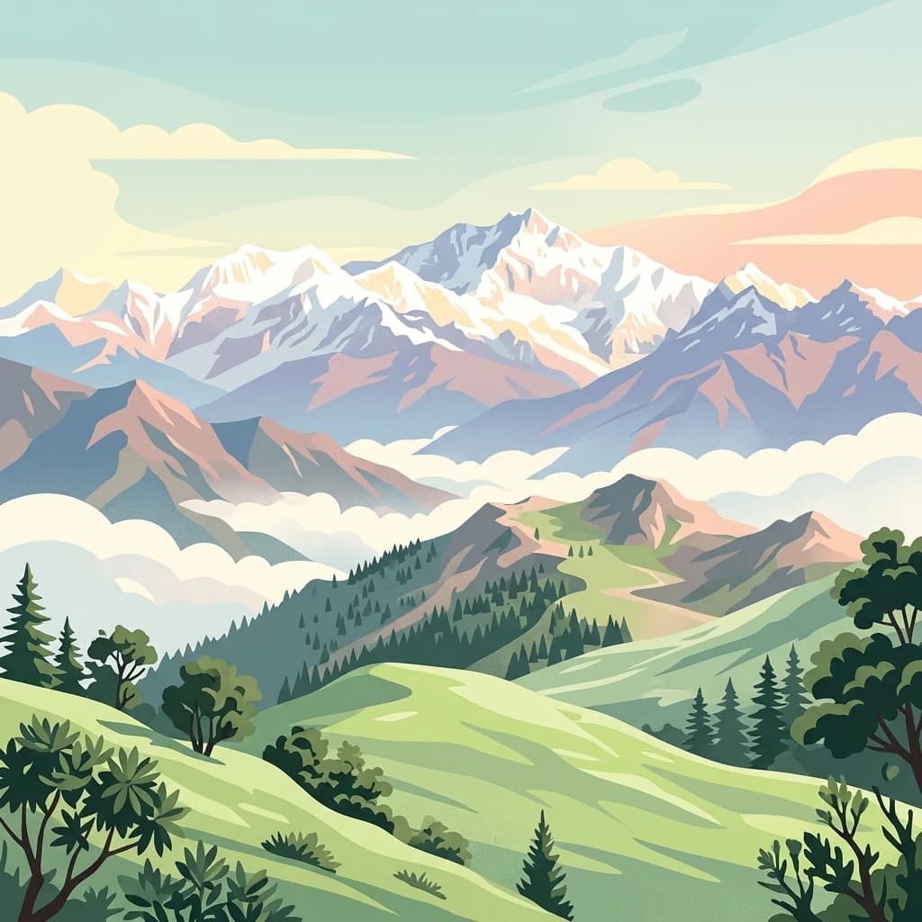
A stylized digital illustration of a mountainous landscape with snow capped peaks, rolling green hills, pine forests, and a sea of clouds at sunrise.
National parkDarjeeling District
About 332 km away#16 closest

East

Singalila National Park: A High-Altitude Protected Landscape on the Eastern Himalayan Ridge

Explore mapped terrain and alpine park geography in Darjeeling District.

Singalila National Park represents a crucial protected natural landscape within the Eastern Himalayas, located in India's Darjeeling District. Defined by its dramatic ridgeline that ascends to over 4,000 meters, the park offers a unique alpine environment with stunning panoramic views. Its designation as a national park highlights its importance for conservation and its role in the regional geographic atlas. Discover the mapped boundaries and ecological context of this remarkable mountain wilderness, from its dense forests to its open alpine meadows.

Area
78.6 km²
Established
1986
IUCN
II
Relief
Mountain
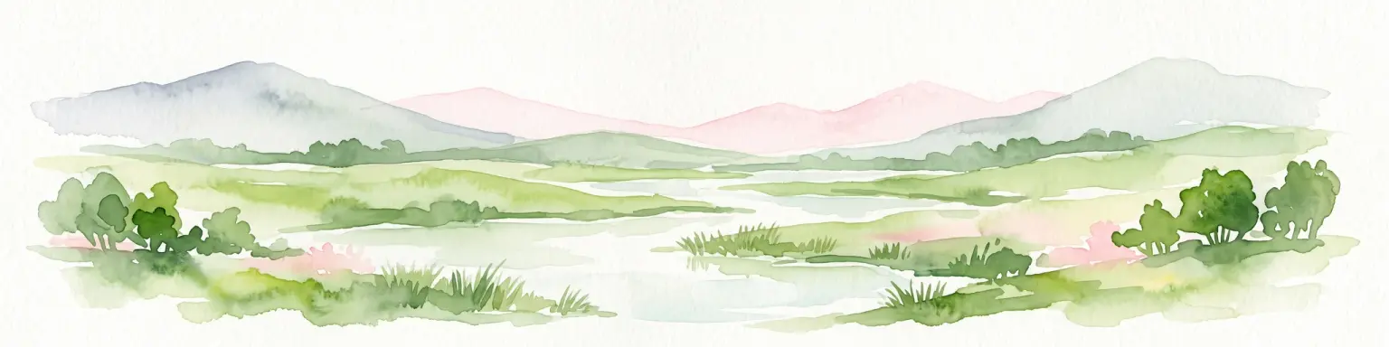
Watercolor illustration of a lush wetland scene with low hills in the background and a winding stream through green fields.
Wildlife reserveUttar Pradesh
333 km away#17 closest

West

Nawabganj Bird Sanctuary: Geographic Overview and Protected Wetland Landscape in Uttar Pradesh

A Ramsar-recognized lake ecosystem and wildlife reserve.

Located in the Unnao district, Nawabganj Bird Sanctuary features a significant freshwater lake that serves as a vital hydrological heart for the region. The sanctuary creates an essential ecological mosaic of reed-fringed water, dry land patches, and woodland edges. This protected landscape plays a foundational role in conservation efforts for migratory waterfowl and resident species on the Indo-Gangetic plain, offering unique insights into wetland terrain mapping.

IUCN
IV
Relief
Lowland
Access
Easy access
Scope
Terrestrial
National parkNepal
About 343 km away#18 closest

Northwest

Khaptad National Park: Nepal's National Park Landscape and Protected Area Geography

Explore the mapped terrain and regional context of this protected landscape.

Khaptad National Park is a designated national park in Nepal, offering a unique entry point for exploring protected landscapes and regional geography. This entry details the park's mapped boundaries and its significance within the broader atlas of natural terrain. Users can delve into the specific geographic context of this protected area, understanding its role within Nepal and the wider South Asian context for structured landscape discovery.

Area
225 km²
Established
1984
IUCN
II
Relief
Mountain
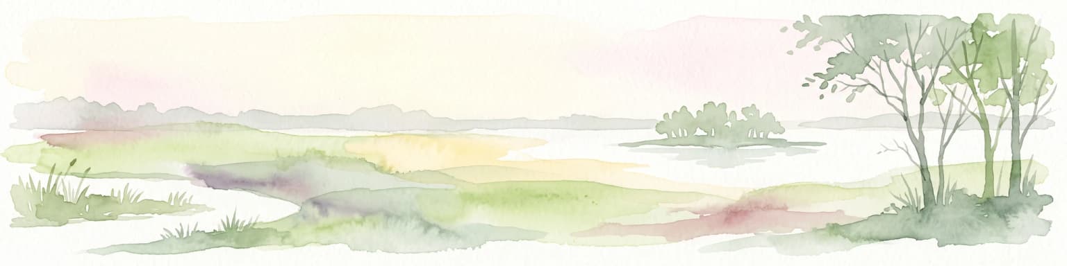
A watercolor illustration of a calm, marshy wetland landscape with soft green and earthy tones, featuring distant vegetation, a small island, and foreground trees.
Wildlife reserveUttar Pradesh
385 km away#19 closest

West

Sandi Bird Sanctuary: Wetland Reserve and Geographic Landscape in Uttar Pradesh, India

A Ramsar-designated protected area in the Indo-Gangetic plains

Sandi Bird Sanctuary represents a critical protected wetland ecosystem in Uttar Pradesh, featuring the 309-hectare Dahar Jheel. This reserve acts as a focal point for birdlife in northern India, providing essential marshland habitat alongside the River Garra. The geography reflects the flat, alluvial nature of the Gangetic plain, offering deep insights into regional wetland conservation and migratory ecology.

Area
3.09 km²
Established
1990
IUCN
IV
Relief
Lowland
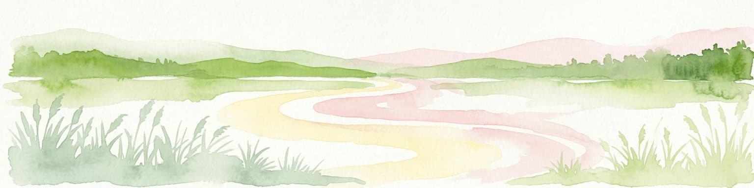
Watercolor scene of grassy fields and a winding river with distant hills and trees
National parkSudurpashchim Province
About 387 km away#20 closest

West

Shuklaphanta National Park: A National Park in Nepal's Sudurpashchim Province

Explore mapped protected areas and regional landscape context.

Shuklaphanta National Park is a key protected landscape within Sudurpashchim Province, Nepal. As a designated national park, its geographic identity is significant for understanding regional conservation and natural terrain. This entry focuses on its mapped boundaries and role as a protected area, providing foundational geographic context for atlas exploration and discovery of Nepal's natural landscapes.

Area
305 km²
Established
2017
IUCN
II
Relief
Lowland
Distance methodology

Geographic measurements, not driving distances

How nearby park distances are calculated

Distances use park boundaries whenever the available geometry allows it. When one or both boundaries are missing, the mapped park locations provide a clearly labelled estimate. Every value represents straight-line geographic separation and does not use roads or routing.

Boundary distance

Calculated between the nearest points of both park boundaries.

Location-to-boundary estimate

Estimated from one mapped park location to the nearest boundary of the other park.

Mapped-location estimate

Estimated between the mapped locations of both parks.

MoriAtlas Explorer

Chitwan National Park

Explore the map, landscapes, and protection details for Chitwan National Park.

Global natural geography