Europe's second-largest and best-preserved river delta, a UNESCO World Heritage Site of wetlands, bird colonies, and intricate waterways where the Danube meets the Black Sea
Danube Delta
The Danube Delta is the second largest river delta in Europe, after the Volga Delta, and the best preserved on the continent. Located where the Danube River empties into the Black Sea, most of the delta lies in Romania's Tulcea County, with a smaller portion extending into Ukraine's Odesa Oblast. This vast wetland landscape spans approximately 4,152 square kilometers of marshes, channels, lakes, and floating reed islands, making it one of Europe's most important ecological treasures and a recognized UNESCO World Heritage Site since 1991. The delta continues to evolve and expand today, with new land forming at the distributary mouths through ongoing sediment deposition.
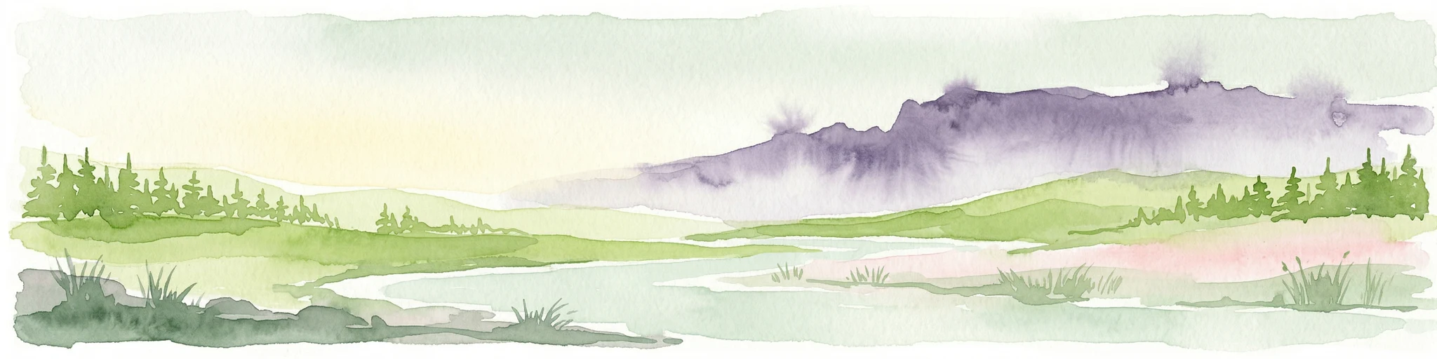
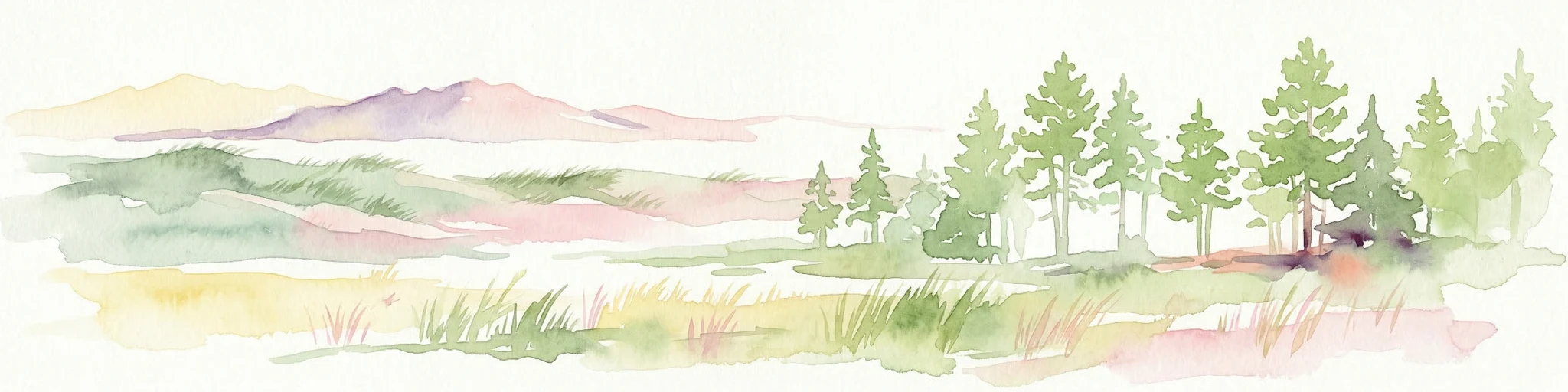
The delta's geography is defined by three main distributary channels—the Chilia, Sulina, and Sfântu Gheorghe branches—which fan out across the low-lying terrain. The landscape is remarkably flat, with an average altitude of just 0.52 meters and roughly 20% of the territory lying below sea level. Sand dunes on the Letea and Caraorman strand plains stand as the delta's highest points, reaching up to 12 meters. The complex network of waterways, lakes, and wetlands creates a dynamic environment where freshwater meets the saline waters of the Black Sea, producing unique ecological conditions found nowhere else in Europe.
What makes the Danube Delta particularly significant is its exceptional biodiversity and its role as a critical staging ground for migratory birds crossing between continents. The delta hosts over 320 bird species during the summer months, with more than one million individual birds—including swans, ducks, and coots—wintering in its sheltered waters. The region's ecological importance is further recognized through its designation as a Ramsar Wetland of International Importance and a UNESCO Biosphere Reserve shared by Romania and Ukraine.