Mori Atlas logo
Nearby park discovery

Regional mapping of natural sites surrounding this Dutch river-landscape reserve

Protected Areas and Natural Landscapes Geographically Near Lingegebied & Diefdijk-Zuid

Identify the distribution of protected lands and nature reserves in the immediate geography surrounding Lingegebied & Diefdijk-Zuid. The mapped regional context illustrates how this Natura 2000 area connects to the broader network of habitats spanning the river landscape of the central Netherlands.

Related tags

Natura 2000river landscaperiver LingeDiefdijkpolders

A fragmented Dutch Natura 2000 site along the river Linge, protecting small habitat islands in the central river area.

Lingegebied & Diefdijk-Zuid

Lingegebied & Diefdijk-Zuid is a designated Natura 2000 area in the central Netherlands, formally designated on 4 June 2013 and identified as site number 70. The site is not a single contiguous block of nature but rather a collection of separate parcels linked by their position within the catchment and surroundings of the river Linge, with components separated by that river or by roads and settlements. The area sits across three Dutch provinces: Gelderland, Utrecht, and Zuid-Holland, and touches the municipalities of Gorinchem, Molenlanden, Vijfheerenlanden, and West Betuwe. It forms part of the broader network of Dutch Natura 2000 sites that protect habitat types and species under the European Habitats Directive, and it covers roughly 7.50 square kilometers of protected land in a region shaped by river dynamics, small-scale agriculture, and historic water management. Although modest in size and somewhat scattered geographically, the site plays a recognized role in the national network of protected areas, contributing to the ecological coherence of the river landscape between the Waal and the Lek.

Location
Netherlands
Park type
Nature reserve
Established
2013
Area
7.5 km²
Lingegebied & Diefdijk-Zuid Nature Reserve
Regional park map

See the ranked park cluster in its geographic setting

Nearby parks around Lingegebied & Diefdijk-Zuid

This regional map shows the same 20 nearby parks ranked below around Lingegebied & Diefdijk-Zuid. Select a ranked marker to highlight that park’s boundary where boundary data is available.
Reference park: Lingegebied & Diefdijk-ZuidRanked nearby park20 nearby parks shown
20 nearby parks

Ranked distance and environmental comparison across surrounding regional park geography

Parks and Protected Areas Geographically Near Lingegebied and Diefdijk Zuid

Geographic proximity measurements establish a ranked sequence of nearby protected areas surrounding Lingegebied and Diefdijk Zuid based on direct boundary spacing. Structured comparison signals reveal broader regional landscape patterns without assuming shared habitat characteristics across the surrounding protected network.
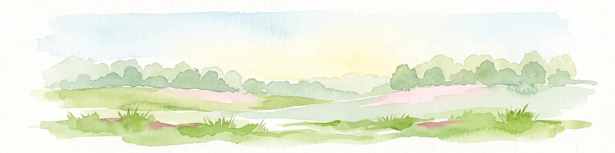
A horizontal watercolor painting of a winding river flowing through a lush, green countryside with soft trees and a pale, pastel-colored sky.
Nature reserveGelderland
About 5.2 km away#1 closest

South

Loevestein, Pompveld & Kornsche Boezem: Regional Geography and Protected Area Mapping

A composite Natura 2000 network in the central Dutch river delta.

Spanning the Bommelerwaard and Land van Heusden en Altena, Loevestein, Pompveld & Kornsche Boezem represents a vital approach to protecting fragmented lowland habitats. This record provides geographic insight into the diverse riverine mosaic of floodplains, wet grasslands, and historical stream channels that define this protected landscape in the heart of the Netherlands.

Area
7.5 km²
Established
2013
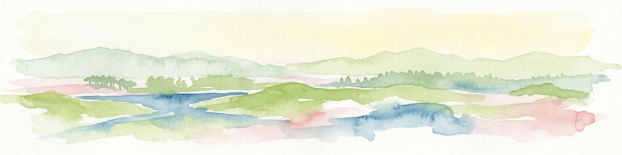
Watercolor illustration showing a network of rivers, trees, and hills in a wetland landscape
National parkNetherlands
About 15 km away#2 closest

Southwest

De Biesbosch National Park: A Dutch National Park Mapping Tidal Wetlands and Flood Forests

Explore mapped waterways and diverse protected landscapes.

Delve into the geography of De Biesbosch National Park, a remarkable protected area in the Netherlands renowned for its extensive freshwater tidal wetlands. This national park showcases a unique landscape defined by intricate river systems, dominant willow flood forests, and vital reed beds, serving as a critical habitat for migratory birds and a prime example of wetland restoration. Understand its place within the regional geography through our atlas-driven approach to protected land discovery.

Area
90 km²
Established
1994
IUCN
II
Relief
Lowland
Watercolor illustration of rolling hills, a winding river, and fields with distant mountains
National parkNorth Brabant
About 21 km away#3 closest

South

Van Gogh National Park: National Park in North Brabant with Dune Landscapes

Explore mapped protected areas and regional geography.

Van Gogh National Park is a significant protected landscape in North Brabant, Netherlands, covering approximately 1,200 square kilometers. This national park is distinguished by its extensive drift sand dune systems, notable heathlands, and wooded valleys, offering a diverse terrain within the Dutch context. Named in tribute to Vincent van Gogh, it merges rich natural landscapes with cultural heritage, serving as a model for collaborative conservation and regional development, all mapped for detailed atlas exploration.

Area
1,200 km²
Established
2024
IUCN
II
Relief
Lowland
Watercolor artwork showing sand dunes, scattered trees, distant mountains, and soft sky
National parkNetherlands
About 22 km away#4 closest

South

De Loonse en Drunense Duinen National Park: Explore Dutch Protected Sand Drift Landscapes and Heathlands

National Park with unique living sand drift and dune terrain.

Navigate the geographic contours and protected land boundaries of De Loonse en Drunense Duinen National Park, a premier Dutch natural area. This national park is celebrated for its extensive living sand drift, one of the largest in Northern Europe, alongside significant heathlands and coniferous forests. Gain a structured understanding of its landscape character and its role within regional geography through detailed map context and atlas exploration tools.

Area
35 km²
Established
2002
IUCN
II
Relief
Lowland
Watercolor painting of a lush, green landscape with ferns and grasses in the foreground and a soft, hazy forest line in the background.
Protected areaNetherlands
About 24 km away#5 closest

Northeast

Kolland en Overlangbroek: Mapping the Rare Ash Floodplain Forest of the Netherlands

Historic estate landscape and protected woodland habitat.

Located between Wijk bij Duurstede and the Utrechtse Heuvelrug, Kolland en Overlangbroek preserves a vital fragment of alluvial ash forest. This protected area offers deep insight into Dutch floodplain geography, featuring a distinct mosaic of sandy ridges, silty backswamps, and centuries-old woodland managed for its unique bryophyte flora and groundwater-fed ecosystem.

Area
1.1 km²
Relief
Lowland
Climate
Temperate
Scope
Terrestrial
Watercolor landscape showing green hills, forests, and a small stream with grassy patches
National parkUtrecht Province
About 30 km away#6 closest

Northeast

Utrechtse Heuvelrug National Park: Mapped Protected Landscape and Geographic Atlas

Discover Utrecht Province's glacial ridge and diverse natural terrain.

Utrechtse Heuvelrug National Park is a significant protected natural area located in Utrecht Province, renowned for its unique glacial ridge topography. This entry provides detailed information about its mapped boundaries, diverse landscapes including heathlands and forests, and its importance as an ecological corridor within the Netherlands. Explore the park's distinct geography and its role in regional conservation through our structured atlas view.

Area
100 km²
Established
2003
IUCN
II
Visitors
1M annual
A watercolor painting showing a soft, idyllic landscape with rolling hills in the background, a winding path or stream in the middle ground, and grasses and trees in the foreground.
Nature reserveGelderland
About 37 km away#7 closest

Northeast

Binnenveld Nature Reserve: Protected Wetland and Meadowland in Gelderland

Rare blue grasslands and stream valley quaking bogs

Located in the Gelderse Vallei, Binnenveld stands as a vital nature reserve representing the complex history of Dutch polder landscapes. The area combines traditional meadowland with strictly protected habitats like the Bennekomse Meent, serving as a haven for meadow birds and an important site for ecological restoration and wetland preservation.

Area
1.11 km²
Established
2014
Relief
Lowland
Climate
Temperate
Protected areaNetherlands
About 42 km away#8 closest

Northeast

Veluwe: A Comprehensive Geographic Atlas of the Central Netherlands Protected Area

Glacial moraines, heathlands, and inland sand systems

Investigate the Veluwe, a premier protected area in the Gelderland province characterized by its historic push moraines and extensive ecological zones. The region encompasses significant sand drift complexes, dense woodlands, and vital spring-fed streams, offering a clear view of the diverse natural terrain found throughout the central Netherlands.

Area
1,000 km²
Relief
Upland
Climate
Temperate
Access
Easy access
Nature reserveNetherlands
About 45 km away#9 closest

Northeast

Arkemheen Nature Reserve: Geography and Protected Landscape Context in the Netherlands

Mapping medieval polder patterns and wetland bird habitats.

Arkemheen is a significant nature reserve in the Netherlands characterized by a flat, open polder landscape and historic fourteenth-century agricultural patterns. The area offers a distinct ecological profile, integrating freshwater border lakes with saline-influenced grasslands that support an internationally recognized population of meadow and wetland birds.

Area
14.3 km²
Established
1356
Relief
Lowland
Climate
Temperate
Nature reserveFlevoland
About 49 km away#10 closest

North

Eemmeer & Gooimeer Zuidoever: Mapped Geography and Protected Lake-Fringe Landscape

A Natura 2000 wetland reserve within the Flevoland region

The Eemmeer & Gooimeer Zuidoever nature reserve consists of two distinct yet interconnected lake basins that represent the evolving landscape of the central Netherlands. The area is defined by its shallow water fringes and marshy shorelines, which provide essential sanctuary for waterbirds. By tracing the boundary between engineered polders and older mainland provinces, this reserve provides a unique look at the ecological significance of the former Zuiderzee remnants.

Area
15.84 km²
Established
2009
Relief
Lowland
Climate
Temperate
Nature reserveFlevoland
About 51 km away#11 closest

North

Markermeer & IJmeer Nature Reserve: Mapping Dutch Freshwater and Polder Landscapes

A vast protected lake system shaped by historic water engineering

Spanning the distance between Flevoland and North Holland, Markermeer & IJmeer represents a significant freshwater protected area. The landscape features large lake basins framed by dike systems and recent island developments, offering a prime example of Dutch wetland geography and managed water ecosystems.

Area
79.553 km²
Established
2009
Relief
Lowland
Climate
Temperate
Watercolor painting of rolling hills, green trees, and a winding path
National parkGelderland
About 53 km away#12 closest

Northeast

De Hoge Veluwe National Park: Mapped Protected Landscape & Geographic Atlas Context

Explore Gelderland's unique heathland, sand dune, and woodland terrain.

De Hoge Veluwe National Park represents a distinctive protected area within the Gelderland region of the Netherlands. Its landscape is characterized by a unique mosaic of heathlands, sand dunes, and woodlands, shaped by ice age processes and historical land use. This page offers an atlas-focused exploration of its geographic setting, mapped boundaries, and the specific terrain that defines this significant natural and cultural heritage site.

Area
55 km²
Established
1935
IUCN
II
Visitors
629.4K annual
National parkFlevoland
About 58 km away#13 closest

North

Nieuw Land National Park: Mapped Wetland Landscape on Flevoland's Reclaimed Land

Protected area geography and ecological discovery in the Netherlands

Nieuw Land National Park offers a distinctive protected landscape forged on land recently reclaimed from the sea in the Dutch province of Flevoland. This national park is characterized by its vast expanse of wetlands, artificial islands like the Marker Wadden, and critical importance for migratory bird populations. Delve into the park's geographic context and mapped features to understand its unique conservation value and role within the wider European atlas of protected areas.

Area
289 km²
Established
2018
IUCN
II
Relief
Lowland
Nature reserveFlevoland
About 59 km away#14 closest

North

Lepelaarplassen Nature Reserve: Protected Polder Wetlands and Marshland Geography

Ecologically significant wetland habitats in Flevoland

Lepelaarplassen is a protected wetland reserve situated on the edge of the young Flevoland polder. Featuring a blend of excavated lakes, willow marshes, and expansive reed fringes, the area provides essential habitat for colonial breeding birds and migratory species. This detailed look covers the landscape structure and regional geography of one of the most vital wetland zones along the Oostvaardersdijk.

Area
5 km²
Established
1971
Relief
Lowland
Access
Moderate access
Nature reserveNorth Rhine-Westphalia
About 59 km away#15 closest

East

Unterer Niederrhein Nature Reserve: Geographic Atlas and Floodplain Landscape Mapping

Riverine wetland ecosystems in North Rhine-Westphalia

Uncover the protected landscape of Unterer Niederrhein, an expansive bird protection area along the German Lower Rhine. The region features a mosaic of sand banks, oxbow lakes, and seasonally flooded grasslands, creating a highly interconnected riverine ecosystem that spans across the districts of Kleve and Wesel.

Area
258.094 km²
Established
1983
Relief
Lowland
Climate
Temperate
Watercolor illustration of a park landscape with a winding stream, grassy fields, and distant hills
National parkGelderland
About 61 km away#16 closest

East

Veluwezoom National Park: Protected Landscape Atlas and Gelderland Geography

Explore oldest Dutch national park, heathlands, and glacial terrain.

Veluwezoom National Park is the Netherlands' inaugural national park, located in Gelderland. This page provides an atlas-driven exploration of its protected landscape, characterized by rolling heathlands, ancient forests, and dramatic glacial push moraines. Users can discover the park's geographical features, mapped boundaries, and its significance as a conserved natural area within the Veluwe region.

Area
50 km²
Established
1930
IUCN
II
Relief
Upland
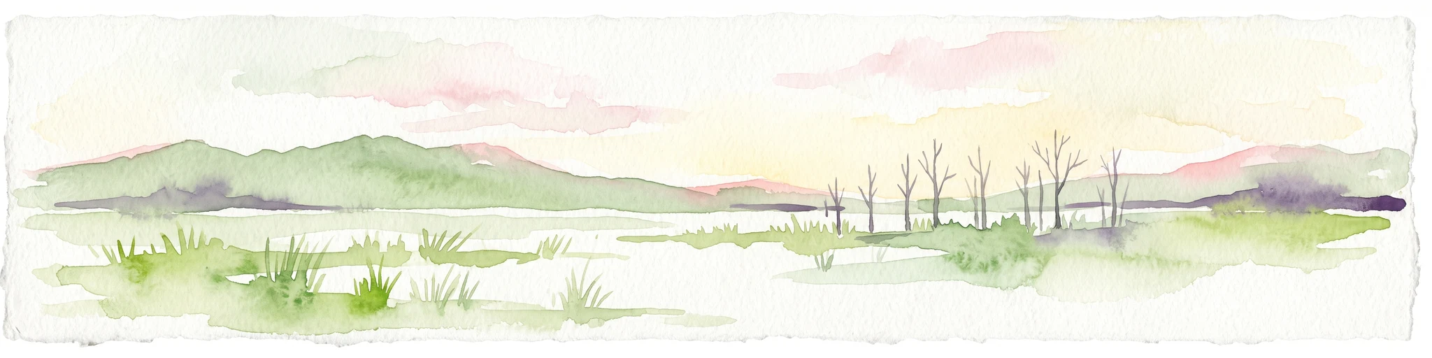
A horizontal watercolor painting depicting a wetland landscape with grassy foreground, bare skeletal trees, and rolling green hills under a soft, pale sky.
Nature reserveFlevoland
About 62 km away#17 closest

North

Oostvaardersplassen Nature Reserve: Mapped Geography and Protected Area Context

Explore the marshland and polder terrain in Flevoland, Netherlands

Oostvaardersplassen represents a landmark in modern Dutch conservation, covering a 5,600-hectare mosaic of mudflats, reed beds, and willow thickets. This nature reserve, located between Almere and Lelystad, demonstrates the evolution of a young reclaimed landscape. It provides an essential habitat for marsh birds and large herbivores within the Nationaal Park Nieuw Land region, offering a distinct study in polder-based ecological management and wetland geography.

Area
56 km²
Established
1974
Relief
Lowland
Climate
Temperate
Watercolor depiction of rolling coastal dunes, blue waterways, green vegetation, and distant hills under a light sky
National parkNorth Holland
About 65 km away#18 closest

Northwest

Zuid-Kennemerland National Park: Coastal Dune Protected Landscape in North Holland

Explore its unique mapped terrain and protected area geography.

Zuid-Kennemerland National Park showcases a remarkable coastal dune ecosystem situated in the North Holland province. This national park entry provides detailed insight into its protected landscape, from calcium-rich dune soils supporting rare flora to ancient woodlands and extensive walking trails. Users can explore the park's mapped boundaries, understand its geographic setting within the Netherlands, and appreciate its significance as a conservation area. Discover the natural terrain and ecological richness that characterize this important Dutch protected land.

Area
38 km²
Established
1995
IUCN
II
Visitors
1.8M annual
A soft, light-toned watercolor painting depicting a marshy wetland with patches of grass and distant low trees against a pale, washed-out sky.
Nature reserveNorth Rhine-Westphalia
About 66 km away#19 closest

East

Kranenburger Bruch Nature Reserve: Geography and Protected Wetland Landscapes in North Rhine-Westphalia

A preserved Niedermoor relic in the Düffel floodplain

Kranenburger Bruch stands as a prominent nature reserve in North Rhine-Westphalia, protecting a distinct lowland peat bog and alder carr forest. The area is defined by a low-lying basin topography, seasonal shallow pools, and hedgerow-lined pastures that characterize the traditional Düffel region. This reserve is recognized for its ecological density, hosting diverse birdlife and rare wetland flora across a network of brooks and open water bodies.

Area
1.18 km²
Established
1981
Relief
Lowland
Climate
Temperate
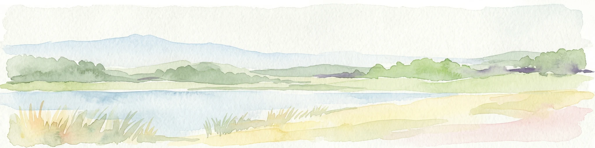
Watercolor painting of a lake, grassy shoreline, distant hills, and trees
National parkLimburg
About 67 km away#20 closest

Southeast

De Maasduinen National Park: Mapping the Longest River Dune System in the Netherlands

Protected Landscape and Dune Terrain in Limburg

Delve into the geographic identity of De Maasduinen National Park, a vital protected area in Limburg. This page offers detailed insights into its remarkable dune landscape, heathlands, and forests, emphasizing its role within the Dutch natural atlas and its connections to surrounding conservation areas.

Area
45 km²
Established
1996
IUCN
II
Relief
Lowland
Distance methodology

Geographic measurements, not driving distances

How nearby park distances are calculated

Distances use park boundaries whenever the available geometry allows it. When one or both boundaries are missing, the mapped park locations provide a clearly labelled estimate. Every value represents straight-line geographic separation and does not use roads or routing.

Boundary distance

Calculated between the nearest points of both park boundaries.

Location-to-boundary estimate

Estimated from one mapped park location to the nearest boundary of the other park.

Mapped-location estimate

Estimated between the mapped locations of both parks.

MoriAtlas Explorer

Explore the Protected River Landscape of Lingegebied & Diefdijk-Zuid

Examine the geographic boundaries and habitat distribution of Lingegebied & Diefdijk-Zuid through MoriAtlas. Gain insight into how this fragmented Natura 2000 reserve functions as a critical part of the central Netherlands protected area network and its specific river-linked terrain features.