Mori Atlas logo
Nearby park discovery

Explore regional landscape context and mapped proximity to surrounding protected lands

Geographic Distribution of Protected Areas and National Parks Near Nikkō National Park

Identify natural landscapes and protected areas that share geographic proximity to Nikkō National Park. This regional overview provides a mapped comparison of surrounding terrain and protected-land boundaries to assist in understanding the wider context of this volcanic and alpine environment.

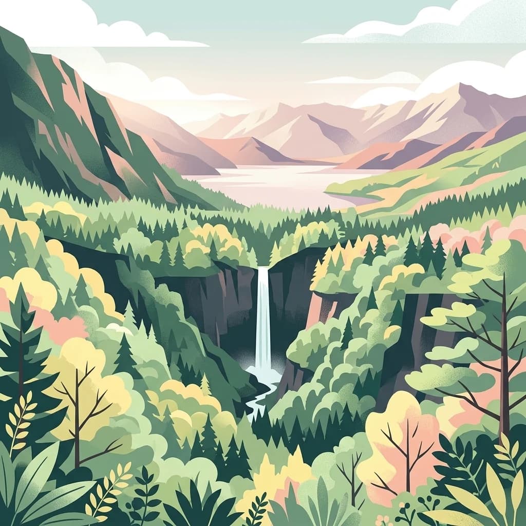
Digital illustration of a tall, narrow waterfall cascading into a forested valley, framed by mountains in the distance and dense trees in the foreground.

Ancient shrines, volcanic peaks, and alpine wetlands in the heart of Japan's Kanto region

Nikkō National Park

Nikkō National Park is a protected area spanning three prefectures in the Kantō region of Honshū, Japan. Established in December 1934, it ranks among Japan's oldest and most celebrated national parks, encompassing dramatic mountain terrain, serene highland lakes, and a landscape shaped by volcanic activity. The park is renowned for its remarkable fusion of natural landscapes and cultural heritage, hosting some of Japan's most significant Buddhist temples and Shinto shrines within its boundaries. This combination of ecological diversity and historic significance has made Nikkō one of the country's most visited and beloved protected landscapes.

Location
Japan
Park type
National park
Established
1934
Area
1,149.1 km²
Highest point
2,578 m
Nikkō National Park protected area
Regional park map

See the ranked park cluster in its geographic setting

Nearby parks around Nikkō National Park

This regional map shows the same 20 nearby parks ranked below around Nikkō National Park. Select a ranked marker to highlight that park’s boundary where boundary data is available.
Reference park: Nikkō National ParkRanked nearby park20 nearby parks shown
20 nearby parks

Explore surrounding regional park geography and comparative protected landscapes.

Ranked Protected Areas and Parks Near Nikkō National Park by Geographic Proximity

Examine distance-ranked protected areas located geographically near Nikkō National Park to evaluate surrounding regional park geography and environmental variations. Structured proximity metrics and recorded landscape characteristics provide reliable comparison signals across neighboring conservation areas.
An illustration showing a wooden boardwalk stretching into the distance across a marshy wetland, with a prominent mountain in the background under a soft sunrise sky.
National parkKantō region
About 9.1 km away#1 closest

Southwest

Oze National Park National Park: A Key Protected Landscape in the Kantō Region

Explore its mapped geography and protected area context.

Oze National Park is a designated national park in Japan's Kantō region, offering a prime example of a protected landscape. This page provides detailed insights into its geographic setting and mapped boundaries, contributing to a structured understanding of regional natural terrain. Users can delve into the park's specific identity as a conservation area and its significance within the broader atlas of Japanese geography and protected lands.

Area
372.22 km²
Established
2007
IUCN
V
Relief
Mixed relief
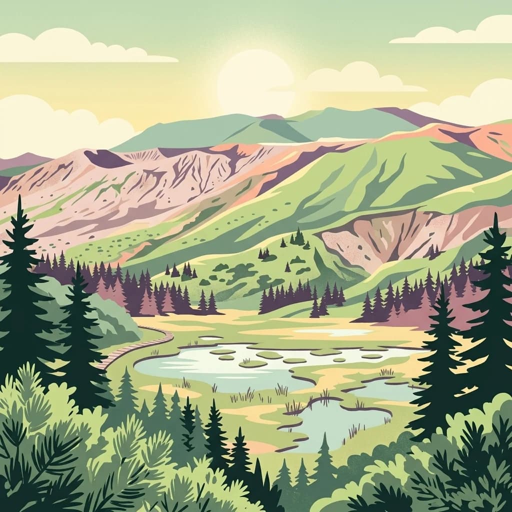
A digital illustration of a mountainous landscape with a pond, evergreen trees, and rolling hills under a setting sun.
National parkJapan
About 79 km away#2 closest

Southwest

Jōshin'etsu-kōgen National Park: Protected Landscape and Regional Geography Atlas

Explore the mapped boundaries and geographic identity of this national park.

Jōshin'etsu-kōgen National Park represents a vital protected area within Japan, offering rich opportunities for geographic discovery through its mapped landscape. This entry provides detailed context on its protected boundaries and its relation to the surrounding regional geography, perfect for atlas-based exploration of natural terrains and conservation landscapes. Understand the unique geographic setting of this important national park.

Area
1,481.94 km²
Established
1949
IUCN
II
Relief
Mountain
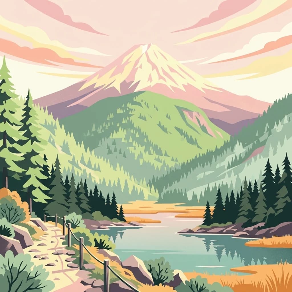
An illustrative style print of a snow-topped mountain peak rising above a green forested valley with a calm lake and a hiking trail in the foreground.
National parkTōhoku region
About 98 km away#3 closest

North

Bandai-Asahi National Park

Explore protected landscapes and mapped terrain in Japan's Tōhoku region.

Bandai-Asahi National Park, in Japan. Landscapes: mountains, valleys, and plateaus.

Area
1,870.41 km²
Established
1950
IUCN
II
Visitors
7.1M annual
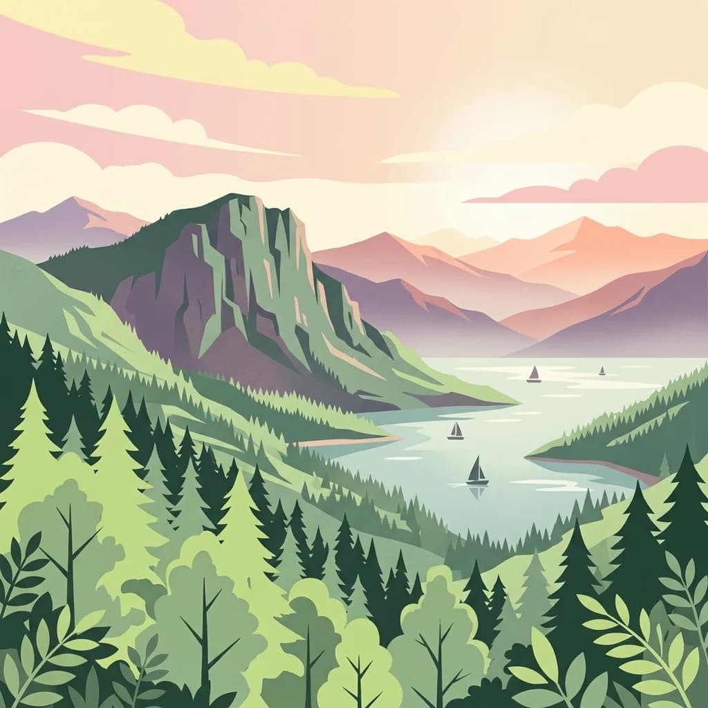
A flat-style digital illustration showing a mountain range overlooking a calm lake with several small sailboats on the water, surrounded by lush evergreen forests in the foreground.
National parkJapan
About 115 km away#4 closest

West

Myōkō-Togakushi Renzan National Park: Mapped Protected Landscape Geography in Japan

Explore the park's regional terrain and protected area context.

Delve into the geographic specificities of Myōkō-Togakushi Renzan National Park, a key protected landscape in Japan. This entry focuses on its mapped terrain, regional setting, and the atlas-value of understanding its protected boundaries. Gain clarity on the park's distinct natural geography and its contribution to the broader protected area network.

Area
397.72 km²
Established
2015
IUCN
II
Relief
Mountain
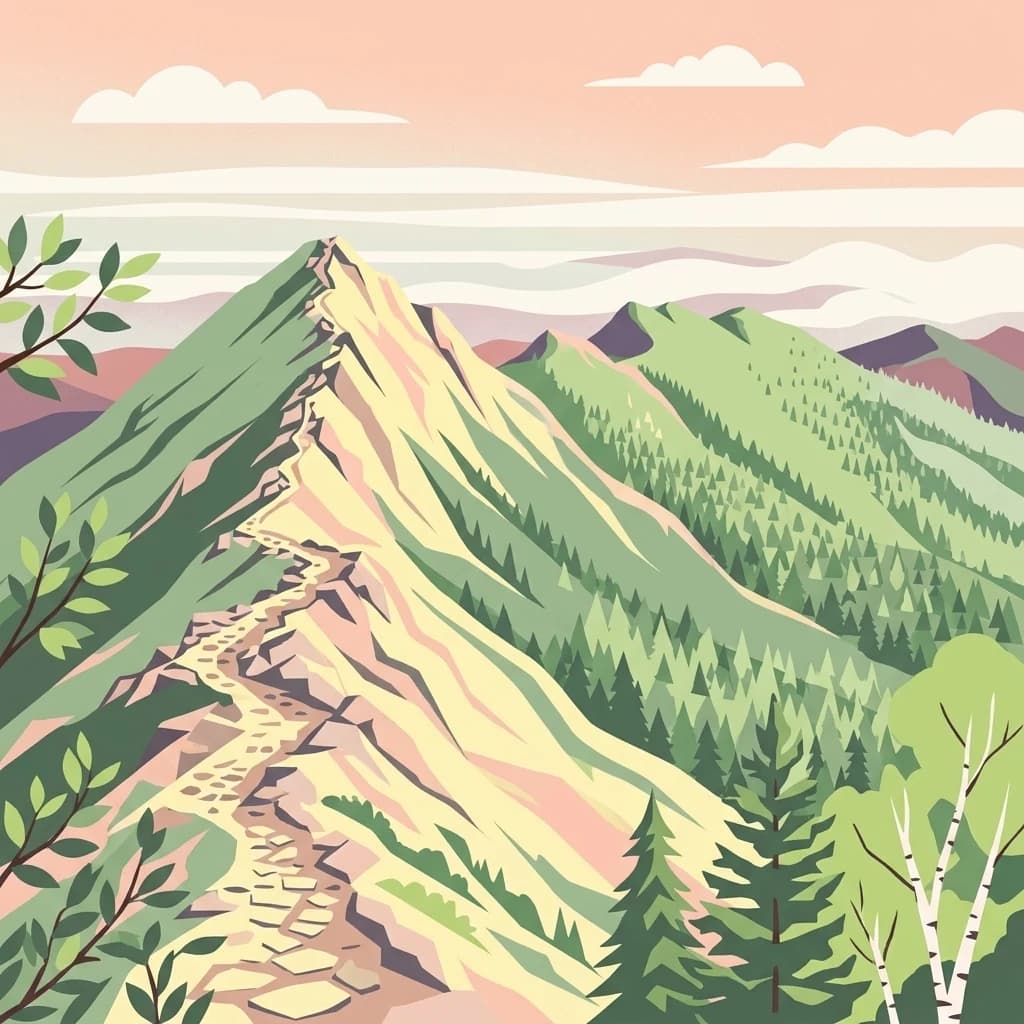
An illustration of a hiking trail leading up a mountain ridgeline, surrounded by coniferous forests and distant peaks under a soft, sunset-colored sky.
National parkSaitama Prefecture
About 134 km away#5 closest

Southwest

Chichibu-Tama-Kai National Park: Mapped Protected Landscape and Regional Geography

Explore the geographic identity of this national park.

Discover Chichibu-Tama-Kai National Park through its protected landscape features and geographic setting. This page provides detailed atlas context, focusing on the park's mapped boundaries and its contribution to the regional geography of Saitama Prefecture. Understand the unique character and structural significance of this national park for comprehensive geographic discovery.

Area
1,216 km²
Established
1950
IUCN
II
Relief
Mountain
Watercolor illustration showing mountains, a lake, and vegetation
National parkChūbu region
About 145 km away#6 closest

West

Chūbu-Sangaku National Park

Rugged peaks, alpine valleys, and mapped geography.

Chūbu-Sangaku National Park, in Chūbu region, Japan. Landscapes: mountains and rivers.

Area
1,743.23 km²
Established
1934
IUCN
II
Relief
Mountain
A colorful digital illustration featuring a large, snow-capped volcano in the distance, framed by forest-covered hills, with a wooden boardwalk curving through a golden field of grass in the foreground.
National parkJapan
About 165 km away#7 closest

South

Fuji-Hakone-Izu National Park

Explore volcanic terrain, hot springs, islands, and Mount Fuji's iconic protected boundaries.

Fuji-Hakone-Izu National Park, in Japan. Landscapes: mountains, lakes, and rivers.

Area
1,227 km²
Established
1936
IUCN
II
Visitors
11.3M annual
Watercolor painting of green and pink mountain ranges with forested foreground and distant peaks.
National parkChūbu region
About 202 km away#8 closest

Southwest

Minami Alps National Park

Discover its dramatic peaks and vital river headwaters.

Minami Alps National Park, in Chūbu region, Japan. Landscapes: mountains, forests, and rivers.

Area
357.52 km²
Established
1964
IUCN
II
Relief
Mountain
Watercolor illustration of a mountain landscape with a lake, grasses, and flowers
National parkIshikawa Prefecture
About 251 km away#9 closest

West

Hakusan National Park: Sacred Mountain Protected Landscape in Ishikawa Prefecture

Mapped alpine terrain and volcanic geography for protected area discovery.

Hakusan National Park offers a unique exploration of Japan's sacred mountain heritage and alpine natural beauty. This protected landscape, centered on Mount Haku, features distinct volcanic terrain, crater lakes, and exceptional alpine flora. Users can explore the park's mapped boundaries, understand its place within Ishikawa Prefecture's geography, and appreciate its role as a significant UNESCO Biosphere Reserve for detailed atlas-based discovery.

Area
477 km²
Established
1962
IUCN
II
Relief
Mountain
A graphic illustration depicting a central mountain peak behind a foreground of green fields and evergreen trees under a soft-colored sky with clouds.
National parkMie Prefecture
About 370 km away#10 closest

Southwest

Ise-Shima National Park

Mapped protected landscapes and natural terrain context.

Ise-Shima National Park, in Mie Prefecture, Japan.

Area
746.44 km²
Established
1946
IUCN
II
Visitors
8.2M annual
National parkTōhoku
About 371 km away#11 closest

Northeast

Sanriku Fukkō National Park: National Park Protected Landscape and Regional Geography

Explore mapped boundaries and natural terrain in Tōhoku.

Sanriku Fukkō National Park serves as a pivotal protected area within the Tōhoku region, offering rich geographic detail for atlas exploration. This national park's identity is intrinsically linked to its mapped landscape and protected boundaries, providing valuable insights into northeastern Japan's natural terrain. Through its representation, users gain a structured understanding of the park's place within the regional geography, facilitating a deeper dive into protected land contexts.

Area
285.37 km²
Established
2013
IUCN
II
Relief
Lowland
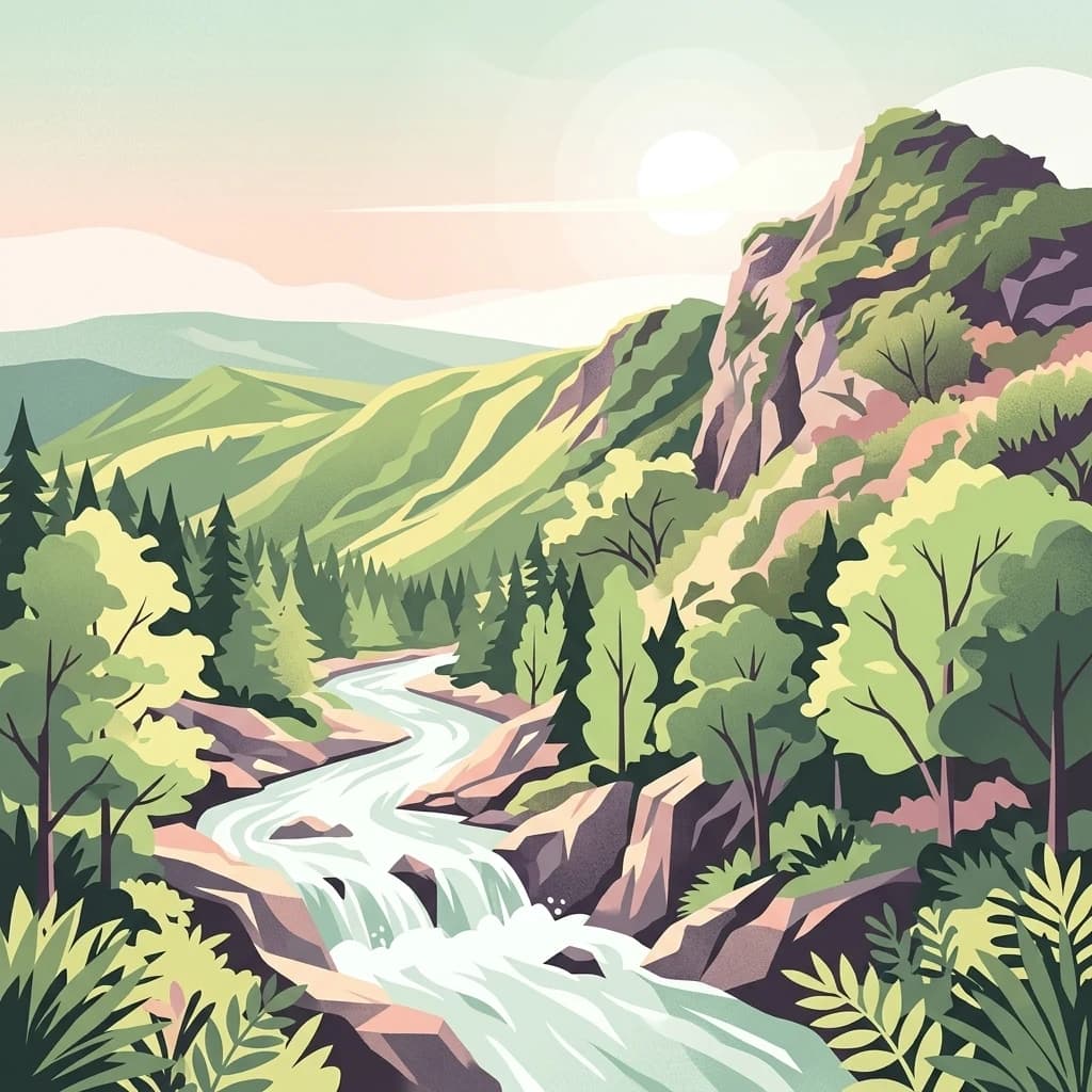
A digital illustration of a winding river flowing through a lush mountain valley with green trees, rocky banks, and a soft sunset in the background.
National parkJapan
About 432 km away#12 closest

North

Towada-Hachimantai National Park: Mapping Japan's Volcanic and Alpine Protected Landscapes

Explore the geography of this northern Honshu national park.

Towada-Hachimantai National Park offers a unique atlas perspective on Japan's dynamic volcanic geology and alpine ecosystems. This national park protects a vast expanse of rugged terrain, featuring the iconic caldera of Lake Towada and the expansive volcanic plateaus of the Hachimantai region. Understanding its mapped boundaries reveals the distribution of its characteristic landscapes, from old-growth beech forests along river valleys to subalpine environments crowning volcanic peaks, providing a deep dive into its protected natural geography.

Area
855.34 km²
Established
1936
IUCN
II
Visitors
5.9M annual
An illustration depicting coastal sand dunes with sparse vegetation leading to a sea coastline under a sunny sky.
National parkTottori Prefecture
About 455 km away#13 closest

West

Sanin Kaigan National Park: Explore its Mapped Boundaries and Regional Geography

Tottori Prefecture National Park Landscape Context

Sanin Kaigan National Park is a key protected area offering detailed insights into Japan's natural landscapes. As a designated national park situated in Tottori Prefecture, it provides a rich subject for geographic discovery. This park's mapped boundaries and its integration into the regional geography of Tottori Prefecture are central to understanding its protected landscape character. MoriAtlas facilitates a structured exploration of Sanin Kaigan National Park, emphasizing its atlas-relevant geographic attributes and its identity as a conservation area.

Area
87.83 km²
Established
1963
IUCN
II
Relief
Mixed relief
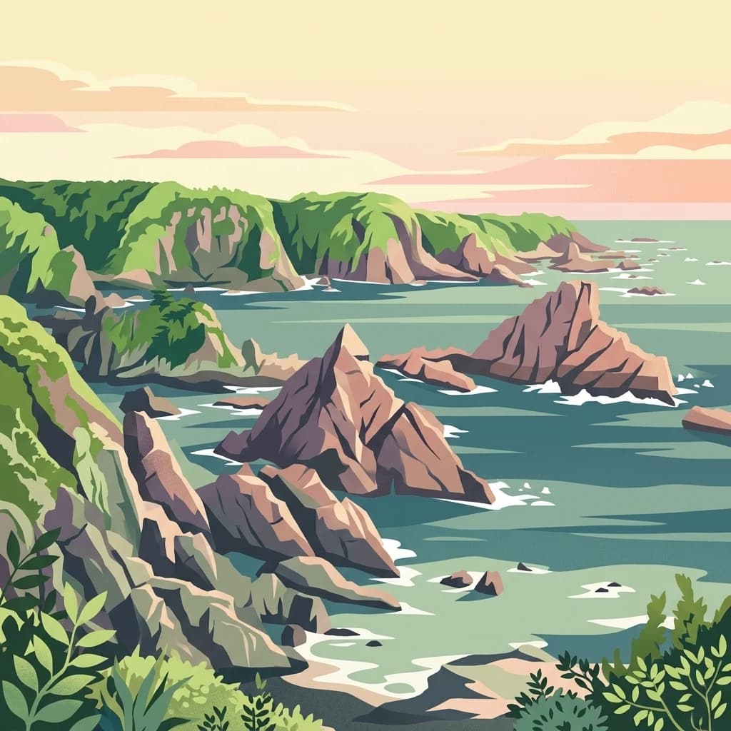
An illustration of a rocky coastline meeting the sea, featuring jagged cliffs with green vegetation, pointed sea stacks in the water, and a soft, pastel-colored sunset sky.
National parkKansai
About 472 km away#14 closest

Southwest

Yoshino-Kumano National Park: Protected National Park with Sacred Mountain Landscapes and Ancient Routes

Explore mapped park boundaries, gorges, and pilgrimage routes in Kansai.

Yoshino-Kumano National Park, a significant national park in Japan's Kansai region, invites exploration of its protected landscapes, which are deeply intertwined with spiritual heritage. Discover the park's rugged mountain terrain, ancient cypress and cedar forests, dramatic gorges like Dorokyō Gorge, and iconic coastal areas. This park is a vital entry for understanding Japan's confluence of natural geography and cultural pilgrimage, offering rich context for mapped landscape discovery.

Area
616.04 km²
Established
1936
IUCN
II
Relief
Mountain
A stylized illustration showing a mountain range in the background behind a lush forest and a rocky stream with a small waterfall.
National parkChūgoku region
About 534 km away#15 closest

West

Daisen-Oki National Park

Mapped geography and protected land context.

Daisen-Oki National Park, in Chūgoku region, Japan. Landscapes: mountains, cliffs, and coasts.

Area
694.105 km²
Established
1936
IUCN
II
Visitors
9.3M annual
An illustration showing a coastal landscape with several small rocky islands covered in vegetation scattered in the Seto Inland Sea, a curved sandy beach in the foreground, and a small torii gate visible on the distant shore under a sunset sky.
National parkJapan
About 632 km away#16 closest

Southwest

Setonaikai National Park: Japan's Premier Island Archipelago and Coastal Protected Landscape

Explore the unique marine geography and mapped island environments.

Setonaikai National Park is Japan's largest national park, renowned for its stunning marine environment within the Seto Inland Sea. This protected area features approximately 3,000 islands, showcasing weathered granite formations, coastal forests, and dynamic tidal phenomena like the Naruto whirlpools. The park offers a unique atlas-style exploration of island geography, coastal landscapes, and significant cultural sites, making it a cornerstone of Japan's protected natural heritage.

Area
669.34 km²
Established
1934
IUCN
II
Visitors
40.6M annual
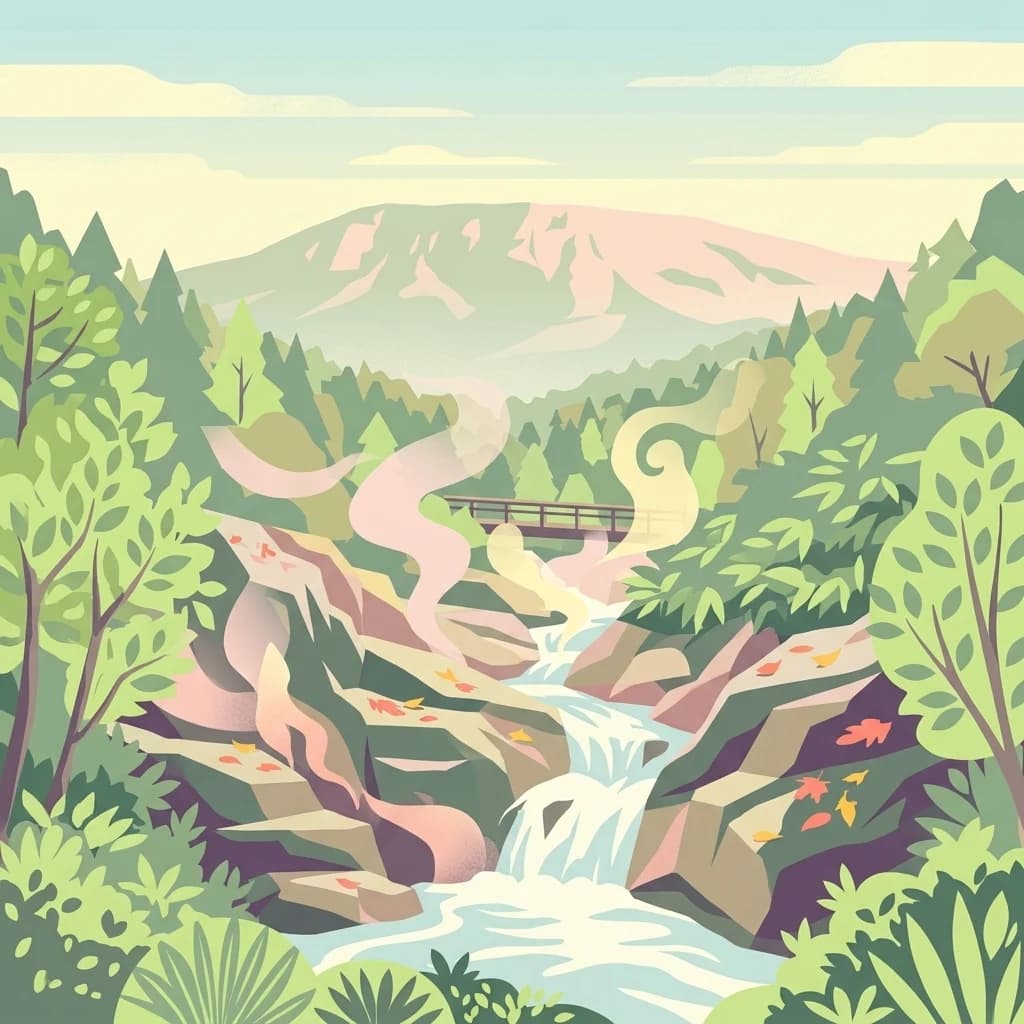
A stylized vector illustration of a steaming thermal stream flowing over rocky terrain, surrounded by lush forest and a mountain in the background.
National parkHokkaido
About 646 km away#17 closest

North

Shikotsu-Tōya National Park: Hokkaido's Premier Volcanic National Park with Caldera Lakes

Explore mapped terrain, geothermal features, and active volcanoes.

Shikotsu-Tōya National Park, located in Hokkaido, Japan, is a prime example of a protected area defined by its intense volcanic geology. The park features prominent caldera lakes, including Lake Shikotsu and Lake Tōya, surrounded by active volcanic cones and dramatic geothermal landscapes. Its distinctive terrain makes it a key destination for understanding regional geography and the mapped protected areas of Japan's northern island, offering a unique glimpse into dynamic geological processes.

Area
994.73 km²
Established
1949
IUCN
II
Relief
Mountain
Abstract watercolor painting with soft green and light blue hues on white background
National parkHokkaido
About 674 km away#18 closest

Northeast

Hidakasanmyaku-Erimo-Tokachi National Park: Japan's Largest Protected Landscape Atlas

Volcanic peaks, coastal cliffs, and Hokkaido's expansive geography.

Hidakasanmyaku-Erimo-Tokachi National Park represents Japan's largest national park, offering a comprehensive exploration of its protected landscape. This vast area in Hokkaido combines the rugged topography of the Hidaka volcanic mountain range with the striking maritime environment of Cape Erimo. Users can explore detailed geographic contexts, understand the park's extensive boundaries, and appreciate its role as a crucial protected natural area at the intersection of alpine and coastal ecosystems.

Area
2,456.68 km²
Established
2024
IUCN
II
Relief
Mountain
An illustration of a white lighthouse standing on a forested granite cliff overlooking a blue ocean, with lush vegetation in the foreground and a hazy pastel sunset in the background.
National parkJapan
About 750 km away#19 closest

Southwest

Ashizuri-Uwakai National Park: Japan's National Park Protected Landscape

Explore the mapped geography and protected area context.

Delve into the protected landscape identity of Ashizuri-Uwakai National Park, a key national park located in Japan. This page provides essential context for understanding its mapped boundaries, its geographic placement within the Japanese archipelago, and its role as a designated protected area. It is designed to offer a structured view of the park's natural terrain and its significance for regional atlas exploration, serving as a gateway to detailed landscape context.

Area
113.45 km²
Established
1972
IUCN
II
Relief
Mixed relief
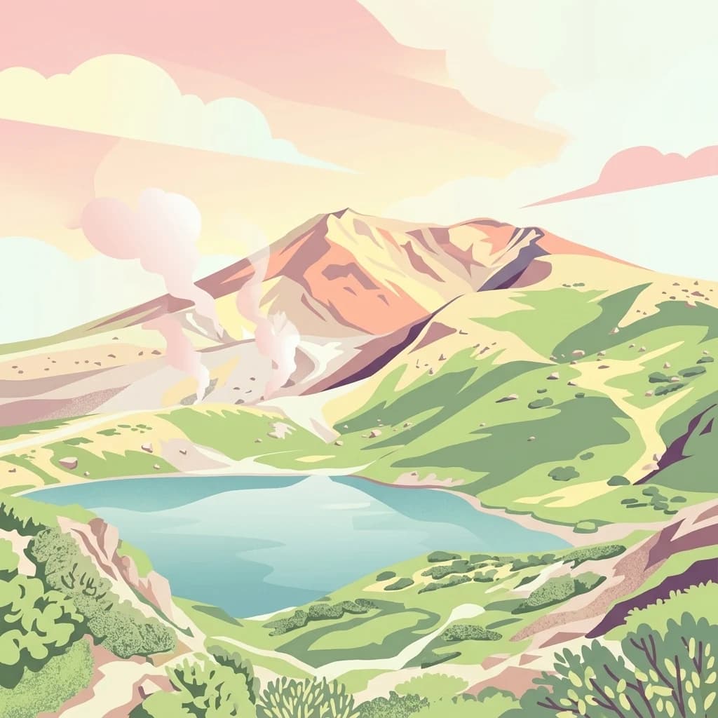
A stylized flat vector illustration of a volcanic mountain range in Daisetsuzan National Park featuring a central peak, steaming vents, a blue alpine lake in the foreground, and green hills under a soft pink and orange sky.
National parkJapan
About 755 km away#20 closest

North

Daisetsuzan National Park

Explore Hokkaido's largest national park and its vast mountain terrain.

Daisetsuzan National Park, in Japan. Landscapes: mountains, volcanoes, and forests.

Area
2,267.64 km²
Established
1934
IUCN
II
Visitors
6M annual
Distance methodology

Geographic measurements, not driving distances

How nearby park distances are calculated

Distances use park boundaries whenever the available geometry allows it. When one or both boundaries are missing, the mapped park locations provide a clearly labelled estimate. Every value represents straight-line geographic separation and does not use roads or routing.

Boundary distance

Calculated between the nearest points of both park boundaries.

Location-to-boundary estimate

Estimated from one mapped park location to the nearest boundary of the other park.

Mapped-location estimate

Estimated between the mapped locations of both parks.

MoriAtlas Explorer

Continue Exploring Nikkō National Park's Geographic and Landscape Features

Deepen your atlas exploration by investigating the detailed geography and protected landscape of Nikkō National Park. Understanding its mapped boundaries and regional setting provides crucial context for appreciating its role as a national park within Tochigi Prefecture. MoriAtlas facilitates a structured approach to discovering the inherent geographic characteristics of this protected natural area.

Global natural geography