Mori Atlas logo
Nearby park discovery

Explore the regional geography, spatial distribution, and nearby protected landscapes

National Parks and Protected Areas Near Queen Elizabeth National Park in Uganda

Trace the geographic context of Queen Elizabeth National Park by identifying surrounding protected areas within the Western Region and beyond. This spatial overview highlights the distribution of neighboring wilderness lands, helping to map the wider conservation landscape across Uganda and its immediate geographical context.

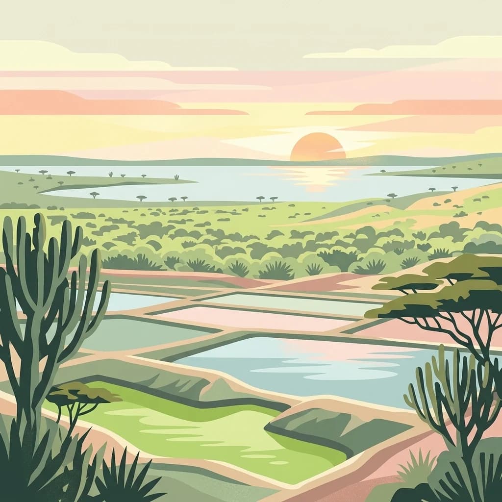
A stylized digital illustration of a savanna landscape with rectangular crater lakes in the foreground and a large body of water under a setting sun in the background.

Uganda's premier wildlife sanctuary famous for tree-climbing lions, volcanic craters, and the Kazinga Channel

Queen Elizabeth National Park

Queen Elizabeth National Park is one of Uganda's most significant protected areas, located in the Western Region of the country across the districts of Kasese, Kamwenge, Rubirizi, and Rukungiri. The park covers approximately 1,978 square kilometers and is renowned for its exceptional biodiversity and varied landscapes that include volcanic cones, deep craters, and expansive savanna ecosystems. Established in 1952 as Kazinga National Park, the area was renamed two years later to honor Queen Elizabeth II following her visit. The park forms part of a larger ecological complex that includes Virunga National Park in the Democratic Republic of Congo to the west and Kibale National Park to the northeast, together encircling Lake Edward and creating one of Africa's most important transboundary conservation landscapes.

Location
Uganda
Park type
National park
Established
1952
Area
1,978 km²
Queen Elizabeth National Park Atlas
Regional park map

See the ranked park cluster in its geographic setting

Nearby parks around Queen Elizabeth National Park

This regional map shows the same 16 nearby parks ranked below around Queen Elizabeth National Park. Select a ranked marker to highlight that park’s boundary where boundary data is available.
Reference park: Queen Elizabeth National ParkRanked nearby park16 nearby parks shown
16 nearby parks

Distance ranked regional park geography and surrounding protected landscapes

Parks and Protected Areas Geographically Near Queen Elizabeth National Park

Examine the ranked collection of nearby protected areas surrounding Queen Elizabeth National Park to evaluate geographic separation and regional proximity. Compare recorded environmental characteristics and country context to understand broader protected landscape patterns across the wider conservation region.
Watercolor illustration of rolling hills, mountains, and a river or lake
National parkDemocratic Republic of the Congo
About 35 km away#1 closest

Southwest

Virunga National Park: Democratic Republic of the Congo's Premier Protected Landscape

Mapped boundaries and diverse Albertine Rift endemic geography.

Virunga National Park represents a pivotal protected area within the Democratic Republic of the Congo, characterized by an exceptional range of geographic features and vital ecosystems. Its protected landscape includes active volcanoes like Nyiragongo with its lava lake, the towering Rwenzori Mountains, and diverse lowland savannas. This atlas-focused entry highlights the park's unique position in the Albertine Rift, crucial for numerous endemic species and offering significant insight into regional geography and protected land context.

Area
7,800 km²
Established
1925
IUCN
II
Relief
Mountain
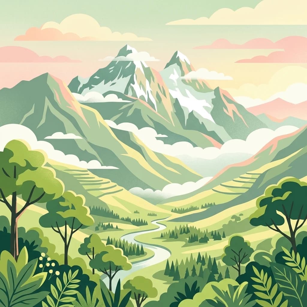
An illustration showing a lush green mountain valley with a winding river, forested slopes, and snow-capped peaks against a soft sunset sky.
National parkUganda
About 59 km away#2 closest

North

Rwenzori Mountains National Park: A Study of Glacial Terrain and Afro-alpine Ecosystems

Explore the mountainous geography of Uganda and its protected high-altitude landscapes.

Defined by massive massifs and retreating glaciers, Rwenzori Mountains National Park features a rare vertical landscape that anchors the geography of western Uganda. Trace the boundaries of this protected area to understand its unique role in supporting biodiversity across distinct vegetation zones, from lowland montane forests to snow-capped summits.

Area
996 km²
Established
1991
IUCN
VI
Relief
Mountain
A flat-style digital illustration showing a deep valley between tall cliffs, featuring a meandering river in the foreground that leads toward a central waterfall in the distance, surrounded by forested slopes.
National parkUganda
About 81 km away#3 closest

Northeast

Kibale National Park: National Park Atlas and Protected Landscape in Uganda

Explore mapped boundaries and regional geographic context.

Kibale National Park represents a key protected landscape within Uganda, identified by its national park designation. This entity offers a focused lens for understanding regional geography and the distribution of protected areas across East Africa. Delve into the mapped boundaries and specific landscape character that define Kibale National Park, providing a concrete point of reference for atlas exploration and geographic discovery.

Area
776 km²
Established
1993
IUCN
II
Relief
Mixed relief
A digital illustration of a mountainous landscape viewed through thick tropical foliage, showing a central volcanic-style peak framed by trees.
National parkKanungu District
About 90 km away#4 closest

Southwest

Bwindi Impenetrable National Park

Explore its protected landscape and regional context.

Bwindi Impenetrable National Park, in Kanungu District, Uganda. Landscapes: mountains, valleys, and forests.

Area
331 km²
Established
1991
IUCN
II
Relief
Mountain
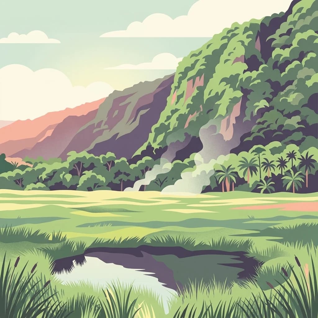
A digital illustration of a scenic valley with a small pond in the foreground, surrounded by tall grass, with dense jungle vegetation and a large forested mountain rising in the background under a soft sky.
National parkUganda
About 106 km away#5 closest

North

Semuliki National Park: Protected Lowland Rainforest Geography and Atlas Data

A mapped tropical valley wilderness in western Uganda

Semuliki National Park stands as a significant protected lowland rainforest in Uganda, characterized by a flat, humid valley floor and dense forest corridors along the Semuliki River. This area serves as a rare example of Central African ecological communities preserved within an East African landscape, offering extensive data on its unique vegetation patterns and riparian zones.

Area
219 km²
Established
1993
IUCN
II
Relief
Lowland
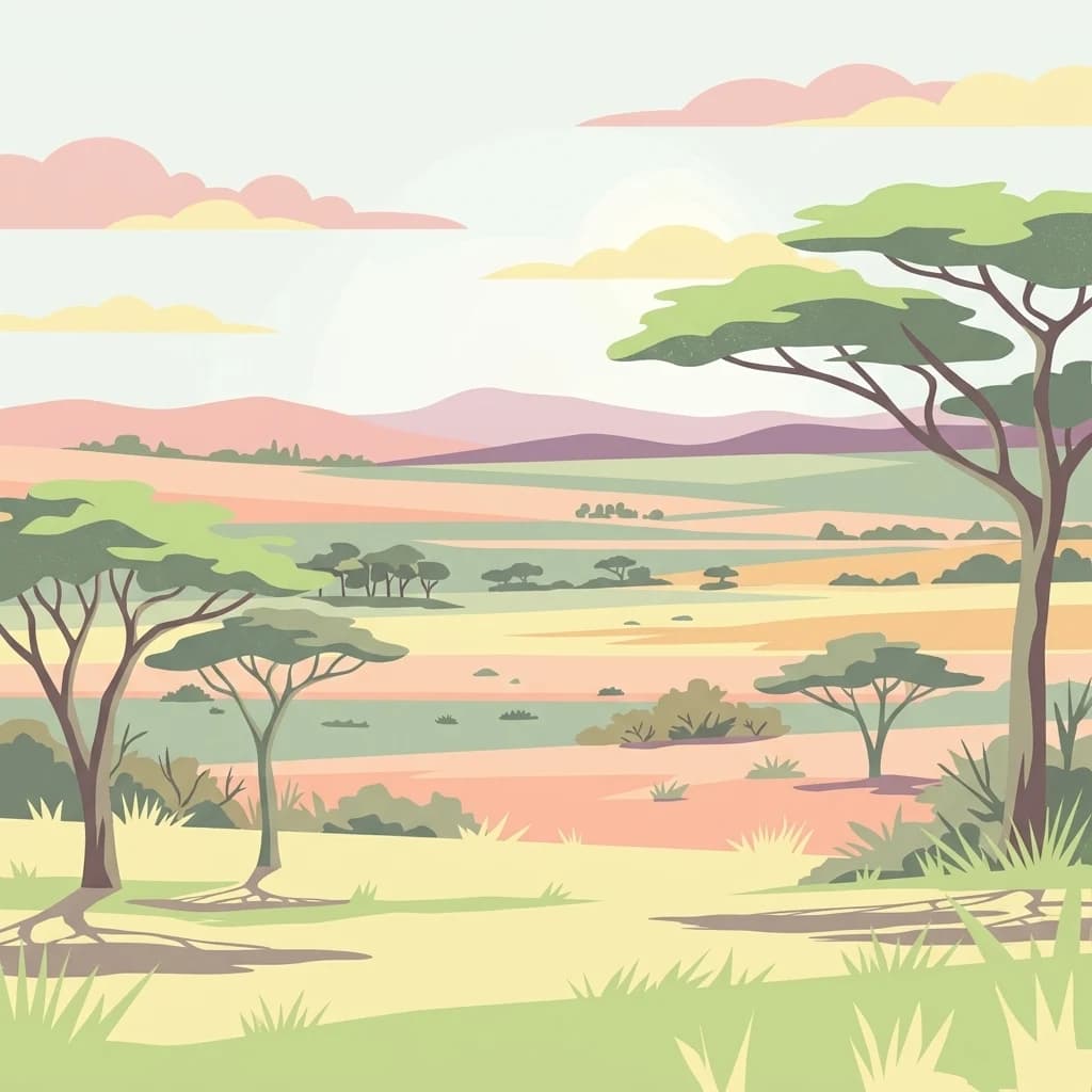
A flat-style digital illustration of an open savanna with scattered acacia trees, rolling hills in the background, and a soft, warm-toned sunrise sky.
National parkKiruhura District
About 116 km away#6 closest

Southeast

Lake Mburo National Park: Uganda's National Park in Kiruhura District

Explore its mapped boundaries and regional geography.

Delve into the protected landscape of Lake Mburo National Park, situated in Uganda's Kiruhura District. This entry provides essential geographic context, mapping its boundaries and regional setting for users interested in detailed atlas exploration of protected areas and natural landscapes.

Area
260 km²
Established
1983
IUCN
II
Relief
Lowland
National parkKagera Region
About 130 km away#7 closest

Southeast

Ibanda-Kyerwa National Park: Tanzania's Tri-Border Protected Landscape and Geographic Atlas

Savanna, riparian habitats, and vital regional geography exploration.

Delve into Ibanda-Kyerwa National Park, a recently established national park in Tanzania's Kagera Region. This protected area is distinguished by its critical location at the tri-border with Uganda and Rwanda, with the Kagera River system defining its unique savanna and riparian landscapes. Understanding its mapped boundaries and ecological context provides essential insight into protected land discovery in northwestern Tanzania and its role within the wider regional atlas.

Area
200 km²
Established
2019
IUCN
II
Relief
Highland
National parkKagera Region
About 142 km away#8 closest

Southeast

Rumanyika-Karagwe National Park: Protected Landscape and Geographic Context in Kagera Region

Explore the mapped boundaries and regional setting of this national park.

Rumanyika-Karagwe National Park serves as a vital protected landscape within the Kagera Region of Tanzania. This entry facilitates a geographic discovery of the park, highlighting its mapped outlines and its role as a national park. Users can gain an understanding of its regional landscape context, providing a solid foundation for atlas-based exploration and appreciating the park's protected area status.

Area
247 km²
Established
2019
IUCN
II
Climate
Tropical
An illustrative digital painting of a dense bamboo forest with a large, gnarled central tree and green bamboo stalks surrounding a forest clearing.
National parkKisoro District
About 143 km away#9 closest

South

Mgahinga Gorilla National Park: A Geographic Study of Virunga Mountain Landscapes

Exploring protected boundaries and volcanic terrain in Kisoro District.

Mgahinga Gorilla National Park covers an essential range of montane forest and alpine zones across three dormant volcanoes in the Kisoro District of Uganda. This protected area functions as a key element of the broader Virunga mountain ecosystem, providing specialized habitats for endangered primate populations and endemic bird species. The dramatic vertical relief from bamboo forests to summit peaks defines this critical segment of the Albertine Rift conservation network.

Area
33.9 km²
Established
1991
IUCN
II
Relief
Mountain
Watercolor painting showing green and pink trees, hills in background, and grass in foreground
National parkRwanda
About 159 km away#10 closest

Southwest

Volcanoes National Park: Rwanda's Protected Volcanic Landscape and Regional Geography

Mapped park boundaries and East African geographic context.

Delve into Volcanoes National Park, a crucial protected area within Rwanda's northwest. This page offers detailed insight into its geography, highlighting the volcanic terrain and mapped boundaries that define this important national park. Understand its placement within the Virunga Mountains and its contribution to the natural landscape of East Africa, providing a foundation for atlas-based exploration of protected lands.

Area
160 km²
Established
1925
IUCN
II
Relief
Mountain
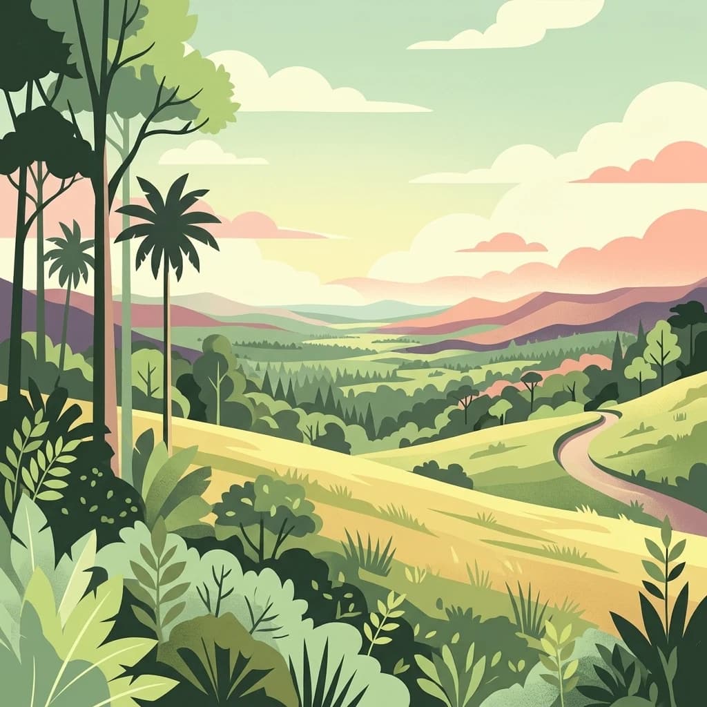
A flat, stylized illustration of a rolling tropical landscape with palm trees, dense forest vegetation, and a winding dirt path under a soft, pastel-colored sunset sky.
National parkDemocratic Republic of the Congo
About 168 km away#11 closest

West

Maiko National Park National Park: Map and Protected Landscape Exploration

Discover primary forest terrain and endemic species sanctuary.

Maiko National Park, situated in the Democratic Republic of the Congo, is a cornerstone of central African conservation, protecting over 10,000 square kilometers of pristine tropical rainforest. This national park is recognized globally for its critical role in harboring endemic species such as Grauer's gorilla and the okapi, alongside significant populations of forest elephants and chimpanzees. Its extensive river systems and varied terrain within the Ituri Rainforest ecosystem provide essential habitat, establishing Maiko as a key area for understanding and preserving central African biodiversity and landscape context.

Area
10,885 km²
Established
1970
IUCN
II
Relief
Mixed relief
National parkEastern Province
About 185 km away#12 closest

Southeast

Akagera National Park

Understand the mapped terrain and regional context of Akagera National Park.

Akagera National Park, in Rwanda.

Area
1,122 km²
Established
1934
Visitors
34K annual
Relief
Mixed relief
A digital illustration showing a lush landscape of rolling green hills, dense patches of trees, and distant ridgelines under a soft, warm-toned sky.
National parkWestern Province
About 191 km away#13 closest

South

Gishwati Forest National Park: Discover Rwanda's Protected Landscape Geography

Mapped protected area boundaries and regional natural landscape.

Gishwati Forest National Park offers a focused exploration of a significant protected natural landscape in Rwanda's Western Province. This resource provides detailed geographic context, highlighting the park's mapped boundaries and its role within the country's conservation areas. Understand its terrain and regional landscape importance through an atlas-centric view.

Area
32.02 km²
Established
2015
IUCN
IV
Relief
Mountain
A flat-style digital illustration of a serene mountain landscape with rolling grassy meadows, patches of forest, and distant hills under a soft pastel sky.
National parkRwanda
About 191 km away#14 closest

South

Gishwati-Mukura National Park: Rwanda's Protected Montane Forest Landscape in the Albertine Rift

Explore its mapped boundaries and regional geography.

Gishwati-Mukura National Park, located in western Rwanda, is a vital protected area renowned for its montane forest ecosystems. This national park occupies mountainous terrain characteristic of the Albertine Rift, contributing significantly to watershed protection and regional biodiversity. Users can explore its specific geographic context, mapped landscape features, and its role within Rwanda's broader conservation atlas.

Area
32.02 km²
Established
2015
IUCN
II
Relief
Highland
Watercolor illustration of a landscape with mountains, water bodies, and grassy fields
National parkDemocratic Republic of the Congo
About 258 km away#15 closest

Southwest

Kahuzi-Biega National Park

Geographic atlas of the Mitumba Mountains and lowland rainforest transition

Kahuzi-Biega National Park, in Democratic Republic of the Congo. Landscapes: mountains, forests, and wetlands.

Area
6,000 km²
Established
1970
IUCN
II
Relief
Mixed relief
National parkTanzania
About 271 km away#16 closest

Southeast

Burigi-Chato National Park: Protected Landscape Atlas Entry for Tanzania

Explore the mapped geography and terrain of this Tanzanian national park.

Burigi-Chato National Park serves as a distinct protected area within Tanzania, detailed here for its geographic significance and atlas exploration value. Users can delve into the park's specific landscape characteristics, its protected boundaries, and its regional setting. This content is designed to support a deeper understanding of conservation lands and natural terrain within the East African context, offering a factual entry point for detailed geographic discovery.

Area
4,707 km²
Established
2019
IUCN
II
Relief
Mixed relief
Distance methodology

Geographic measurements, not driving distances

How nearby park distances are calculated

Distances use park boundaries whenever the available geometry allows it. When one or both boundaries are missing, the mapped park locations provide a clearly labelled estimate. Every value represents straight-line geographic separation and does not use roads or routing.

Boundary distance

Calculated between the nearest points of both park boundaries.

Location-to-boundary estimate

Estimated from one mapped park location to the nearest boundary of the other park.

Mapped-location estimate

Estimated between the mapped locations of both parks.

MoriAtlas Explorer

Continue Exploring Queen Elizabeth National Park's Geographic Identity and Mapped Terrain

Delve deeper into the atlas-driven insights of Queen Elizabeth National Park. Understanding its precise location, protected landscape features, and regional geography provides a foundation for appreciating its significance. This pathway facilitates structured discovery of its mapped context, enriching your comprehension of Uganda's protected areas and their natural landscape characteristics.

Global natural geography