Mori Atlas logo
Nearby park discovery

Mapping the geographic landscape and regional distribution of neighboring protected lands

Parks and Protected Areas Situated Near Tyresta National Park in Stockholm County Sweden

Investigate the regional geographic context of Tyresta National Park by exploring surrounding protected areas and landscape zones. This overview provides a mapped perspective on the distribution of nearby forests, wetlands, and natural terrain features within Stockholm County to facilitate broader regional discovery.

Related tags

Old-growth forestLakesNature reservesNorthern EuropeBiodiversity

Old-growth forest reserve near Stockholm with notable fire history

Tyresta National Park

Tyresta National Park is a protected area in southern Sweden located approximately 20 kilometers southeast of central Stockholm, spanning Stockholm County within Haninge and Tyresö municipalities. The park covers roughly 20 square kilometers and is surrounded by a larger nature reserve of about 27 square kilometers, creating a combined protected area of approximately 47 square kilometers. The landscape is characterized by a distinctive rift valley formation that is typical of central Sweden but remains unique in an international context. Established in 1993 as the 23rd national park in Sweden, Tyresta protects one of the largest contiguous sections of old-growth forest in southern Sweden, with some pine trees reaching ages of 400 years. The park features several lakes including Stensjön, Årsjön, and Långsjön, alongside wetlands, bogs, and varied terrain that supports diverse ecological communities.

Location
Sweden
Park type
National park
Established
1993
Area
20 km²
Tyresta National Park Protected Landscape
Regional park map

See the ranked park cluster in its geographic setting

Nearby parks around Tyresta National Park

This regional map shows the same 20 nearby parks ranked below around Tyresta National Park. Select a ranked marker to highlight that park’s boundary where boundary data is available.
Reference park: Tyresta National ParkRanked nearby park20 nearby parks shown
20 nearby parks

Distance ranked collection and surrounding regional park geography comparison

Parks and Protected Areas Geographically Near Tyresta National Park

Browse parks and protected areas located geographically near Tyresta National Park, ordered by straight line separation and directional context. Evaluating surrounding landscapes and recorded environmental characteristics reveals broader regional patterns across protected natural areas.
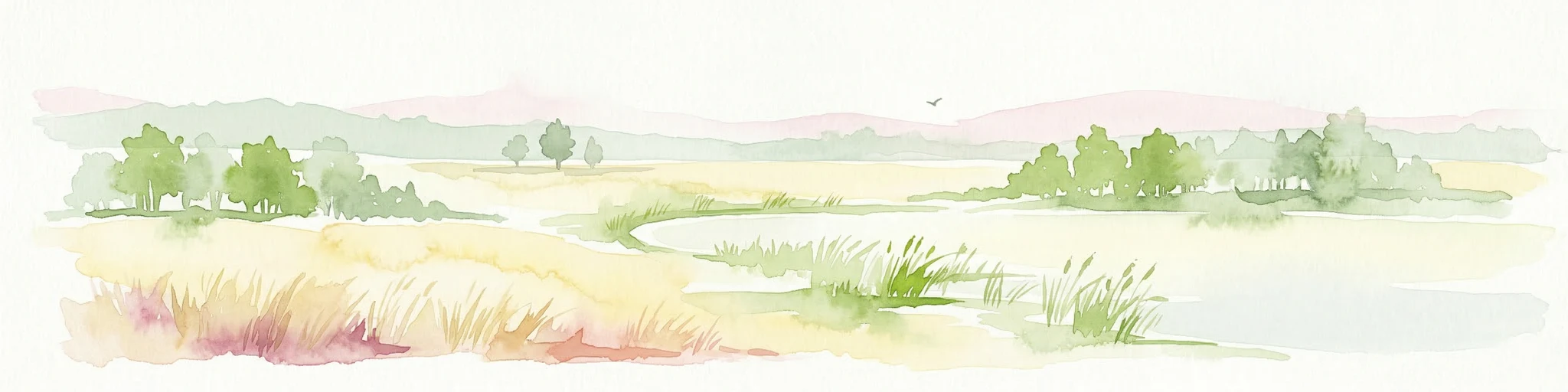
Watercolor painting of a grassy field with trees and a soft sky
National parkStockholm County
About 55 km away#1 closest

Northeast

Ängsö National Park: Flower-Rich Cultural Landscape in Stockholm County's Archipelago

Mapped protected area and historic island geography

Ängsö National Park, a protected national park in Stockholm County, offers a rare glimpse into a flower-rich cultural landscape shaped by history and nature. The island's mapped boundaries encompass idyllic meadows, mature deciduous forests, and a unique archipelago setting. MoriAtlas highlights its significance as one of Sweden's earliest national parks, providing context for its distinctive natural terrain and protected landscape identity within the Roslagen region.

Area
1.68 km²
Established
1909
IUCN
II
Relief
Lowland
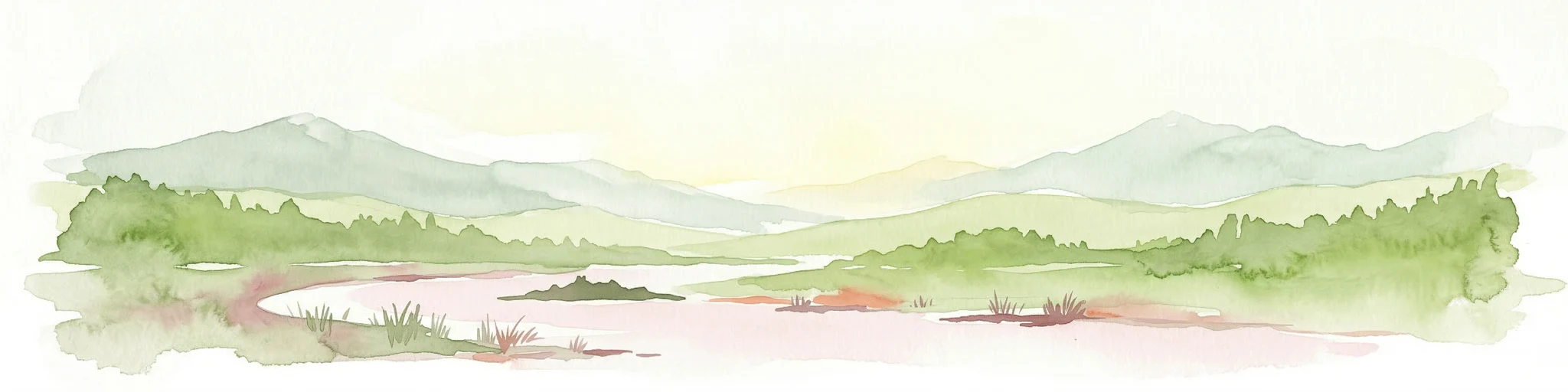
Watercolor illustration showing a coastal landscape with green vegetation in the foreground, light-colored water or sand in the middle ground, and pastel sky colors in the background
National parkSweden
About 101 km away#2 closest

Southeast

Gotska Sandön National Park: Unique Baltic Island Protected Landscape & Dune Atlas

Mapped geography and ancient pine forests on a Swedish island.

Delve into Gotska Sandön National Park, a distinct national park encompassing an entire Baltic island renowned for its significant sand dune systems and ancient pine forests. This protected area showcases a rare sandy island ecosystem and a unique landscape shaped by coastal influences. MoriAtlas provides structured geographic context to understand the mapped boundaries and natural terrain of Gotska Sandön, highlighting its role as a vital protected natural landscape in the Scandinavian region.

Established
1963
IUCN
II
Scope
Terrestrial
Water
Minor water
Watercolor illustration of a river flowing through a forested landscape with hills in the background.
National parkVästmanland County
About 134 km away#3 closest

Northwest

Färnebofjärden National Park: Protected River Landscape and Birdlife Atlas

Explore Västmanland County's unique riverine protected area and mapped terrain.

Färnebofjärden National Park offers a unique geographic perspective as a protected national park situated in Sweden's Västmanland County. This page details the park's distinct riverine landscape, characterized by the Dalälven River's intricate network of channels, wetlands, and islands, and its position at a critical ecological frontier. Discover the mapped boundaries and regional context of this important protected area, renowned for its exceptional bird populations and diverse natural habitats.

Area
101 km²
Established
1998
IUCN
II
Relief
Lowland
Watercolor illustration showing a coastal landscape with small islands, green vegetation, and calm water
National parkFinland
About 181 km away#4 closest

Northeast

Archipelago National Park: Mapped Protected Landscape and Geographic Context in Finland

Explore protected area boundaries and natural terrain.

Archipelago National Park represents a vital component of Finland's protected lands. This page serves as an atlas-focused entry point, detailing the park's specific geographic context, its mapped protected area boundaries, and the nature of its landscape. Understand how this national park contributes to the broader regional geography of Finland and the Nordic region, aiding structured discovery through maps and geographic data.

Area
500 km²
Established
1983
IUCN
II
Visitors
78.8K annual
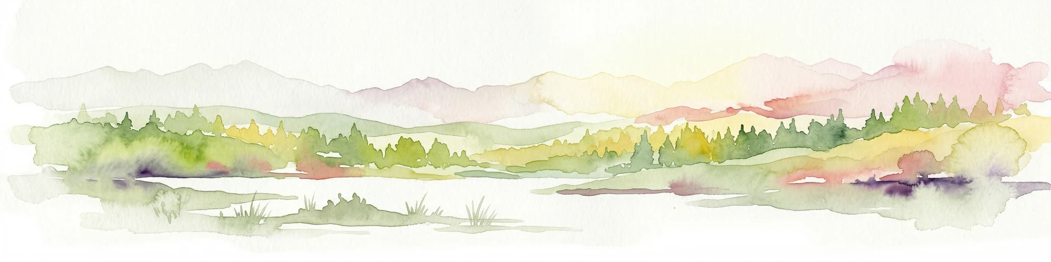
Watercolor illustration of a forest landscape with pink flowers, green trees, and a yellow sky
National parkÖrebro County
About 194 km away#5 closest

West

Garphyttan National Park: Pioneer Protected Landscape and Historic Swedish Terrain

Explore meadows, forests, and historic geography in Örebro County.

Garphyttan National Park, established in 1909, is a testament to early Swedish nature conservation efforts. This protected landscape features rolling forested terrain and distinctive flower-rich meadows, maintained through traditional practices that highlight Sweden's cultural heritage. Located within Örebro County, the park offers valuable insights into regional geography and the formation of mapped protected areas, making it a key destination for understanding historical landscape preservation.

Area
1.11 km²
Established
1909
IUCN
II
Relief
Lowland
Watercolor painting showing a landscape with a body of water, rolling hills, and distant mountains under a soft sky
Marine protected areaSaare County
About 213 km away#6 closest

East

Vilsandi National Park: Marine Protected Area Atlas and Archipelago Geography

Explore the protected landscape of Western Saaremaa's coast.

Vilsandi National Park is an integral part of Saare County's protected lands, recognized as a significant marine protected area. This page offers an atlas-style exploration of its geography, focusing on the distinctive archipelago terrain, coastal formations along Saaremaa's western edge, and its vital importance as a stopover for migratory birds. Understand the park's mapped boundaries and its place within the broader Baltic Sea ecosystem through detailed geographic context.

Area
241 km²
Established
1957
IUCN
II
Relief
Lowland
Watercolor illustration of a forest landscape with rocks, trees, and distant hills
National parkSweden
About 215 km away#7 closest

West

Tiveden National Park: Sweden's Protected Granite Landscape and Ancient Forest

Explore protected wilderness, fracture valleys, and geological heritage.

Tiveden National Park is a protected area in southern Sweden renowned for its ancient forests and rugged granite landscape. The park's terrain features deep fracture valleys, formed by ancient geological events, and stands as one of the last large remnants of older forest in the region. Discover the park's unique topography, mapped boundaries, and its significance as a protected natural landscape for atlas-based exploration.

Area
20.3 km²
Established
1983
IUCN
II
Relief
Mixed relief
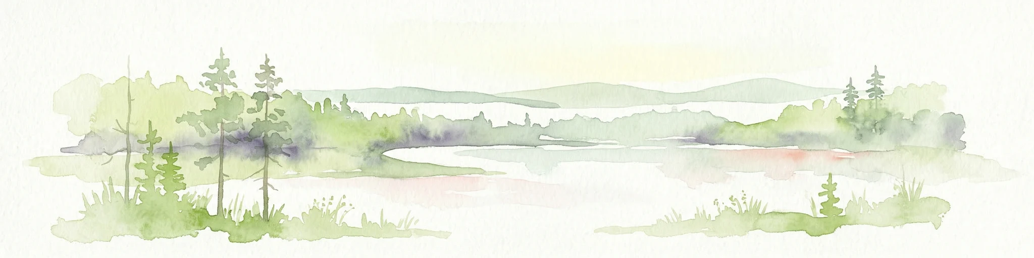
Watercolor illustration of a lake surrounded by trees and hills
National parkKalmar County
About 223 km away#8 closest

Southwest

Norra Kvill National Park: Ancient Coniferous Forest Protected Landscape in Kalmar County

Discover its unique mapped terrain and natural forest heritage.

Norra Kvill National Park safeguards a remarkable old-growth coniferous forest ecosystem, a rarity in southern Sweden. This park is characterized by ancient pines, some dating back over 350 years, thriving on steep fault-formed terrain and amid boulder fields. Its protected status ensures the preservation of this unique natural landscape, providing invaluable insight into forest ecology and regional geography within Kalmar County. MoriAtlas offers a structured approach to understanding its mapped boundaries and ecological significance.

Area
1.14 km²
Established
1927
IUCN
II
Relief
Highland
Watercolor illustration of a mountain range with trees and a winding path
National parkSweden
About 232 km away#9 closest

Southwest

Blå Jungfrun National Park: Baltic Sea Island National Park with Blue Granite Cliffs

Explore its mapped boundaries and distinct coastal terrain.

Blå Jungfrun National Park is a distinctive Swedish national park situated on a Baltic Sea island, immediately recognizable by its prominent blue-hued granite cliffs. As a protected landscape, it offers a unique glimpse into island ecosystems and rugged coastal geography. MoriAtlas provides detailed context for its mapped boundaries, showcasing the natural and geological significance of this solitary protected area within the regional atlas.

IUCN
II
Relief
Mixed relief
Access
Moderate access
Scope
Mixed
National parkSouthwest Finland
About 255 km away#10 closest

Northeast

Bothnian Sea National Park: Southwest Finland's Coastal Protected Landscape

Mapped geography and regional protected area context.

Bothnian Sea National Park stands as a significant protected landscape situated within the extensive island formations of Southwest Finland's Archipelago Sea. This page provides an atlas-focused view of the national park, detailing its geographic spread, mapped boundaries, and its place within the regional context of Varsinais-Suomi. Understand the protected area's unique coastal identity and its contribution to the mapped natural terrain of southern Finland, facilitating structured discovery and geographic exploration.

Area
917 km²
Established
2011
IUCN
II
Visitors
79.4K annual
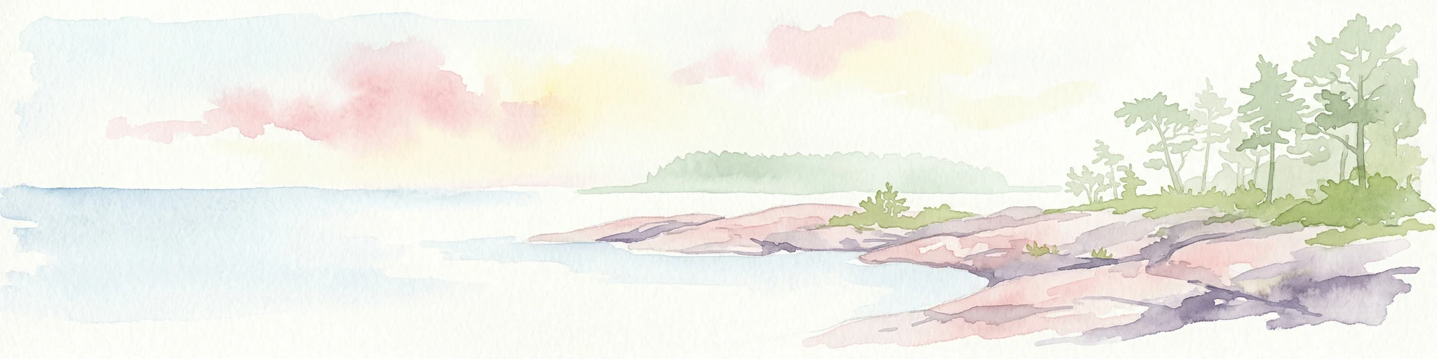
Watercolor painting of a coastal landscape featuring rocky shore, trees, and distant island under pink and blue sky
National parkVästra Götaland County
About 277 km away#11 closest

West

Djurö National Park: Sweden's Lake Archipelago National Park in Västra Götaland County

Mapped island geography and protected aquatic landscapes.

Djurö National Park stands as a singular example of Sweden's protected natural areas, characterized by its unique position as a national park comprising a complete archipelago within Lake Vänern. This page focuses on the geographic identity of Djurö National Park, detailing its island distribution, protected land status, and the distinct landscape it preserves. Users will find context for its place within Västra Götaland County, facilitating an atlas-based understanding of this exceptional aquatic environment and its mapped boundaries.

Area
24 km²
Established
1991
IUCN
II
Relief
Mixed relief
Watercolor painting showing green hills, trees, and a stream in a landscape
National parkSouthwest Finland
About 281 km away#12 closest

Northeast

Kurjenrahka National Park: Southwest Finland's Protected Landscape Atlas Entry

Discover geographic context and park boundaries.

Delve into Kurjenrahka National Park, a designated national park situated in Southwest Finland. This page provides an atlas-focused view of the park, detailing its protected landscape identity, mapped terrain, and its specific geographic location within the broader Finnish region. Understand the park's ecological context and its significance as a key protected area for regional geographic exploration.

Area
29 km²
Established
1998
IUCN
II
Visitors
66.8K annual
Watercolor illustration of a river flowing through a forested landscape with mountains in the background
National parkLatvia
About 284 km away#13 closest

Southeast

Slītere National Park: Latvia's Protected Coastal Landscape with Blue Hills and Bird Flyways

Explore the unique terrain and protected geography of this Baltic national park.

Slītere National Park represents a distinctive protected landscape on Latvia's Courland Peninsula, celebrated for its ancient geological formations like the Blue Hills (Zilie Kalni) and its role as a crucial bird migration corridor. The park's geography encompasses varied dune systems, wetland habitats, and rich broadleaf forests, offering a unique mapped environment. Discover the park's protected area boundaries and its significance within the regional Baltic geography, highlighting its unique ecosystem features and landscape context.

Area
164.14 km²
Established
2000
IUCN
II
Relief
Mixed relief
Watercolor landscape with rolling hills, trees, and pastel sky
National parkSouthwest Finland
About 287 km away#14 closest

Northeast

Teijo National Park: Mapped Boundaries of a Protected National Park in Southwest Finland

Explore the geographic context and protected landscape of Teijo National Park.

Teijo National Park is a designated national park within Southwest Finland, offering a distinct protected landscape for atlas exploration. This entry focuses on its geographic identity, mapped park boundaries, and its place within the broader regional geography. Discover the structured details of Teijo National Park as a key protected area, providing valuable context for understanding natural landscapes and conservation efforts in Finland.

Area
34 km²
Established
2015
IUCN
II
Visitors
92.1K annual
Watercolor illustration showing a wetland landscape with grassy fields, a river, and trees in the background
National parkLääne County
About 292 km away#15 closest

East

Matsalu National Park: Explore Estonia's Premier Wetland National Park Geography and Protected Area

Discover mapped landscapes and bird migration routes in Lääne County.

Matsalu National Park, located in Lääne County, Estonia, is a prime example of a protected wetland ecosystem of international significance. This page delves into the park's unique geographic features, including the shallow brackish Matsalu Bay, the expansive Kasari River delta, and the numerous islands that form its coastal mosaic. Users can explore the park's protected boundaries and understand its critical function as a major staging area for migratory birds, offering a detailed atlas-level view of this important natural landscape.

Area
486.1 km²
Established
1957
IUCN
II
Relief
Lowland
National parkUusimaa
About 300 km away#16 closest

East

Ekenäs Archipelago National Park: Mapped Baltic Sea Archipelago Landscape

Protected marine area with island geography in Uusimaa, Finland.

Delve into the unique protected landscape of Ekenäs Archipelago National Park, a premier example of a Baltic Sea marine protected area. Located in the Uusimaa region, this national park encompasses a vast expanse of coastal waters dotted with hundreds of rocky islets and skerries. MoriAtlas provides detailed geographic context, allowing for exploration of its mapped boundaries, island formations, and critical role as a sanctuary for breeding aquatic birds. Understand its place within Finland's protected areas atlas and appreciate its distinctive marine archipelago character.

Area
52 km²
Established
1989
IUCN
II
Visitors
53.6K annual
National parkPirkanmaa
About 324 km away#17 closest

Northeast

Puurijärvi-Isosuo National Park: Protected Landscape Discovery in Pirkanmaa Region

Explore mapped protected areas and regional geography.

Puurijärvi-Isosuo National Park is a significant protected area in Finland's Pirkanmaa region. This entry provides detailed geographic context and maps the park's boundaries, offering a focused perspective for atlas-driven discovery of Finnish natural landscapes. Understand its place within the regional geography and the wider network of protected lands.

Area
27 km²
Established
1993
IUCN
II
Visitors
19.8K annual
Watercolor painting of a landscape featuring mountains, wetland, and forest
National parkJönköping County
About 324 km away#18 closest

Southwest

Store Mosse National Park: Explore Sweden's Largest Bog Landscape & Protected Area

Detailed park map, geography, and peatland ecosystem context.

Delve into Store Mosse National Park, a significant protected landscape in Jönköping County, Sweden, celebrated for its vast peat bog, the largest south of Lapland. This page provides detailed geographic context, mapping its unique wetland terrain, interspersed lakes like Kävsjön, and surrounding pine forests. Understand the park's ecological importance as a Ramsar site and its place within the South Småland peneplain for structured natural area discovery.

Area
78.5 km²
Established
1982
IUCN
II
Relief
Lowland
Watercolor illustration of a landscape featuring a body of water, trees, and distant mountains
National parkKanta-Häme
About 339 km away#19 closest

Northeast

Torronsuo National Park: Explore Finland's Exceptional Raised Bog Ecosystem and Kanta-Häme Geography

Discover mapped peatlands, unique birdlife, and protected boreal wilderness.

Torronsuo National Park stands as a testament to Finland's remarkable wetland conservation efforts, presenting a striking example of a raised bog ecosystem. Located within the Kanta-Häme region, this national park is celebrated for its vast, domed peat landscape, some of the thickest peat layers ever measured in Finland, and its status as a Ramsar-designated wetland. The park's protected status ensures the preservation of its unique natural terrain, which supports a rich diversity of northern bird species and specialized bog flora, making it a significant area for ecological and geographic exploration.

Area
25.5 km²
Established
1990
IUCN
II
Visitors
58.6K annual
Watercolor illustration of a lake surrounded by trees and distant hills with a soft sky
National parkGävleborg County
About 340 km away#20 closest

Northwest

Hamra National Park: Ancient Forests, Mires, and Protected Landscape in Gävleborg County

Discover pristine Swedish nature and mapped park boundaries.

Hamra National Park in Gävleborg County, Sweden, protects an extraordinary natural landscape. At its heart lies a distinct moraine hill adorned with some of central Sweden's oldest coniferous trees, some reaching 400 years. Surrounding this ancient forest is a vast, unbroken expanse of mire and wetland, a landscape preserved from drainage and modification. This park offers a profound insight into pristine ecosystems and geographic context, making it a key destination for atlas exploration of protected natural areas.

Area
13.83 km²
Established
1909
IUCN
II
Relief
Lowland
Distance methodology

Geographic measurements, not driving distances

How nearby park distances are calculated

Distances use park boundaries whenever the available geometry allows it. When one or both boundaries are missing, the mapped park locations provide a clearly labelled estimate. Every value represents straight-line geographic separation and does not use roads or routing.

Boundary distance

Calculated between the nearest points of both park boundaries.

Location-to-boundary estimate

Estimated from one mapped park location to the nearest boundary of the other park.

Mapped-location estimate

Estimated between the mapped locations of both parks.

MoriAtlas Explorer

Continue Exploring Tyresta National Park's Geographic and Protected Landscape Context

Delve deeper into the structured geographic information and mapped protected area details for Tyresta National Park. Understanding its unique rift valley setting and ancient forest ecosystems provides valuable context for regional landscape discovery. Continue your exploration on MoriAtlas to trace the park's boundaries and its place within Sweden's protected lands atlas.