
National parkSerbiaMountain

Đerdap National Park
Explore Serbia's largest national park along the Danube River.
Đerdap National Park, in Serbia. Landscapes: mountains, valleys, and cliffs.
637.87 km²1974TemperateModerate access

Browse the full distribution of mapped natural landscapes and protected regions across Serbia.
Browse profiles of parks and protected areas in Serbia, including Đerdap and Tara.
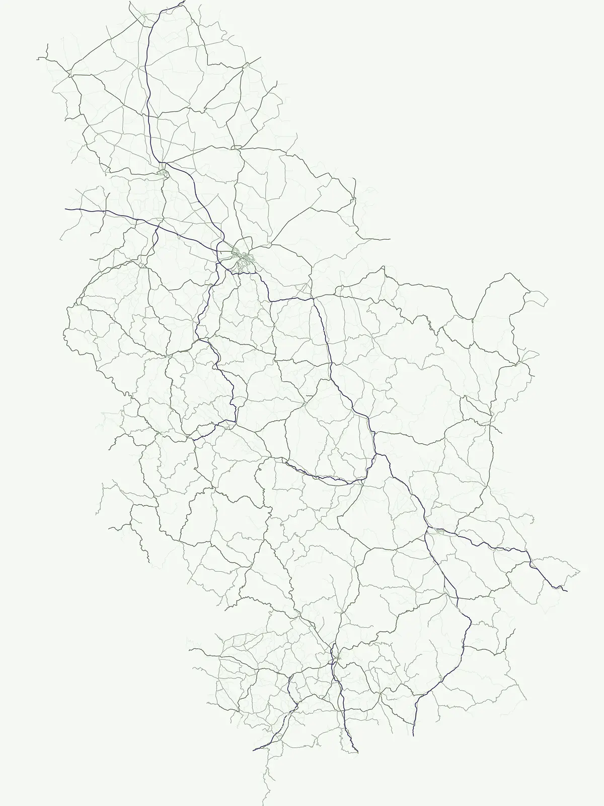
Trace the full geographic spread of Serbia's national parks, nature reserves, and key protected landscapes.
Browse a comprehensive list of Serbia's national parks, nature reserves, and other protected areas, discovering a wide array of conservation landscapes across the country. This country-wide index provides essential geographic context, allowing you to trace the distribution of Serbia's natural heritage and plan deeper park exploration.
Trace the full geographic spread of Serbia's national parks, nature reserves, and key protected landscapes.
Browse a comprehensive list of Serbia's national parks, nature reserves, and other protected areas, discovering a wide array of conservation landscapes across the country. This country-wide index provides essential geographic context, allowing you to trace the distribution of Serbia's natural heritage and plan deeper park exploration.
Showing 1 to 16 of 16 parks
Explore Serbia's largest national park along the Danube River.
Đerdap National Park, in Serbia. Landscapes: mountains, valleys, and cliffs.

Discover Serbia's iconic protected mountain landscape and its unique botanical heritage.
Tara National Park is a significant protected area in Serbia, celebrated for its exceptional botanical value and dramatic mountainous terrain. It is the last refuge for Pančić's spruce, a living fossil conifer, and hosts a remarkable diversity of Balkan flora. The park's landscape is defined by steep limestone cliffs, deep river valleys like the Drina canyon, and expansive forest ecosystems, offering a unique geographic study of protected lands. Explore its mapped features and discover a vital conservation area within the Dinaric Alps.

Discover Dinaric Alps protected terrain and landscape context.
Zlatibor Protected Landscape offers a distinct exploration of mountainous terrain and protected natural areas in Serbia. Situated in the Dinaric Alps, its landscape is defined by rolling upland plateaus, dense coniferous forests, and open alpine meadows, creating a visually rich environment. The park's geography includes notable karst features and extensive cave systems, complemented by the natural boundaries of significant rivers. Delve into the mapped protected area to understand its landscape character, from the highest peak at Tornik to the unique geological formations and the rare endemic pine subspecies, providing a concrete geographic perspective for atlas-based discovery.

Explore Balkan biodiversity and unique geographic terrain.
MoriAtlas presents Kopaonik National Park, a key protected area celebrated for its extraordinary endemic plant species and its distinctive mountainous geography. This national park safeguards a significant biodiversity hotspot within the Balkans, characterized by a prominent mountain plateau and peaks exceeding 2,000 meters. Discover the park's varied terrain, from forested slopes to subalpine meadows, and understand its role in regional natural landscapes. Utilize our map-based exploration tools to grasp Kopaonik National Park's protected boundaries and its unique place in geographic context.

Discover unique island mountain geography and Serbian Orthodox heritage.
Investigate Fruška Gora National Park, an extraordinary protected landscape rising from the Pannonian Plain. This national park is celebrated for its ancient forests, significant paleontological sites with fossils spanning millions of years, and an exceptional density of 17 historic Serbian Orthodox monasteries. MoriAtlas provides essential geographic context and mapped boundaries for understanding this unique island mountain within its regional context, ideal for structured atlas exploration.

Mapped protected landscape and regional geography discovery
Stara Planina National Park is a newly established national park in eastern Serbia, notable for its extensive mountain terrain and designation within the Balkan Mountains. This protected area features the distinctive Kopren plateau, Tupavica waterfall, and rugged landmarks, all contributing to its unique geographic identity. MoriAtlas provides a structured atlas view of Stara Planina National Park, detailing its protected boundaries and landscape context for comprehensive discovery.

Explore Avala's mapped terrain and natural monument significance.
Avala Natural Monument offers a unique protected landscape and significant geographic context for the Belgrade metropolitan area. As one of Serbia's oldest protected natural sites, its distinct mountain terrain, geological composition, and panoramic views provide a rich subject for atlas-based discovery. Explore the mapped boundaries and natural features that define this prominent Serbian natural monument.

Explore the mapped terrain and protected wetland landscape.
Delve into the geographic specificity of Veliko Ratno Ostrvo, a nature reserve defined by its river island location on the Danube near Belgrade. This page offers an atlas-style view of the protected area, detailing its mapped boundaries and landscape context within Serbia. Understand Veliko Ratno Ostrvo as a key protected natural asset for regional geographic discovery.

Understand the protected landscape and park boundaries of Lake Palić.
Delve into the specifics of Lake Palić, a designated protected area in Serbia. This resource offers a deep dive into the park's mapped landscape, helping to illustrate its protected boundaries and geographic significance. Gain a clear understanding of its regional context and its contribution to the atlas of protected natural areas within Serbia.

Explore distinct geological formations and rich avian habitats.
The Vršac Mountains Protected Landscape offers a unique geographic perspective as one of Serbia's Pannonian island mountains, emerging dramatically from the surrounding plains. This protected area is recognized for its striking gneiss and schist formations, its status as Vojvodina's highest elevation, and its exceptional importance for birdwatching, hosting over 120 species. Delve into the mapped terrain and geological character that distinguish this vital natural region.

Mapped terrain, historic monasteries, and biodiversity near Belgrade.
Kosmaj, a unique protected landscape and island mountain, presents a compelling study in regional geography and mapped terrain for atlas enthusiasts. Rising prominently near Belgrade, its landscape is characterized by dense deciduous forests of beech and oak blanketing its steeper slopes, along with distinct peaks like Mali Vis and Goli Vis. This area serves as a vital watershed source and boasts significant biodiversity, offering a rich context for understanding Serbia's natural and historic environments through structured geographic data and map exploration.

Mapping the unique limestone cliffs and river valley terrain.
Delve into the atlas details of Sićevo Gorge, a protected landscape in Serbia defined by its spectacular limestone cliffs and the Nišava River canyon. This page provides a structured overview of its dramatic topography, intricate karst formations, and the regional geographic context. Understand the mapped boundaries and the unique geological character that makes this gorge a standout feature in Serbia's natural landscape.

Explore karst terrain, monastery sites, and mapped river meanders.
Ovčar-Kablar Gorge is a protected landscape in Serbia renowned for its dramatic karst geology and the West Morava river's pronounced meanders. This area offers a unique atlas perspective, highlighting over a dozen historic Serbian Orthodox monasteries nestled within the dramatic canyon setting. The protected landscape reveals a confluence of significant natural features, including karst cliffs and thermal springs, alongside centuries of spiritual heritage, making it a distinct point for geographic discovery and understanding Serbia's mapped natural and cultural resources.

Explore the geography and protected landscape of Jegrička Nature Park.
Jegrička Nature Park is a designated protected area recognized for its significant riverine wetland character within the Pannonian Plain of northern Serbia. The park's landscape is defined by the meandering Jegrička river, extensive marshlands, and riparian vegetation, serving as crucial freshwater habitat for diverse waterfowl and migratory bird populations. This page offers detailed geographic context and atlas-level exploration of its protected boundaries and ecological importance within Eastern Europe's broader natural heritage.

Discover its mountain lake ecosystem and mapped natural landscape.
Vlasina Ramsar Wetland is a critical protected area in Serbia, notable for its high-altitude mountain lake and river ecosystem within the Rhodopian Mountains. This page details its mapped geographic boundaries, unique terrain, and protected landscape identity, offering users a focused atlas exploration of a significant natural site. Delve into the specific geography and conservation context that define this internationally recognized wetland.

Explore unique Pannonian Plain geography and rare habitats.
Subotička Peščara Protected Landscape offers a deep dive into an exceptional inland dune ecosystem, a key feature of Serbia's Pannonian Plain geography. This protected area's mapped terrain includes a mosaic of forest, steppe, and wetland habitats, supporting rare flora and fauna. Discover the unique contours of this aeolian landscape and its significance within the regional geographic context.
Compare regional protected landscapes and expand your atlas view across countries neighboring Serbia.

Parks and protected areas in Romania, including Danube Delta and Retezat.

Parks and protected areas in Albania, including Butrint and Primeval Beech Forests of the Carpathians and Other Regions of Europe.

Parks and protected areas in Croatia, including Plitvice Lakes and Paklenica.

Parks and protected areas in Hungary, including Hortobágy and Aggtelek.

Parks and protected areas in Slovenia, including TNP and Škocjan Caves.

Parks and protected areas in Bosnia and Herzegovina, including Sutjeska and Una.

Parks and protected areas in North Macedonia, including Lake Ohrid and Mavrovo.

Parks and protected areas in Bulgaria, including Pirin and Central Balkan.
Protected area types
To deepen your understanding of Serbia's conservation strategy, continue exploring the specific details for each represented designation type. This route allows for a classification-focused approach to discovering the nation's protected lands, providing insights into their geographic distribution and landscape context within the broader Serbian geography. Understand how these distinct categories contribute to the country's protected area network.
Narrow your search for parks in Serbia by environmental characteristics.