Mori Atlas logo
Nearby park discovery

Mapping the surrounding geographic landscape and nearby conservation land corridors

Regional Protected Areas and National Parks Near Bwabwata National Park in Namibia

Explore the regional geography and distribution of protected areas surrounding Bwabwata National Park. This geographic overview identifies neighboring conservation landscapes and maps the spatial relationship between nearby protected lands within the Zambezi Region and beyond.

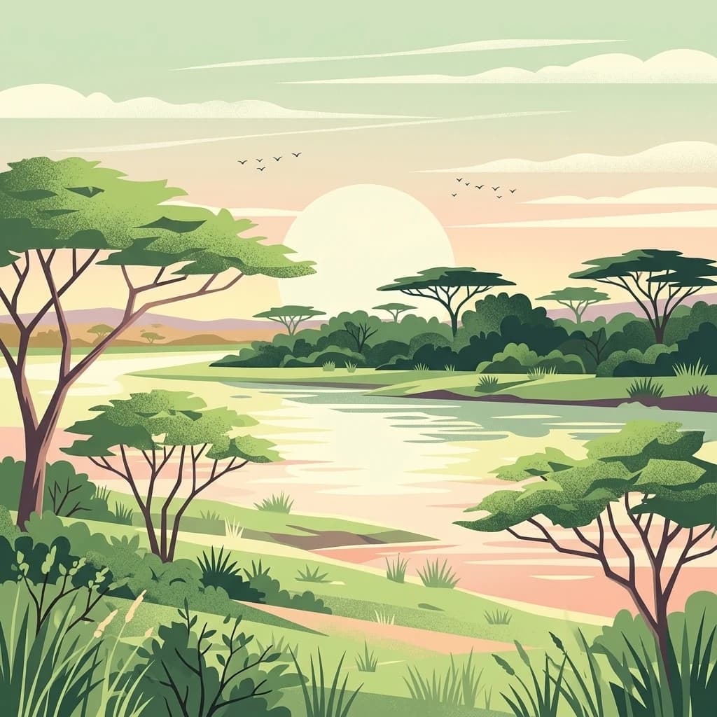
A stylized digital illustration of an African savanna landscape with acacia trees flanking a wide, calm river at sunset.

Transboundary conservation corridor in Namibia's Caprivi Strip with community-based wildlife management

Bwabwata National Park

Bwabwata National Park is a protected area in northeastern Namibia established in 2007 through the merger of Caprivi Game Park and Mahango Game Park. The park covers 6,274 square kilometers and extends along the Caprivi Strip, a narrow panhandle of land bordered by Angola to the north and Botswana to the south. It is situated in the Zambezi and Kavango East regions, with the Okavango River marking its western boundary and the Kwando River its eastern edge. The park occupies a critical position within the Kavango-Zambezi Transfrontier Conservation Area, forming a vital corridor for wildlife movement between Angola, Botswana, Namibia and Zambia. Notably, Bwabwata is unusual among African protected areas in that approximately 5,500 people reside within its boundaries, and the Namibian government has adopted an integrated management approach that involves park residents and neighboring communities in planning and conservation efforts.

Location
Namibia
Park type
National park
Established
2007
Area
6,274 km²
Bwabwata National Park National Park
Regional park map

See the ranked park cluster in its geographic setting

Nearby parks around Bwabwata National Park

This regional map shows the same 20 nearby parks ranked below around Bwabwata National Park. Select a ranked marker to highlight that park’s boundary where boundary data is available.
Reference park: Bwabwata National ParkRanked nearby parkSelected boundary: Bwabwata National Park20 nearby parks shown
20 nearby parks

Distance ranked regional park geography and surrounding landscape comparison

Parks and Protected Areas Geographically Near Bwabwata National Park

Examine the ranked collection of nearby protected areas structured by direct geographic separation from Bwabwata National Park. Each listed entry provides valuable country context and environmental characteristics for analyzing broader regional conservation patterns.
National parkAngola
Park boundaries overlap#1 closest

Northwest

Luengue-Luiana National Park: Angola's Premier Protected Woodland and Floodplain Ecosystem

Mapping crucial habitats for large mammals and avian wildlife.

Luengue-Luiana National Park is a vital protected landscape in southeastern Angola, covering an immense area that transitions from open woodland ecosystems to vast, seasonal floodplain grasslands. As a cornerstone of the Kavango-Zambezi Transfrontier Conservation Area, it facilitates critical wildlife movements and supports significant populations of large mammals. Its geography provides essential habitat, particularly within the extensive wetland wilderness and riparian zones along the Cuando River, making it a significant site for regional biodiversity and atlas exploration.

Area
42,000 km²
Established
2011
IUCN
II
Relief
Lowland
A stylized flat illustration of a wide waterfall cascading over rocky ledges into a river, surrounded by trees and savanna vegetation under a warm sunset sky.
National parkZambia
2.5 km away#2 closest

Northeast

Sioma Ngwezi National Park: Zambia's National Park, Mapped Protected Landscape Explorer

Discover the geographic context and protected area boundaries of Sioma Ngwezi National Park.

Sioma Ngwezi National Park is a key protected area within Zambia, offering significant opportunities for geographic discovery. This national park's mapped boundaries define a significant natural landscape, providing crucial context for regional atlas exploration. Users can explore the park's specific identity as a conservation territory and understand its placement within Zambia's diverse terrain. The focus here is on the park's structured geographic data and its role in mapping protected lands across Southern Africa.

Area
5,000 km²
Relief
Lowland
Climate
Subtropical
Access
Remote access
National parkCaprivi Region
About 34 km away#3 closest

East

Mudumu National Park National Park: Discover its Protected Landscape and Geographic Boundaries

Mapping the protected area and regional landscape context in Caprivi Region.

Navigate the protected geography of Mudumu National Park, a designated national park situated within the Caprivi Region. This entry provides a structured atlas view of its mapped boundaries and landscape context. Gain a clear understanding of its protected status and its place within the regional geographic framework, offering essential detail for map-based exploration of natural areas in Namibia.

Area
737 km²
Established
1990
Relief
Lowland
Climate
Tropical
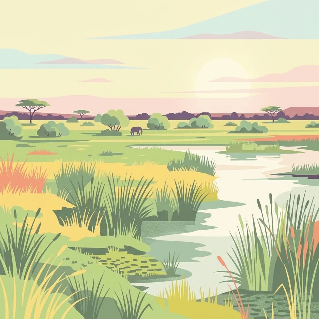
A flat-style digital illustration of an African wetland savanna, featuring a winding river, tall grasses, scattered acacia trees, and a lone elephant in the distance under a soft, golden sky.
National parkNamibia
About 58 km away#4 closest

Southeast

Nkasa Rupara National Park: A Protected Landscape within Namibia's Geography

Explore the mapped protected area and its regional landscape context.

Nkasa Rupara National Park represents a distinct protected landscape within Namibia. This entry provides detailed geographic context, focusing on the park's mapped boundaries and its role as a national park. Understand how this protected area contributes to the broader regional geography, offering a focal point for atlas-based exploration of Namibia's natural lands.

Area
320 km²
Established
1990
IUCN
II
Relief
Lowland
National parkNamibia
59 km away#5 closest

Southwest

Khaudum National Park: Namibia's Remote Kalahari Protected Landscape and Predatory Wildlife

Explore mapped boundaries and seasonal river ecosystems.

Khaudum National Park is a substantial protected landscape in northeastern Namibia, deep within the Kalahari Desert. This remote national park encompasses over 3,800 square kilometers of dry forest and acacia woodland, dissected by three major Omuramba dry river systems. It is globally recognized for its thriving populations of large predators like lions and spotted hyenas, alongside significant numbers of elephants and giraffes. The park's unique semi-arid terrain and biodiversity make it a key destination for understanding regional protected-area geography and landscape context.

Area
3,842 km²
IUCN
II
Relief
Lowland
Climate
Arid
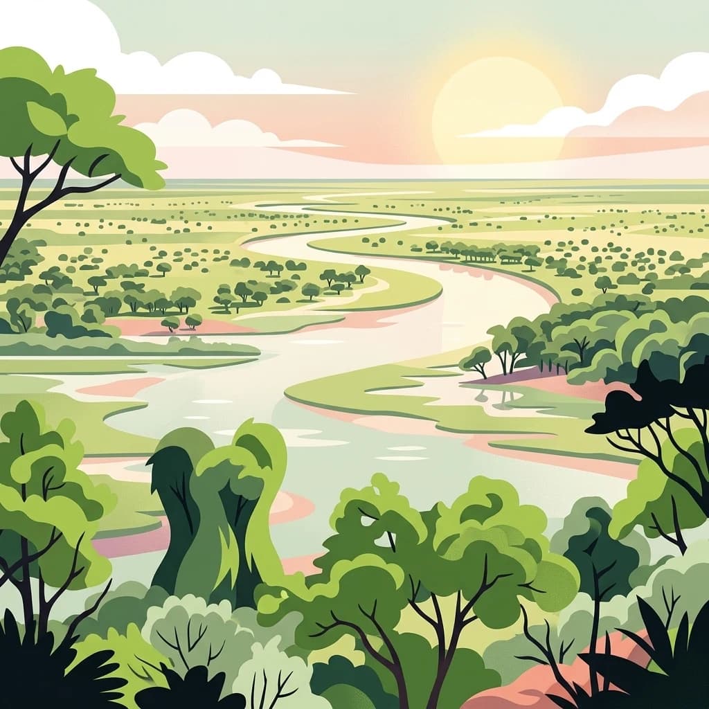
An illustrative style digital artwork showing a winding river through a savanna landscape with trees and a setting sun in the background.
National parkBotswana
69 km away#6 closest

East

Chobe National Park

Discover Botswana's diverse protected areas and unique savanna wetlands.

Chobe National Park, in Botswana. Landscapes: wetlands, forests, and woodlands.

Area
11,700 km²
Established
1967
IUCN
II
Relief
Mixed relief
National parkAngola
118 km away#7 closest

Northwest

Mavinga National Park: Protected Landscape Identity and Geographic Mapping in Angola

Explore mapped boundaries and regional context of this national park.

Mavinga National Park stands as a designated protected area within Angola, offering insights into the nation's natural landscapes and conservation efforts. This entry details the park's geographic footprint and its role as a national park. It provides users with essential map-based discovery tools to understand the park's setting, its physical geography, and its significance as a protected natural landscape in southern Africa.

Area
46,076 km²
Established
2011
IUCN
II
Relief
Lowland
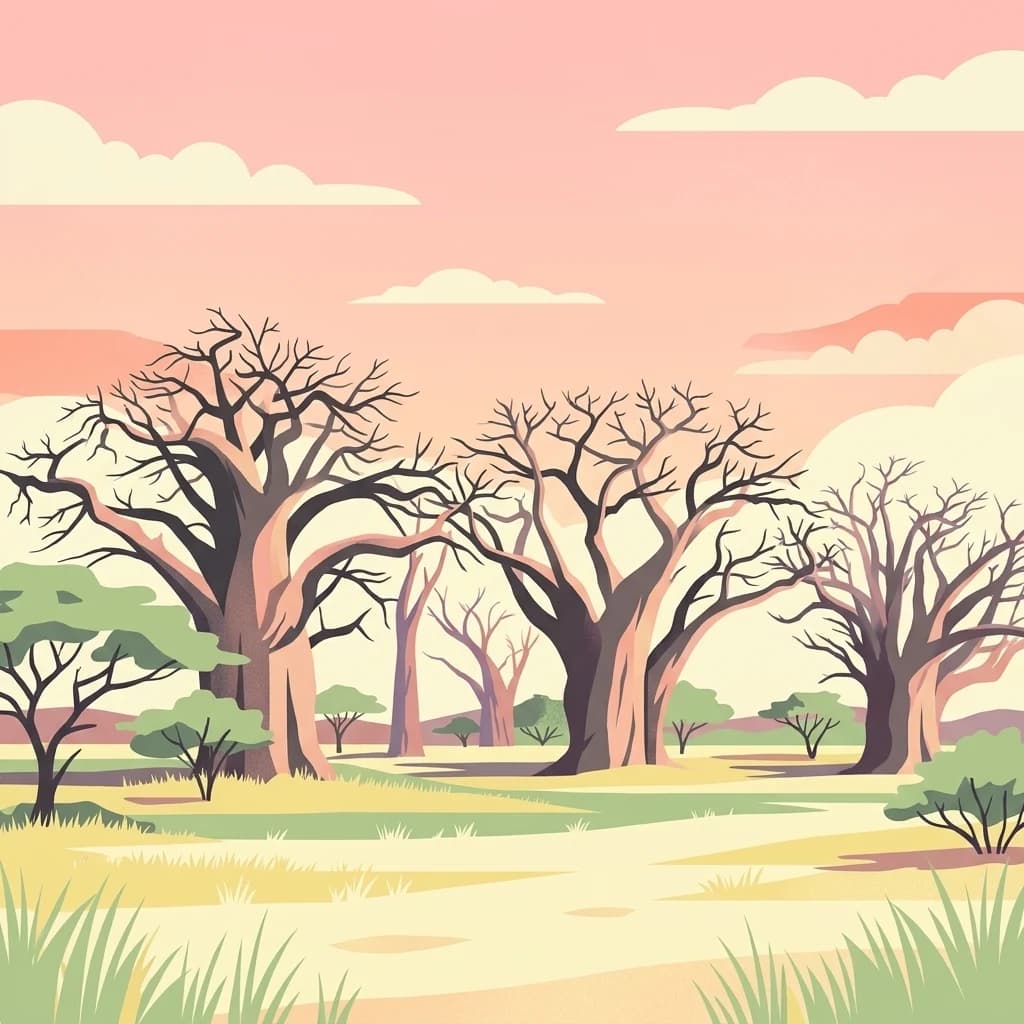
A flat-style digital illustration of several thick-trunked baobab trees with leafless branches standing in a savanna landscape under a soft pink sunset sky.
National parkBotswana
234 km away#8 closest

Southeast

Nxai Pan National Park: Botswana's Iconic Baobab Forests and Salt Pan Landscape

Explore mapped boundaries and unique regional geography.

Nxai Pan National Park offers a compelling glimpse into Botswana's unique semi-arid ecosystems, characterized by the expansive, salt-crusted Nxai Pan itself and the iconic Baines Baobabs dotting its edges. As a protected national park, it represents a significant conservation landscape within the Kalahari Desert region. Understanding its geography involves appreciating the stark visual contrasts, seasonal wetland transformations, and the vast openness of the salt pan environment.

Area
2,578 km²
Established
1992
IUCN
Ib
Relief
Lowland
National parkHwange District
About 237 km away#9 closest

East

Zambezi National Park: National Park within Hwange District's Geographic Landscape

Explore mapped boundaries and protected area context.

Delve into Zambezi National Park, a designated national park situated in Hwange District. This entry provides foundational geographic and landscape context, highlighting the park's protected status and its position within the regional terrain. Understand the atlas significance and mapped features of this conservation landscape for informed discovery.

Area
560 km²
Established
1979
Relief
Lowland
Climate
Subtropical
National parkAngola
About 240 km away#10 closest

Northwest

Longa-Mavinga National Park: Detailed Atlas and Protected Landscape Context in Angola

Explore its mapped boundaries and regional geographic significance.

Longa-Mavinga National Park serves as a crucial point for understanding protected areas and natural landscapes within Angola. This page details its identity as a national park, focusing on its mapped geographic features and protected land status. Users can delve into the specific landscape context and regional distribution of this significant protected area, enhancing their grasp of Angola's natural geography.

IUCN
II
National parkNamibia
About 254 km away#11 closest

West

Mangetti National Park: Protected Landscape and Geographic Atlas in Namibia

Explore mapped boundaries within Namibia's arid terrain.

Mangetti National Park serves as a crucial protected area, offering insights into Namibia's unique geography and conservation landscapes. Delve into the mapped extent of this national park, understanding its specific location and its contribution to the atlas of protected lands in southern Africa. Examine its geographic character and the context it provides for appreciating the country's natural heritage.

Area
420 km²
Established
2008
IUCN
II
Relief
Lowland
National parkZimbabwe
About 255 km away#12 closest

East

Kazuma Pan National Park: Zimbabwe National Park Atlas and Protected Landscape Exploration

Unique plains landscape with reliable dry-season wildlife viewing.

Kazuma Pan National Park offers a rare glimpse into Zimbabwe's expansive grassy plains and vital pans, creating a unique protected landscape. This national park is critical for understanding regional wildlife migrations and the geographic context of conservation areas in northwestern Zimbabwe, providing an essential entry point for atlas-based exploration of its terrain and ecological significance.

Area
313 km²
Established
1975
IUCN
II
Relief
Lowland
A vibrant graphic illustration depicting a massive waterfall flowing over a cliff into a deep canyon with a rainbow arching across the mist. In the foreground, there is a stone-railed observation platform surrounded by trees and lush vegetation.
National parkZimbabwe
256 km away#13 closest

East

Victoria Falls National Park: A Protected Landscape Within Zimbabwe's Geography

Atlas exploration of park boundaries and natural terrain.

Victoria Falls National Park is a key component of Zimbabwe's protected natural areas. This page provides structured information ideal for atlas-based exploration, detailing the park's geographic position and mapped landscape features. Understand its significance as a national park and its contribution to the region's conservation geography.

Area
23.4 km²
IUCN
II
Relief
Mixed relief
Climate
Tropical
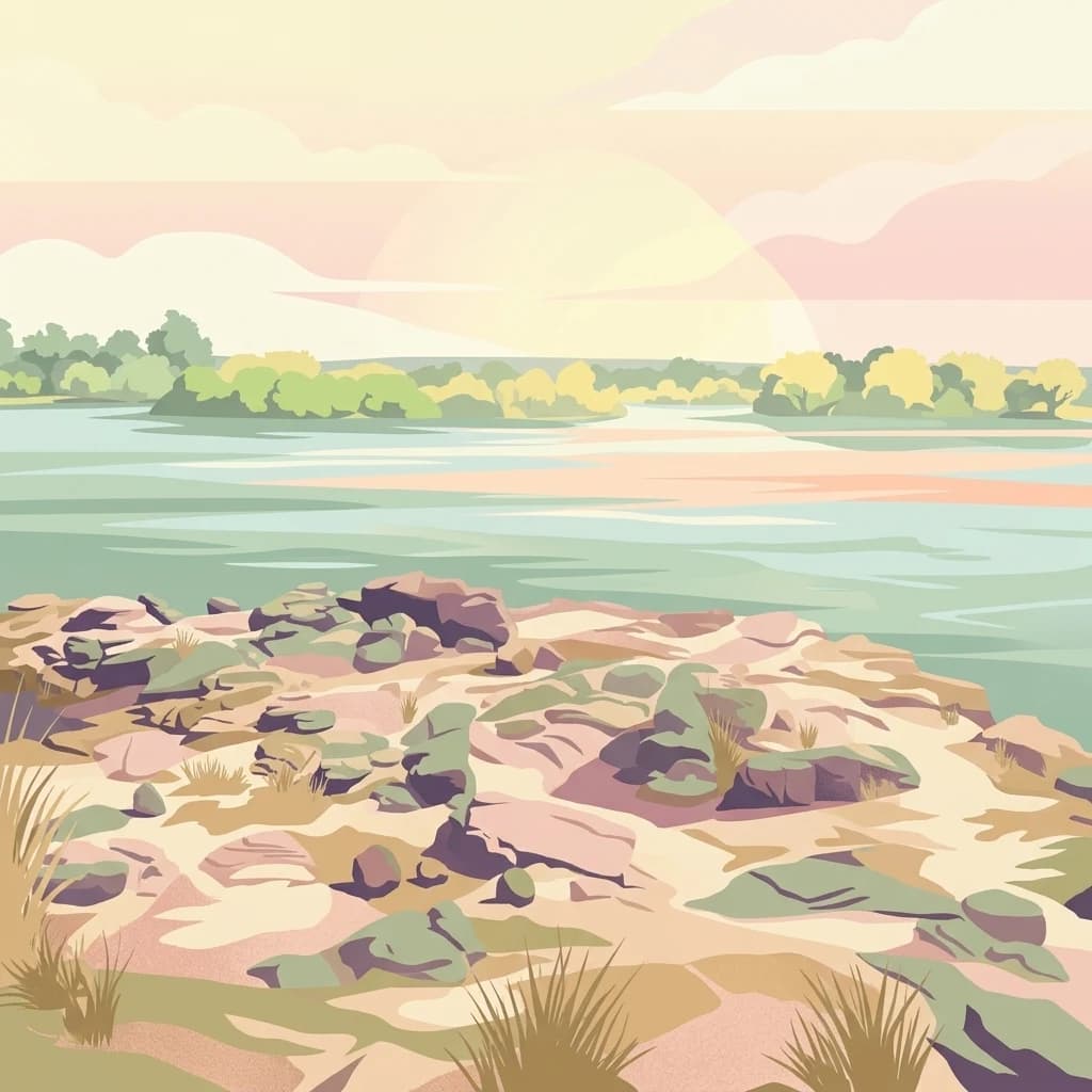
Digital illustration of a calm river scene at dawn or dusk, featuring rocky, grassy riverbanks in the foreground and a calm, wide river flowing toward a treelined horizon under a soft, pastel-colored sky.
National parkSouthern Province
About 258 km away#14 closest

East

Mosi-oa-Tunya National Park

Mapped boundaries and protected landscape context in Southern Province, Zambia.

Mosi-oa-Tunya National Park, in Southern Province, Zambia. Landscapes: forests, woodlands, and grasslands.

Area
66 km²
IUCN
II
Climate
Subtropical
Access
Easy access
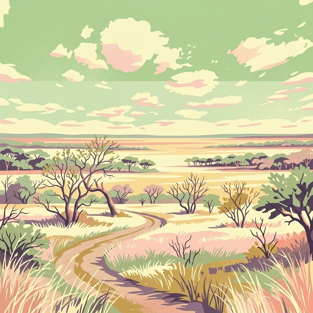
A stylized digital illustration of a winding dirt trail leading through a flat African savanna with scattered trees and tall grasses under a pastel-colored cloudy sky.
National parkZambia
269 km away#15 closest

Northeast

Kafue National Park: Zambia's Key National Park for Geographic and Protected Area Exploration

Mapped boundaries and landscape context in southern Africa.

Kafue National Park represents a vital component of Zambia's protected lands, offering a distinct perspective for atlas-driven geographic exploration. This national park's identity is tied to its extensive mapped boundaries and its contribution to the regional landscape of southern Africa. Users engaging with this entry can uncover the protected area's specific geographic context and map-based details, enhancing their understanding of conservation landscapes.

Area
22,400 km²
IUCN
II
Relief
Lowland
Climate
Tropical
National parkMatabeleland North
271 km away#16 closest

East

Hwange National Park

National Park with distinct geographic and landscape context.

Hwange National Park, in Matabeleland North, Zimbabwe. Landscapes: forests, woodlands, and grasslands.

Area
14,651 km²
Established
1961
IUCN
II
Relief
Lowland
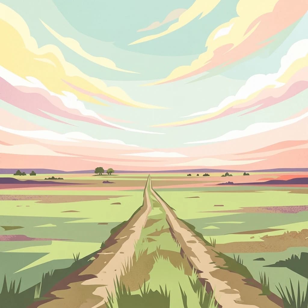
A stylized vector illustration of a dirt path extending into a flat, grassy plain under a soft, sunset-colored sky with layered clouds.
National parkWestern Province
315 km away#17 closest

North

Liuwa Plain National Park National Park: Mapped Protected Landscape Explorer

Explore regional geography and protected park boundaries.

Liuwa Plain National Park, designated as a national park in Zambia's Western Province, serves as a crucial point for understanding protected land distribution and regional geography. This dedicated page provides detailed insights into its mapped protected landscape, allowing for focused atlas-style exploration. Discover the park's role within the larger geographic context of Western Province and its significance as a conservation area through structured mapping and landscape analysis.

Area
3,369 km²
Established
1972
IUCN
II
Relief
Lowland
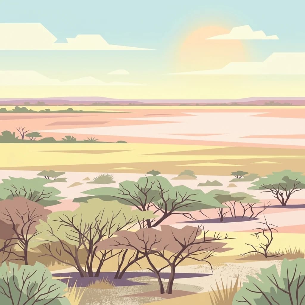
A flat digital illustration of an arid savanna landscape with sparse acacia trees and a wide, pale salt pan stretching toward a horizon under a soft, setting sun.
National parkBotswana
About 377 km away#18 closest

Southeast

Makgadikgadi Pans National Park: A Protected Landscape in Botswana's Geographic Atlas

Explore its mapped boundaries and regional natural terrain.

Makgadikgadi Pans National Park is a designated national park in Botswana, contributing significantly to the region's atlas of protected lands. This page details its geographic scope, emphasizing its role as a mapped natural landscape within Southern Africa. Explore the park's unique protected-area identity and understand its place within Botswana's diverse, largely Kalahari Desert-influenced terrain.

Relief
Lowland
Climate
Arid
Scope
Terrestrial
Water
Major water bodies
National parkZambia
440 km away#19 closest

Northeast

Lochinvar National Park: A Mapped Zambian Floodplain Protected Landscape

Explore its unique wetland geography and protected area boundaries.

Lochinvar National Park in Zambia is a vital protected landscape characterized by extensive floodplains and seasonal wetlands along the Kafue River. As a national park, it safeguards the unique ecosystem of the Kafue Flats, renowned for hosting massive herds of endemic Kafue lechwe and a remarkable diversity of bird species, exceeding 400 recorded. The park's terrain varies from open marshes and lagoons like Chunga Lagoon to drier woodlands dotted with termite mounds and low hills, providing a geographically rich environment for detailed atlas exploration and landscape context.

Area
428 km²
Established
1972
IUCN
II
Relief
Lowland
A digital illustration of an open, dry savanna landscape with scattered acacia trees and silhouettes of gazelles and zebras in the distance under a pastel sky.
National parkKunene Region
456 km away#20 closest

West

Etosha National Park

Discover its protected boundaries and geographic context.

Etosha National Park, in Kunene Region, Namibia. Landscapes: karst, deserts, and hills.

Area
22,270 km²
Established
1907
IUCN
II
Visitors
200K annual
Distance methodology

Geographic measurements, not driving distances

How nearby park distances are calculated

Distances use park boundaries whenever the available geometry allows it. When one or both boundaries are missing, the mapped park locations provide a clearly labelled estimate. Every value represents straight-line geographic separation and does not use roads or routing.

Boundary distance

Calculated between the nearest points of both park boundaries.

Location-to-boundary estimate

Estimated from one mapped park location to the nearest boundary of the other park.

Mapped-location estimate

Estimated between the mapped locations of both parks.

MoriAtlas Explorer

Continue exploring Bwabwata National Park's mapped geography and protected landscape context

Delve deeper into the atlas of Bwabwata National Park to understand its unique role as a transboundary conservation area and its characteristic savanna and riverine landscapes. Examining its geographic setting within the Zambezi Region and its connectivity with neighboring countries offers a richer appreciation of its protected area significance and mapped ecological patterns, providing substantial value for dedicated geographic discovery.

Global natural geography