Southeast
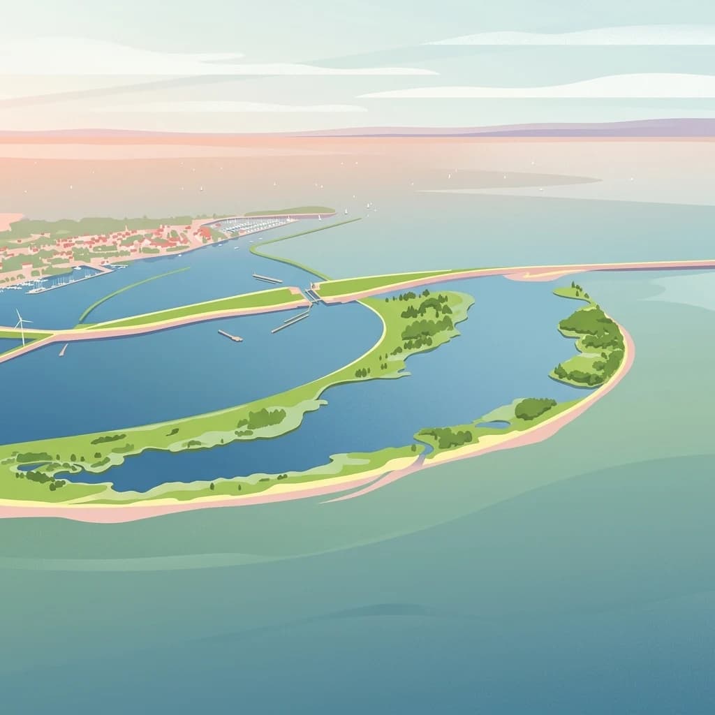
IJsselmeer
Engineered freshwater landscapes and polder geography
IJsselmeer, in Netherlands. Landscapes: lakes, rivers, and islands.
- Area
- 1,133 km²
- Established
- 1932
- Relief
- Lowland
- Climate
- Temperate
Map-based exploration of regional park landscapes and coastal conservation zones
Compare protected areas near Duinen van Texel National Park, ordered by geographic distance. They include IJsselmeer and Nieuw Land.

Coastal dune wilderness on Texel island with rich birdlife and unique wetland habitats
Duinen van Texel National Park is a protected coastal landscape on the Dutch island of Texel in North Holland, established in 2002. The park encompasses the dramatic dune systems along the western coast of the island along with the expansive coastal plains at both the northern and southern tips. Covering approximately 43 square kilometers, this dynamic landscape features active dune formation, wet dune valleys, salt marshes, and freshwater wetlands that support exceptional biodiversity. The park is jointly managed by Staatsbosbeheer and the Dutch Ministry of Defence, with the visitor center located at the natural history museum Ecomare. The area holds Ramsar wetland designation and forms part of the Natura 2000 European ecological network, reflecting its international significance for conservation.
See the ranked park cluster in its geographic setting
Distance-ranked conservation areas and regional park geography for comparative analysis

Southeast
Engineered freshwater landscapes and polder geography
IJsselmeer, in Netherlands. Landscapes: lakes, rivers, and islands.

Southeast
Protected area geography and ecological discovery in the Netherlands
Nieuw Land National Park offers a distinctive protected landscape forged on land recently reclaimed from the sea in the Dutch province of Flevoland. This national park is characterized by its vast expanse of wetlands, artificial islands like the Marker Wadden, and critical importance for migratory bird populations. Delve into the park's geographic context and mapped features to understand its unique conservation value and role within the wider European atlas of protected areas.

South
Explore its unique mapped terrain and protected area geography.
Zuid-Kennemerland National Park showcases a remarkable coastal dune ecosystem situated in the North Holland province. This national park entry provides detailed insight into its protected landscape, from calcium-rich dune soils supporting rare flora to ancient woodlands and extensive walking trails. Users can explore the park's mapped boundaries, understand its geographic setting within the Netherlands, and appreciate its significance as a conservation area. Discover the natural terrain and ecological richness that characterize this important Dutch protected land.

East
Protected wetland terrain and abundant birdlife in the Netherlands.
Delve into the intricate mapped geography of De Alde Feanen National Park, a national park renowned for its exceptional lowland peat bog ecosystem. This protected area in Friesland showcases a unique terrain comprising shallow lakes, reed beds, and historic peat extraction pools, offering significant ecological and cultural value. The park's landscape provides vital habitats and serves as a testament to the region's long history of human engagement with wetland environments, making it a key destination for atlas-driven geographic discovery.

Southeast
Explore the marshland and polder terrain in Flevoland, Netherlands
Oostvaardersplassen represents a landmark in modern Dutch conservation, covering a 5,600-hectare mosaic of mudflats, reed beds, and willow thickets. This nature reserve, located between Almere and Lelystad, demonstrates the evolution of a young reclaimed landscape. It provides an essential habitat for marsh birds and large herbivores within the Nationaal Park Nieuw Land region, offering a distinct study in polder-based ecological management and wetland geography.

South
Ecologically significant wetland habitats in Flevoland
Lepelaarplassen is a protected wetland reserve situated on the edge of the young Flevoland polder. Featuring a blend of excavated lakes, willow marshes, and expansive reed fringes, the area provides essential habitat for colonial breeding birds and migratory species. This detailed look covers the landscape structure and regional geography of one of the most vital wetland zones along the Oostvaardersdijk.
Southeast
Mapping freshwater lake dynamics in the Flevoland and Overijssel border region.
Ketelmeer & Vossemeer constitutes a significant Natura 2000 wetland complex where riverine floodplains meet engineered polder landscapes. This analysis provides insights into the site's role as a critical Important Bird Area and its position within the broader IJssel delta network of lakes and water channels.
South
A vast protected lake system shaped by historic water engineering
Spanning the distance between Flevoland and North Holland, Markermeer & IJmeer represents a significant freshwater protected area. The landscape features large lake basins framed by dike systems and recent island developments, offering a prime example of Dutch wetland geography and managed water ecosystems.

Southeast
Explore mapped protected wetlands and unique hydrological landscapes.
Weerribben-Wieden National Park stands as a remarkable example of a large-scale lowland peat bog ecosystem, recognized as the most extensive and well-preserved in Northwestern Europe. Located in the Overijssel province, this protected area showcases a complex mosaic of interconnected waterways, expansive reed beds, and marshy woodlands. Our platform provides structured geographic context, enabling detailed map-based discovery of the park's unique terrain and ecological significance as a vital conservation landscape.

Southeast
A vital protected freshwater habitat in the province of Overijssel.
Zwarte Meer stands as a cornerstone of the Dutch border lake system, offering a vast expanse of open water and protected reed marshes. This nature reserve provides essential ecological continuity within the regional landscape of Overijssel, serving as a sanctuary for waterbirds and a prime example of managed wetland terrain within the European protected area network.
South
A Natura 2000 wetland reserve within the Flevoland region
The Eemmeer & Gooimeer Zuidoever nature reserve consists of two distinct yet interconnected lake basins that represent the evolving landscape of the central Netherlands. The area is defined by its shallow water fringes and marshy shorelines, which provide essential sanctuary for waterbirds. By tracing the boundary between engineered polders and older mainland provinces, this reserve provides a unique look at the ecological significance of the former Zuiderzee remnants.

East
Explore protected Dutch Wadden Sea geography and terrain.
Lauwersmeer National Park, in Netherlands. Landscapes: wetlands, lakes, and rivers.

Northeast
Explore its unique dune systems, salt marshes, and Wadden Sea context.
Schiermonnikoog National Park in Friesland is a testament to actively evolving coastal geography, showcasing dynamic dune formations, extensive salt marshes, and diverse natural habitats. As a protected landscape within the UNESCO Wadden Sea, it offers a unique focus for understanding regional protected areas and the intricate interplay of wind, water, and sediment shaping the North Sea coastline. Discover the park's ecological significance and its mapped terrain through MoriAtlas's structured geographic exploration.
Southeast
Mapping medieval polder patterns and wetland bird habitats.
Arkemheen is a significant nature reserve in the Netherlands characterized by a flat, open polder landscape and historic fourteenth-century agricultural patterns. The area offers a distinct ecological profile, integrating freshwater border lakes with saline-influenced grasslands that support an internationally recognized population of meadow and wetland birds.

Southeast
Glacial moraines, heathlands, and inland sand systems
Investigate the Veluwe, a premier protected area in the Gelderland province characterized by its historic push moraines and extensive ecological zones. The region encompasses significant sand drift complexes, dense woodlands, and vital spring-fed streams, offering a clear view of the diverse natural terrain found throughout the central Netherlands.

East
Explore unique heathlands, drift-sands, and regional natural geography.
This entry details Drents-Friese Wold National Park, a crucial protected landscape in the Drenthe province. Understand its mapped boundaries, distinctive heath and drift-sand terrain, and its significance as a natural area. Discover the park's regional geographic setting and its role in the broader Dutch landscape atlas, providing context for its unique ecological and historical character.
Southeast
A preserved Natura 2000 cultural landscape in Overijssel
Discover the narrow pipe shaped parcels of Olde Maten en Veerslootlanden, a uniquely preserved peat meadow reserve in the eastern Netherlands. The landscape features a high concentration of alder woodlands, species rich ditches, and historic duck decoys that define this significant regional ecosystem.

East
Explore a protected landscape of heath, bogs, and ancient geography.
Dwingelderveld National Park represents a significant protected landscape in the Drenthe region of the Netherlands, celebrated as the largest wet heathland in Western Europe. This 37-square-kilometer area provides exceptional opportunities for atlas exploration, revealing a terrain composed of sandy ridges interspersed with waterlogged depressions. The park's defining features include more than forty natural pools, known as vennen, many of which are geologically important pingo-ruins. Discover the rich archaeological heritage, including ancient Celtic fields and burial mounds, all situated within this unique natural setting. MoriAtlas offers a structured view of Dwingelderveld National Park's distinct geography and protected ecological value.

East
Explore Drenthe's unique protected lands and mapped terrain.
Drentsche Aa National Park stands as a testament to a landscape preserved from the mid-19th century, offering a rare glimpse into traditional Dutch rural life. Situated in the province of Drenthe, this protected area features one of the last relatively untouched river systems in the Netherlands, characterized by meandering brooks, ancient hedgerows, and distinctive esdorp villages. The park's geography is influenced by the Saalien ice age Hondsrug ridge, creating a unique terrain of heathlands, sand dunes, and rolling landscapes ideal for atlas-based discovery.

South
Discover Utrecht Province's glacial ridge and diverse natural terrain.
Utrechtse Heuvelrug National Park is a significant protected natural area located in Utrecht Province, renowned for its unique glacial ridge topography. This entry provides detailed information about its mapped boundaries, diverse landscapes including heathlands and forests, and its importance as an ecological corridor within the Netherlands. Explore the park's distinct geography and its role in regional conservation through our structured atlas view.
Geographic measurements, not driving distances
Calculated between the nearest points of both park boundaries.
Estimated from one mapped park location to the nearest boundary of the other park.
Estimated between the mapped locations of both parks.
Explore the map, landscapes, and protection details for Duinen van Texel National Park.