West
El Kala National Park
Explore its mapped geography and vital ecosystem context.
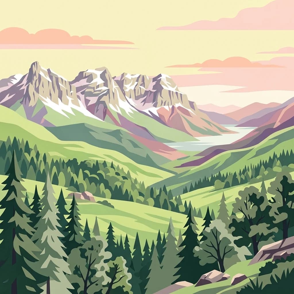
El Kala National Park, in El Taref Province, Algeria. Landscapes: hills, forests, and wetlands.
- Area
- 764 km²
- Established
- 1993
- IUCN
- II
- Visitors
- 30K annual
Map-based regional geography and proximity analysis for surrounding protected land
Examine the geographic context and distribution of protected natural landscapes located in the immediate vicinity of El Feidja National Park. This regional overview highlights surrounding park boundaries and environmental zones, providing a clear perspective on the spatial relationship between this protected mountain forest and other nearby conservation areas.

Mountain forest reserve protecting North Africa's last Barbary stag populations
El Feidja National Park is a protected mountain forest area in northwestern Tunisia, situated in the Jendouba Governorate near the city of Jendouba. Established on 9 June 1990, the park covers approximately 2,765 hectares of rugged terrain characterized by dense forests, mountainous ridges, natural springs, and small lakes. The park represents one of the few remaining intact forest ecosystems in northern Tunisia and serves as a critical refuge for species that have otherwise disappeared from much of North Africa. Its combination of ecological significance, archaeological heritage, and scenic beauty makes it a notable destination for both conservation and sustainable tourism in the region.
See the ranked park cluster in its geographic setting
Geographic separation, directional context, and regional protected-landscape comparison

West
Explore its mapped geography and vital ecosystem context.
El Kala National Park, in El Taref Province, Algeria. Landscapes: hills, forests, and wetlands.

Northeast
Explore the mapped protected area and regional geography of Oued Zeen National Park.
Oued Zeen National Park is a designated national park in Tunisia, offering a crucial point for geographic exploration within the country's atlas. This page details its protected landscape identity, contributing to a structured understanding of regional natural areas and park boundaries. Users can examine its geographic setting and landscape context to deepen their appreciation of Tunisia's protected lands.

Northeast
Explore the mapped geography of Jebel Chitana-Cap Négro National Park.
As a designated national park, Jebel Chitana-Cap Négro National Park represents a key protected area for understanding the regional geography of Bizerte Governorate. This entry provides structured information focused on the park's geographic scope, its mapped boundaries, and its significance as a protected landscape. It is designed for users seeking detailed, atlas-style context on Jebel Chitana-Cap Négro National Park's natural setting and its place within Tunisia's protected lands network.

Northeast
Explore the mapped geography and regional context of this Tunisian national park.
Ichkeul National Park, in Tunisia.

Southeast
Explore its terrain and protected landscape context.
Jebel Serj National Park, established in 2010, safeguards a significant mountainous territory in central Tunisia, distinguishing itself from the broader semi-arid plains. This protected landscape showcases the Djebel Serj massif, a unique topographical feature that serves as an ecological bridge between Tunisia's northern and southern regions. Users exploring this page can gain an atlas-level understanding of the park's mapped boundaries, its geological character, and its contribution to the conservation of representative natural diversity within North Africa's transitional ecosystems.

East
Explore its mapped terrain and unique protected ecosystem.
Boukornine National Park in Tunisia represents a significant protected landscape, notable for its central granite peak, Jebel Boukornine, which rises sharply above the surrounding coastal plains. This national park, covering approximately 1,939 hectares, preserves a distinctive Mediterranean mountain ecosystem. Its rugged terrain, rocky slopes, and the presence of Aïn Zargua spring support a unique concentration of species, including notable flora and fauna. Understanding Boukornine National Park provides insight into the regional geography and the importance of conserving these mountainous protected areas within Tunisia.

South
High elevation terrain in the Kasserine Governorate
Chambi National Park encompasses 67 square kilometers of rugged, high-altitude terrain in Tunisia. This resource maps the park's mountain ecosystem, from its forested valleys to its exposed rocky peaks, providing a structured overview of this significant protected landscape near the Algerian border.

East
Explore its unique geography and mapped protected area boundaries.
Zembra National Park safeguards a rugged, mountainous island environment characterized by dramatic limestone cliffs plunging into the Mediterranean Sea. This national park is renowned for its exceptional avian populations, including the endangered Eleonora's falcon, and its preserved Mediterranean maquis ecosystem, supporting endemic plant species. The park's geographic isolation contributes to its status as a significant biodiversity hotspot, offering a distinct lens for understanding island ecosystems and conservation efforts within the broader Tunisian geography.

South
Discover Saharan wildlife, Roman ruins, and unique semi-arid landscapes.
Bou-Hedma National Park serves as a crucial conservation hub in Tunisia's Gafsa Governorate, renowned for its success in reintroducing endangered Saharan large mammals like the scimitar oryx and addax. The park's geography spans arid plains and seasonal wadis, encompassing the Ramsar-listed Sebkhet Noual wetland. Its unique landscape also preserves significant Roman-era archaeological sites, offering a rich context for exploring protected-area identity, conservation achievements, and ancient human history within a North African setting.

Southwest
Explore its protected area boundaries and regional natural terrain.
Belezma National Park, in Batna Province, Algeria. Landscapes: mountains, forests, and grasslands.

West
Explore its unique mapped geography and conservation significance.
Taza National Park, situated in Algeria's Jijel Province, represents a crucial protected landscape where the Tell Atlas mountains meet the Mediterranean Sea. This 3,807-hectare national park is celebrated for its dramatic coastal cliffs, extensive cork oak and gall oak forests, the largest in Algeria, and its designation as a UNESCO biosphere reserve. The park's geography facilitates unique habitat zones, making it a key area for atlas-based discovery of North African biodiversity, including the Barbary macaque and Algerian nuthatch, within a landscape of exceptional natural beauty and conservation priority.

East
Mapped boundaries and regional geographic context.
Pantelleria National Park is a designated national park in Italy offering a distinct protected landscape for exploration. This page provides essential geographic context, highlighting the park's mapped boundaries and its significance within the regional atlas. Understand the terrain and protected land features that define this important natural area.

West
Discover its mapped boundaries and regional geography.
Gouraya National Park, in Béjaïa Province, Algeria. Landscapes: mountains, cliffs, and forests.

North
Brackish lagoon habitats in the province of Oristano, Sardegna
Explore the natural terrain of Stagno di San Giovanni, a brackish coastal lagoon in southwestern Sardegna. Defined by shallow waters and river-fed marshlands, this protected area is central to an interconnected network of Mediterranean lagoons, offering significant insight into the coastal geography and environmental history of the Oristano region.

North
A Ramsar-listed brackish wetland on the Sardinian coast
Laguna di Marceddì serves as a critical protected area along the western Mediterranean coast of Sardinia. The landscape features a complex mosaic of tidal channels, shallow pools, and brackish basins. Fed by inland streams, this wetland supports diverse waterbird populations and long-standing professional fisheries while remaining a distinct, low-lying geographic feature within the surrounding agricultural plains of the Oristano province.

North
Mapped geography of a unique Sardinian protected landscape.
Delve into the atlas-level details of the National Park of the Gulf of Orosei and Gennargentu, a protected area in Italy renowned for its stark contrast between dramatic coastal cliffs bordering the Gulf of Orosei and the wild, mountainous interior of the Gennargentu massif. This page provides structured geographic context, mapping the park's boundaries and showcasing its distinctive karst landscape, hidden beaches, and rugged peaks for comprehensive protected-area exploration.

West
Explore its mapped boundaries and protected area geography.
Djurdjura National Park, in Kabylia, Algeria. Landscapes: mountains, forests, and caves.
South
Explore its mapped boundaries and regional geographic context.
Jebil National Park is a key protected area within the Kébili Governorate, designated as a national park. This focus provides essential geographic context for understanding the region's natural landscapes and conservation efforts. Users can delve into its mapped extent and position within Tunisia's atlas, offering structured discovery of its protected land identity.
North
A transboundary conservation zone spanning 87,500 square kilometers.
Sanctuaire Pelagos represents a unique collaborative effort in marine conservation across the Mediterranean. Spanning the waters between France, Italy, and Monaco, this protected maritime area is defined by its deep-sea canyons and nutrient-rich currents that sustain diverse cetacean populations. Its immense scale and international governance make it a focal point for understanding Mediterranean marine biodiversity and environmental policy.
Geographic measurements, not driving distances
Calculated between the nearest points of both park boundaries.
Estimated from one mapped park location to the nearest boundary of the other park.
Estimated between the mapped locations of both parks.
Deepen your understanding of El Feidja National Park by examining its precise geographic setting and mapped protected-area characteristics. This resource facilitates structured exploration of the park's natural landscape and its position within the broader atlas of Tunisian protected areas. Discover the atlas-driven insights available for El Feidja National Park and its surrounding geography.