Mori Atlas logo
Nearby park discovery

Regional mapping of surrounding protected landscapes and geographic park boundaries

Parks near Gargano National Park

Compare protected areas near Gargano National Park, ordered by geographic distance. They include Alta Murgia and Marina di Vasto.

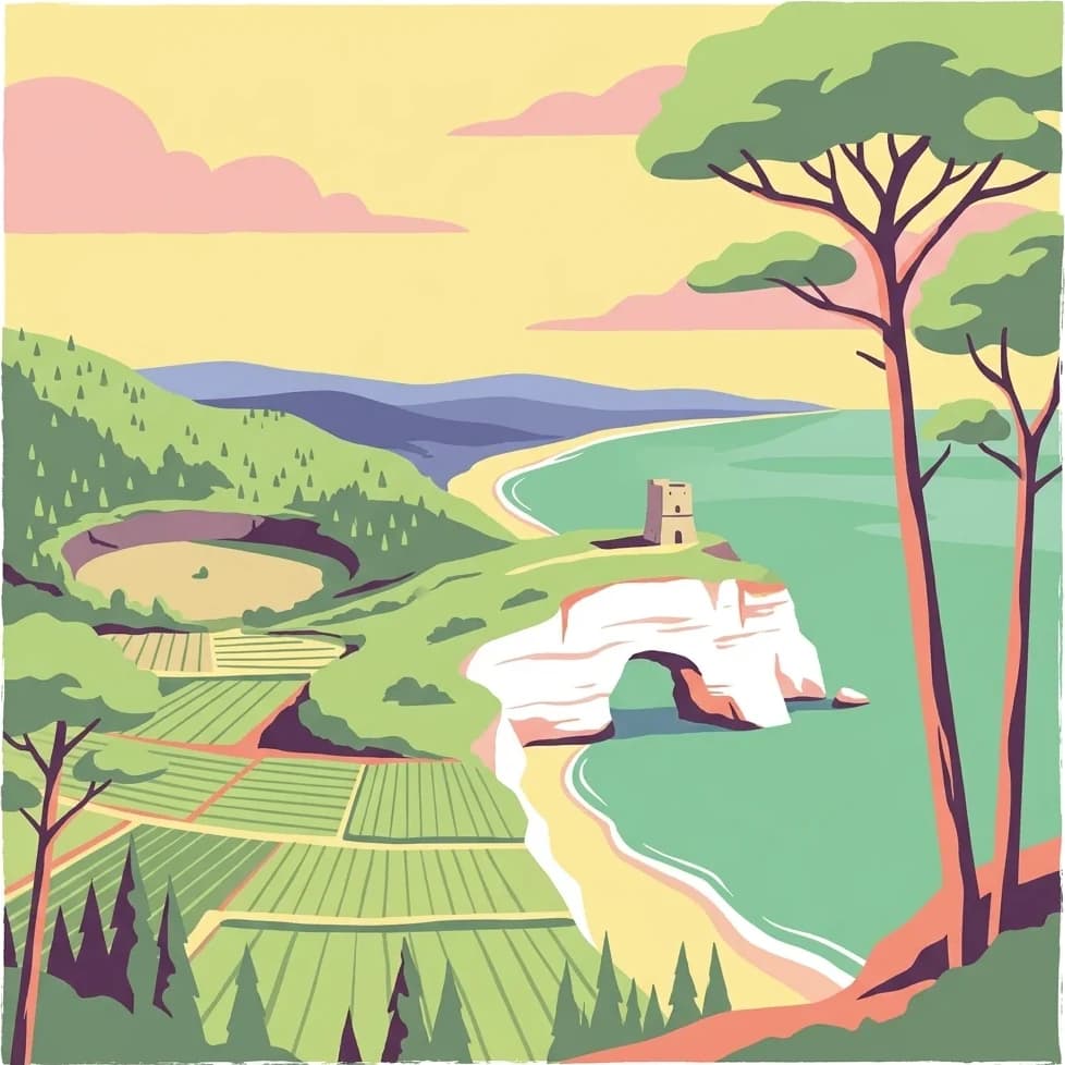
Illustrated coastal landscape with a white rock arch, a tower on a cliff, green agricultural fields, forested hills, and a shoreline with blue water under a yellow sky with pink clouds

Mediterranean promontory wilderness with ancient forests and coastal islands

Gargano National Park

Gargano National Park is a vast protected area in southern Italy spanning the Gargano promontory, its offshore archipelago, and adjacent wetlands in the region of Apulia. Established in 1991, it covers approximately 118,000 hectares, making it the largest national park in Apulia and one of the most ecologically significant protected areas in Western Europe. The park encompasses the rugged limestone mountains of the Gargano headland, the ancient beech woodlands of the Foresta Umbra, the Tremiti Islands in the Adriatic Sea, and the coastal wetland complex of Lago Salso. This extraordinary concentration of Mediterranean, forest, and wetland habitats within a single protected landscape creates one of Italy's most biologically diverse territories.

Location
Italy
Park type
National park
Established
1991
Area
1,181.4 km²
Gargano National Park Atlas
Regional park map

See the ranked park cluster in its geographic setting

Nearby parks around Gargano National Park

This regional map shows the same 20 nearby parks ranked below around Gargano National Park. Select a ranked marker to highlight that park’s boundary where boundary data is available.
Reference park: Gargano National ParkRanked nearby parkSelected boundary: Gargano National Park20 nearby parks shown
20 nearby parks

Geographic distance and regional environment comparisons for surrounding protected landscapes

Ranked Nearby Parks And Protected Areas Spanning The Geography Of Gargano National Park

Spatial proximity measurements rank surrounding protected areas by linear separation from Gargano National Park to establish structured regional comparisons. National boundaries and recorded environmental traits provide baseline context for analyzing broader patterns across adjacent protected landscapes.
Watercolor illustration showing green grasslands, distant hills, and a winding path under a light sky
National parkItaly
44 km away#1 closest

South

Alta Murgia National Park: National Park Exploration and Protected Landscape Context

Explore mapped terrain and regional geography.

Alta Murgia National Park is a designated national park offering unique opportunities for geographic discovery. Delve into its protected landscape, understand its mapped boundaries, and situate it within the broader Italian atlas. This entry provides essential context for exploring the park's terrain and regional significance.

Area
677.39 km²
Established
2004
IUCN
II
Relief
Mixed relief
A wide panoramic watercolor painting showing a landscape with a body of water in the foreground, green grasses and trees on the banks, and layers of purple and pink hills in the distance under a pale sky.
Nature reserveAbruzzo
About 45 km away#2 closest

West

Riserva naturale regionale Marina di Vasto: Coastal Nature Reserve in Abruzzo, Italy

Mapping protected Adriatic dune and wetland ecosystems

This nature reserve protects a vital 3-kilometer strip of the Adriatic coastline in Abruzzo, acting as a rare sanctuary for specialized flora and fauna. By managing a delicate ecotone of shifting sand dunes and brackish wetland basins, the area maintains a high degree of ecological significance within the regional landscape. The geography provides an important look at integrated coastal conservation at the meeting point of urbanized hinterlands and the Adriatic sea.

Area
0.57 km²
Established
2007
Relief
Lowland
Climate
Mediterranean
A soft watercolor painting of a coastal landscape with rolling green hills, scattered trees, and a light-colored sandy foreground, rendered in a minimalist style.
Nature reserveAbruzzo
About 81 km away#3 closest

Northwest

Punta dell'Acquabella Nature Reserve: Adriatic Coastal Landscape and Geography

Protected Mediterranean shoreline in the Abruzzo region of Italy

Punta dell'Acquabella is a distinct nature reserve on the Adriatic coast of Abruzzo, characterized by its promontory, cliff habitats, and clear coastal waters. The area serves as a significant intersection of natural heritage and cultural landscape within the Trabocchi coast, offering a deep look into the regional geography and environmental features that define this protected territory.

Area
0.28 km²
Established
2007
Relief
Upland
Climate
Mediterranean
Watercolor painting showing mountains, forests, and a body of water in a scenic landscape
National parkAbruzzo
81 km away#4 closest

West

Maiella National Park

Explore mapped park boundaries and natural terrain.

Maiella National Park, in Abruzzo, Italy. Landscapes: mountains, valleys, and plateaus.

Area
628.38 km²
Established
1991
IUCN
II
Relief
Mountain
Watercolor illustration of rolling hills, green vegetation, and distant mountains under a light sky
Protected areaCroatia
83 km away#5 closest

Northeast

Lastovo Nature Park

Mapped karst terrain, ancient architecture, and natural island geography.

Lastovo Nature Park, in Croatia. Landscapes: hills, islands, and caves.

Area
46.87 km²
Established
2006
IUCN
V
Relief
Upland
Watercolor illustration showing a landscape with mountains, green forests, and a river under a soft sky
National parkBasilicata
105 km away#6 closest

South

Appennino Lucano - Val d'Agri - Lagonegrese National Park: Protected Mountain Landscape in Basilicata, Italy

Explore its geography, mapped terrain, and ecological role.

Gain insight into Appennino Lucano - Val d'Agri - Lagonegrese National Park, a significant protected mountain landscape in the heart of Basilicata. This detailed page focuses on the park's distinct geographic features, its role as a crucial ecological corridor connecting major southern Italian protected areas, and the mapped contours of its diverse terrain. Understand its place within the Lucano Apennine range and the broader natural atlas of Italy.

Area
689.96 km²
Established
2007
IUCN
II
Relief
Mountain
Watercolor painting showing a landscape with rolling green hills, a river, and scattered trees
National parkItaly
About 114 km away#7 closest

West

Abruzzo, Lazio and Molise National Park

Protected landscape in Italy's Apennines.

Abruzzo, Lazio and Molise National Park, in Italy.

Established
1923
IUCN
II
Watercolor painting of mountains, green valleys, and a river
National parkItaly
115 km away#8 closest

Northwest

Gran Sasso and Monti della Laga National Park

Mapped protected areas and regional natural landscape details.

Gran Sasso and Monti della Laga National Park, in Italy.

IUCN
II
Watercolor painting showing mountains, a lake, and grassy fields
National parkItaly
117 km away#9 closest

South

Cilento, Vallo di Diano and Alburni National Park

Mapped protected area boundaries and regional context.

Cilento, Vallo di Diano and Alburni National Park, in Italy. Landscapes: mountains, valleys, and coasts.

Area
1,810.48 km²
Established
1991
IUCN
II
Relief
Mountain
Watercolor illustration of a mountainous landscape with green hills, a valley with a river, and distant mountains under a pink and yellow sky
National parkCampania
128 km away#10 closest

Southwest

Vesuvius National Park: Protected Volcanic Landscape in Campania, Italy

Explore mapped boundaries and regional geography.

Discover Vesuvius National Park, a vital protected area safeguarding Italy's iconic active volcano. This page provides essential geographic context, detailed mapped terrain, and insights into the park's unique volcanic landscape within the Campania region. It serves as a key entry point for understanding the park's protected status and its geological significance for structured atlas exploration.

Area
72.59 km²
Established
1995
IUCN
II
Relief
Mountain
Watercolor painting showing two pink-hued lakes surrounded by green vegetation and distant mountains under a light yellow sky
National parkCroatia
136 km away#11 closest

Northeast

Mljet National Park

Explore mapped park boundaries and Mediterranean island geography.

Mljet National Park, in Croatia. Landscapes: islands, lakes, and forests.

Area
53 km²
Established
1960
IUCN
II
Relief
Lowland
Watercolor illustration showing green hills, a valley, and pink rock formations under a pale sky
National parkBasilicata
146 km away#12 closest

South

Pollino National Park: Protected Landscape of Ancient Forests and Alpine Terrain

Italy's largest national park and UNESCO Global Geopark

Pollino National Park, located in the Basilicata region, is a significant protected landscape renowned for its extensive ancient forests, particularly its rare Bosnian pines, and its dramatic, high-altitude mountain geography. Covering over 1,925 square kilometers, this national park is also recognized as a UNESCO Global Geopark, highlighting its exceptional geological heritage and unique ecosystems. The park's rugged terrain, soaring peaks, and rare ancient trees offer rich opportunities for understanding regional protected areas and mapped natural landscapes in southern Italy.

Area
1,925.65 km²
Established
1992
IUCN
II
Relief
Mountain
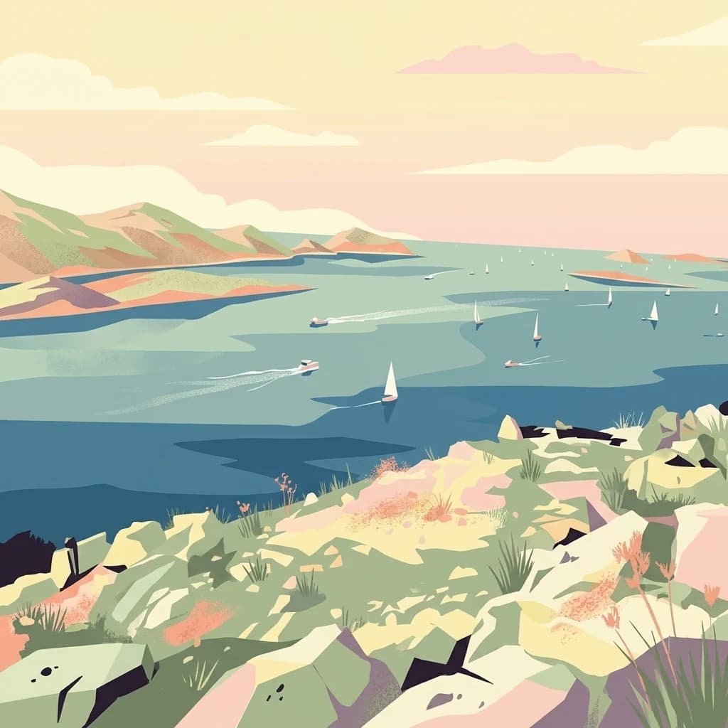
A digital illustration of a coastal scene featuring rocky, sun-drenched islands in the foreground and a vast blue sea dotted with sailboats and motorboats in the background under a warm, pale sky.
National parkŠibenik-Knin County
161 km away#13 closest

North

Kornati Islands National Park

Explore the mapped geography and unique protected island terrain.

Kornati Islands National Park, in Šibenik-Knin County, Croatia. Landscapes: islands, cliffs, and caves.

Area
320 km²
Established
1980
IUCN
II
Relief
Lowland
Watercolor illustration of a landscape with green hills, a river, and distant mountains under a light sky
Protected landscapeDalmatia
About 162 km away#14 closest

Northeast

Biokovo Nature Park: Protected Landscape and Karst Terrain in Dalmatia

Explore Dalmatia's premier protected mountain range along the Adriatic.

Biokovo Nature Park is a striking protected landscape situated in the Dalmatia region of Croatia, characterized by its immense limestone massifs that create a formidable barrier between the coast and the continental interior. This protected area is defined by its classic karst topography, featuring a complex network of sinkholes and caves, and offers unparalleled views from peaks like Sveti Jure. MoriAtlas provides detailed geographic context for understanding Biokovo Nature Park's unique terrain, mapped boundaries, and its significant role in the regional landscape.

Area
196 km²
Established
1981
IUCN
V
Relief
Mountain
A stylized illustration of a river canyon with waterfalls on the left, a long wooden footbridge extending across the river in the center, and steep rocky hills covered in trees under a soft-toned sky.
National parkŠibenik-Knin County
174 km away#15 closest

North

Krka National Park

Explore the mapped protected landscape and karst geography.

Krka National Park, in Šibenik-Knin County, Croatia. Landscapes: rivers, waterfalls, and wetlands.

Area
109 km²
Established
1985
IUCN
II
Relief
Lowland
Watercolor illustration of rolling hills, trees, and a body of water
Nature reserveDugi Otok
184 km away#16 closest

North

Telašćica Nature Park: Adriatic Sea Cliffs, Lake Mir, and Protected Landscape

Dugi Otok's Premier Nature Reserve on the Dalmatian Coast

Telašćica Nature Park safeguards a highly distinctive coastal environment on Croatia's Dugi Otok island. This protected area is defined by its imposing 161-meter-high vertical limestone cliffs, locally named 'stene,' which create a breathtaking interface with the Adriatic Sea. Within the park, the unique saltwater Lake Mir offers a fascinating geological feature, while the sheltered bay and its surrounding landscape showcase a rich Mediterranean flora and a complex archipelago. The park serves as a prime example of Adriatic karst landscape preservation and mapped coastal geography.

Area
70.5 km²
Established
1988
IUCN
II
Relief
Mixed relief
Watercolor painting of a mountainous landscape with green and yellow terrain, distant mountains, and forests
National parkMarche
185 km away#17 closest

Northwest

Monti Sibillini National Park

Explore protected landscape boundaries and terrain.

Monti Sibillini National Park, in Marche, Italy. Landscapes: mountains, valleys, and lakes.

Area
697.22 km²
Established
1993
IUCN
II
Relief
Mountain
Watercolor illustration showing a coastal landscape with green hills, trees, and water body
National parkItaly
189 km away#18 closest

West

Circeo National Park: Protected Landscape of Italy's Lazio Coast

Explore mapped terrain and Mediterranean ecosystem boundaries.

Circeo National Park offers a distinct protected landscape anchored by the striking Monte Circeo limestone promontory and its associated coastal dunes and island environments. As one of Italy's earliest national parks, it preserves a vital mosaic of Mediterranean ecosystems, providing a unique subject for geographic study and atlas-based navigation of protected areas. Users can explore its mapped context and the interplay between karst geology, coastal terrain, and diverse natural habitats.

IUCN
II
A pale, wide watercolor illustration showing rolling green hills and a winding stream, framed by distant, hazy mountain ridges.
Protected landscapeMontenegro
About 208 km away#19 closest

East

Orjen Protected Landscape: Montenegro Mountain Geography and Karst Atlas

High-altitude karst massif and Dinaric coastal mountain.

Orjen rises as a dramatic limestone block above the Adriatic coast of Montenegro, forming a high-altitude sanctuary defined by intensive Pleistocene glaciation and record-breaking annual precipitation. This protected landscape encompasses extensive dolines, roches moutonnées, and specialized cold-air refugia, providing a detailed study of sub-Mediterranean highland vegetation and complex subterranean karst drainage.

Area
400 km²
Established
2017
Relief
Mountain
Climate
Mediterranean
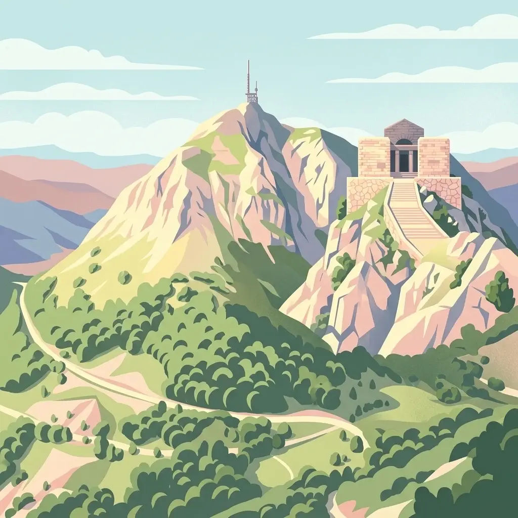
A stylized, flat-design digital illustration of the Njegoš Mausoleum situated on a rocky peak, with a winding path and forested slopes below.
National parkMontenegro
About 225 km away#20 closest

East

Lovćen National Park

Dinaric massif rising above the Adriatic coastal basin.

Lovćen National Park, in Montenegro. Landscapes: mountains, cliffs, and caves.

Area
62.2 km²
Established
1952
IUCN
II
Relief
Mountain
Distance methodology

Geographic measurements, not driving distances

How nearby park distances are calculated

Distances use park boundaries whenever the available geometry allows it. When one or both boundaries are missing, the mapped park locations provide a clearly labelled estimate. Every value represents straight-line geographic separation and does not use roads or routing.

Boundary distance

Calculated between the nearest points of both park boundaries.

Location-to-boundary estimate

Estimated from one mapped park location to the nearest boundary of the other park.

Mapped-location estimate

Estimated between the mapped locations of both parks.

MoriAtlas Explorer

Gargano National Park

Explore the map, landscapes, and protection details for Gargano National Park.

Global natural geography