A cross-border UNESCO Global Geopark in the Karawanks mountains of Austria and Slovenia.
Geopark Karawanken
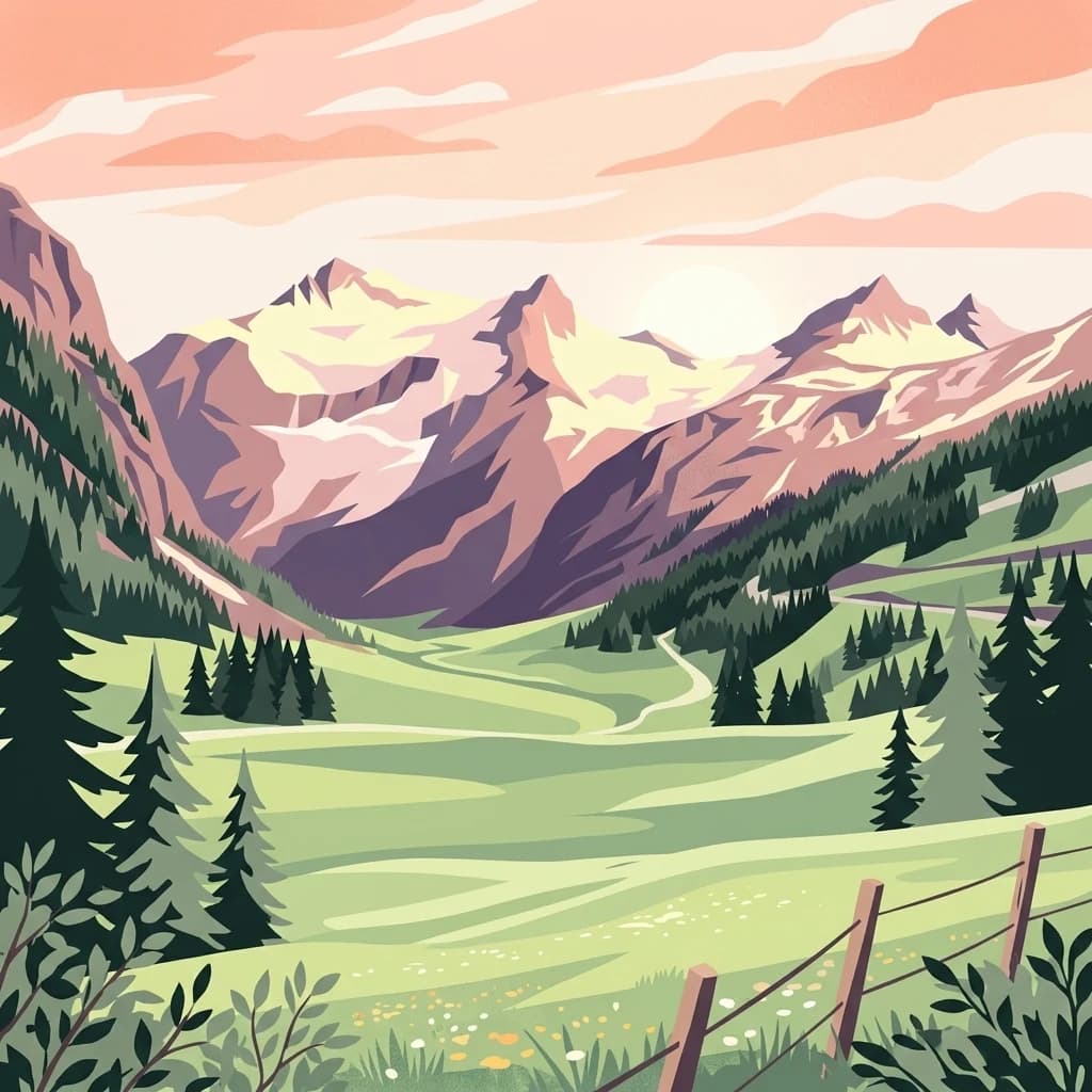
Geopark Karawanken is a cross-border geological park that spans the Karawanks mountain range between Austria and Slovenia. Covering roughly 1,067 square kilometers across fourteen participating municipalities, it brings together a striking alpine landscape with deep valleys, mineral-rich formations, caves, gorges, and former mining sites. The park was admitted to the UNESCO Global Geoparks Network in 2013, recognizing its outstanding geological heritage and its role in showcasing the dynamic tectonic contact zone that shapes the range.
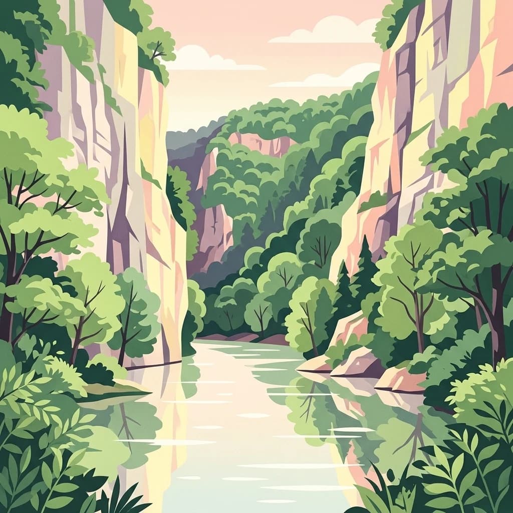
The area's geology is shaped by the convergence of several tectonic plates along the Periadriatic Seam, producing deep-cut valleys and dramatic exposures of rock strata. This geological character underpins the park's principal attractions, including the Obir Dripstone Caves, the Trögern Gorge, the iron-rich Muri Spring, and the former lead-zinc mine at Mežica.
Beyond its geological interest, the geopark functions as an ecotourism and cross-border cooperation initiative. It highlights the shared natural and mining history of German- and Slovenian-speaking communities in the region, while serving as an educational platform for understanding the landscape, ecological heritage, and the cultural ties that link the two sides of the border.