Mori Atlas logo
Nearby park discovery

Map and trace the geographic distribution of protected landscapes in the surrounding region

Protected Wilderness and National Parks Near Hallingskarvet National Park in Norway

Discover a network of protected natural areas and alpine terrain situated in the vicinity of Hallingskarvet National Park. This regional geography overview highlights surrounding mountain landscapes and protected lands to clarify the spatial relationships within Norway's high-altitude wilderness.

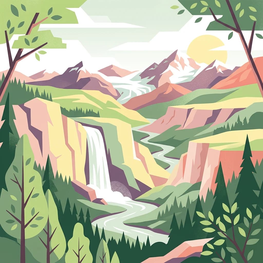
Stylized illustration of a mountainous landscape with a waterfall, river, forested areas, and snow-capped peaks under a sunlit sky

Norwegian alpine plateau and glacier wilderness protecting wild reindeer and ancient geological heritage

Hallingskarvet National Park

Hallingskarvet National Park is a protected wilderness area in central Norway, established in December 2006 to preserve a distinctive high-mountain landscape and its ecological communities. The park encompasses the Hallingskarvet plateau and adjacent alpine terrain spanning portions of Buskerud and Vestland counties, covering approximately 450 square kilometres of rugged Norwegian mountain terrain. The park encompasses the Vargebreen glacier as well as several major valleys including Såtedalen, Lengjedalen, Ynglesdalen, and parts of Raggsteindalen. The landscape represents a geological showcase shaped by multiple ice ages, with the park providing a window into Norway's glacial history and how geological processes have influenced species distribution and ecosystem variation. The protected area serves as a refuge for significant populations of wild reindeer, a species of particular conservation importance in Norway's mountain ecosystems. The highest point within the park is Folarskardnuten, reaching 1,933 metres above sea level. The park's establishment was motivated by the need to protect both the geological heritage and the ecological communities that depend on this high-altitude environment, including vulnerable plant species found in specialized alpine habitats.

Location
Norway
Park type
National park
Established
2006
Area
450 km²
Highest point
1,933 m
Hallingskarvet National Park Map
Regional park map

See the ranked park cluster in its geographic setting

Nearby parks around Hallingskarvet National Park

This regional map shows the same 20 nearby parks ranked below around Hallingskarvet National Park. Select a ranked marker to highlight that park’s boundary where boundary data is available.
Reference park: Hallingskarvet National ParkRanked nearby park20 nearby parks shown
20 nearby parks

Geographic proximity and regional comparison signals across adjacent protected landscapes

Ranked Protected Areas and Surrounding Parks Near Hallingskarvet National Park

Examine the ranked collection of protected areas situated geographically near Hallingskarvet National Park to evaluate surrounding regional park geography. Compare measured boundary separation, country context, and recorded environmental characteristics to analyze adjacent conservation terrain.
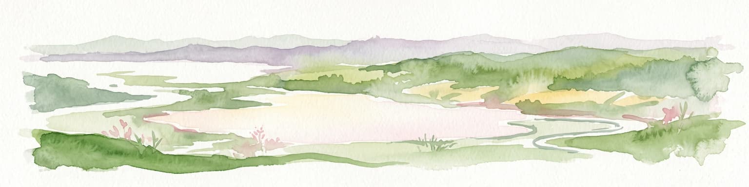
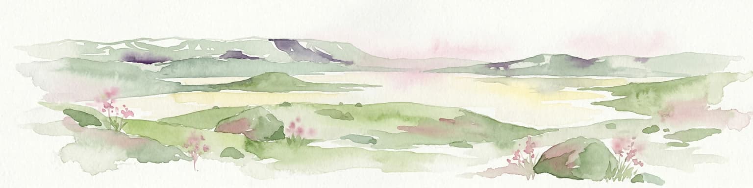
Watercolor painting of rolling green hills, a body of water, and pink flowers
National parkVestland
About 25 km away#1 closest

South

Hardangervidda National Park

Explore Norway's largest national park and its unique tundra ecosystem.

Hardangervidda National Park, in Vestland, Norway. Landscapes: plateaus, hills, and valleys.

Area
3,422 km²
Established
1981
IUCN
II
Relief
Highland
Watercolor illustration of a mountain landscape with green vegetation and pastel-colored peaks
National parkVestland
About 74 km away#2 closest

Southwest

Folgefonna National Park: Norway's Premier Glacier Protected Landscape

Mapped glacial terrain and park boundaries in Vestland.

Folgefonna National Park in Vestland, Norway, stands as a premier protected area defined by its vast ice cap and dramatic glacial geography. This page details the park's mapped boundaries, showcasing its impressive glacial formations, U-shaped valleys, and distinct alpine landscapes. Understand the geographic context and protected status of Folgefonna National Park, a key destination for exploring Norway's glacier heritage through an atlas-driven lens.

Area
545.2 km²
Established
2005
IUCN
II
Relief
Mountain
Watercolor illustration of a mountain range with green hills and a lake in the foreground
National parkNorway
About 87 km away#3 closest

North

Jotunheimen National Park

Explore mapped glacial terrain and alpine geography.

Jotunheimen National Park, in Norway. Landscapes: mountains, valleys, and glaciers.

Area
1,151 km²
Established
1980
IUCN
II
Relief
Mountain
An illustration showing a lush green mountain valley with a winding river, flanked by tall cliffs and snow-capped peaks under a soft sunset sky.
National parkVestland
About 94 km away#4 closest

North

Jostedalsbreen National Park

Mapped terrain and protected area discovery in Vestland, Norway.

Jostedalsbreen National Park, in Vestland, Norway. Landscapes: mountains and glaciers.

Area
1,310 km²
Established
1991
IUCN
II
Relief
Mountain
A stylized illustration of a wide, hilly Norwegian landscape with a river flowing through the center, scattered evergreen trees, small cabins, and distant mountain slopes under a soft, cloudy sky.
National parkInnlandet
About 118 km away#5 closest

Northeast

Langsua National Park: Protected Mountain Forests and Inland Wilderness in Innlandet, Norway

Discover mapped boundaries and regional geographic context.

Langsua National Park, a designation expanded in 2011, is a prominent protected area in Norway's Innlandet county. This national park encompasses 537.1 square kilometers of diverse mountainous terrain, characterized by extensive mountain forests and inland wilderness habitats. Its creation consolidates fragmented nature reserves into a significant contiguous protected landscape, offering valuable insight into Norway's conservation strategies and the geographic context of its eastern mountain regions.

Area
537.1 km²
Established
2011
IUCN
II
Relief
Mixed relief
A flat-design illustration depicting a mountainous landscape with evergreen forests, rolling hills, and snow-capped peaks under a light sky.
Nature reserveRingerike
About 121 km away#6 closest

East

Vikerfjell naturreservat: Geographic Atlas of Protected Forests in Ringerike, Norway

Mapped terrain of high-lying plateaus, ancient coniferous forests, and wetland mosaic.

Vikerfjell naturreservat serves as a vital protected area for old-growth coniferous forests and vulnerable lichen species. This atlas provides a detailed view of its mountain plateaus, forested slopes, and the expansive mire systems that characterize this key southern Norwegian conservation landscape within the Ringerike municipality.

Area
80.335 km²
Established
2016
Relief
Mountain
Climate
Boreal
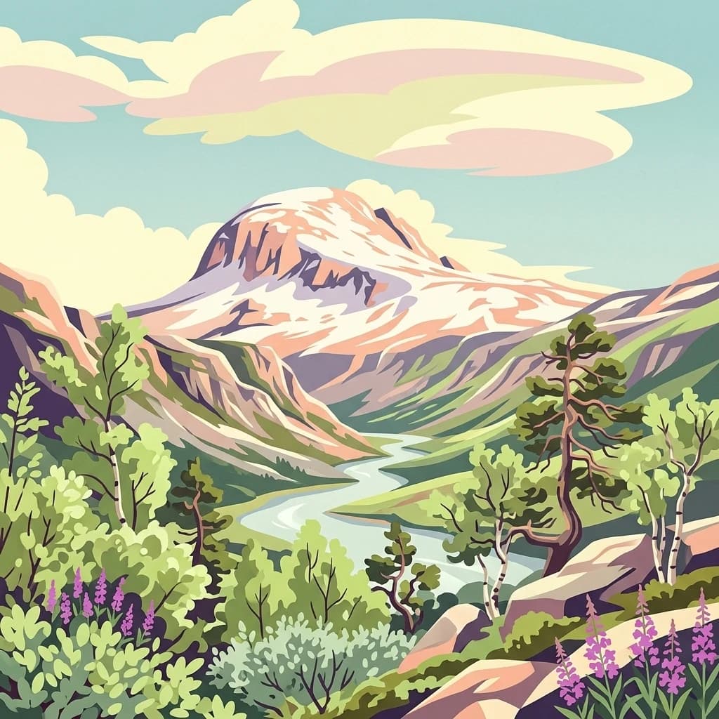
A stylized illustration of a snow-covered mountain peak rising above a winding river valley, surrounded by green forests, rocks, and purple wildflowers in the foreground.
National parkInnlandet
About 129 km away#7 closest

North

Breheimen National Park: Protected Glacial Landscapes and Mountain Terrain in Innlandet

Norway's prominent national park featuring active glaciers and alpine geography.

Breheimen National Park represents a significant protected landscape within Norway's Innlandet region, dedicated to conserving its unique glacial formations and dramatic alpine terrain. The park's vast area encompasses active glaciers, soaring peaks, and a notable diversity of natural environments, from lush valleys to barren plateaus. MoriAtlas facilitates a detailed exploration of Breheimen National Park, highlighting its mapped protected boundaries and its integral role in the regional geography and protected areas atlas.

Area
1,671 km²
Established
2009
IUCN
II
Relief
Mountain
Watercolor painting of mountain peaks with green valleys and grassy foreground
National parkInnlandet
About 169 km away#8 closest

Northeast

Rondane National Park: Norway's Premier Alpine Protected Landscape and Historic National Park

Mapped glacial terrain, iconic peaks, and wild reindeer sanctuary.

As Norway's first national park, Rondane offers a profound exploration of a protected alpine environment. Situated in Innlandet county, its 963 square kilometers showcase a landscape sculpted by glaciers, featuring a striking array of ten peaks exceeding 2,000 meters. This page details Rondane National Park's distinct mapped boundaries, dramatic mountain geography, and its ecological significance as a refuge for wild reindeer, making it a cornerstone of Scandinavian natural heritage.

Area
963 km²
Established
1962
IUCN
II
Relief
Mountain
A stylized digital illustration of a cascading river flowing through a deep valley surrounded by pine trees and snow-capped mountains under a pale sky.
National parkInnlandet
About 171 km away#9 closest

North

Reinheimen National Park: Norway's Vast Protected Wilderness Landscape and Alpine Geography

Map of protected boundaries and diverse mountain terrain.

Reinheimen National Park is a cornerstone of Norway's protected areas, encompassing a substantial portion of Western Norway's alpine wilderness. This national park protects a dynamic landscape characterized by dramatic western peaks and gentler eastern plateaus, providing critical habitat for wild reindeer and other wildlife. Its extensive mapped boundaries and varied natural terrain offer a rich subject for geographic discovery and atlas exploration, highlighting the ecological significance of well-preserved mountain ecosystems within Innlandet.

Area
1,969 km²
Established
2006
IUCN
II
Relief
Mountain
Watercolor painting showing a mountainous landscape with a waterfall, grassy fields, and wildflowers
National parkInnlandet
About 186 km away#10 closest

North

Dovrefjell, Sunndalsfjella National Park

Explore its protected boundaries, mountain terrain, and unique ecological significance.

Dovrefjell, Sunndalsfjella National Park, in Innlandet, Norway. Landscapes: mountains, valleys, and rivers.

Area
1,693 km²
Established
2002
IUCN
II
Relief
Mountain
Nature reserveInnlandet
About 188 km away#11 closest

East

Åkersvika naturreservat: Protected Wetland Ecosystems and Geography in Innlandet

A vital Ramsar wetland and avian sanctuary in Southern Norway

Åkersvika naturreservat functions as a key wetland protected area at the northern end of Lake Mjøsa. The reserve preserves diverse aquatic habitats including shallow bays, reed beds, and shoreline meadows. It serves as a landmark example of lowland wetland conservation in Norway, providing essential breeding and migration grounds for waterfowl and waders within the Innlandet geographic context.

Area
3.25 km²
Established
1974
A soft watercolor painting depicting a wide, open mountain landscape with rolling green hills, muted yellow foreground vegetation, and pale purple mountain ridges in the distance.
Protected landscapeInnlandet
About 189 km away#12 closest

Northeast

Fokstugu landskapsvernområde: Alpine Protected Landscape and Regional Ecological Corridor

A vital bridge for mountain migration in Innlandet, Norway.

Fokstugu landskapsvernområde protects a unique mix of alpine terrain, geological formations, and cultural mountain heritage across the Dovrefjell plateau. Serving as a connective corridor between major national parks, this protected area maintains essential migratory paths for wild reindeer and preserves traditional Norwegian upland farming features.

Area
72.3 km²
Established
2002
Relief
Mountain
Climate
Alpine
A digital illustration showing a wide valley flanked by mountain ridges with scattered evergreen trees in the foreground and a warm sunset sky.
National parkInnlandet
About 192 km away#13 closest

Northeast

Dovre National Park: Mapped Alpine Terrain & Protected Reindeer Habitat in Innlandet

Norway's protected mountain plateau landscape and wildlife corridor.

Dovre National Park is a significant protected area in Innlandet, Norway, characterized by its expansive alpine plateau terrain and role as a vital ecological corridor for wild reindeer. This national park offers users an atlas-level view of its mapped natural boundaries, focusing on the unique subarctic mountain landscape and its conservation importance. Understand Dovre National Park's geographic identity and its contribution to a contiguous network of protected lands.

Area
289 km²
Established
2003
IUCN
II
Relief
Mountain
A watercolor landscape illustration showing a broad river delta with winding waterways, marshy banks, and distant hills.
Nature reserveAkershus
About 204 km away#14 closest

East

Nordre Øyeren naturreservat: Mapped Geography of Norway's Largest Inland Delta

Protected wetland landscapes and river delta terrain in Akershus

The protected land of Nordre Øyeren naturreservat comprises a vast mosaic of mudflats, islands, and river channels formed where three major rivers meet lake Øyeren. This detailed atlas entry explores the geographic significance of the bird's foot delta structure, providing context on its role as a critical inland wetland for migratory waterfowl within the Akershus region.

Area
62.568 km²
Established
1975
Relief
Lowland
Climate
Boreal
National parkTelemark
About 221 km away#15 closest

Southeast

Jomfruland National Park: Coastal Archipelago and Skagerrak Marine Atlas

Norway's unique marine-focused national park landscape.

Jomfruland National Park is a significant protected landscape in Telemark, Norway, renowned for its coastal island geography and a landscape predominantly composed of marine waters. Covering 117 square kilometers, this national park emphasizes the conservation of both terrestrial island habitats and the surrounding Skagerrak coastal ecosystem. Explore the park's mapped boundaries and discover its regional geographic context, offering a unique perspective on Norway's protected areas and maritime natural heritage through MoriAtlas.

Area
117 km²
Established
2016
IUCN
II
Scope
Mixed
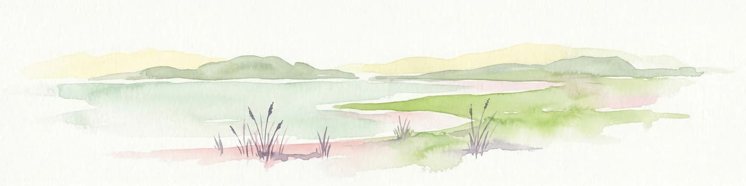
Watercolor illustration of a coastal landscape with reeds in shallow water and distant green hills under a pale yellow sky
National parkFærder Municipality
About 228 km away#16 closest

Southeast

Færder National Park: Norway's Coastal Archipelago & Marine Protected Area Atlas

Explore mapped landscapes and regional geography.

Færder National Park represents a significant protected landscape in Norway, characterized by its extensive marine environment and scattered archipelago. Situated east of Færder Municipality, the park's geography is defined by a mosaic of granite islands, coastal waters, and the iconic Færder Lighthouse. This entry provides atlas-level insight into the park's mapped boundaries, its role as a protected coastal ecosystem, and its contribution to the broader regional geography of Norway's southern coast.

Area
340 km²
Established
2013
IUCN
II
Relief
Lowland
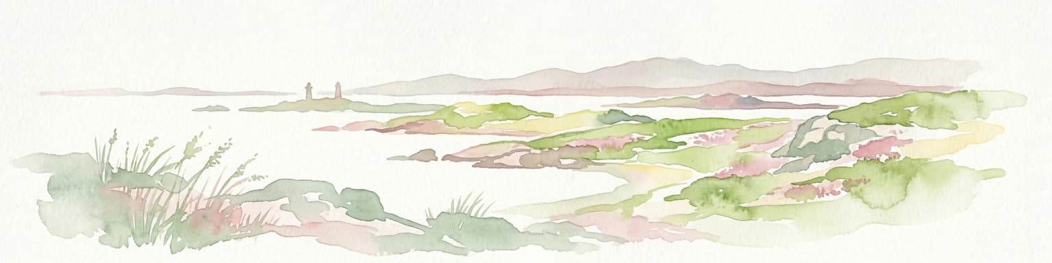
A stylized digital illustration of a rocky coastline meeting the sea, featuring rolling hills, a distant small lighthouse, and a soft pastel sunset sky.
National parkØstfold
About 234 km away#17 closest

Southeast

Ytre Hvaler National Park: Norway's Coastal Marine Protected Landscape Atlas

Explore protected archipelago geography and unique cold water coral reefs.

Discover Ytre Hvaler National Park, a pivotal marine protected area on Norway's Østfold coast. This atlas entry provides detailed insight into its defining skerry landscape, the significant Tisler cold water coral reef, and its role as a protected marine ecosystem. Understand the mapped boundaries and geographic context of this unique Norwegian coastal wilderness, crucial for understanding the region's natural and maritime heritage.

Area
354 km²
Established
2009
IUCN
II
Climate
Temperate
Watercolor painting of coastal waters, islands, rocky shore, and distant hills
National parkAgder
About 253 km away#18 closest

South

Raet National Park: A Coastal National Park Defined by Glacial Moraine Landscape in Agder

Explore Norway's southern coast geography and protected marine area.

Raet National Park offers a profound exploration of Norway's post-glacial landscape, anchored by its namesake 12,000-year-old glacial moraine. This unique protected area, predominantly marine, reveals a striking combination of terrestrial moraine features, extensive pebble beaches, and submerged geological formations. Understanding its mapped boundaries within Agder provides critical context for appreciating this significant coastal protected landscape, its marine ecosystems, and its role in the regional geography.

Area
607 km²
Established
2016
IUCN
II
Relief
Lowland
Watercolor illustration of a coastal landscape with islands, grassy areas, and water
National parkVästra Götaland County
About 255 km away#19 closest

Southeast

Kosterhavet National Park

Discover its mapped underwater terrain and rich marine biodiversity.

Kosterhavet National Park, in Västra Götaland County, Sweden. Landscapes: islands, coasts, and reefs.

Area
388.78 km²
Established
2009
IUCN
II
Visitors
90K annual
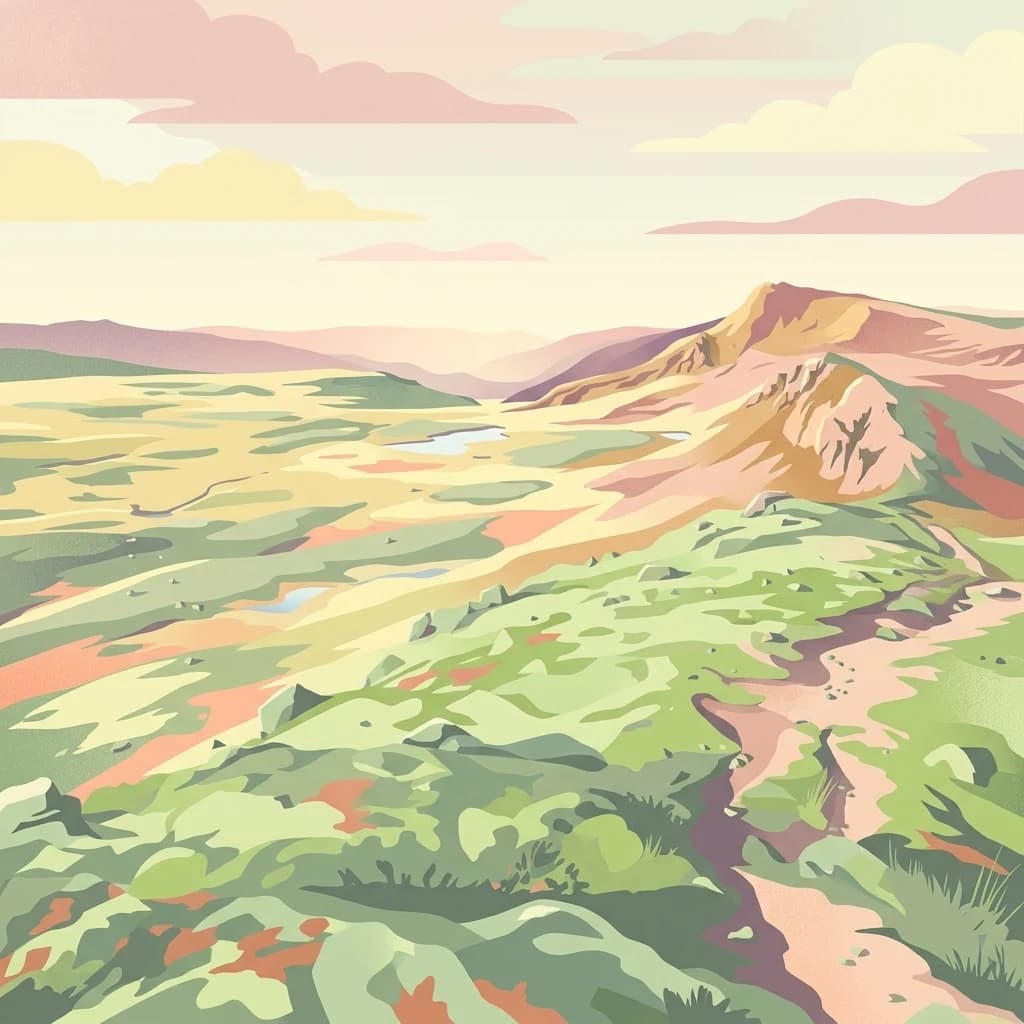
An illustrative depiction of a vast, hilly alpine landscape with a winding trail leading through green meadows, small ponds, and rocky slopes under a soft, sunset-toned sky.
National parkNorway
About 260 km away#20 closest

Northeast

Forollhogna National Park: Norway's Gently Rolling Alpine Protected Landscape Atlas

Explore unique terrain and vital wild reindeer habitat in Central Norway.

MoriAtlas provides structured geographic context for Forollhogna National Park, Norway's nineteenth national park. This area is best known for its distinctively gentle, rolling alpine terrain, a contrast to other Norwegian mountain ranges, and as a critical habitat for wild reindeer. Discover the park's unique landscape character, its role as a protected area, and the ongoing cultural traditions tied to its mountain pastures, all visualized within a comprehensive atlas framework.

Area
1,062 km²
Established
2001
IUCN
II
Relief
Mountain
Distance methodology

Geographic measurements, not driving distances

How nearby park distances are calculated

Distances use park boundaries whenever the available geometry allows it. When one or both boundaries are missing, the mapped park locations provide a clearly labelled estimate. Every value represents straight-line geographic separation and does not use roads or routing.

Boundary distance

Calculated between the nearest points of both park boundaries.

Location-to-boundary estimate

Estimated from one mapped park location to the nearest boundary of the other park.

Mapped-location estimate

Estimated between the mapped locations of both parks.

MoriAtlas Explorer

Continue Exploring Hallingskarvet National Park's Protected Landscape and Geography

Delve deeper into the atlas-defined features of Hallingskarvet National Park. Understand its position within Norway's protected areas network and its unique glacial and alpine landscape characteristics. By examining its mapped terrain and regional context, you can build a more comprehensive appreciation for this significant natural area and its ecological significance.

Global natural geography