Mori Atlas logo
Nearby park discovery

Mapping the surrounding mountain terrain and protected territory of north-central Nepal

Regional Protected Areas and Geographic Landscapes Near Langtang National Park

Discover the complex geographic distribution of protected areas adjacent to Langtang National Park. This overview provides a clear map of neighboring Himalayan landscapes and high-altitude wilderness, helping to visualize how these natural spaces connect within the broader mountain geography of Nepal.

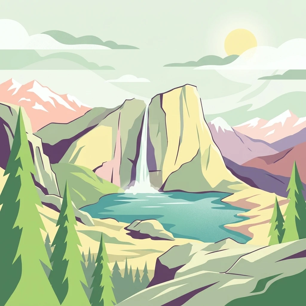
Illustration of mountain landscape with waterfall, lake, pine trees, and rocky terrain under a sunlit sky

Nepal's first Himalayan national park, guarding a dramatic valley of high peaks, sacred lakes, and rich cultural heritage

Langtang National Park

Langtang National Park is a protected wilderness area in north-central Nepal, established in 1976 as the country's first Himalayan national park and fourth protected area. The park spans approximately 1,710 square kilometers across the Nuwakot, Rasuwa, and Sindhulpalchok Districts in the central Himalayan region. It encompasses the renowned Langtang Valley, a glaciated high-altitude landscape flanked by dramatic mountain terrain that includes the summit of Langtang Lirung at 7,245 meters, the park's highest point. The protected area is part of the Sacred Himalayan Landscape, a transboundary conservation initiative linking protected areas across Nepal and the Tibet Autonomous Region. Twenty-six village communities reside within the park boundaries, maintaining traditional livelihoods amid one of Nepal's most ecologically diverse mountain environments.

Location
Nepal
Park type
National park
Established
1976
Area
1,710 km²
Highest point
7,245 m
Langtang National Park protected landscape
Regional park map

See the ranked park cluster in its geographic setting

Nearby parks around Langtang National Park

This regional map shows the same 20 nearby parks ranked below around Langtang National Park. Select a ranked marker to highlight that park’s boundary where boundary data is available.
Reference park: Langtang National ParkRanked nearby parkSelected boundary: Langtang National Park20 nearby parks shown
20 nearby parks

Distance-ranked conservation areas and regional park geography

Parks and Protected Areas Geographically Near Langtang National Park

Spatial separation and directional metrics organize nearby protected areas into a structured collection for comparing surrounding regional park geography. Evaluating recorded environmental characteristics alongside country context reveals broader conservation patterns across adjacent mountain landscapes.
National parkNepal
About 21 km away#1 closest

South

Shivapuri Nagarjun National Park: National Park Mapping and Geographic Identity in Nepal

Explore protected boundaries and natural terrain.

Shivapuri Nagarjun National Park serves as a prime example of a protected natural area within Nepal, offering valuable geographic context for atlas exploration. This detail page provides insights into the park's mapped boundaries, its designation as a national park, and its place within the country's diverse natural landscapes. Understanding the terrain and regional distribution of protected areas like Shivapuri Nagarjun National Park is crucial for a comprehensive geographic perspective.

Area
159 km²
Established
2002
IUCN
II
Relief
Mountain
National parkKoshi Province
63 km away#2 closest

East

Sagarmatha National Park: Mapped Protected Landscape and Geographic Identity in Koshi Province

Explore the protected area's regional geographic context.

Sagarmatha National Park serves as a distinct protected national park entity. This page facilitates an in-depth understanding of its mapped boundaries and its location within Koshi Province. Users can explore the park's specific landscape characteristics and its position within the broader regional geography, providing a foundation for atlas and map-driven discovery.

Area
1,148 km²
Established
1976
IUCN
II
Visitors
19K annual
National parkNepal
70 km away#3 closest

Southwest

Chitwan National Park: Nepal's Designated National Park Landscape

Explore mapped boundaries and surrounding regional geography.

Chitwan National Park is a vital protected area offering critical insights into Nepal's natural geography. This entry provides detailed information on the park's specific landscape characteristics and its mapped boundaries, crucial for anyone interested in the atlas-level understanding of protected lands within South Asia. Discover the geographic context of this national park and its significance within the broader conservation framework of Nepal.

Area
952.63 km²
Established
1973
IUCN
II
Relief
Mixed relief
National parkNepal
About 105 km away#4 closest

Southwest

Parsa National Park: Mapped Protected Landscape Within Nepal's Geography

Explore its national park status and geographic setting.

Parsa National Park represents a significant protected area within the geographic framework of Nepal. This page provides critical atlas context, detailing the park's mapped boundaries and its role as a national park. It serves as an essential resource for understanding the specific landscape features and regional geographic positioning of Parsa National Park, contributing to a structured view of protected lands across South Asia.

Area
627.39 km²
Established
2017
IUCN
II
Relief
Lowland
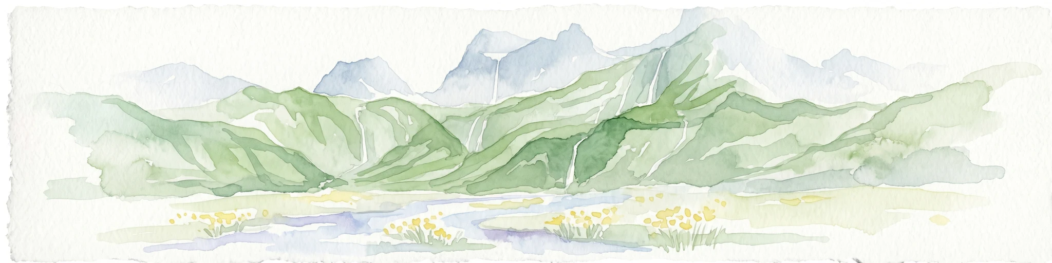
Watercolor illustration of mountain landscape with green slopes and blue peaks, showing a valley with yellow flowers in the foreground
National parkKoshi Province
About 127 km away#5 closest

East

Makalu Barun National Park: Protected Landscape and Regional Geography in Koshi Province

Explore the mapped boundaries of this national park.

Makalu Barun National Park is a designated national park providing critical protected landscape data for geographic discovery. Understand its position within Koshi Province and its specific mapped boundaries, offering insights into Nepal's protected areas. This entry is designed for users seeking detailed atlas information on the park's terrain and its role in regional conservation contexts.

Area
1,500 km²
Established
1992
IUCN
II
Relief
Mountain
National parkWest Champaran District
About 128 km away#6 closest

Southwest

Valmiki National Park: A Vital National Park and Protected Landscape in Bihar

Explore unique Sivalik terrain and mapped protected area boundaries

Valmiki National Park, located in the West Champaran District of Bihar, is a significant protected area renowned for its unique geography. Situated at the interface of the Himalayas and the Gangetic plains, the park showcases a varied terrain including ridges, gorges, dense forests, and extensive wetlands. As Bihar's only national park and a designated tiger reserve, it offers rich insights into conservation landscapes and regional biodiversity for atlas exploration.

Area
898.45 km²
Established
1990
IUCN
II
Relief
Mixed relief
National parkSikkim
222 km away#7 closest

East

Khangchendzonga National Park: National Park in Sikkim with Mapped Boundaries

Explore protected landscapes and regional geography.

Understand Khangchendzonga National Park as a key protected area within Sikkim, India. This entry provides focused atlas information on the park's geographic features, mapped boundaries, and its role as a national park, offering essential context for regional landscape discovery and exploration.

Area
1,784 km²
Established
1977
IUCN
II
Relief
Mountain
Wildlife reserveUttar Pradesh
236 km away#8 closest

Southwest

Bakhira Wildlife Sanctuary: Geographic Overview of India's Major Floodplain Wetland

Mapped wetlands and protected landscape context in Uttar Pradesh

Located in the heart of the Indo-Gangetic plain, Bakhira Wildlife Sanctuary features a complex network of seasonal water bodies and marshes. The sanctuary acts as a primary staging ground for migratory waterfowl, offering deep insights into floodplain hydrology, regional biodiversity, and the interplay between protected wilderness and active agricultural zones.

Area
29 km²
Established
1980
IUCN
IV
Relief
Lowland
National parkNepal
238 km away#9 closest

Northwest

Shey Phoksundo National Park: Nepal's Largest Trans-Himalayan Protected Landscape with Phoksundo Lake

Explore alpine terrain and unique protected ecosystems.

Delve into the geographical distinctiveness of Shey Phoksundo National Park, Nepal's expansive protected area. This park is defined by its dramatic elevation changes and the striking Phoksundo Lake, a vivid turquoise alpine reservoir set against barren, mountainous terrain. Understanding its trans-Himalayan setting and protected landscape context reveals its importance within the broader atlas of global natural areas.

Area
3,555 km²
Established
1984
IUCN
II
Relief
Mountain
National parkDarjeeling District
About 241 km away#10 closest

Southeast

Singalila National Park: A High-Altitude Protected Landscape on the Eastern Himalayan Ridge

Explore mapped terrain and alpine park geography in Darjeeling District.

Singalila National Park represents a crucial protected natural landscape within the Eastern Himalayas, located in India's Darjeeling District. Defined by its dramatic ridgeline that ascends to over 4,000 meters, the park offers a unique alpine environment with stunning panoramic views. Its designation as a national park highlights its importance for conservation and its role in the regional geographic atlas. Discover the mapped boundaries and ecological context of this remarkable mountain wilderness, from its dense forests to its open alpine meadows.

Area
78.6 km²
Established
1986
IUCN
II
Relief
Mountain
National parkKalimpong district
296 km away#11 closest

East

Neora Valley National Park: India's Protected Landscape in Kalimpong District

Explore mapped boundaries and regional geography.

Neora Valley National Park is a significant protected area designated as a national park in India, located within the Kalimpong district. This dedicated page provides detailed geographic information, focusing on its mapped boundaries and its role as a natural landscape within the region. Understand the specific protected-area context of Neora Valley National Park for atlas-based discovery.

Area
88 km²
Established
1986
IUCN
II
Relief
Mountain
Wildlife reserveUttar Pradesh
321 km away#12 closest

West

Parvati Arga Bird Sanctuary: Wetland Geography and Protected Area Atlas of Uttar Pradesh

Examining oxbow lakes and freshwater habitat boundaries

Located in northern India, Parvati Arga Bird Sanctuary encompasses a vital mosaic of freshwater oxbow lakes and surrounding deciduous woodland. The sanctuary serves as a key conservation area within Uttar Pradesh, protecting essential waterbird habitats and demonstrating the complex hydro-geography of the Gangetic plain through its crescent-shaped lakes and marshy margins.

Area
10.84 km²
Established
1990
IUCN
IV
Relief
Lowland
National parkNepal
About 323 km away#13 closest

West

Banke National Park: Nepal National Park with Distinct Protected Landscape Geography

Explore the mapped terrain and regional atlas context of Banke National Park.

Banke National Park represents a vital protected area within Nepal's diverse geography, offering a focused point for atlas and map-based discovery. As a national park, its designated status highlights its importance in conserving natural landscapes and understanding regional protected-area distribution across South Asia. This entry provides detailed geographic context, enabling users to explore the park's mapped boundaries and appreciate its role within Nepal's broader natural territory.

Area
550 km²
Established
2010
IUCN
II
Relief
Upland
Nature reserveBhutan
About 325 km away#14 closest

East

Torsa Strict Nature Reserve: Bhutan Nature Reserve Protected Landscape Discovery

Mapped geography and protected boundaries within the Eastern Himalayas.

Torsa Strict Nature Reserve represents a vital component of Bhutan's protected natural areas. This detail page offers a structured exploration of its identity as a nature reserve, focusing on its geographic placement within the country and the surrounding Himalayan terrain. Users can investigate the mapped outlines of this protected landscape, gaining a clearer understanding of its regional context and its significance for atlas-driven geographic discovery.

Area
609.51 km²
Established
1993
Relief
Mountain
Scope
Terrestrial
National parkJalpaiguri district
About 327 km away#15 closest

Southeast

Gorumara National Park: India National Park Atlas and Protected Landscape Geography

Discover the mapped boundaries and regional terrain.

Gorumara National Park stands as a vital protected natural area within India's Jalpaiguri district. This entry provides detailed atlas-focused information, detailing the park's geographic identity and its position within the regional landscape context. Understand the mapped protected boundaries and explore the unique terrain that characterizes Gorumara National Park as a key national park entity. It serves as a foundational point for geographic discovery within India's network of protected lands.

Area
79.99 km²
Established
1992
IUCN
II
Relief
Mixed relief
National parkBhutan
334 km away#16 closest

East

Jigme Dorji National Park: Bhutan's Vast Protected Landscape and Himalayan Geography

Explore mapped boundaries and diverse ecosystems within this national park.

Jigme Dorji National Park, located in the heart of Bhutan, is a testament to the country's commitment to conservation, covering over 4,300 square kilometers of pristine Himalayan terrain. This national park encompasses diverse ecosystems, from lush subtropical forests in its lower reaches to barren alpine meadows and permanent snowfields at its highest elevations. The park's extensive mapped boundaries showcase a landscape vital for unique wildlife and sacred cultural sites, offering a comprehensive view for atlas-based geographic discovery.

Area
4,316 km²
Established
1974
IUCN
II
Relief
Mountain
National parkNepal
338 km away#17 closest

Northwest

Rara National Park: Nepal's National Park with Mapped Protected Landscape Context

Discover its geographic setting and park boundaries

Rara National Park is a key protected area within Nepal, offering a distinct focus for geographic exploration. This page details its identity as a national park, highlighting its mapped boundaries and its contribution to the country's atlas of natural landscapes. Understand the park's specific role and regional geographic context, providing a solid foundation for atlas-driven discovery of Nepal's protected areas.

Area
106 km²
Established
1976
IUCN
II
Relief
Mountain
National parkBangladesh
About 358 km away#18 closest

Southeast

Singra National Park: Bangladesh National Park Atlas and Protected Landscape Context

Mapped geographic identity of a protected national park.

Singra National Park is a significant protected area in Bangladesh, identified as a national park. This platform facilitates an atlas-style exploration of its geographic placement and protected landscape characteristics. Users can discover its mapped boundaries and understand its context within the regional geography of South Asia, contributing to a comprehensive understanding of national park significance.

Area
3.057 km²
Established
2010
Relief
Lowland
Climate
Tropical
National parkBardiya District
About 365 km away#19 closest

West

Bardiya National Park: Nepal's Expansive Terai Protected Landscape and Atlas

Mapped geography, tiger habitat, and rhino conservation in Bardiya District.

Bardiya National Park represents a significant protected area within Nepal's Terai lowlands, providing an exceptional resource for geographic discovery. Its diverse terrain, including vast grasslands and dense forests bisected by major river systems like the Karnali and Babai, creates unique ecosystems. As the largest national park in Nepal, it is instrumental in mapping wildlife corridors and understanding regional landscape dynamics, particularly for endangered species such as Bengal tigers and Indian rhinoceroses. This park offers a profound glimpse into the mapped natural heritage of the Bardiya District.

Area
968 km²
Established
1988
IUCN
II
Relief
Mixed relief
Watercolor illustration showing a landscape with grassy areas, trees, and distant mountains under a pinkish sky
National parkDinajpur District
About 369 km away#20 closest

Southeast

Birgonj National Park: Protected Sal Forest Landscape in Dinajpur District, Bangladesh

Explore mapped boundaries and regional geographic context.

Birgonj National Park, located in Dinajpur District, offers a focused exploration of a protected sal forest ecosystem. As a designated National Park in Bangladesh, it preserves a significant area of Shorea robusta forest, providing valuable insight into deciduous forest landscapes and their conservation. This park serves as a critical reference point for understanding protected areas within northern Bangladesh and their role in regional geographic context, making it an important destination for atlas-based discovery of natural landscapes.

Area
1.686 km²
Established
2011
IUCN
IV
Climate
Tropical
Distance methodology

Geographic measurements, not driving distances

How nearby park distances are calculated

Distances use park boundaries whenever the available geometry allows it. When one or both boundaries are missing, the mapped park locations provide a clearly labelled estimate. Every value represents straight-line geographic separation and does not use roads or routing.

Boundary distance

Calculated between the nearest points of both park boundaries.

Location-to-boundary estimate

Estimated from one mapped park location to the nearest boundary of the other park.

Mapped-location estimate

Estimated between the mapped locations of both parks.

MoriAtlas Explorer

Continue Exploring Langtang National Park's Protected Landscape and Geographic Context

Deepen your understanding of Langtang National Park by exploring its specific mapped boundaries, diverse alpine ecosystems, and position within the wider Himalayan geography. Discover the unique atlas-level details that make this protected area a key point of reference for Nepal's natural heritage and conservation efforts.