East
Lower Zambezi National Park
Lusaka Province National Park Landscape Context
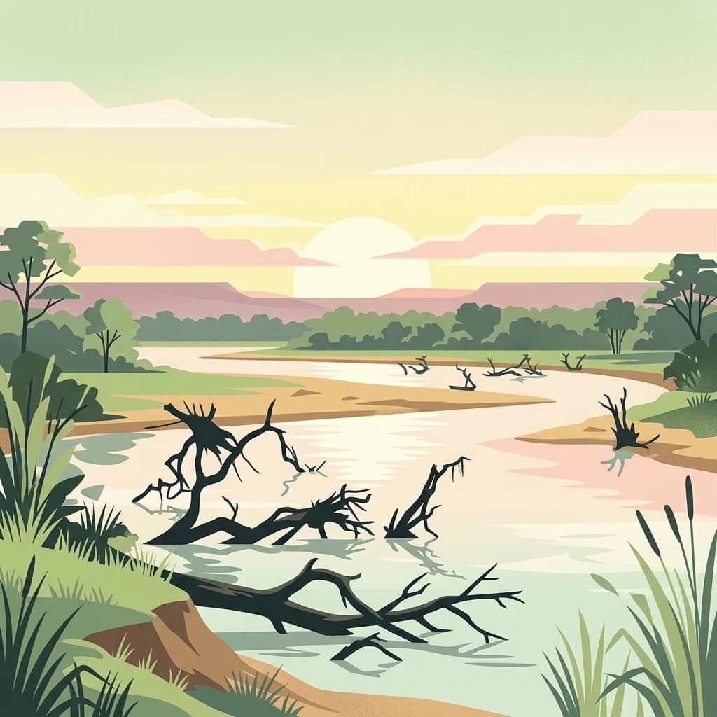
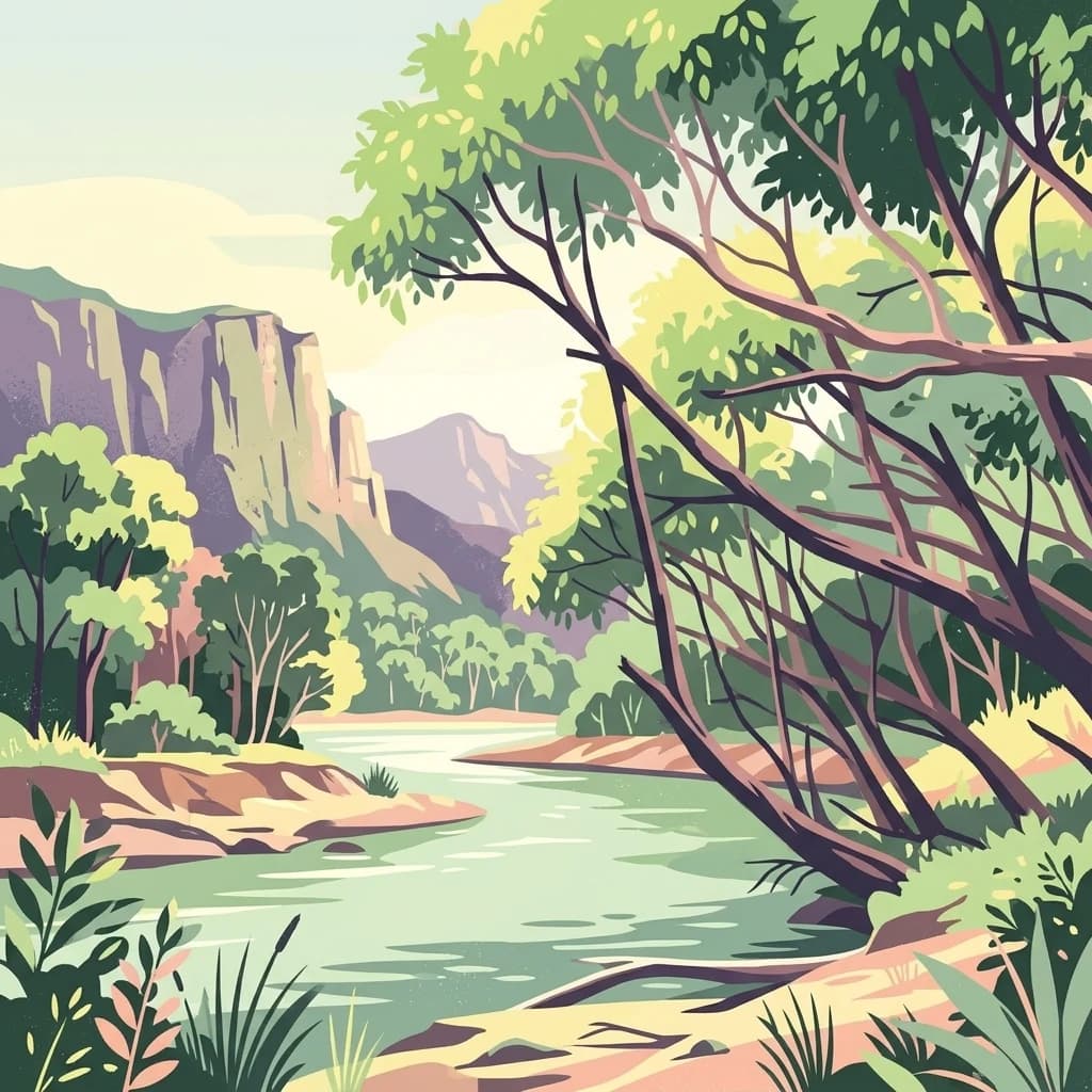
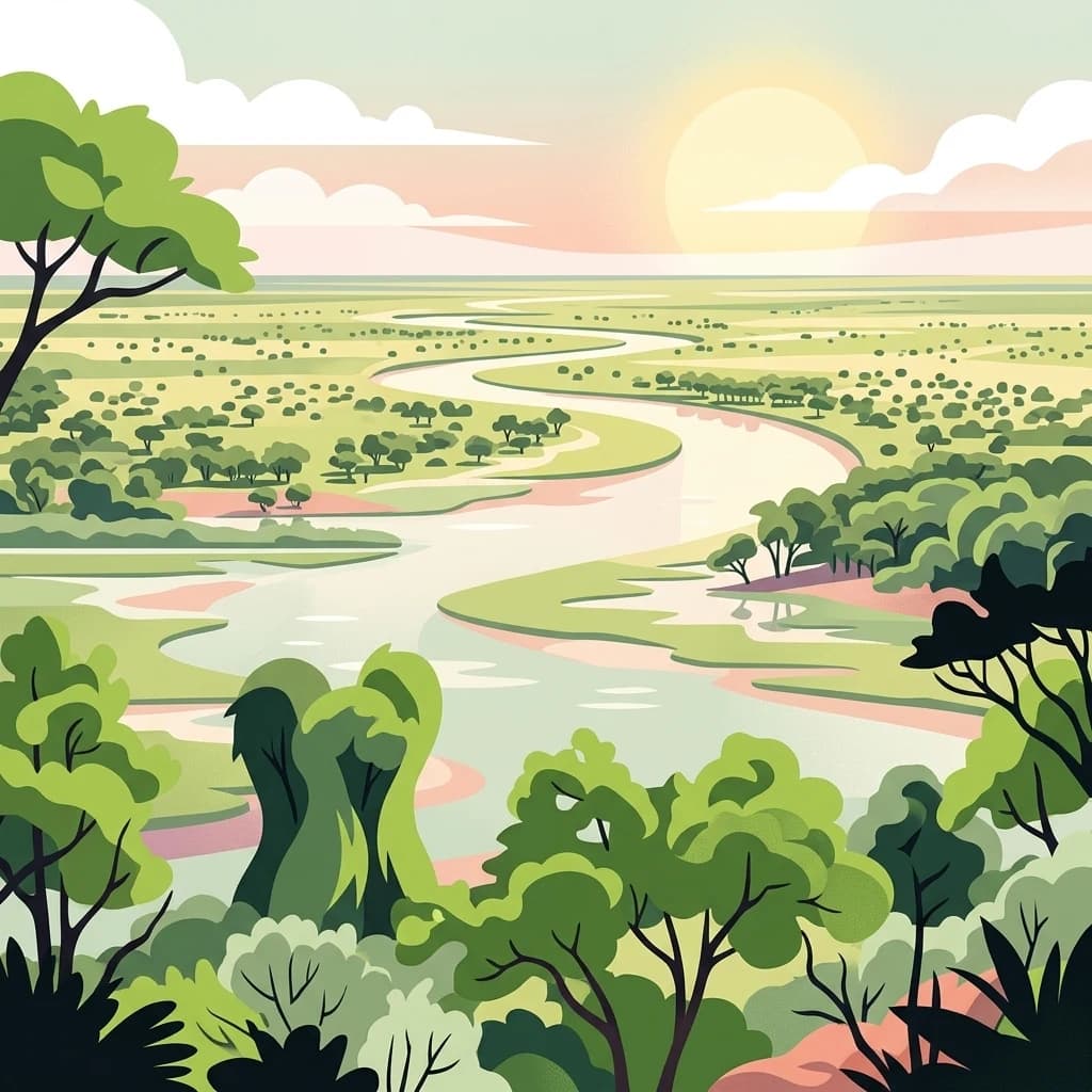
Lower Zambezi National Park, in Lusaka Province, Zambia. Landscapes: rivers, cliffs, and wetlands.
- Area
- 4,092 km²
- Established
- 1983
- IUCN
- II
- Relief
- Mixed relief
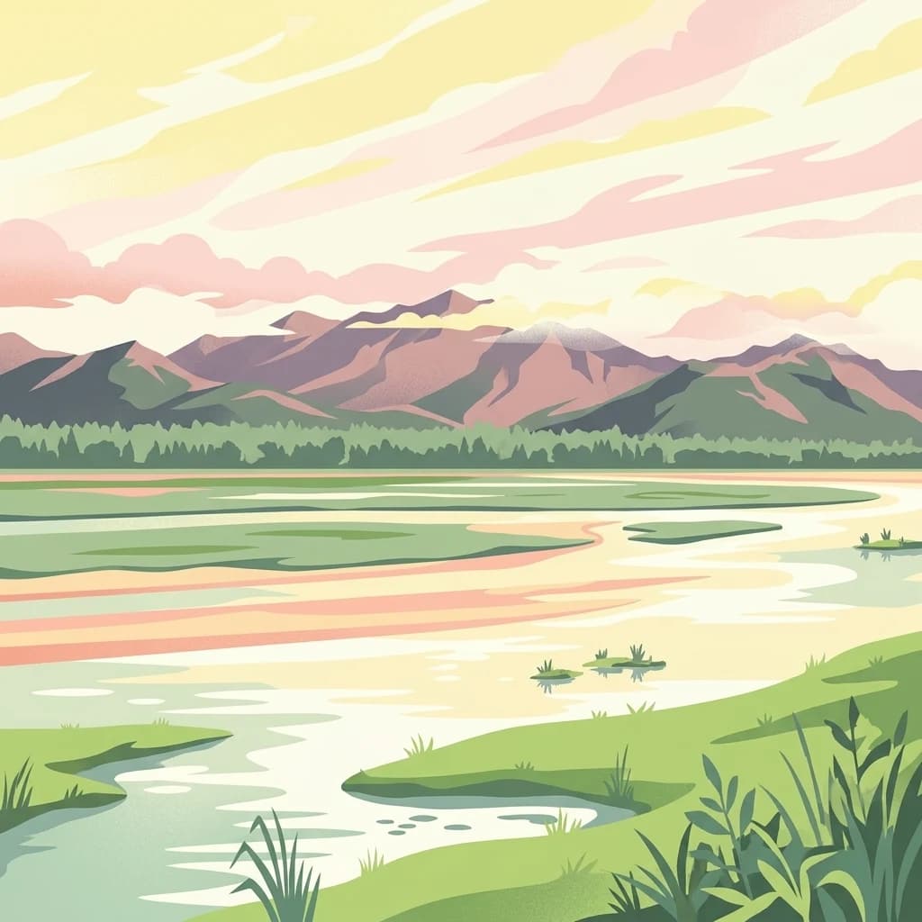
Mapping the surrounding natural landscapes and protected terrain in Zambia
Trace the spatial relationship between Lusaka National Park and the broader network of protected landscapes across the central Zambian plateau. This geographic overview highlights neighboring parks and wilderness areas to illustrate the regional distribution of protected terrain near the capital.
Related tags
Zambia's smallest and newest national park, a wilderness pocket on the doorstep of the capital
Lusaka National Park is Zambia's newest and smallest national park, established in 2011 and officially opened to the public in 2015. Covering an area of 6,715 hectares (67.15 square kilometers), the park is located in Kafue District, Lusaka Province, situated to the south-east of Zambia's capital city, Lusaka. The park was created over what was previously designated as the Lusaka South Local Forest, transforming a former forest reserve into the country's newest protected wilderness area. Entirely fenced, the park sits adjacent to the Lusaka South Multi-Facility Economic Zone, representing a unique example of urban-proximate conservation in southern Africa. As Zambia's smallest national park, it offers a compact but significant protected area that provides residents and visitors with accessible wildlife experiences near the capital.
See the ranked park cluster in its geographic setting
Distance ranked collection and regional geography comparison signals
East
Lusaka Province National Park Landscape Context
Lower Zambezi National Park, in Lusaka Province, Zambia. Landscapes: rivers, cliffs, and wetlands.

East
Explore a World Heritage protected area with iconic baobab forests.
Mana Pools National Park, in Zimbabwe. Landscapes: rivers, lakes, and wetlands.
West
Discover the protected landscape and fauna of Zambia's Kafue Flats.
Blue Lagoon National Park is a critical protected area recognized for its unique wetland and floodplain environment within South Africa's extensive Kafue Flats system. Established in 1976, this national park offers significant opportunities for atlas-driven exploration of its mapped geography and protected landscape. Visitors can learn about the park's ecological significance, its characteristic terrain of lagoons and marshes, and its importance as a sanctuary for endemic wildlife and diverse bird species, contributing valuable context to the broader regional atlas.
West
Explore its unique wetland geography and protected area boundaries.
Lochinvar National Park in Zambia is a vital protected landscape characterized by extensive floodplains and seasonal wetlands along the Kafue River. As a national park, it safeguards the unique ecosystem of the Kafue Flats, renowned for hosting massive herds of endemic Kafue lechwe and a remarkable diversity of bird species, exceeding 400 recorded. The park's terrain varies from open marshes and lagoons like Chunga Lagoon to drier woodlands dotted with termite mounds and low hills, providing a geographically rich environment for detailed atlas exploration and landscape context.
South
Mapped boundaries and regional terrain for Matusadona National Park.
Matusadona National Park presents a vital component of Zimbabwe's protected land inventory. This detail page offers an atlas-centric view, highlighting the park's mapped geographic features and its distinct landscape character. It is designed to facilitate a structured understanding of Matusadona National Park as a specific protected area, providing essential context for regional geography and natural landscape exploration without delving into visitor logistics or park operations.

West
Mapped boundaries and landscape context in southern Africa.
Kafue National Park represents a vital component of Zambia's protected lands, offering a distinct perspective for atlas-driven geographic exploration. This national park's identity is tied to its extensive mapped boundaries and its contribution to the regional landscape of southern Africa. Users engaging with this entry can uncover the protected area's specific geographic context and map-based details, enhancing their understanding of conservation landscapes.

South
Explore rugged mountains, deep gorges, and unique woodland ecosystems.
Chizarira National Park offers an unparalleled exploration of wilderness and dramatic geography within Zimbabwe. Situated along the imposing Zambezi Escarpment, its landscape is characterized by a 600-meter drop, rugged mountains, and deep river gorges carved by perennial streams. This protected area, known for its remote appeal and rich leopard populations, provides a distinct view of miombo and mopane woodlands, contributing to its unique ecological identity within the regional geography.

Northeast
Explore mapped boundaries and regional context within this Zambian protected area.
South Luangwa National Park represents a vital national park within Zambia, offering a distinct focal point for atlas-based geographic exploration. This dedicated entry details the park's mapped area and its integration into the surrounding Zambian geography. Users seeking to understand protected landscapes, regional park distributions, and natural terrain context will find South Luangwa National Park a key reference for detailed mapping and landscape analysis.

Southwest
Mapped boundaries and protected landscape context in Southern Province, Zambia.
Mosi-oa-Tunya National Park, in Southern Province, Zambia. Landscapes: forests, woodlands, and grasslands.

Northeast
Explore protected landscape boundaries and regional context
Kasanka National Park is a vital protected area situated in Zambia's Central Province. This entry provides detailed geographic context, focusing on its mapped boundaries and its significance as a national park within the larger atlas of protected lands. Users can explore the terrain and natural landscape characteristics that define this specific conservation area and its regional setting.
Southwest
National Park with distinct geographic and landscape context.
Hwange National Park, in Matabeleland North, Zimbabwe. Landscapes: forests, woodlands, and grasslands.

Southwest
Atlas exploration of park boundaries and natural terrain.
Victoria Falls National Park is a key component of Zimbabwe's protected natural areas. This page provides structured information ideal for atlas-based exploration, detailing the park's geographic position and mapped landscape features. Understand its significance as a national park and its contribution to the region's conservation geography.
East
Discover the mapped boundaries and regional geography of this protected area.
Magoe National Park serves as a crucial national park within Tete Province, providing a defined space for exploring regional geography and landscape features. This entry focuses on understanding the park's protected status and its mapped territories, offering valuable context for atlas and geographic research. Examine its location and boundaries to appreciate its role as a protected natural landscape within Mozambique.
Southwest
Explore mapped boundaries and protected area context.
Delve into Zambezi National Park, a designated national park situated in Hwange District. This entry provides foundational geographic and landscape context, highlighting the park's protected status and its position within the regional terrain. Understand the atlas significance and mapped features of this conservation landscape for informed discovery.
Southwest
Unique plains landscape with reliable dry-season wildlife viewing.
Kazuma Pan National Park offers a rare glimpse into Zimbabwe's expansive grassy plains and vital pans, creating a unique protected landscape. This national park is critical for understanding regional wildlife migrations and the geographic context of conservation areas in northwestern Zimbabwe, providing an essential entry point for atlas-based exploration of its terrain and ecological significance.

Southwest
Discover Botswana's diverse protected areas and unique savanna wetlands.
Chobe National Park, in Botswana. Landscapes: wetlands, forests, and woodlands.
Northeast
Discover its regional geography and landscape context.
Lavushi Manda National Park represents a distinct protected landscape within Muchinga Province, Zambia. This page provides detailed insights into its geographic identity, mapped park boundaries, and its placement within the broader regional terrain. Utilize this resource for structured atlas exploration of the park's natural context and its significance as a conservation area, offering a foundation for understanding its environmental setting.
North
Explore the mapped terrain and dramatic geography of this Haut-Katanga Province protected area.
Kundelungu National Park stands as a significant protected area within the Haut-Katanga Province, offering a deep dive into Central Africa's expansive savanna ecosystems and unique natural landmarks. This national park is defined by its rolling grasslands, dotted with characteristic forest galleries that trace the region's water systems, alongside the awe-inspiring Lofoi Falls. Understanding Kundelungu National Park through its mapped boundaries and geographic context reveals its importance as a protected landscape and a key component of regional conservation efforts within the DRC.
Northwest
Discover rare Cryptosepalum dry forests and unique mapped geography.
West Lunga National Park offers a distinct atlas exploration opportunity as Zambia's only national park primarily defined by its forest cover. This remote protected area safeguards the largest evergreen forest in Africa outside the equatorial zone, characterized by dense Cryptosepalum trees forming a closed canopy over sandy terrain. Understand the park's unique landscape, its geographic position within the region, and its importance as a conservation area with mapped protected boundaries.
Northeast
Mapped protected area and regional landscape identity for Lukusuzi.
Gain detailed insights into Lukusuzi National Park, a key protected area in Zambia, through its geographic setting and mapped boundaries. This page provides essential context for understanding the park's landscape character and its significance within the national park atlas. Explore the fundamental protected-area geography of this distinct Zambian natural landscape.
Geographic measurements, not driving distances
Calculated between the nearest points of both park boundaries.
Estimated from one mapped park location to the nearest boundary of the other park.
Estimated between the mapped locations of both parks.
Deepen your understanding of Lusaka National Park by examining its specific protected area boundaries and its characteristic woodland terrain within Lusaka Province. Discover how this compact, urban-proximate conservation area fits into the broader atlas of Zambian natural landscapes. This park offers a focused lens on central African protected lands, providing valuable geographic context for further exploration of the region's wild spaces.