West
Henderson Island
Remote coral atoll located in the Pitcairn Islands
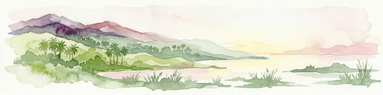
Henderson Island, in Pitcairn Islands. Landscapes: cliffs, forests, and coasts.
- Area
- 37.3 km²
- Established
- 1902
- Relief
- Lowland
- Climate
- Tropical
Explore the regional geography, surrounding protected landscapes, and park distribution
Investigate the geographic distribution of protected areas and national parks situated within the vicinity of Rapa Nui National Park on Easter Island. This regional view provides clear insights into the surrounding terrain, coastal formations, and volcanic landscape context that defines this isolated area of the southeastern Pacific Ocean. Analyze the spatial relationships between these significant conservation landscapes through an integrated map-based perspective.

Remote Polynesian island preserve of ancient moai statues and volcanic landscapes
Rapa Nui National Park encompasses most of Easter Island, a remote Polynesian territory in the southeastern Pacific Ocean belonging to Chile. The park protects one of the world's most remarkable archaeological landscapes, featuring 887 monumental stone statues called moai that were carved by the Rapa Nui people between 300 and 1200 AD. The island forms the eastern geographic and cultural boundary of Polynesia and is among the most isolated inhabited places on Earth, situated roughly 3,700 kilometers west of Chile and 2,200 kilometers east of Pitcairn Island. In 1995, UNESCO designated the park a World Heritage Site under cultural criteria recognizing its extraordinary artistic achievement, its cultural significance, and its harmonious relationship between human community and landscape. The park is now administered by the Ma'u Henua Indigenous Community, representing the first autonomous indigenous management of a Chilean protected area.
See the ranked park cluster in its geographic setting
Distance ranked collection and regional park geography for comparative environmental analysis

West
Remote coral atoll located in the Pitcairn Islands
Henderson Island, in Pitcairn Islands. Landscapes: cliffs, forests, and coasts.

East
Explore extreme endemism within a remote Biosphere Reserve.
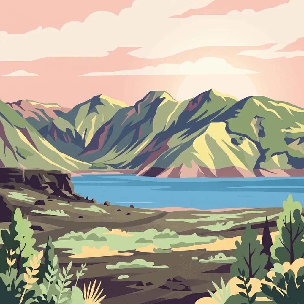
Archipiélago de Juan Fernández National Park, in Valparaíso Region, Chile. Landscapes: mountains, forests, and woodlands.

Northeast
Explore unique endemic species and mapped landscapes of the Galápagos Islands.
Volcanic islands support distinctive wildlife, including giant tortoises, marine iguanas, and flightless cormorants.

Southeast
Discover mapped terrain and unique Valdivian ecosystem geography.
Alerce Costero National Park stands as a significant protected landscape in Chile's Los Ríos Region, celebrated for its ancient Fitzroya trees and as a sanctuary for the Valdivian temperate rainforest. The park's protected boundaries encompass rugged terrain within the Cordillera Pelada, offering insights into unique watershed geography and the resilience of an ancient forest ecosystem. Its diverse landscape, a mosaic of old-growth woods and natural clearings, provides essential habitat and a remarkable geographic context for atlas exploration.

Southeast
Discover its mapped boundaries atop the Cordillera de Nahuelbuta.
Nahuelbuta National Park is a significant national park in Chile's La Araucanía Region, celebrated for its ancient monkey puzzle tree forests atop the Cordillera de Nahuelbuta. This protected area showcases a unique highland landscape with rugged terrain and exposed rocky outcrops, preserving species more typical of Andean and Patagonian environments. Understanding its mapped geography and protected landscape identity is key to appreciating its ecological importance and distinct position within South America's natural atlas.

Southeast
Explore its unique protected landscape and regional geography.
Chiloé National Park represents a significant protected natural area within the Los Lagos Region of Chile. This detailed page offers an atlas-centric view, focusing on the park's mapped boundaries, its place in the regional geography, and the overall protected landscape character. Gain structured insight into this important component of southern Chile's conservation lands, ideal for geographic exploration and atlas context.

Southeast
Explore the mapped terrain and boundaries of this national park.
Isla Guamblin National Park provides essential context for understanding protected lands in Chile. This detail page offers a focused view on its geographic features and mapped natural landscape, crucial for atlas-based exploration and regional conservation studies. Discover the specific identity of this national park and its contribution to the mapped protected areas of South America.

Southeast
A National Park within Aysén del General Carlos Ibáñez del Campo Region.
Laguna San Rafael National Park stands as a key protected area within the vast geography of the Aysén del General Carlos Ibáñez del Campo Region. This entry provides an atlas-focused perspective, detailing the park's geographic significance, mapped natural landscapes, and its role as a vital conservation territory. Understand how this national park fits into the broader context of Patagonia's unique terrain and protected areas.

East
Explore mapped boundaries and regional natural landscape context.
Bosque de Fray Jorge National Park, in Coquimbo Region, Chile. Landscapes: hills, forests, and coasts.

Southeast
Explore the protected landscape and regional context of this park.
Tolhuaca National Park is a protected national park located in Chile, offering a distinct point for geographic and landscape discovery. This detailed view focuses on the park's mapped boundaries, its environmental setting within Chile, and its overall protected-area identity. Engage with structured data that clarifies its position in the broader atlas of natural landscapes, providing context for regional geography and conservation efforts.

Southeast
Mapped park boundaries and natural terrain in Los Lagos Region.
Delve into the protected area identity of Vicente Pérez Rosales National Park, a significant national park situated in Chile's Los Lagos Region. This detailed exploration focuses on understanding the park's geographic setting, its mapped landscape features, and its contribution to the regional atlas of protected territories. Discover the natural terrain and boundary context that define this unique Chilean landscape.

Southeast
Explore the national park's mapped boundaries and regional context.
Delve into the protected landscape of Alerce Andino National Park, a distinct national park entity situated in Chile's Los Lagos Region. This focus provides a clear understanding of its geographic setting, highlighting its importance within regional conservation efforts and offering a detailed view of its mapped terrain. Understand the park's place in the southern Chile geography through this detailed exploration.

Southeast
Explore Chile's dramatic Andean protected area.
Puyehue National Park is a key protected area in the Los Lagos Region of Chile, recognized for its distinctive volcanic landscapes and geothermal features. This detail page offers an atlas-centric view, highlighting the park's mapped boundaries, the terrain shaped by volcanoes like Puyehue, and its ancient temperate rainforest ecosystems. Understand its geographic context within the Andes and its significance as a protected national park.

Southeast
Discover unique terrain within La Araucanía Region's geography.
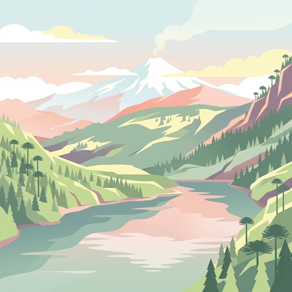
Conguillío National Park, in La Araucanía Region, Chile. Landscapes: mountains, valleys, and forests.

Southeast
Mapped boundaries and regional geography exploration
Villarrica National Park represents a crucial protected area within the diverse geography of Chile's La Araucanía Region. This atlas-focused entry provides detailed geographic context and mapped park boundaries, essential for understanding the park's landscape identity. Explore the foundational elements of this national park for structured geographic discovery.

East
Explore geographic boundaries and regional context.
Delve into the protected landscape identity of Las Palmas de Cocalán National Park, situated within the Libertador General Bernardo O'Higgins Region. This page provides detailed atlas-style information, focusing on the park's geographic features and its role as a national park. Understand the mapped natural terrain and the regional importance of this conserved area for comprehensive geographic discovery.

East
Explore its mapped terrain and regional geographic context.
La Campana National Park, in Valparaíso Region, Chile. Landscapes: mountains, valleys, and forests.

Southeast
Explore regional park geography and landscape context.
Laguna del Laja National Park represents a key protected area with distinct geographic attributes within the Bío Bío Region. This profile focuses on its identity as a national park, providing context for its mapped boundaries and natural landscape. Discover its place in regional geography, offering valuable insights for any atlas-focused exploration of Chile's protected lands.

Southeast
Detailed geography of Chile's remote coastal wilderness and marine estuaries
Corcovado National Park stands as a significant protected area in southern Chile, encompassing dramatic volcanic peaks and an extensive collection of glacial lakes. Its mapped boundaries reveal a remote wilderness where pristine temperate rainforests transition into the brackish estuaries of the Gulf of Corcovado, supporting vital marine ecosystems and critical blue whale populations.

Southeast
Mapped protected area in the Andean foothills of Southern Chile.
Delve into the protected landscape of Huerquehue National Park, a key component of Chile's southern conservation efforts within the La Araucanía Region. This national park is defined by its ancient araucaria forests, home to the iconic monkey puzzle tree, and a network of clear glacial lakes including Tinquilco Lake. Its mountainous terrain, rising from 720 to 2,000 meters, showcases a vital representative of the Andean-Patagonian forest ecosystem, offering rich context for map exploration and understanding protected-area geography.
Geographic measurements, not driving distances
Calculated between the nearest points of both park boundaries.
Estimated from one mapped park location to the nearest boundary of the other park.
Estimated between the mapped locations of both parks.
Deepen your understanding of Rapa Nui National Park by exploring its specific geography and mapped protected landscape. This canonical entry serves as a gateway to appreciating its regional setting on Easter Island and its significance within the broader atlas of global conservation areas. Discover more about the unique terrain and geographical attributes that distinguish this important national park.