Mori Atlas logo
Nearby park discovery

Geographic distribution of parks surrounding the Portalegre District range

Protected Areas and Natural Landscapes Near Serra de São Mamede Natural Park

Examine the network of protected landscapes and natural reserves situated within the geographic proximity of Serra de São Mamede Natural Park. This overview provides a clear look at the surrounding regional terrain and the spatial relationship between individual protected sites, mapping out the wider environmental context of this Alentejo region.

Stylized illustration of green mountains, a river, and forested valleys under a partly cloudy sky

Portugal's highest mountain range south of the Tagus River, protecting Atlantic and Mediterranean ecosystems

Serra de São Mamede Natural Park

Serra de São Mamede Natural Park is a protected landscape in northeastern Alentejo, Portugal, encompassing the country's highest mountain range situated south of the Tagus River. Established in April 1989, the park covers approximately 560 square kilometers across four municipalities: Portalegre, Castelo de Vide, Marvão, and Arronches. The area rises to over 1,000 meters at its highest point, creating a distinctive mountainous environment that stands in sharp contrast to the rolling plains characteristic of the Alentejo region. The park's ecological significance stems from its unique position at the convergence of Atlantic, Mediterranean, and even some central European plant communities, making it a biodiversity hotspot with over 800 documented plant species. This topographic and climatic diversity supports a rich faunal community including the endangered Iberian lynx and Iberian wolf, as well as important bird populations along migratory routes between Europe and Africa.

Location
Portugal
Park type
Protected landscape
Established
1989
Area
560.6 km²
Serra de São Mamede Natural Park Protected Landscape
Regional park map

See the ranked park cluster in its geographic setting

Nearby parks around Serra de São Mamede Natural Park

This regional map shows the same 19 nearby parks ranked below around Serra de São Mamede Natural Park. Select a ranked marker to highlight that park’s boundary where boundary data is available.
Reference park: Serra de São Mamede Natural ParkRanked nearby parkSelected boundary: Serra de São Mamede Natural Park19 nearby parks shown
19 nearby parks

Geographic separation and regional park context for comparative environmental analysis

Ranked Protected Areas and Nearby Parks Surrounding Serra de São Mamede Natural Park

Examine the ranked collection of nearby protected areas situated geographically close to Serra de São Mamede Natural Park using precise boundary measurements. Structured distance signals and recorded environmental characteristics provide an effective foundation for comparing surrounding regional landscapes.
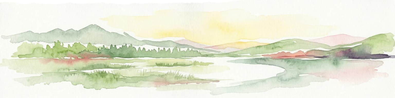
Watercolor illustration of a landscape with green mountains, a body of water, and colorful wildflowers in the foreground
Nature reservePortugal
73 km away#1 closest

North

Serra da Estrela Natural Park: Glacial Terrain and Highest Peaks in Portugal

Explore the dramatic geography of this nature reserve.

Serra da Estrela Natural Park is a significant protected landscape in Portugal, celebrated for containing the nation's highest peak and exceptional Quaternary glacial formations. The park's terrain includes dramatic valleys carved by ice, numerous glacial lakes, and a stark alpine plateau around Torre. This nature reserve preserves a unique environment shaped by both geological history and traditional pastoralism, offering rich mapped context for understanding Portugal's mountainous geography and protected areas.

Area
891.32 km²
Established
1976
IUCN
V
Visitors
7.6K annual
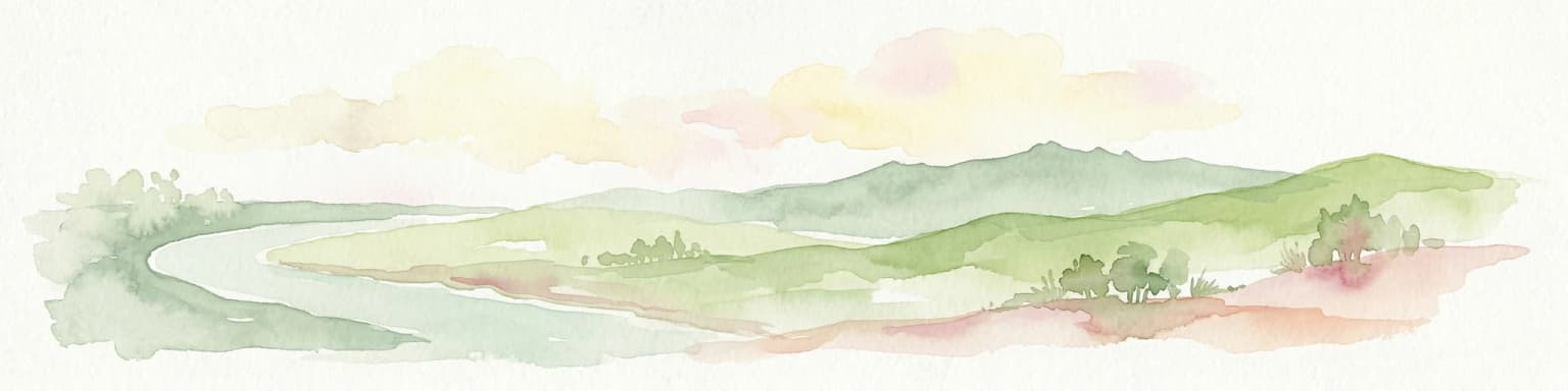
Watercolor illustration of a landscape with rolling hills, a body of water, and vegetation
Protected landscapePortugal
88 km away#2 closest

West

Aire and Candeeiros Ranges Natural Park: Protected Landscape and Regional Geographic Context

Explore the mapped boundaries and natural landscape of this Portuguese protected area.

Understand the Aire and Candeeiros Ranges Natural Park as a key protected landscape in Portugal. This page offers detailed geographic information, focusing on the park's mapped boundaries and its intrinsic connection to the surrounding regional geography. It serves as a portal for atlas exploration, providing structured data for users interested in the specific protected area and its landscape characteristics within the Iberian Peninsula.

Area
383.93 km²
Established
1979
IUCN
V
Visitors
31.9K annual
Watercolor painting of a river flowing through rolling hills with green fields and trees
National parkSpain
About 117 km away#3 closest

Northeast

Monfragüe National Park

Explore mapped terrain and regional geography within this Spanish National Park.

Monfragüe National Park, in Spain.

Area
179 km²
Established
2007
IUCN
II
Visitors
331.8K annual
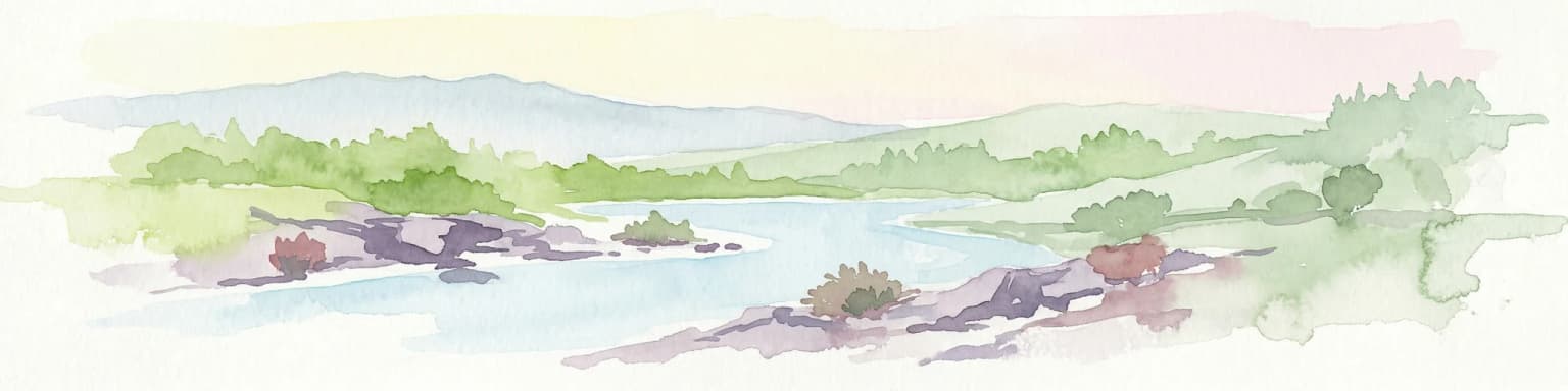
Watercolor illustration showing a river flowing through a valley with hills and vegetation
Protected landscapeBeja District
146 km away#4 closest

South

Guadiana Valley Natural Park: Protected Landscape Discovery in Beja District

Explore its mapped geography and protected land context.

Guadiana Valley Natural Park is identified as a protected landscape, providing a specific focus for geographic study and map-based exploration. This entry details the park's unique protected-area status and its contextual placement within the expansive Beja District of southern Portugal. Understand the mapped boundaries and landscape features that define this area, serving as a key point for regional geographic understanding on MoriAtlas.

Area
697 km²
Established
1995
IUCN
V
Visitors
749 annual
Watercolor illustration showing rolling hills, greenery, and distant mountains under a light sky.
Protected landscapePortugal
150 km away#5 closest

Southwest

Arrábida Natural Park

Mapped boundaries of this key Portuguese protected area.

Arrábida Natural Park, in Portugal. Landscapes: mountains, valleys, and forests.

Area
176.41 km²
Established
1976
IUCN
V
Visitors
23.1K annual
Watercolor painting showing rolling coastal hills with green vegetation, a body of water, and distant mountains under a light sky
Protected landscapeLisbon District
170 km away#6 closest

West

Sintra-Cascais Natural Park: Mapped Protected Landscape in Lisbon District, Portugal

Explore Atlantic coast geography and historic palatial terrain.

The Sintra-Cascais Natural Park is a designated protected landscape in Portugal's Lisbon District, renowned for its fusion of natural beauty and historical architecture. This page offers an atlas-style exploration of its mapped boundaries, showcasing the unique Serra de Sintra mountain range meeting the Atlantic coast. Discover the protected area's geographic features, from its lush forested slopes crowned with iconic palaces to the dramatic cliffs and beaches of Cabo da Roca, providing essential context for understanding this distinctive Portuguese natural landscape.

Area
144.51 km²
Established
1981
IUCN
V
Visitors
43.5K annual
Digital illustration of a rocky cliff with an ancient stone building overlooking a winding river valley and green hills under a soft sunset sky.
Biosphere reserveExtremadura
About 176 km away#7 closest

East

La Siberia Biosphere Reserve: Mapped Geography and Protected Lands of Extremadura

A study of reservoir coastlines and Mediterranean serranías

La Siberia Biosphere Reserve offers a deep look into the rural landscape of Extremadura, Spain. Characterized by five major reservoirs and vast Mediterranean oak dehesas, the area provides essential habitat for raptors and preserves significant prehistoric rock art within its complex serranía topography. Explore the geographic boundaries and water-dominated landscape of this distinct inland region.

Area
2,836.7 km²
Established
2019
Relief
Mountain
Climate
Mediterranean
A stylized digital illustration of a coastal cliffside scene with golden sandstone cliffs overlooking a calm sea and sandy beach.
Protected landscapeAlentejo Litoral
192 km away#8 closest

Southwest

Southwest Alentejo and Vicentine Coast Natural Park: A Protected Landscape in Alentejo Litoral

Explore its mapped boundaries and regional geographic context.

This detail page offers a deep dive into the Southwest Alentejo and Vicentine Coast Natural Park, a protected landscape situated in Portugal's Alentejo Litoral region. Understand the park's identity as a protected area through its geographic features and mapped extent. MoriAtlas facilitates a structured understanding of this natural landscape, enabling focused discovery of its protected boundaries and regional geographical significance.

Area
895.7 km²
Established
1988
IUCN
V
Visitors
12.7K annual
Watercolor landscape illustration featuring mountains, forests, fields, and trees
Protected areaPortugal
195 km away#9 closest

North

Alvão Natural Park Protected Area: Atlas Exploration of Northern Portugal's Mountain Geography

Discover dramatic landscapes and mapped terrain.

Alvão Natural Park is a protected area in northern Portugal distinguished by its stark geological contrasts: upper granite plateaus and steep schist lowlands. This unique geography supports diverse ecosystems and features the impressive Fisgas de Ermelo waterfall. Explore the park's mapped boundaries and its role as a significant protected landscape within the region, offering rich context for any geographic exploration.

Area
72.03 km²
Established
1983
IUCN
V
Visitors
29.6K annual
Watercolor painting showing green fields, scattered trees, and distant mountains under a light sky
National parkToledo Province
216 km away#10 closest

East

Cabañeros National Park

Mapped Geography of Montes de Toledo Protected Area

Cabañeros National Park, in Province of Toledo, Spain. Landscapes: mountains, valleys, and forests.

Area
409 km²
Established
1995
IUCN
II
Visitors
104.6K annual
Watercolor illustration of a river flowing through wetlands with trees and distant hills
National parkHuelva
228 km away#11 closest

South

Doñana National Park

Explore Huelva's key protected area and its regional geographic setting.

Doñana National Park, in Province of Huelva, Spain. Landscapes: dunes, wetlands, and beaches.

Area
543 km²
Established
1969
IUCN
II
Visitors
376.3K annual
Watercolor painting of sandy dunes with patches of grass, distant mountains, and a body of water under a light sky
Protected landscapeEsposende
235 km away#12 closest

Northwest

Northern Littoral Natural Park Protected Landscape: Geographic Discovery and Atlas Context

Mapped protected areas and regional landscape discovery near Esposende.

Uncover the geographic identity of Northern Littoral Natural Park, a key protected landscape situated near Esposende. This MoriAtlas entry focuses on its mapped boundaries and regional significance, providing a factual basis for understanding its role within Portugal's network of protected areas. Explore the park's natural terrain and its context within the broader geography of the Norte region for comprehensive atlas-based discovery.

Area
87.62 km²
Established
1987
IUCN
V
Relief
Lowland
Watercolor illustration of a river winding through a valley with mountains, forests, and pink flowering trees.
National parkPortugal
238 km away#13 closest

North

Peneda-Gerês National Park: A Distinct Protected Landscape in Northern Portugal

Granite peaks, glacial valleys, and cultural heritage mapped.

Peneda-Gerês National Park represents a cornerstone of protected landscapes in Portugal, celebrated for its rugged granite mountains and deep glacial valleys sculpted over millennia. This national park showcases a rare ecological transition zone with unique endemic species and features dramatic waterfalls and pristine river systems. The park's rich cultural tapestry, interwoven with its natural environment, offers a compelling subject for atlas-based geographic discovery and landscape exploration.

Area
695.93 km²
Established
1971
IUCN
II
Visitors
92.8K annual
Watercolor illustration of a wetland landscape with grasses, low vegetation, and distant hills under a pale sky
Protected landscapeAlgarve
About 244 km away#14 closest

South

Ria Formosa Natural Park Protected Landscape: Algarve Regional Geography

Explore mapped protected landscapes and regional geographic context.

Examine Ria Formosa Natural Park, a protected landscape that defines a significant portion of the Algarve's natural heritage. This atlas-focused exploration details the park's geographic features, its protected status, and its position within the wider regional geography. Understand the mapped extent of this protected landscape and its contribution to the natural context of southern Portugal.

Area
179.01 km²
Established
1978
IUCN
V
Relief
Lowland
Watercolor depiction of green hills, a small pond, and distant mountains under a soft sky.
Protected landscapeBragança District
250 km away#15 closest

North

Montesinho Natural Park: Protected Landscape in Bragança District, Portugal

Explore mapped boundaries and regional landscape context.

Montesinho Natural Park is designated as a protected landscape in northeastern Portugal, located within the administrative region of Bragança District. This page serves as an entry point to understanding the park's protected area characteristics, its mapped geographic footprint, and its role in the broader natural landscape of the Trás-os-Montes region. Discover the atlas value of this significant protected territory and its relation to surrounding geography.

Area
742.25 km²
Established
1979
IUCN
V
Relief
Mountain
A watercolor painting showing a soft-toned landscape with a stone arch bridge spanning a river, framed by trees and gentle hills.
Biosphere reserveGalicia
273 km away#16 closest

North

Área de Allariz Biosphere Reserve: Mapping the Protected Landscapes of Inland Galicia

Exploring the river basins, granitic massifs, and ecological frontiers

The Área de Allariz biosphere reserve serves as a vital transition zone in northwestern Spain, characterized by its flat-floored tectonic basin, the River Limia, and varied highland terrain. This protected area offers an instructive look at the integration of traditional rural land management with large-scale ecological recovery and conservation across its core, buffer, and transition zones.

Area
214.82 km²
Established
2005
Relief
Mixed relief
Scope
Terrestrial
Watercolor illustration showing a wetland landscape with grasses, a body of water, and distant hills
National parkSpain
290 km away#17 closest

East

Tablas de Daimiel National Park: Spain's Inland Wetland National Park and Protected Area

Explore mapped boundaries and regional geographic context.

Tablas de Daimiel National Park represents one of the last remaining examples of floodplain wetland systems in Spain's interior. Located in Castilla-La Mancha, this protected area showcases a unique confluence of fresh and brackish waters, supporting a rich mosaic of emergent vegetation and serving as a critical habitat for migratory birds. Use MoriAtlas to explore its precise geographic setting, mapped terrain, and its role as a vital conservation landscape within the Iberian Peninsula.

Area
30.3 km²
Established
1973
IUCN
II
Relief
Lowland
Watercolor illustration depicting a mountain range, river, and green vegetation under a light sky
National parkSpain
307 km away#18 closest

Northeast

Sierra de Guadarrama National Park

Explore diverse high Mediterranean mountain terrain and ecosystems.

Sierra de Guadarrama National Park, in Spain. Landscapes: mountains, valleys, and forests.

Area
339.6 km²
Established
2013
IUCN
II
Visitors
3M annual
Watercolor illustration of rolling green hills and distant purple mountains under a light sky
National parkGalicia
311 km away#19 closest

North

Atlantic Islands of Galicia National Park

Explore mapped island ecosystems and protected marine areas.

Atlantic Islands of Galicia National Park, in Galicia, Spain. Landscapes: islands, cliffs, and beaches.

Area
84.8 km²
Established
2002
IUCN
II
Visitors
472.3K annual
Distance methodology

Geographic measurements, not driving distances

How nearby park distances are calculated

Distances use park boundaries whenever the available geometry allows it. When one or both boundaries are missing, the mapped park locations provide a clearly labelled estimate. Every value represents straight-line geographic separation and does not use roads or routing.

Boundary distance

Calculated between the nearest points of both park boundaries.

Location-to-boundary estimate

Estimated from one mapped park location to the nearest boundary of the other park.

Mapped-location estimate

Estimated between the mapped locations of both parks.

MoriAtlas Explorer

Continue Exploring the Geography of Serra de São Mamede Natural Park

Deepen your understanding of Serra de São Mamede Natural Park by exploring its specific geographic context and protected landscape features. This structured atlas approach allows for detailed investigation of its unique terrain, the confluence of its ecosystems, and its relationship with Portalegre District. Continue your discovery to grasp the full atlas value of this important natural area and its place within the mapped geography of Portugal.