Northwest
Matsalu National Park
Discover mapped landscapes and bird migration routes in Lääne County.
Matsalu National Park, in Lääne County, Estonia. Landscapes: wetlands, coasts, and islands.
- Area
- 486.1 km²
- Established
- 1957
- IUCN
- II
- Relief
- Lowland
Regional geography and mapped surroundings for protected natural areas
Examine the geographic distribution and spatial relationship of protected areas situated near Soomaa National Park. This regional map view highlights the diverse wilderness terrain within the broader Viljandi County landscape, providing insight into the proximity of neighboring protected lands for comparative discovery.

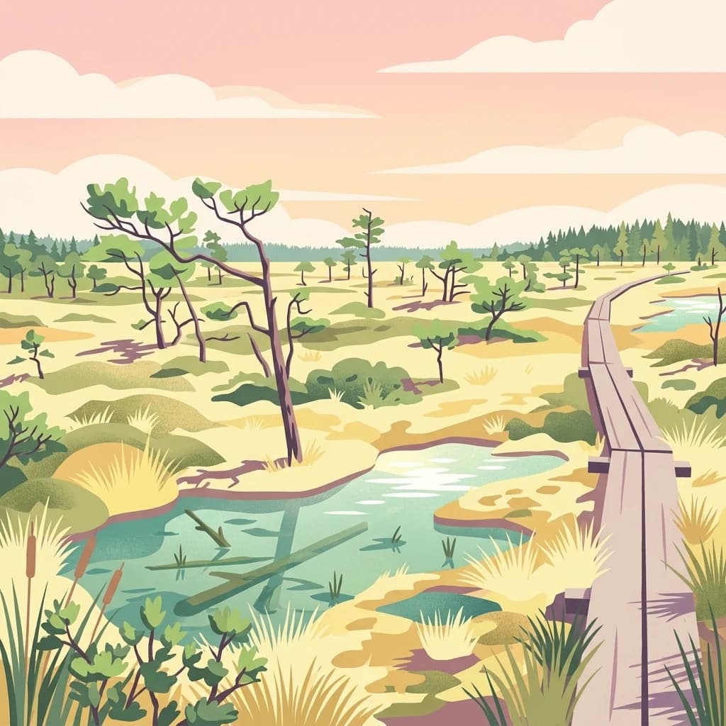
Estonia's wilderness of bogs, floods, and primeval forests
Soomaa National Park is a protected wilderness area in south-western Estonia, established in December 1993 to preserve one of the largest intact peat bog systems in Europe. The park covers approximately 360 square kilometres of raised bogs, flood plain grasslands, paludified forests, and meandering rivers in the Pärnu River basin. Its name, derived from the Estonian word for bog (soo), reflects the landscape's dominant character. Soomaa represents one of the last extensive wilderness areas in the Baltic region, protecting a network of five major bogs separated by river valleys. The park has held Important Bird Area status since 1989, Ramsar wetland designation since 1997, and became part of the European Union's Natura 2000 network in 2004. In 2009, Soomaa received PAN Parks certification recognizing its excellence in combining wilderness protection with sustainable tourism.
See the ranked park cluster in its geographic setting
Distance ranked regional park geography and surrounding protected landscapes

Northwest
Discover mapped landscapes and bird migration routes in Lääne County.
Matsalu National Park, in Lääne County, Estonia. Landscapes: wetlands, coasts, and islands.

South
Mapped terrain and diverse natural heritage in Vidzeme.
Gauja National Park, in Latvia. Landscapes: valleys, cliffs, and forests.

Southeast
Explore Karula Uplands' rolling terrain, lakes, and forests.
Karula National Park, Estonia's smallest national park, presents a densely clustered landscape of rolling hills, over 40 lakes, and extensive forest cover across the Karula Uplands. This protected area is a vital component of southern Estonia's natural geography, offering a rich mosaic of habitats. MoriAtlas facilitates a structured exploration of its mapped boundaries and the diverse ecosystems that define this distinctive natural landscape.

North
Mapped terrain, bogs, and coastal peninsulas of a major protected area.
Lahemaa National Park, in Estonia. Landscapes: coasts, bogs, and forests.

Northeast
Mapping Protected Wetlands and Boreal Ecosystems in Estonia
Alutaguse National Park, a newly established national park in eastern Estonia, offers a unique atlas perspective on extensive peat bog ecosystems and boreal forests. Covering over 443 square kilometers, it represents some of the most intact wetland landscapes in the country. The park's creation unified eleven protected areas, safeguarding a critical habitat for rare species and showcasing the distinctive geography of the Alutaguse Lowland.

Southwest
Explore the unique terrain and protected geography of this Baltic national park.
Slītere National Park represents a distinctive protected landscape on Latvia's Courland Peninsula, celebrated for its ancient geological formations like the Blue Hills (Zilie Kalni) and its role as a crucial bird migration corridor. The park's geography encompasses varied dune systems, wetland habitats, and rich broadleaf forests, offering a unique mapped environment. Discover the park's protected area boundaries and its significance within the regional Baltic geography, highlighting its unique ecosystem features and landscape context.

West
Explore the protected landscape of Western Saaremaa's coast.
Vilsandi National Park is an integral part of Saare County's protected lands, recognized as a significant marine protected area. This page offers an atlas-style exploration of its geography, focusing on the distinctive archipelago terrain, coastal formations along Saaremaa's western edge, and its vital importance as a stopover for migratory birds. Understand the park's mapped boundaries and its place within the broader Baltic Sea ecosystem through detailed geographic context.

Southwest
Explore a unique protected landscape with mapped bog ecosystems and regional natural terrain.
Ķemeri National Park, in Latvia. Landscapes: bogs, forests, and wetlands.

Northwest
Protected marine area with island geography in Uusimaa, Finland.
Delve into the unique protected landscape of Ekenäs Archipelago National Park, a premier example of a Baltic Sea marine protected area. Located in the Uusimaa region, this national park encompasses a vast expanse of coastal waters dotted with hundreds of rocky islets and skerries. MoriAtlas provides detailed geographic context, allowing for exploration of its mapped boundaries, island formations, and critical role as a sanctuary for breeding aquatic birds. Understand its place within Finland's protected areas atlas and appreciate its distinctive marine archipelago character.

North
Mapped boundaries and geographic context for a Finnish National Park.
Access detailed geographic information and mapped boundaries for Nuuksio National Park, a protected national park within the Uusimaa region. This MoriAtlas entry provides context for understanding its landscape within Finland, focusing on atlas-style exploration and the identification of protected natural areas.

Northwest
Explore protected area boundaries and natural terrain.
Archipelago National Park, in Finland. Landscapes: islands, coasts, and grasslands.

North
Explore Finland's key national park and its natural terrain.
Discover Sipoonkorpi National Park, a vital protected landscape in Finland's Uusimaa region. This page offers detailed insight into its mapped boundaries, diverse boreal forests, extensive swamp areas, and the unique terrain that defines this significant natural area. Understand its role as one of the last undeveloped green spaces near the Helsinki metropolitan area and explore its geographic context within southern Finland.

Northeast
Explore protected lands and mapped terrain.
The Eastern Gulf of Finland National Park is a designated national park located in the Kymenlaakso region of southeastern Finland. This entry provides specific geographic context for the park, detailing its role as a protected landscape and its mapped boundaries within the coastal atlas of the Gulf of Finland. Understanding its regional setting within Kymenlaakso allows for a more structured exploration of Finland's protected natural areas and their unique geographic identities.

Northwest
Explore the geographic context and protected landscape of Teijo National Park.
Teijo National Park is a designated national park within Southwest Finland, offering a distinct protected landscape for atlas exploration. This entry focuses on its geographic identity, mapped park boundaries, and its place within the broader regional geography. Discover the structured details of Teijo National Park as a key protected area, providing valuable context for understanding natural landscapes and conservation efforts in Finland.

North
Mapped natural landscape context within southeastern Finland.
Valkmusa National Park offers a unique opportunity for structured exploration of Finland's protected areas. Within the Kymenlaakso region, this national park presents a specific geographic identity for map-based discovery. Understand its protected landscape, mapped terrain, and regional context to build a comprehensive picture of southeastern Finland's natural geography through MoriAtlas.

North
Explore its mapped geography and protected area context.
Liesjärvi National Park is a designated national park situated in the Kanta-Häme region, a landscape rich with the characteristic features of southern Finland's Finnish Lakeland. This page serves as a focused entry point for understanding the park's protected status, its unique geographic setting, and its contribution to the regional atlas of natural landscapes. By examining Liesjärvi National Park, users gain insight into the mapped terrain and conservation efforts that define this part of Finland, fostering a deeper appreciation for protected areas.

Southeast
Explore the mapped terrain of Latvia's largest lake region.
Rāzna National Park, situated in the Latgale region, provides an essential focal point for understanding eastern Latvia's protected landscapes. This national park, recognized for its extensive glacial terrain and the significant Lake Rāzna, offers a distinct geographic profile. Users can explore its mapped boundaries, discover its role as a vital protected area, and understand its landscape context within the broader atlas of Latvia's natural heritage.

North
Discover mapped peatlands, unique birdlife, and protected boreal wilderness.
Torronsuo National Park stands as a testament to Finland's remarkable wetland conservation efforts, presenting a striking example of a raised bog ecosystem. Located within the Kanta-Häme region, this national park is celebrated for its vast, domed peat landscape, some of the thickest peat layers ever measured in Finland, and its status as a Ramsar-designated wetland. The park's protected status ensures the preservation of its unique natural terrain, which supports a rich diversity of northern bird species and specialized bog flora, making it a significant area for ecological and geographic exploration.

Southwest
Geographic reference and protected habitat in Akmenė District Municipality
Deepen your understanding of Kamanų valstybinis gamtinis rezervatas, an IUCN Category Ia protected area in Lithuania. Trace the boundaries of its iconic raised bog, mineral islands, and deep spruce woodlands that define this significant northern regional landscape.

Northwest
Discover geographic context and park boundaries.
Delve into Kurjenrahka National Park, a designated national park situated in Southwest Finland. This page provides an atlas-focused view of the park, detailing its protected landscape identity, mapped terrain, and its specific geographic location within the broader Finnish region. Understand the park's ecological context and its significance as a key protected area for regional geographic exploration.
Geographic measurements, not driving distances
Calculated between the nearest points of both park boundaries.
Estimated from one mapped park location to the nearest boundary of the other park.
Estimated between the mapped locations of both parks.
Delve deeper into the structured atlas information for Soomaa National Park. Understand its significance as a protected wilderness area, its distinct peat bog terrain, and how its mapped landscape fits within the regional geography of Viljandi County and beyond. MoriAtlas facilitates a comprehensive discovery of this vital European wetland.