Southwest
Archipelago National Park
Explore protected area boundaries and natural terrain.
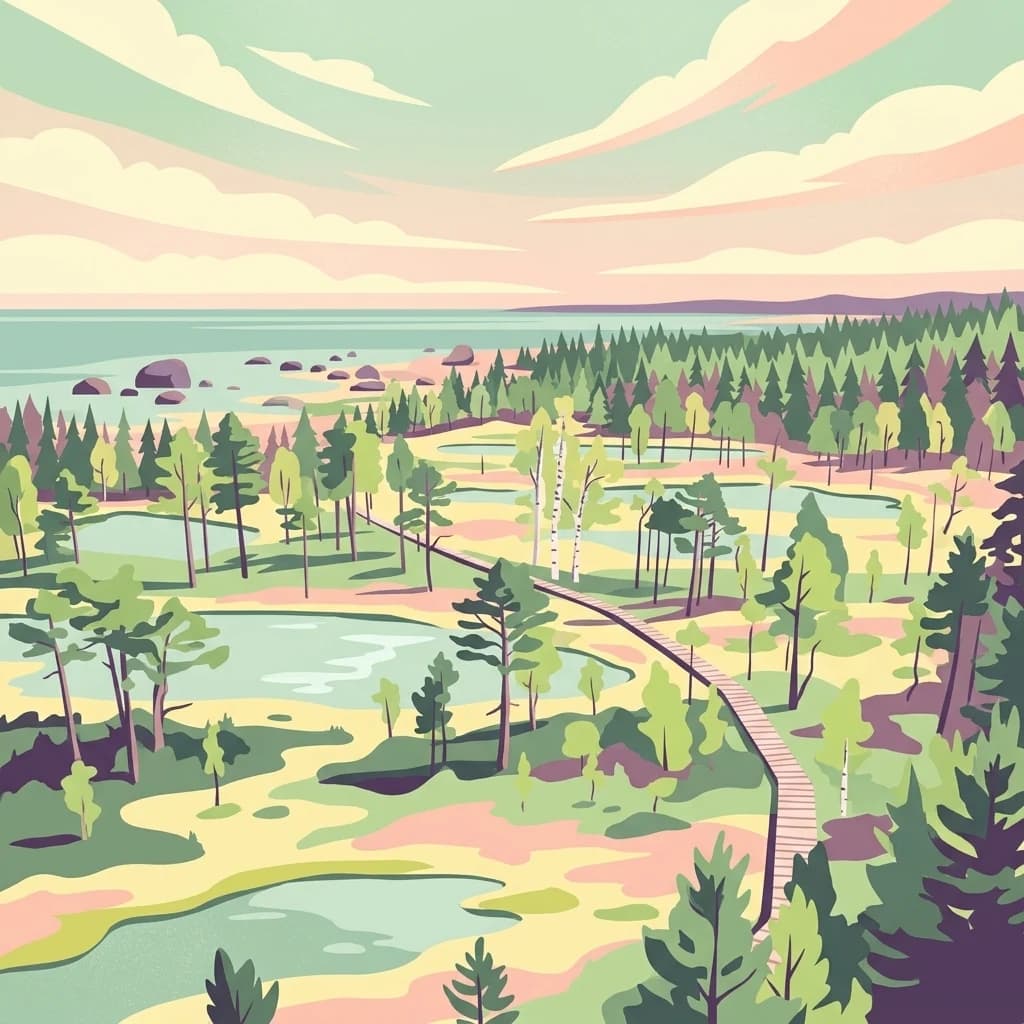
Archipelago National Park, in Finland. Landscapes: islands, coasts, and grasslands.
- Area
- 500 km²
- Established
- 1983
- IUCN
- II
- Visitors
- 78.8K annual
Regional landscape mapping and spatial distribution of nearby protected lands
Examine the geographic distribution of protected areas and national parks surrounding Teijo National Park within Southwest Finland. This collection provides spatial context for identifying nearby natural terrain, forested wetlands, and coastal landscapes to support a broader understanding of regional protected-land networks.

Forested wilderness with historic ironworks on Finland's southern coast
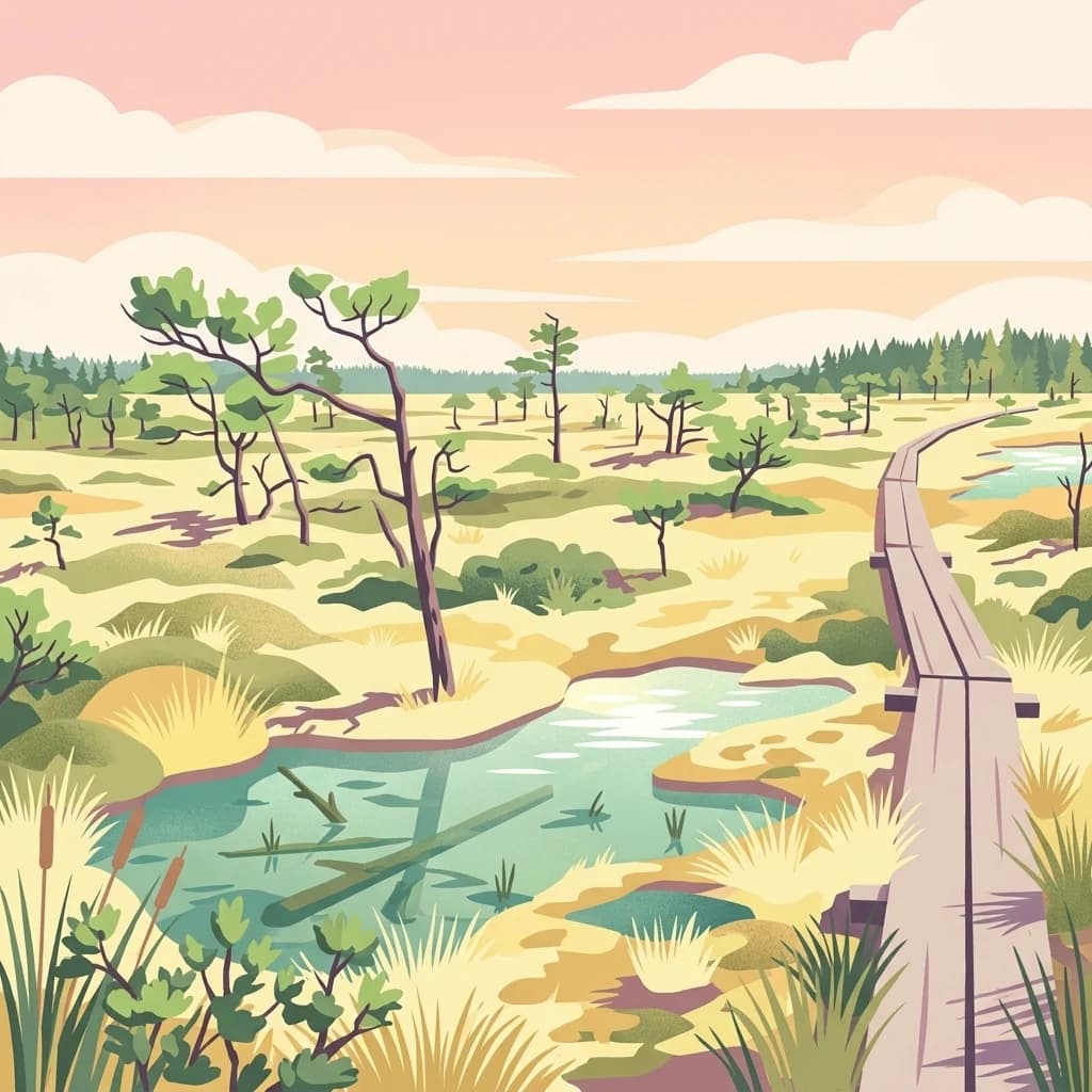
Teijo National Park is a protected wilderness area in Southwest Finland, established in 2015 within the Perniö region of Salo municipality. The park covers approximately 34 square kilometres of forested landscape situated on Finland's southern coast, making it one of the nation's newer national parks. The area features a distinctive mix of young managed pine forests and rare wetland habitats, including a notable eutrophic fen that represents one of the few remaining examples of this habitat type in southern Finland. The park is maintained by Metsähallitus and offers visitors approximately 50 kilometres of marked trails, including routes accessible to people with physical disabilities. Beyond its natural significance, Teijo preserves important industrial heritage through its historic iron works area in Kirjakkala, where renovated log houses from the 1800s stand as reminders of the region's manufacturing past.
See the ranked park cluster in its geographic setting
Distance separation and regional environmental comparison signals

Southwest
Explore protected area boundaries and natural terrain.
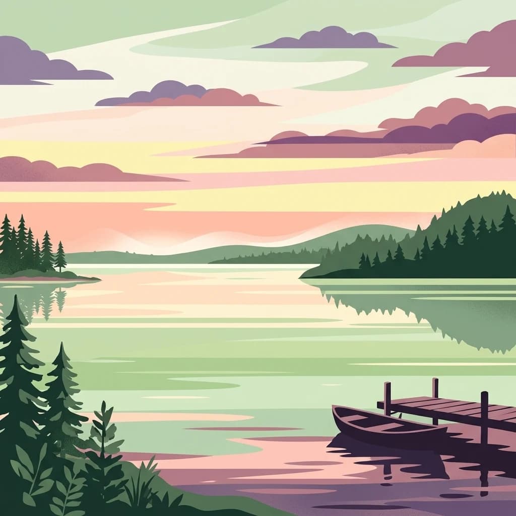
Archipelago National Park, in Finland. Landscapes: islands, coasts, and grasslands.

Southeast
Protected marine area with island geography in Uusimaa, Finland.
Delve into the unique protected landscape of Ekenäs Archipelago National Park, a premier example of a Baltic Sea marine protected area. Located in the Uusimaa region, this national park encompasses a vast expanse of coastal waters dotted with hundreds of rocky islets and skerries. MoriAtlas provides detailed geographic context, allowing for exploration of its mapped boundaries, island formations, and critical role as a sanctuary for breeding aquatic birds. Understand its place within Finland's protected areas atlas and appreciate its distinctive marine archipelago character.

Northwest
Discover geographic context and park boundaries.
Delve into Kurjenrahka National Park, a designated national park situated in Southwest Finland. This page provides an atlas-focused view of the park, detailing its protected landscape identity, mapped terrain, and its specific geographic location within the broader Finnish region. Understand the park's ecological context and its significance as a key protected area for regional geographic exploration.

Northeast
Discover mapped peatlands, unique birdlife, and protected boreal wilderness.
Torronsuo National Park stands as a testament to Finland's remarkable wetland conservation efforts, presenting a striking example of a raised bog ecosystem. Located within the Kanta-Häme region, this national park is celebrated for its vast, domed peat landscape, some of the thickest peat layers ever measured in Finland, and its status as a Ramsar-designated wetland. The park's protected status ensures the preservation of its unique natural terrain, which supports a rich diversity of northern bird species and specialized bog flora, making it a significant area for ecological and geographic exploration.

Northeast
Explore its mapped geography and protected area context.
Liesjärvi National Park is a designated national park situated in the Kanta-Häme region, a landscape rich with the characteristic features of southern Finland's Finnish Lakeland. This page serves as a focused entry point for understanding the park's protected status, its unique geographic setting, and its contribution to the regional atlas of natural landscapes. By examining Liesjärvi National Park, users gain insight into the mapped terrain and conservation efforts that define this part of Finland, fostering a deeper appreciation for protected areas.

East
Mapped boundaries and geographic context for a Finnish National Park.
Access detailed geographic information and mapped boundaries for Nuuksio National Park, a protected national park within the Uusimaa region. This MoriAtlas entry provides context for understanding its landscape within Finland, focusing on atlas-style exploration and the identification of protected natural areas.

North
Explore mapped protected areas and regional geography.
Puurijärvi-Isosuo National Park is a significant protected area in Finland's Pirkanmaa region. This entry provides detailed geographic context and maps the park's boundaries, offering a focused perspective for atlas-driven discovery of Finnish natural landscapes. Understand its place within the regional geography and the wider network of protected lands.

East
Explore Finland's key national park and its natural terrain.
Discover Sipoonkorpi National Park, a vital protected landscape in Finland's Uusimaa region. This page offers detailed insight into its mapped boundaries, diverse boreal forests, extensive swamp areas, and the unique terrain that defines this significant natural area. Understand its role as one of the last undeveloped green spaces near the Helsinki metropolitan area and explore its geographic context within southern Finland.
Northwest
Mapped geography and regional protected area context.
Bothnian Sea National Park stands as a significant protected landscape situated within the extensive island formations of Southwest Finland's Archipelago Sea. This page provides an atlas-focused view of the national park, detailing its geographic spread, mapped boundaries, and its place within the regional context of Varsinais-Suomi. Understand the protected area's unique coastal identity and its contribution to the mapped natural terrain of southern Finland, facilitating structured discovery and geographic exploration.

South
Discover mapped landscapes and bird migration routes in Lääne County.
Matsalu National Park, in Lääne County, Estonia. Landscapes: wetlands, coasts, and islands.

Southeast
Mapped terrain, bogs, and coastal peninsulas of a major protected area.
Lahemaa National Park, in Estonia. Landscapes: coasts, bogs, and forests.

Northeast
Explore unique glacial geology and boreal island wilderness.
Päijänne National Park presents a compelling protected landscape for atlas discovery, focusing on its distinct archipelago character within Lake Päijänne, Southern Finland. This national park features numerous islands showcasing ancient geological formations, from rocky outcrops to sandy beach ridges and moraine formations. Its mapped terrain offers insights into glacial processes and the development of boreal island ecosystems. Navigate its unique island settings to understand the geographic context of this protected area in the Päijät-Häme region.

North
Explore mapped terrain and protected wilderness landscapes.
Seitseminen National Park represents a significant protected area in western Finland, characterized by classic boreal forest ecosystems interspersed with extensive mire and bog landscapes. The park's geography includes the notable Seitsemisharju esker, contributing to its diverse terrain. As a sanctuary for ancient forests, including the historic Multiharju primeval forest, Seitseminen offers a unique focus for understanding Finnish protected wilderness and its mapped geographic features within the Nordic context.

Northeast
Central Finland's boreal forest, ravines, and lake district geography.
Isojärvi National Park offers a unique atlas perspective on Central Finland's protected natural landscapes. This national park is characterized by a dynamic boreal environment, featuring steep hills, deep ravines, and varied topography shaped by both ancient geological processes and contemporary beaver activity. Discover the mapped boundaries of this protected area, its central role in the Finnish lake district's geography, and the distinctive wetland habitats created by beavers that enhance its ecological diversity. It serves as a key point for understanding regional landscape context and protected land exploration.

South
Explore the protected landscape of Western Saaremaa's coast.
Vilsandi National Park is an integral part of Saare County's protected lands, recognized as a significant marine protected area. This page offers an atlas-style exploration of its geography, focusing on the distinctive archipelago terrain, coastal formations along Saaremaa's western edge, and its vital importance as a stopover for migratory birds. Understand the park's mapped boundaries and its place within the broader Baltic Sea ecosystem through detailed geographic context.

North
Mapped national park boundaries and regional natural terrain.
Delve into the details of Helvetinjärvi National Park, a protected area within the Pirkanmaa region of Finland. This atlas entry highlights the park's mapped geographic features and its identity as a national park. Understand the protected landscape and its place in the broader Finnish geography, offering structured insights for map-based discovery.

East
Mapped natural landscape context within southeastern Finland.
Valkmusa National Park offers a unique opportunity for structured exploration of Finland's protected areas. Within the Kymenlaakso region, this national park presents a specific geographic identity for map-based discovery. Understand its protected landscape, mapped terrain, and regional context to build a comprehensive picture of southeastern Finland's natural geography through MoriAtlas.

North
Mapped protected area within Finland's regional geography.
Delve into the protected landscape of Lauhanvuori National Park, a key national park in Finland. This atlas-focused entry details its geographic setting and mapped boundaries, offering structured insight into its protected area status and natural terrain. Understand how Lauhanvuori National Park contributes to Finland's broader conservation geography and landscape context.

North
Mapped boundaries and regional terrain of a Finnish national park.
Discover Kauhaneva-Pohjankangas National Park, a key protected area in Finland, through a structured atlas lens. This detail page provides essential information on its geographic setting, mapped natural landscapes, and protected area status, offering a deep dive into the park's physical identity. Understand its unique terrain and its significance within the Nordic region's geography for focused exploration.

Southeast
Explore mapped protected peat bogs and dynamic floodplains in Viljandi County.
Soomaa National Park is a protected wilderness area in Estonia renowned for its extensive peat bog systems and unique floodplains. This national park, located primarily in Viljandi County, showcases some of Europe's largest intact wetland landscapes, characterized by seasonal floods that transform the terrain into vast aquatic environments. MoriAtlas provides detailed geographic context for Soomaa, allowing for exploration of its protected boundaries and landscape features within the broader atlas of European natural areas.
Geographic measurements, not driving distances
Calculated between the nearest points of both park boundaries.
Estimated from one mapped park location to the nearest boundary of the other park.
Estimated between the mapped locations of both parks.
Deepen your understanding of Teijo National Park by exploring its specific geographic features and protected area context. MoriAtlas facilitates structured discovery, allowing you to trace the park's mapped boundaries and appreciate its regional landscape setting within Southwest Finland. Continue your atlas exploration to build a comprehensive view of Finland's protected natural areas and their geographic significance.