Northeast
Cát Bà National Park
Mapped protected area with diverse terrestrial and marine ecosystems.
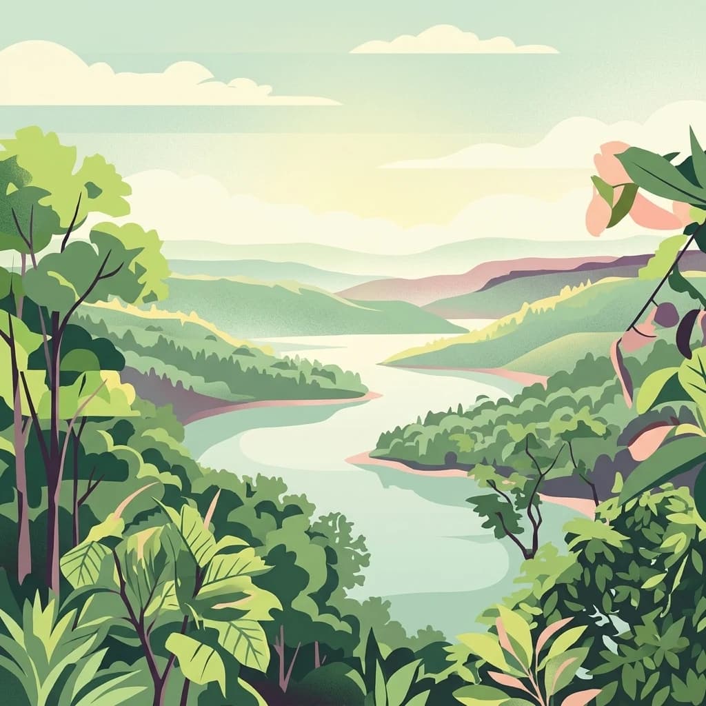
Cát Bà National Park, in Vietnam. Landscapes: hills, valleys, and cliffs.
- Area
- 161.968 km²
- Established
- 1986
- IUCN
- II
- Relief
- Highland
Analyze the regional geographic distribution of nearby protected landscapes and boundaries
Examine the geographic context of protected areas surrounding Xuân Thủy National Park within the Red River Delta and Nam Định Province. This overview visualizes the spatial distribution of nearby parks, providing a mapped perspective on how these coastal wetlands and related natural landscapes align within the broader regional terrain.

Southeast Asia's first Ramsar site and a critical coastal wetland habitat for migratory birds
Xuân Thủy National Park is a coastal wetland protected area located in Giao Thủy District, Nam Định Province, in northern Vietnam approximately 150 kilometers southeast of Hanoi. Established in 2003 and spanning 7,100 hectares, the park encompasses the mouth of the Red River where it flows into the Gulf of Tonkin, making it the largest coastal wetland ecosystem in northern Vietnam. The park was Vietnam's first designated Ramsar site and remains the only one in Southeast Asia, holding international significance as a critical staging and wintering area for migratory waterbirds along the East Asian-Australasian flyway. Its extensive mangrove forests, mudflats, and alluvial islands support extraordinary biodiversity and provide essential ecosystem services to surrounding communities.
See the ranked park cluster in its geographic setting
Distance-ranked regional park geography and surrounding protected landscapes

Northeast
Mapped protected area with diverse terrestrial and marine ecosystems.
Cát Bà National Park, in Vietnam. Landscapes: hills, valleys, and cliffs.

West
Explore its geographic setting and protected area boundaries.
Gain structured insight into Cúc Phương National Park, a designated national park in Vietnam situated within Ninh Bình Province. This entry provides detailed geographic context, focusing on the park's mapped boundaries and its identity as a protected landscape. It is designed to support atlas-driven exploration and understanding of Vietnam's natural geography.

Southwest
Explore protected area boundaries and regional terrain.
Ben En National Park represents a key protected natural area within Thanh Hóa Province, Vietnam. This detail page facilitates a structured discovery of its geographic features, mapped extent, and its significance as a national park. Dive into the atlas context to understand the park's landscape and its regional setting, offering a factual foundation for geographic exploration.

Northeast
Explore the geography and mapped protected boundaries.
Bái Tử Long National Park, located in Vietnam's Quảng Ninh Province, is a protected national park distinguished by its archipelago of approximately 40 limestone islands and significant marine environments. As one of Vietnam's few national parks designated to protect both land and sea, it provides critical atlas-level insights into coastal karst topography, marine biodiversity, and the interconnectedness of island ecosystems. Discover the park's unique geographic features and its role as a vital protected landscape within the broader regional context.

Northwest
Explore mapped boundaries and regional landscape context.
Tam Dao National Park is a key protected area in northern Vietnam, defined by its rugged mountain terrain featuring over 20 peaks exceeding 1,000 meters. This national park is a vital habitat for diverse flora and fauna, including numerous endemic species, and showcases transitional forest ecosystems from tropical to montane zones. Understanding Tam Dao National Park involves exploring its geographic setting within Vĩnh Phúc Province and appreciating its role as a significant protected landscape.

Northwest
Discover the mapped geography and biodiversity of this national park.
Ba Vì National Park, a protected natural area near Hanoi, showcases a dramatic landscape shaped by ancient volcanic activity. The park features three significant peaks, including Vua Mountain, creating a distinct topographical profile. Spanning over 10,800 hectares, it is recognized for its ecological diversity, harboring a wealth of plant and animal species. This national park serves as a vital protected landscape, offering a unique opportunity for geographic exploration and understanding the natural terrain surrounding the Vietnamese capital.

Northwest
Mapping the southeastern edge of the Hoang Lien Mountains.
Delve into the protected landscape of Xuân Sơn National Park, a key national park situated in Phú Thọ Province, Vietnam. This area, covering about 150 square kilometers, is defined by its rugged mountainous terrain, featuring steep forested slopes and distinct ridgelines that contribute to the region's varied topography. As a protected national park, Xuân Sơn plays a crucial role in preserving the natural characteristics of the southeastern Hoang Lien Mountains. Its geographic setting is significant, acting as a transition zone between higher montane environments and the nearby lowland river systems, offering a unique perspective on Vietnam's diverse natural heritage.

Southwest
Explore Nghệ An Province's protected area context.
Pù Mát National Park is a key protected area situated in Nghệ An Province, Vietnam. This entry focuses on its role as a national park, detailing its mapped boundaries and geographic features. It serves as a vital point for understanding the distribution of protected lands and the natural landscape context within the broader regional atlas. Discover the specific geographic identity and atlas significance of Pù Mát National Park.

Southwest
National Park Discovery and Mapped Terrain Exploration
Investigate Vũ Quang National Park, a key protected area situated in Hà Tĩnh Province. This page provides detailed insight into the park's designation as a national park, focusing on its mapped boundaries, surrounding natural landscapes, and contribution to the regional geography. It serves as a vital resource for understanding the park's protected landscape characteristics and its place within Vietnam's atlas of conservation areas.

North
Discover the mapped geography of this unique protected wetland in Bắc Kạn.
Ba Bể National Park is distinguished by Vietnam's largest natural freshwater lake, a perennial karst water body set within a dramatic limestone landscape. This national park in Bắc Kạn Province protects a vital wetland ecosystem and its surrounding highland forests, offering a rich geographic context for atlas exploration. Explore the park's unique terrain, mapped boundaries, and the remarkable biodiversity it preserves, making it a cornerstone of regional natural landscape discovery.

South
Explore protected landscapes, cave systems, and geological wonders.
Phong Nha, Kẻ Bàng National Park in Vietnam is a globally significant protected landscape, recognized by UNESCO for its exceptional karst topography and extensive cave networks. This national park features dramatic limestone mountains, deep river gorges, and some of the world's most impressive subterranean formations, offering a rich atlas of natural history and geological wonders to explore.
Southwest
River-carved mountain ranges and forest corridors
Nam Kading National Protected Area encompasses a vast, roadless wilderness in central Laos shaped by the Nam Kading river system. This protected landscape features deep valleys, dense evergreen forests, and dramatic relief that support a wide array of fauna and significant environmental research in the Bolikhamsai region.
Southwest
Tower karst geology and Annamite Range biodiversity
Delve into the geography of Phou Hin Poun National Biodiversity Conservation Area, where dramatic stone ridges and dense forest patches define a unique karst ecosystem. Located in Khammouane Province, this wildlife reserve stands as a major center for scientific discovery and protected habitat monitoring in central Laos.
East
Protected marine landscape in the Gulf of Tonkin, China.
Gain insights into the geographic extent and marine environment of Guangxi Hepu Dugong National Nature Reserve. This protected area in the Beibu Gulf anchors regional conservation efforts through its distinct seagrass beds, tidal flats, and extensive shallow-water habitats that support rare marine life.

Northwest
Discover exceptional mountain terrain and unique endemic species habitat.
Hoàng Liên National Park stands as a critical protected landscape in Lào Cai Province, Vietnam, centered around the iconic Fansipan mountain, the highest point in the Indochinese Peninsula. This national park is renowned as a globally important center for plant diversity, showcasing varied mountain terrain from lush evergreen forests to subalpine ecosystems. Explore the mapped boundaries and geographic context of this significant highland protected area, a key destination for understanding Southeast Asian botanical richness.
South
Protected forest ecosystems in Savannakhet Province, Laos
Phou Xang He National Protected Area encompasses a vast, relatively undisturbed forest expanse in central Laos. This detailed look at the park's physical geography highlights its characteristic mix of deciduous and evergreen woodlands, serving as a vital habitat within the Annamite foothills region. Understand the spatial distribution of this protected landscape and its regional importance to conservation efforts across Savannakhet Province.

East
Coastal wetland landscapes on the northern edge of Hainan
Understand the physical landscape of 海南东寨港国家级自然保护区 through its complex tidal networks and brackish estuaries. This nature reserve provides essential insights into mangrove forest stability, sediment accumulation, and coastal resilience within the broader geography of Hainan province.
Southwest
Explore dry dipterocarp forest and unique terrain in Sakon Nakhon.
Phu Phan National Park offers a detailed look into Thailand's northeastern geography, characterized by its mountainous terrain and extensive dry dipterocarp forests. As a national park, it represents a vital protected landscape within Sakon Nakhon Province, showcasing unique geological formations and providing a rich context for atlas-based exploration. Discover the park's mapped boundaries, its ecological significance, and the distinct natural features that define this prominent Isan region protected area.

Southwest
Explore the mapped boundaries and natural terrain of this Thai national park.
Phu Pha Yon National Park, situated in Sakon Nakhon Province, is a protected national park offering a focused point for geographic exploration. This park entity serves as a component of Thailand's broader protected area network, with its mapped boundaries and natural landscape providing essential context for regional geography studies. Understanding Phu Pha Yon National Park through its geographic setting and protected status enhances atlas-based discovery and appreciation of its place within the Khorat Plateau.
South
Explore the biodiversity and unique geography of this vital national park.
Bach Ma National Park in Vietnam is a protected area defined by its steep, granite-rich mountainous terrain within the Annamite Range. The park’s location at a significant biogeographical crossroads contributes to its exceptional biodiversity, particularly its documented birdlife and varied forest ecosystems. Understanding Bach Ma National Park through its mapped landscape provides critical insight into Vietnam's natural heritage and the ecological dynamics shaped by its unique regional geography.
Geographic measurements, not driving distances
Calculated between the nearest points of both park boundaries.
Estimated from one mapped park location to the nearest boundary of the other park.
Estimated between the mapped locations of both parks.
Deepen your understanding of Xuân Thủy National Park by examining its precise geographic location and the extent of its protected landscape. This focused exploration provides essential context for appreciating its role within Nam Định Province and its contribution to Vietnam's network of mapped natural areas. Investigate the park's terrain and protected land distribution to gain a clearer picture of its unique atlas value.