National parkAfghanistan
About 96 km away#1 closest
North

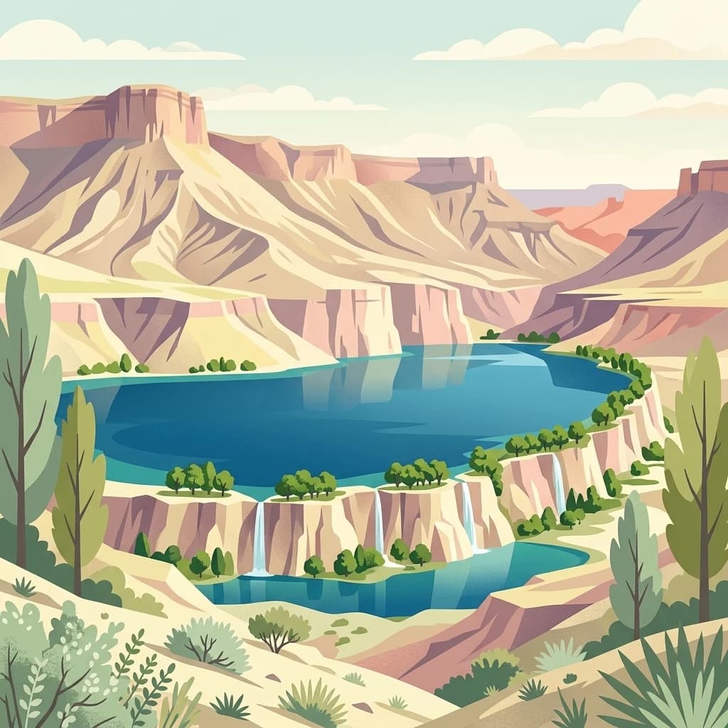
Band-e Amir National Park
Explore the unique terrain and mapped protected boundaries.
Band-e Amir National Park, in Afghanistan.
- IUCN
- II
- Scope
- Terrestrial

Geographic analysis of surrounding conservation lands and alpine terrain
Examine the geographic distribution of protected lands in the vicinity of Ajar Valley Nature Reserve. This overview displays mapped park boundaries and regional landscape contexts within the Hindu Kush mountain system to help users visualize the natural terrain and conservation network of Bamyan Province.
Related tags
Historic high-altitude valley in central Afghanistan
Ajar Valley Nature Reserve is a protected area situated in the mountainous Bamyan Province of central Afghanistan. The reserve occupies a valley ecosystem that has long been recognized for its ecological significance within the country. Originally serving as a royal hunting ground for the Afghan royal family, the area was formally designated as a nature reserve in the early 20th century, making it one of Afghanistan's oldest protected areas. The valley is characterized by rugged terrain, steep slopes, and the distinctive alpine environment typical of the Hindu Kush mountain range that traverses this region. Despite its protected status, the reserve faces significant conservation challenges, including persistent poaching pressure and the broader impacts of conflict on environmental protection efforts.
See the ranked park cluster in its geographic setting
Distance ranked regional park geography and surrounding protected landscapes
North
Explore the unique terrain and mapped protected boundaries.
Band-e Amir National Park, in Afghanistan.
Southeast
Explore its unique alkaline geography and bird habitat.
Ab-i Istada is a crucial protected area featuring a large, shallow endorheic salt lake set within a geological depression in Afghanistan's Hindu Kush foothills. This protected landscape is globally recognized for its importance as a stopover for migratory birds. The site's dynamic water levels, alkaline conditions, and surrounding wetlands offer a unique focus for atlas-based geographic exploration and understanding the context of protected areas in Central Asia.
East

Discover the geography and protected landscape of Hashmat Khan Park.
Hashmat Khan Park is a vital protected area situated within Pakistan's urban geography, renowned for its role as a waterfowl sanctuary and wetland habitat. This page provides an in-depth look at the park's mapped boundaries and its unique landscape character, offering users structured geographic discovery. Explore how this protected wetland exists alongside historic landmarks and urban development, showcasing a distinctive natural setting within a major city. Gain insights into its ecological importance and its place within the broader atlas of protected lands in Pakistan and Central Asia.

East
Mapped geography and regional terrain context
Explore Nuristan National Park, an important national park within Afghanistan. This protected area offers insights into the country's mountainous geography and its conservation landscape. Understand its mapped boundaries and its role within the broader regional context for atlas-driven discovery.
Southeast
Semi-arid terrain and rich herpetofauna habitat in Khyber Pakhtunkhwa.
Investigate Sheikh Badin National Park, a key protected area situated within Pakistan's Sulaiman Mountains. This national park showcases a distinctive semi-arid mountain terrain, characterized by rocky ridges and valleys, offering insights into ecological transition zones. Delve into the park's mapped boundaries and its significance as a habitat for diverse birdlife and herpetofauna within Pakistan's geography.
South
Explore the park's mapped terrain and Sulaiman markhor habitat.
Takatu National Park represents a significant protected landscape in the highlands of Balochistan, Pakistan. Established in 2025, this national park features the dramatic mountainous terrain dominated by Koh-i-Takatu, the region's third-highest peak. The park's boundaries encompass critical habitat for the endangered Sulaiman markhor, contributing to a vital conservation corridor. Its geography offers a distinctive semi-arid mountain character, distinct from other protected areas in Pakistan, making it a notable site for atlas-driven exploration and understanding of regional biodiversity.
East
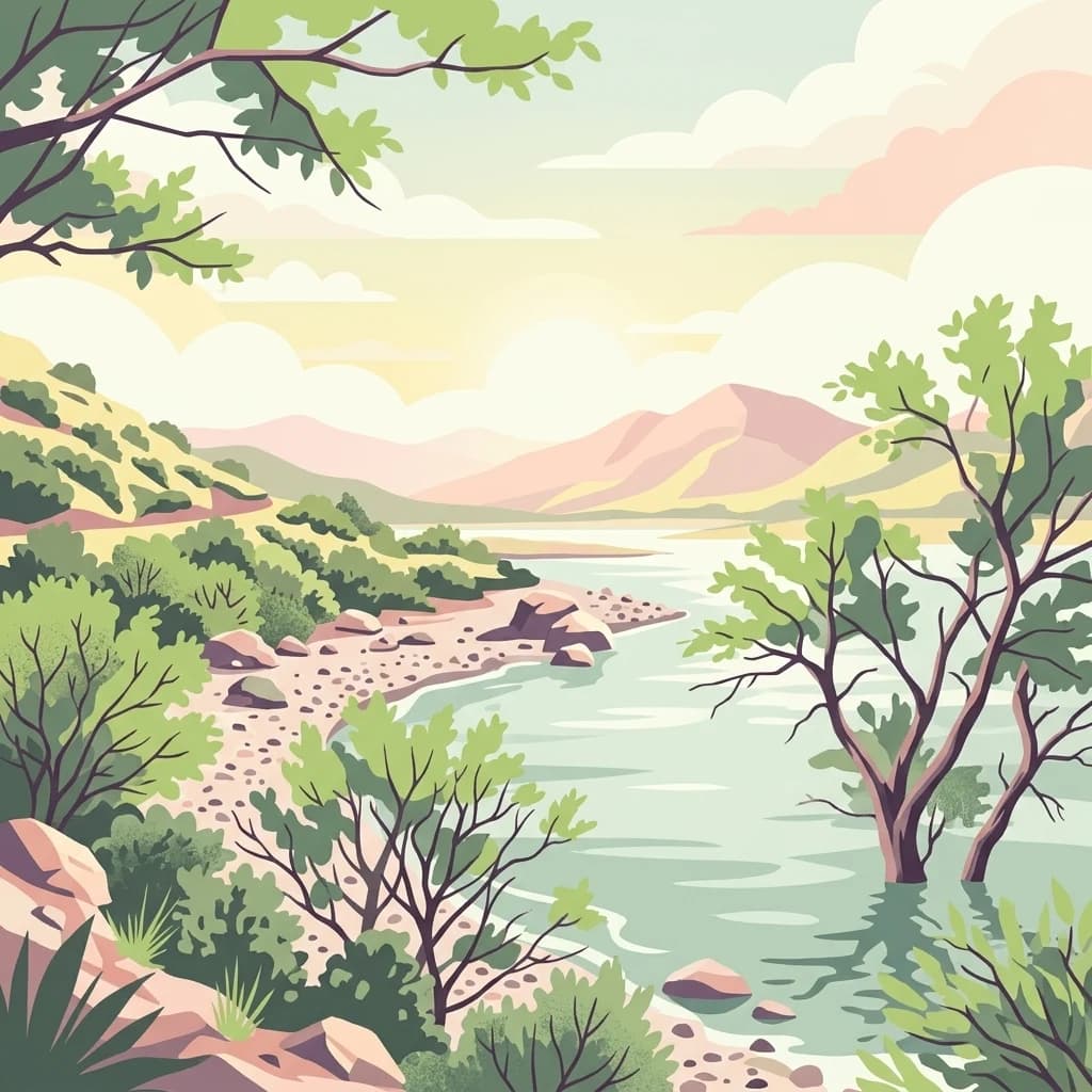
Ramsar-listed reservoir and regional irrigation landscape
Tanda Dam is a critical irrigation reservoir and Ramsar-listed wetland located in the Kohat District. This protected area supports agricultural networks for surrounding villages while serving as a winter refuge for migratory waterbirds traveling from the Caspian region and Siberia. The site offers a unique perspective on managed water landscapes within the broader terrain of Khyber Pakhtunkhwa.

South
Ancient juniper woodlands and high mountain terrain in Pakistan.
Ziarat Juniper Forest represents one of the largest and most ecologically significant juniper woodlands in the world. Located in the Ziarat district of Balochistan, this biosphere reserve spans an extensive area of mountainous ridges and deep valleys. The forest is characterized by extreme longevity among its trees and provides a critical case study in dry temperate forest geography, conservation status, and climate tolerance within the broader context of Pakistani mountain landscapes.

South
Explore protected terrain and regional geography in Pakistan.
Dive into the atlas-based discovery of Ziarat National Park, a significant protected area within Pakistan. This page details its unique geographic characteristics and its placement as a national park, offering a focused view on its mapped landscape. Understand the environmental context and protected land significance of Ziarat National Park for detailed geographic study and map exploration.
South
Explore protected wildlife habitats and unique terrain in the Sulaiman Mountains.
Hazarganji-Chiltan National Park represents a significant protected landscape within Balochistan, Pakistan. Designated as a national park, it is fundamental to the conservation of the Chiltan ibex and Sulaiman Markhor, showcasing a unique arid mountain ecosystem. The park's terrain encompasses a transition from desert conditions to higher juniper forests, offering a detailed case study in regional geography and protected area management. Understanding Hazarganji-Chiltan National Park provides essential context for the mapped distribution of critical wildlife habitats in the Sulaiman Mountains range.
Southeast
Freshwater habitat boundaries and Indus River landscape context
Chashma and Taunsa Barrage Dolphin Sanctuary serves as a key protected site for the Indus river dolphin, offering a unique look at riverine conservation in Punjab. This habitat, defined by its hydrology between two major barrages, acts as an essential wetland and wildlife corridor. The area provides a specialized landscape study for those tracing the ecological features of the Indus River system through this significant protected zone.
Northeast
Explore its mapped boundaries and dramatic mountain geography.
Chitral National Park, situated in Pakistan's Hindu Kush range, is a significant protected area characterized by its dramatic alpine terrain. This national park provides crucial habitat for endangered markhor and snow leopards amidst glacial valleys and cedar forests. The park's extensive elevation gradient, from 1,450 to 5,000 meters, offers a rich landscape for geographic discovery and understanding the distribution of its unique wildlife within the western Himalayas.
Southeast

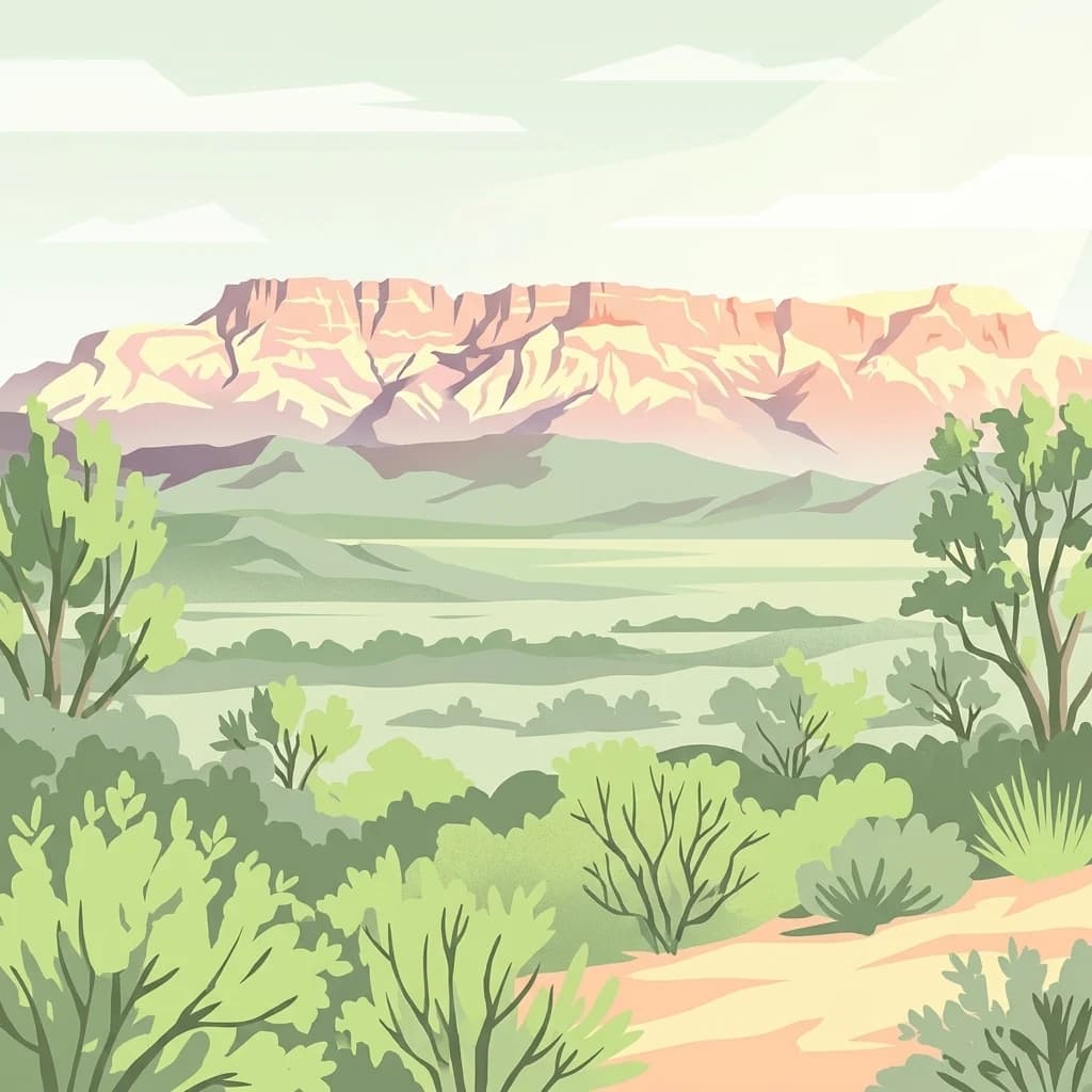
Discover unique terrain and cultural heritage within this protected mountain range.
Koh-e-Sulaiman is a vital protected area within Iran, distinguished by the sacred Takht-e-Sulaiman peak, a site of deep spiritual importance. This landscape features rugged mountains, steep ridges, and deep valleys, contrasting sharply with surrounding plains. The protected area's unique geological complexity and dramatic terrain make it a significant natural and cultural landmark. MoriAtlas offers detailed geographic context to understand its protected boundaries and its role in the regional atlas, focusing on landscape discovery and natural features.
East
Key protected wetland landscape in the Soon Valley of Punjab
The Uchhali Complex serves as a critical wetland system characterized by the brackish and saline waters of Khabikki, Uchhali, and Jahlar lakes. Situated in the Soon Valley, this protected area offers a unique geographic perspective on the interplay between the mineralized geology of the Salt Range and the surrounding semi-arid terrain. This detail overview examines the site as a landmark habitat for migratory waterbirds and a defining feature of the Khushab District landscape.
East
Discover unique hill landscapes and a rare ecosystem on the Pothohar Plateau.
Kala Chitta National Park represents a crucial protected area in Punjab, Pakistan, safeguarding a distinct dry temperate forest ecosystem that is uncommon in the Pothohar Plateau's heavily agricultural landscape. The park's terrain comprises rolling hills and intervening plains, contributing to its ecological richness and providing valuable mapped landscape context. Explore the geographic importance of this national park and its role in preserving a vital natural habitat.
East
Mapping protected scrub forests and ridges in Khushab and Chakwal
Covering thousands of acres of contiguous reserve forest, Chumbi Surla Wildlife Sanctuary represents a crucial protected ecosystem within the Punjab landscape. This high-altitude scrub environment provides an essential refuge for the Punjab urial, characterized by deep valleys, stony slopes, and ridge systems that define the topography of the local Salt Range outliers.
East
Discover the unique eroded terrain and semi-arid ecosystems of Punjab, Pakistan.
Chinji National Park is a protected national park located in the Punjab province of Pakistan, specifically within the historic Salt Range. This park is characterized by its deeply eroded terrain, composed of sandstone and igneous rock formations, shaped by seasonal streams that lead towards the Soan River. As a key example of a semi-arid mountain ecosystem within the Baluchistan xeric woodlands ecoregion, Chinji National Park offers significant insights into the geological heritage and unique biodiversity of central Pakistan.
East
Explore the mapped terrain and protected landscape context.
Discover Kheri Murat National Park, a recent national park designation located in Punjab, Pakistan, situated on the rolling hills of the Kala Chitta Range. This protected area features a distinct subtropical thorn scrub forest ecosystem, providing essential habitat for wildlife, including the Punjab urial, and serving as a critical site for bird conservation. Its unique landscape offers valuable insights into regional geography and the preservation of natural wilderness within a predominantly agricultural province, making it a noteworthy entity for atlas exploration.
East
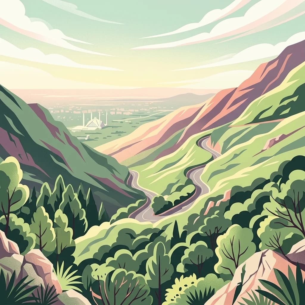
Mapped protected landscape with rich Sino-Himalayan biodiversity.
Margalla Hills National Park, situated in the Islamabad Capital Territory, serves as Pakistan's most accessible national park and a vital entry point to the Himalayan foothills. This protected landscape is defined by its rugged mountain terrain, ranging from lower scrublands to higher pine and oak woodlands, with elevations up to 1,604 meters. The park's geological significance, with ancient marine fossil formations, adds a unique dimension to its natural identity. Discover the mapped boundaries and ecological richness that characterize this important protected area, offering insights into regional geography and diverse habitats.
Northeast
Discover mapped boundaries and regional geography for this park.
Hundrap-Shandur National Park is a protected area in Pakistan, designated as a national park. Its geographic identity and mapped landscape context are crucial for understanding the country's conservation network. This MoriAtlas entry provides detailed information about the park's spatial representation, regional setting, and its significance as a mapped natural landscape within Pakistan's atlas.
Geographic measurements, not driving distances
Calculated between the nearest points of both park boundaries.
Estimated from one mapped park location to the nearest boundary of the other park.
Estimated between the mapped locations of both parks.
Further investigate the Ajar Valley Nature Reserve to understand its specific mapped boundaries, the surrounding regional geography of Bamyan Province, and the unique alpine terrain that defines this protected landscape. Delve deeper into its conservation atlas information to grasp its ecological importance and its historical standing as a significant natural reserve within Afghanistan.