Mori Atlas logo
Nearby park discovery

Mapped regional geography and neighboring protected landscapes in Pas-de-Calais

Protected Areas and Natural Landscapes near Réserve naturelle régionale de la Pâture Mille Trous

Explore the geographic distribution of protected areas and natural sites surrounding the Réserve naturelle régionale de la Pâture Mille Trous. This comparison maps nearby grassland reserves and habitat mosaics within the Authie valley landscape, providing a clear view of the regional network of conservation sites across the Pas-de-Calais department.

A minimalist, flat-style digital illustration depicting a rolling landscape with steep cliffs, a waterfall cascading into a winding stream, and apple trees in the foreground.

A small chalk-grassland reserve in the Authie valley, protecting centuries-old lime-kiln quarry pits and rare calcareous flora.

Réserve naturelle régionale de la Pâture Mille Trous

The Réserve naturelle régionale de la Pâture Mille Trous is a small regional nature reserve in northern France, located on the territory of Auxi-le-Château in the Pas-de-Calais department, within the Hauts-de-France region. Covering roughly 6.44 hectares on a chalk plateau and adjoining slope overlooking the Authie valley, the reserve protects one of the most diverse calcareous grassland ecosystems in the middle reaches of the Authie. The site is best known for the unusual pattern of dozens of shallow depressions that pock the plateau. These are the relicts of historical chalk extraction pits once used to feed lime kilns, and they give the landscape both its name and its distinctive texture. Surrounded mostly by farmland and bordered to the northeast by the Bois du Violon, the reserve combines open chalk grassland, transitional scrub, woodland edge habitats and pockets of bare ground, supporting a rich and varied plant community including several protected wildflower species and terrestrial orchids. As an IUCN Category IV protected area managed by the Conservatoire d'espaces naturels du Nord et du Pas-de-Calais, the reserve plays a local but meaningful role in maintaining a network of calcareous grassland sites along the Authie valley. It is also valued as an environmental education site and as a viewpoint over the surrounding valley landscape.

Location
France
Park type
Nature reserve
Established
2007
Area
0.1 km²
Réserve naturelle régionale de la Pâture Mille Trous Geography
Regional park map

See the ranked park cluster in its geographic setting

Nearby parks around Réserve naturelle régionale de la Pâture Mille Trous

This regional map shows the same 20 nearby parks ranked below around Réserve naturelle régionale de la Pâture Mille Trous. Select a ranked marker to highlight that park’s boundary where boundary data is available.
Reference park: Réserve naturelle régionale de la Pâture Mille TrousRanked nearby park20 nearby parks shown
20 nearby parks

Ranked geographic collection and surrounding protected-landscape patterns

Parks and Protected Areas Geographically Near Réserve Naturelle Régionale de la Pâture Mille Trous

Geographic separation and directional context establish a ranked collection of protected areas near Réserve naturelle régionale de la Pâture Mille Trous. Country records and environmental characteristics support broader regional comparison across neighboring natural terrain.
Nature reserveHauts-de-France
About 5.2 km away#1 closest

East

Réserve naturelle régionale des Riez de Nœux-lès-Auxi Protected Landscape and Map Data

Geography of thermophilic limestone slopes in northern France

This site provides a detailed look at the Réserve naturelle régionale des Riez de Nœux-lès-Auxi, focusing on its role as the most thermophilic limestone slope in the former Nord-Pas-de-Calais region. Access structured data on the reserve's unique calcareous grassland mosaic, juniper stands, and the ravine forest habitat that characterizes this protected northern territory.

Area
0.083 km²
Established
1999
IUCN
IV
Relief
Upland
Nature reservePas-de-Calais
About 18 km away#2 closest

North

Réserve naturelle régionale du marais de la Grenouillère: Wetland Geography and Map

Protected alluvial floodplain in the Pas-de-Calais region

This regional nature reserve encompasses sixteen hectares of high-density wetland habitats along the Ternoise river. Its flat topography sustains a delicate mosaic of alkaline marshes, wet meadows, and riparian alder woodlands that serve as a critical ecological buffer within the broader landscape of northern France.

Area
0.166 km²
Established
2000
IUCN
IV
Relief
Lowland
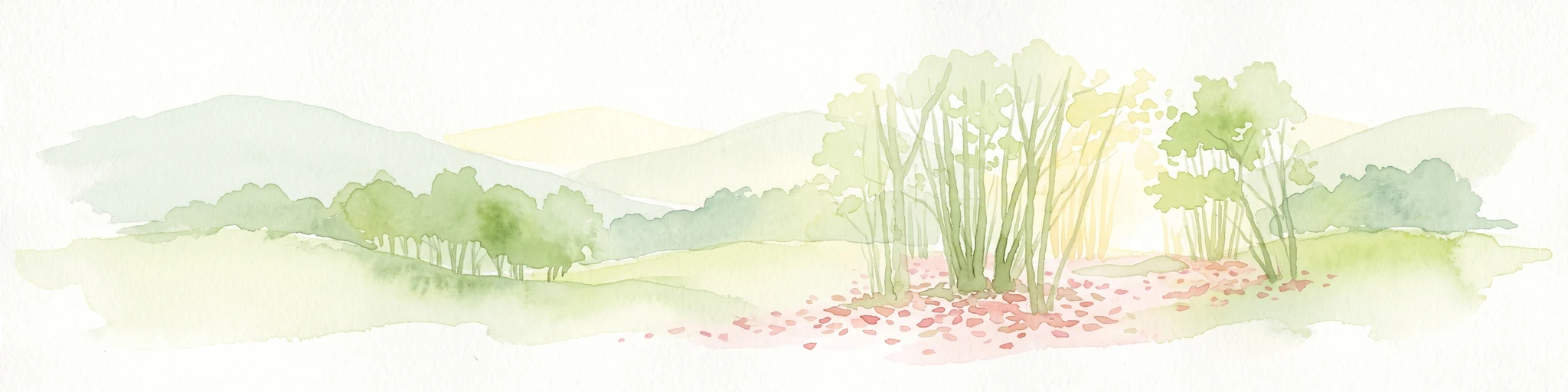
A soft watercolor illustration showing a landscape with sparse trees, a sunlit clearing, and rolling hills in the background, set against a plain white background.
Nature reserveHauts-de-France
About 32 km away#3 closest

West

Réserve naturelle régionale du bois des Agneux: Protected Nature Reserve Landscape

Wetland habitat and acidiphile woodland in Hauts-de-France

Examine the geography of Réserve naturelle régionale du bois des Agneux, a nature reserve in the Somme department of Hauts-de-France. This protected area stands out for its mosaic of acidiphile oak woodland, seasonal pools, and sandy micro-relief, serving as a critical refuge for specialized flora and fauna on the Picardy coast.

Area
0.256 km²
Established
2015
IUCN
IV
Relief
Lowland
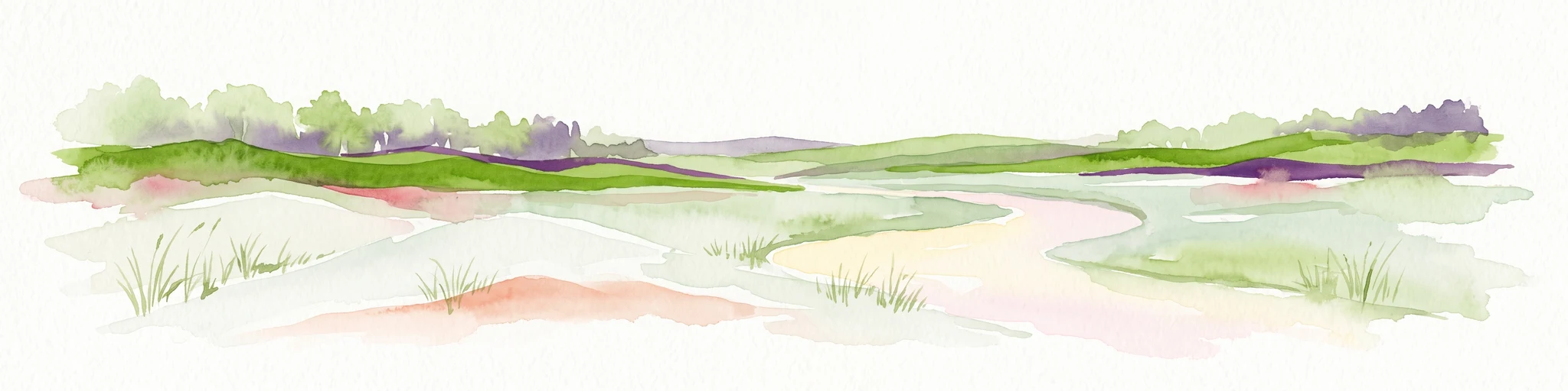
Watercolor painting of a coastal salt marsh with winding tidal channels, grassy banks, and soft green and purple tones.
Nature reserveSomme
About 41 km away#4 closest

West

Reserve naturelle nationale de la baie de Somme: Estuarine Geography and Protected Boundaries

Coastal mapping of the Somme estuary in northern France

Covering a wide range of tidal environments, the Reserve naturelle nationale de la baie de Somme represents one of France's most significant protected estuarine systems. This overview focuses on the interplay of river and tide, showcasing the expansive mudflats, salt marshes, and dune habitats that support immense bird populations and harbor seals along the Picardy shoreline.

Area
34.209 km²
Established
1994
IUCN
IV
Relief
Lowland
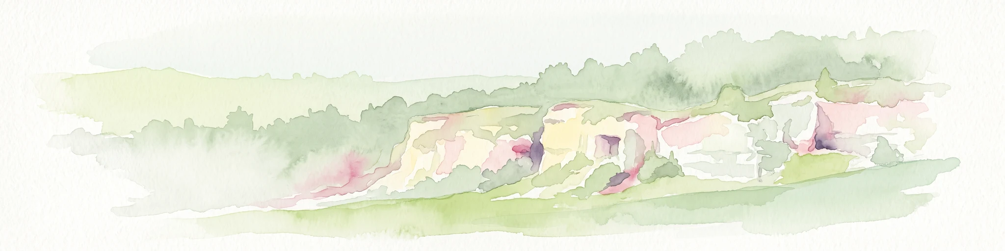
A soft watercolor painting of a grassy landscape with exposed limestone rock faces and green vegetation.
Nature reserveHauts-de-France
About 46 km away#5 closest

North

Réserve naturelle régionale des anciennes carrières de Cléty: Protected Geological Landscape

Regional nature reserve in the Hauts-de-France, France

A significant geological protected area in the Pas-de-Calais, this reserve features an exposed chalk quarry face that serves as a stratigraphic record for the Cretaceous period. The landscape hosts a rare intersection of geological heritage and diverse ecosystems, including orchids, butterflies, and bat colonies, within a compact footprint.

Area
0.02 km²
Established
2011
IUCN
IV
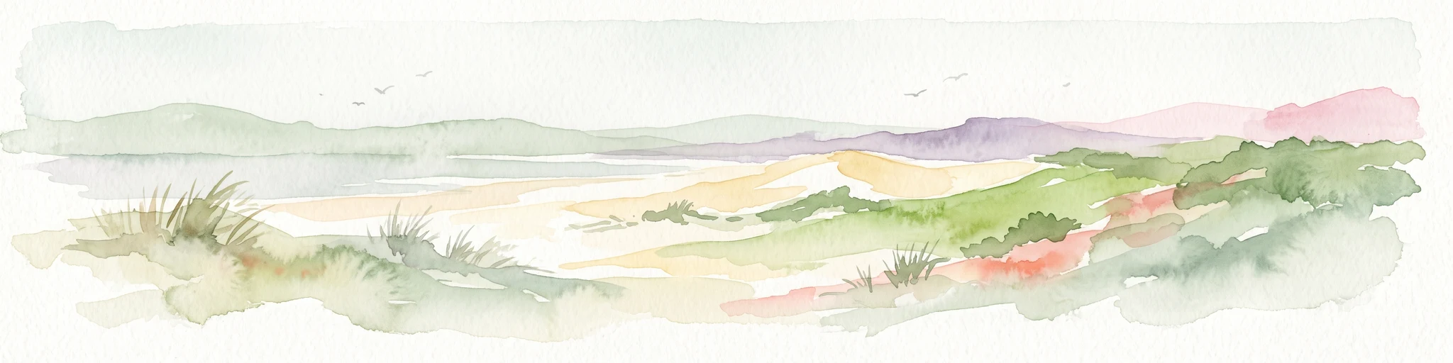
Watercolor painting of a coastal landscape with sand dunes, beach grasses, and distant hills under a light sky.
Nature reservePas-de-Calais
About 47 km away#6 closest

Northwest

Réserve naturelle nationale de la baie de Canche Protected Area Map and Geography

Coastal dune ecosystems and tidal estuary landscapes in Pas-de-Calais

This protected area offers a look into the geomorphology of the Canche estuary, where longshore drift, salt marshes, and rare chalk-cliff dune systems create a distinct environment. Understand the landscape context of this French national nature reserve, serving as a sanctuary for migratory bird populations and a site for active coastal research along the English Channel.

Area
5.05 km²
Established
1987
IUCN
IV
Relief
Lowland
A watercolor painting of a rolling rural landscape with bare trees, grassy hills, and distant purple and red hills against a pale sky.
Nature reserveHauts-de-France
About 50 km away#7 closest

Northwest

Réserve naturelle régionale du Molinet: Protected Calcareous Woodlands and Grassland Mosaic

Geographic and Habitat Analysis of a Pas-de-Calais Nature Reserve

Located in the Boulonnais landscape of northern France, this protected area serves as a vital refuge for calcareous flora. The reserve preserves a rare mosaic of limestone woodlands and grasslands, serving a dual role in both ecological conservation and water catchment protection within the Hauts-de-France administrative region.

Area
0.067 km²
Established
1987
IUCN
IV
Relief
Lowland
Nature reserveHauts-de-France
About 51 km away#8 closest

North

Réserve naturelle régionale du plateau des landes: Regional Nature Reserve Landscape Profile

Protected heathland geography in the Pas-de-Calais corridor.

Understand the ecological structure of the Réserve naturelle régionale du plateau des landes. This protected area features a unique crescent shape and mosaic of heathland sectors spread across several communes, offering a focused study of low-elevation inland conservation management in the heart of northern France.

Area
1.811 km²
Established
2009
IUCN
IV
Watercolor painting of a marshy wetland landscape featuring rolling hills, green trees, and foreground grasses against a white background.
Nature reservePas-de-Calais
About 53 km away#9 closest

Northeast

Marais de Cambrin, Annequin, Cuinchy et Festubert Regional Nature Reserve: Protected Wetland Atlas

Alluvial floodplains and biodiversity refuges in Pas-de-Calais

Trace the boundaries and protected features of the Marais de Cambrin, Annequin, Cuinchy et Festubert Regional Nature Reserve. This site preserves an essential mosaic of open water, peat-rich fens, and damp alluvial woods that function as a crucial nesting ground for waterfowl and a repository for rare botanical heritage in northern France.

Area
0.742 km²
Established
2009
IUCN
IV
Relief
Lowland
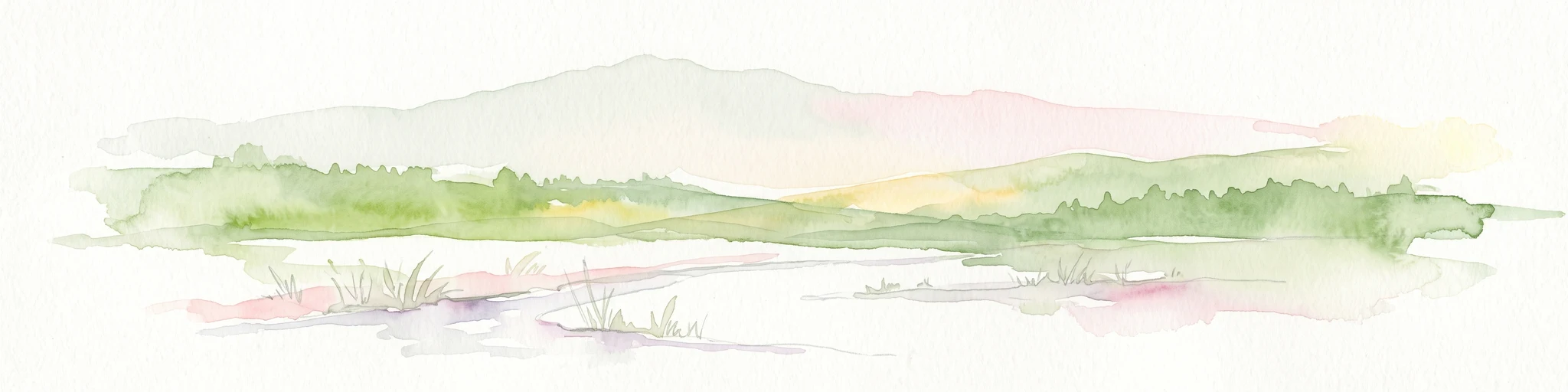
A soft watercolor illustration showing a low-lying landscape with gentle rolling hills, grassy foreground vegetation, and light, hazy atmospheric tones.
Nature reserveHauts-de-France
About 57 km away#10 closest

Northwest

Réserve naturelle régionale du marais de Condette: Wetland Geography and Protected Landscape

A vital ecological corridor within the Hauts-de-France region

Spanning 35 hectares, the Réserve naturelle régionale du marais de Condette protects a unique mosaic of marshland, peat-forming habitats, and forested massifs. This wetland reserve near the Opal Coast acts as an essential green infrastructure link, providing critical sanctuary for flora and fauna while maintaining hydrological balance in a heavily transformed northern French landscape.

Area
0.35 km²
Established
2009
IUCN
IV
Relief
Lowland
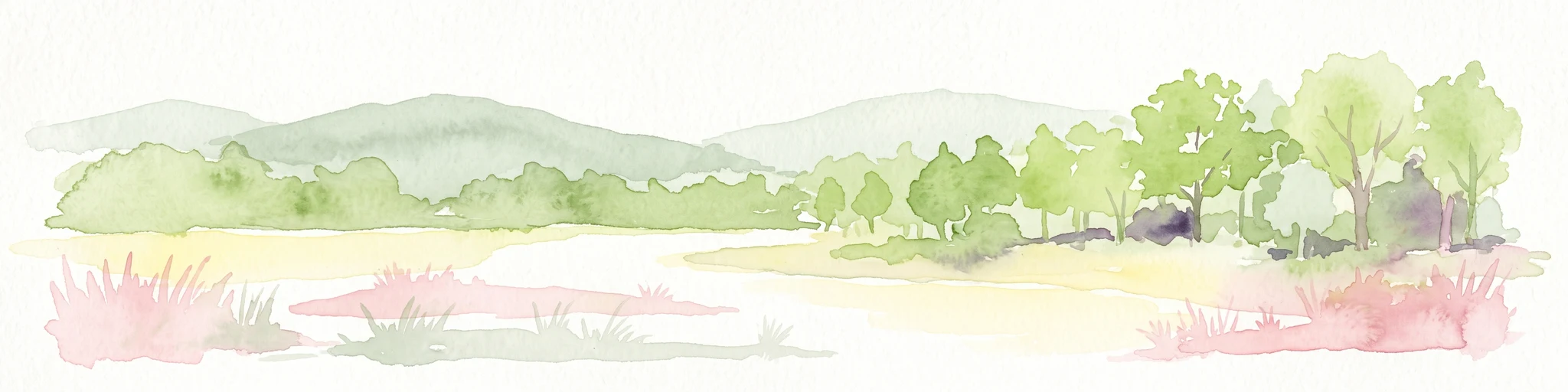
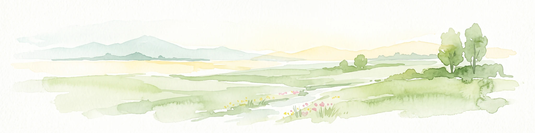
A soft watercolor painting of a green meadow, featuring gentle hills in the distance, a small stream flowing through the center, and a few scattered trees, all set against a white background.
Nature reserveHauts-de-France
About 62 km away#11 closest

North

Réserve naturelle régionale des prairies du Schoubrouck: Geography and Protected Area Overview

Wet-meadow habitats and historic watergang networks in northern France.

Located in the Hauts-de-France region, Réserve naturelle régionale des prairies du Schoubrouck provides a focused look at the cultural and ecological heritage of Flemish lowland landscapes. This site preserves an essential mosaic of wet grasslands and traditional drainage systems, serving as a key example of habitat-specific conservation stewardship within the rural fabric of the Nord department.

Area
0.102 km²
Established
2012
IUCN
IV
A soft watercolor painting showing a panoramic landscape with light green trees and low hills in the background, set against a pale, washed-out sky.
Nature reserveHauts-de-France
About 66 km away#12 closest

Northeast

Réserve naturelle régionale des prés du Moulin Madame: Regional Protected Meadow Map

Riverine floodplain landscapes in the Hauts-de-France region

The Réserve naturelle régionale des prés du Moulin Madame protects an 8.52 hectare corridor along the Lys river. This site highlights the preservation of traditional flood meadows that are increasingly rare in northern France. Users can examine the park boundaries, understand the flat lowland terrain, and trace the riverine geography that defines this unique protected cultural landscape.

Area
0.085 km²
Established
2015
IUCN
IV
Nature reserveHauts-de-France
About 70 km away#13 closest

East

Réserve naturelle régionale du marais de Wagnonville: Protected Wetland and Bog Geography

A resilient marshland ecosystem in the Douai urban landscape.

This reserve provides a comprehensive look at the surviving wetlands of the Escrebieux valley. Covering 20 hectares, the area hosts a dense variety of habitats from open ponds to rare sphagnum peat bogs, marking an essential node of biodiversity and ecological restoration within the northern French administrative landscape.

Area
0.2 km²
Established
1994
IUCN
IV
Relief
Lowland
Nature reserveHauts-de-France
About 72 km away#14 closest

North

Réserve naturelle régionale de Pont d'Ardres: Mapped Wetland Geography and Protected Lands

A restored industrial landscape in the Hauts-de-France coastal hinterland.

Situated southeast of Calais, this reserve represents a rare success in ecological restoration. The former sugar factory basins now provide vital habitats for shorebirds and nesting species, maintaining an essential wetland presence in an otherwise cultivated landscape of northern France.

Area
0.663 km²
Established
2012
IUCN
IV
Relief
Lowland
Nature reserveHauts-de-France
About 72 km away#15 closest

East

Réserve naturelle régionale des Annelles, Lains et Pont Pinnet: Protected Landscape Geography

A unique biodiversity refuge in the Hauts-de-France region of France.

The Réserve naturelle régionale des Annelles, Lains et Pont Pinnet showcases a dense patchwork of 26 natural habitats across a 14-hectare expanse. Its mapped boundaries reveal a mosaic of wet marshes, coal-shale terrils, and peat-forming ecosystems that support a significant variety of amphibians, dragonflies, and metallophyte flora. This protected area offers a clear look at how industrial landscapes can transition into essential botanical refuges within the northern French coal basin.

Area
0.146 km²
Established
2010
IUCN
IV
Relief
Lowland
Nature reserveHauts-de-France
About 72 km away#16 closest

Northwest

Réserve naturelle régionale du pré communal d'Ambleteuse: Regional Nature Reserve Geography

Coastal dune relics and protected marshland in Hauts-de-France.

This protected area provides an essential look at the coastal geography of the Opal Coast. Featuring a complex mosaic of ancient dune turf, dry heath, and wet meadows, the reserve stands as a landmark for biodiversity and traditional land management in northern France.

Area
0.605 km²
Established
1991
IUCN
IV
Relief
Lowland
Nature reserveHauts-de-France
About 73 km away#17 closest

North

Réserve naturelle régionale de la forteresse de Mimoyecques: Regional Nature Reserve Geography

Protected subterranean habitat and wartime heritage in Hauts-de-France.

Located in the rolling lowlands of the Pas-de-Calais, the Réserve naturelle régionale de la forteresse de Mimoyecques is a uniquely managed protected area. Its landscape integrates historical military architecture with modern biodiversity conservation, focusing on the protection of rare underground roosting environments for diverse bat species within the regional Hauts-de-France terrain.

Area
0.016 km²
Established
2012
Relief
Lowland
Climate
Temperate
Protected areaNord
About 73 km away#18 closest

East

Vallées de la Scarpe et de l'Escaut Protected Landscape Geography and Map Context

Wetland mosaic, subsidence lakes, and river floodplains in Nord

Examine the physical geography of the Scarpe and Escaut Valleys, a premier wetland site in northern France. The protected area features a mosaic of marshes, wet meadows, and mining-subsidence lakes that provide vital habitats for migratory waterbirds and support carbon storage through rare alkaline peatlands.

Area
276.22 km²
Established
2020
Relief
Lowland
Scope
Terrestrial
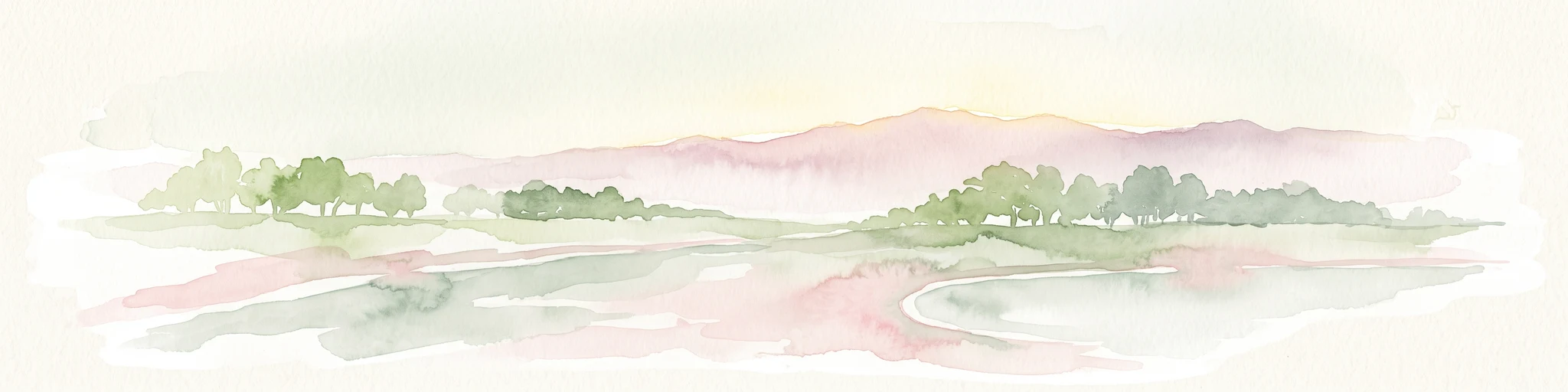
A horizontal watercolor painting showing a soft landscape with green vegetation, pink accents, and a winding body of water leading towards distant hills.
Nature reserveFrance
About 76 km away#19 closest

Northwest

Réserve naturelle régionale du mont de Couple: Protected Chalk Escarpment and Coastal Viewpoint

A limestone ridge sanctuary in the northern French Boulonnais region

Spanning a rare chalk cuesta in northern France, this protected area balances ecological conservation with distinct geological features. The reserve provides critical habitat for orchids and protected flora while serving as a strategic viewpoint across the Straits of Dover and the surrounding Opal Coast terrain.

Area
0.136 km²
Established
1997
Relief
Upland
Climate
Temperate
A soft, painterly watercolor illustration showing a winding river flowing through a lush green valley with rolling hills in the background.
Nature reserveHauts-de-France
About 77 km away#20 closest

East

Réserve naturelle régionale de l'Escaut-rivière: Protected Wetland and Alluvial Corridor

Regional nature reserve in the Hauts-de-France floodplain

Spanning sixty hectares in the Cambrésis plain, this reserve protects a unique alluvial floodplain mosaic. The site provides a critical habitat refuge of wet meadows and regenerating woodland, marking a significant success in ecological restoration and fluvial corridor protection along the Escaut river.

Area
0.594 km²
Established
2011
IUCN
IV
Relief
Lowland
Distance methodology

Geographic measurements, not driving distances

How nearby park distances are calculated

Distances use park boundaries whenever the available geometry allows it. When one or both boundaries are missing, the mapped park locations provide a clearly labelled estimate. Every value represents straight-line geographic separation and does not use roads or routing.

Boundary distance

Calculated between the nearest points of both park boundaries.

Location-to-boundary estimate

Estimated from one mapped park location to the nearest boundary of the other park.

Mapped-location estimate

Estimated between the mapped locations of both parks.

MoriAtlas Explorer

Trace the Chalk Plateaus of Réserve naturelle régionale de la Pâture Mille Trous

Examine the unique geological and ecological patterns defining the Réserve naturelle régionale de la Pâture Mille Trous in the Pas-de-Calais. MoriAtlas provides a structured view of this calcareous landscape, highlighting the intersection of industrial heritage and biological richness within the Authie valley. Begin exploring the boundaries and habitat distribution of this important northern French nature reserve.