East
Djurdjura National Park
Explore its mapped boundaries and protected area geography.
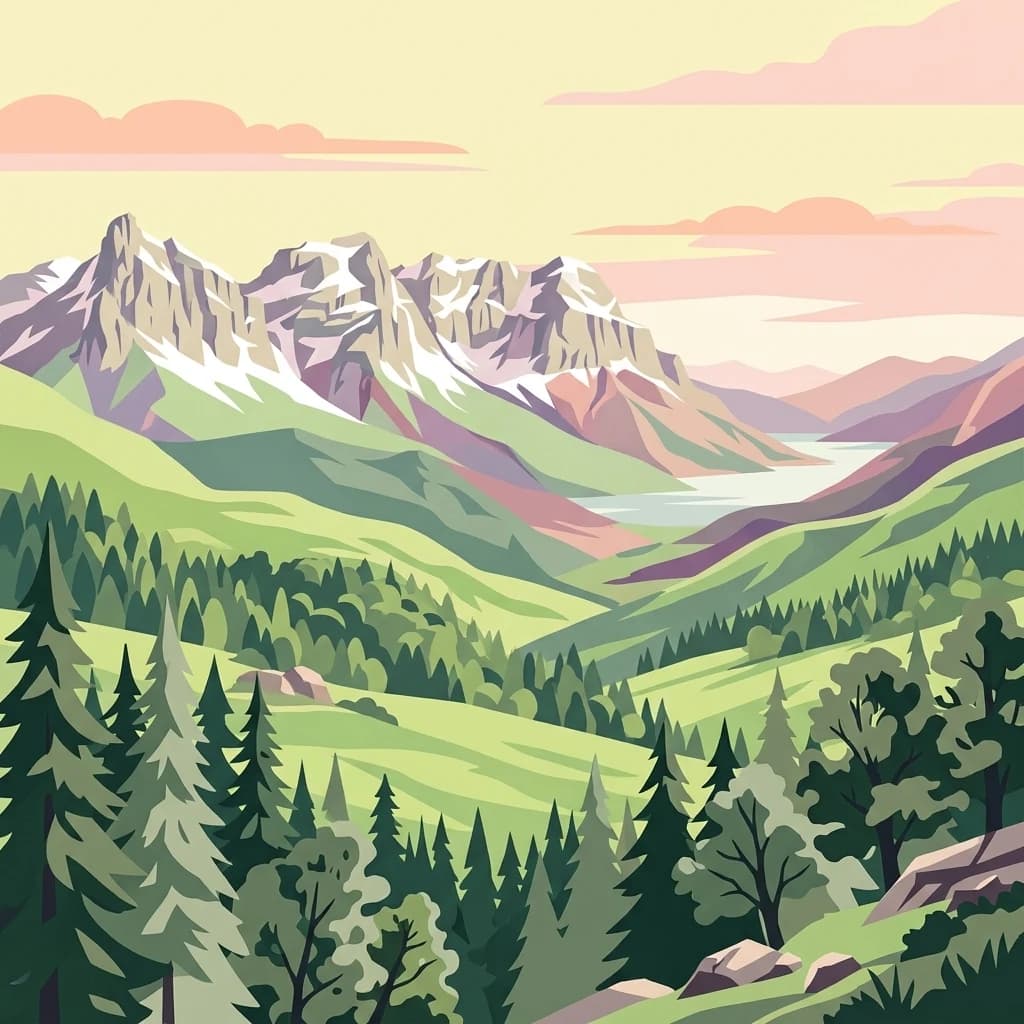
Djurdjura National Park, in Kabylia, Algeria. Landscapes: mountains, forests, and caves.
- Area
- 185 km²
- Established
- 1983
- IUCN
- II
- Visitors
- 500K annual
Geographic mapping of surrounding wilderness areas, forested terrain, and regional landscapes.
Examine the geographic distribution of protected lands in the proximity of Chréa National Park. This overview provides a clear visual context for the mountainous terrain, forest ecosystems, and varied landscape features characterizing the surrounding Algerian region, enabling a better understanding of how individual protected areas relate within this broader alpine environment.

Algeria's mountainous refuge of ancient cedar forests and endangered Barbary macaques
Chréa National Park is one of Algeria's largest and most ecologically significant protected areas, situated in the Blida Province within the Blidean Atlas mountain range, which forms part of the broader Tell Atlas system. The park encompasses approximately 260 square kilometers of mountainous terrain and was established in 1985 to protect the region's remarkable biodiversity and outstanding natural landscapes. Located near the town of Chréa, the park is distinguished by its ancient Atlas cedar forests, which represent one of the few remaining strongholds for this iconic tree species in North Africa. Beyond its ecological significance, Chréa contains one of Africa's rare ski stations where skiing is possible on natural snow, offering a unique combination of mountain recreation and wilderness preservation.
See the ranked park cluster in its geographic setting
Distance ranked collection and regional park geography for comparative analysis

East
Explore its mapped boundaries and protected area geography.
Djurdjura National Park, in Kabylia, Algeria. Landscapes: mountains, forests, and caves.
Southwest
Discover protected montane landscape and regional geography.
Théniet El Had National Park represents a significant protected landscape in Algeria, characterized by its towering Atlas cedar forests and dramatic mountainous terrain within the Tell Atlas range. Spanning elevations from 1,200 to over 2,200 meters, this national park offers a distinct example of Mediterranean mountain ecosystems. Its unique forest cover and rugged topography provide crucial habitat and watershed functions, making it a key location for understanding protected area geography and landscape context in North Africa.

East
Discover its mapped boundaries and regional geography.
Gouraya National Park, in Béjaïa Province, Algeria. Landscapes: mountains, cliffs, and forests.

East
Explore its unique mapped geography and conservation significance.
Taza National Park, situated in Algeria's Jijel Province, represents a crucial protected landscape where the Tell Atlas mountains meet the Mediterranean Sea. This 3,807-hectare national park is celebrated for its dramatic coastal cliffs, extensive cork oak and gall oak forests, the largest in Algeria, and its designation as a UNESCO biosphere reserve. The park's geography facilitates unique habitat zones, making it a key area for atlas-based discovery of North African biodiversity, including the Barbary macaque and Algerian nuthatch, within a landscape of exceptional natural beauty and conservation priority.

East
Explore its protected area boundaries and regional natural terrain.
Belezma National Park, in Batna Province, Algeria. Landscapes: mountains, forests, and grasslands.

North
Explore Mediterranean island geography and protected marine ecosystems.
Cabrera National Park, a protected maritime-terrestrial area in Spain's Balearic Islands, offers a unique focus for geographic discovery. This entry details the archipelago's distinct island geography, its mapped coastal and marine ecosystems, and its role within the Mediterranean. Users can explore the park's protected boundaries and understand its place in the regional atlas for a comprehensive view of Spain's island conservation landscapes.

Northwest
Nature reserve featuring historic salt pans and marine Posidonia habitats.
Spanning the southern Ibiza and northern Formentera coastlines, Parque natural de las Salinas is defined by its characteristic salt-pan geography and protected coastal wetlands. The reserve offers deep insight into the Mediterranean coastal environment, from its shallow marine channels and Es Freus islets to the preserved heritage of traditional salt production landscapes.

Southwest
Discover protected landscapes within Tlemcen Province.
Delve into Tlemcen National Park, an important protected landscape situated within Tlemcen Province. This detail page offers a focused exploration of its specific geographic identity, mapped park boundaries, and the natural terrain it encompasses, providing essential context for understanding its role in regional geography and protected land exploration within Algeria.

East
Explore its mapped geography and vital ecosystem context.
El Kala National Park, in El Taref Province, Algeria. Landscapes: hills, forests, and wetlands.
Southwest
Explore the geographic features and park boundaries.
Djebel Aissa National Park represents a key protected natural landscape within Algeria, serving as a vital point for atlas-driven geographic discovery. Users can explore the park's mapped boundaries and understand its role as a national park within the broader context of Algerian geography. This detailed view highlights the park's specific landscape identity and its contribution to the regional protected areas map, offering a focused look at its terrain and protected status.

West
Explore Spain's highest mountain range mapped across Andalusia's atlas.
Sierra Nevada National Park offers a profound exploration of Spain's highest alpine environments and a significant entry in the regional geography atlas. This protected area showcases classic glacial landforms, U-shaped valleys, and numerous high-mountain lakes, alongside a remarkable abundance of endemic plant species thriving in its unique microclimates. Understanding its mapped boundaries reveals a landscape vital for both biodiversity and watershed, situated prominently within the broader geographic context of Andalusia.

East
Explore geographic context within Jendouba Governorate.
Gain a clear understanding of El Feidja National Park's protected status and its geographic footprint. This page offers detailed insights into the park's mapped boundaries and landscape characteristics, situated within the Jendouba Governorate. It serves as a primary resource for atlas exploration, highlighting the natural terrain and regional significance of this Tunisian national park.

East
High elevation terrain in the Kasserine Governorate
Chambi National Park encompasses 67 square kilometers of rugged, high-altitude terrain in Tunisia. This resource maps the park's mountain ecosystem, from its forested valleys to its exposed rocky peaks, providing a structured overview of this significant protected landscape near the Algerian border.

East
Explore the mapped protected area and regional geography of Oued Zeen National Park.
Oued Zeen National Park is a designated national park in Tunisia, offering a crucial point for geographic exploration within the country's atlas. This page details its protected landscape identity, contributing to a structured understanding of regional natural areas and park boundaries. Users can examine its geographic setting and landscape context to deepen their appreciation of Tunisia's protected lands.

North
A regional atlas of river deltas and mountain massifs
Tierras del Ebro provides a comprehensive look at the environmental variety found in southern Catalonia. From the sediment-rich Ebro Delta to the jagged limestone cliffs of the Ports de Tortosa-Beseit, this region showcases a dramatic transition between riverine plains and Mediterranean mountain terrain within a single protected framework.

East
Explore the mapped geography of Jebel Chitana-Cap Négro National Park.
As a designated national park, Jebel Chitana-Cap Négro National Park represents a key protected area for understanding the regional geography of Bizerte Governorate. This entry provides structured information focused on the park's geographic scope, its mapped boundaries, and its significance as a protected landscape. It is designed for users seeking detailed, atlas-style context on Jebel Chitana-Cap Négro National Park's natural setting and its place within Tunisia's protected lands network.

West
Mapping the rugged Mediterranean boundary in Andalusia, Spain
Discover the complex geography of Acantilados de Maro-Cerro Gordo, a protected nature reserve defined by vertical cliffs exceeding 200 meters and isolated coastal coves. This atlas entry details the transition between Betic mountain terrain and marine ecosystems, documenting prominent headlands like Cerro Gordo and the biological richness of its protected reefs and seagrass meadows.

East
Explore the mapped geography and regional context of this Tunisian national park.
Ichkeul National Park, in Tunisia.

East
Explore its terrain and protected landscape context.
Jebel Serj National Park, established in 2010, safeguards a significant mountainous territory in central Tunisia, distinguishing itself from the broader semi-arid plains. This protected landscape showcases the Djebel Serj massif, a unique topographical feature that serves as an ecological bridge between Tunisia's northern and southern regions. Users exploring this page can gain an atlas-level understanding of the park's mapped boundaries, its geological character, and its contribution to the conservation of representative natural diversity within North Africa's transitional ecosystems.
Geographic measurements, not driving distances
Calculated between the nearest points of both park boundaries.
Estimated from one mapped park location to the nearest boundary of the other park.
Estimated between the mapped locations of both parks.
Delve deeper into the protected landscape of Chréa National Park to understand its role within Algeria's broader geography and its unique ecological characteristics. Examining its mapped boundaries and terrain reveals the importance of this national park for conservation and regional atlas exploration. Gain further insight into the distinct mountain ecosystems and natural heritage preserved within this key Algerian protected area.