South
Lanín National Park
Explore the protected area's mapped terrain and glacial lakes.
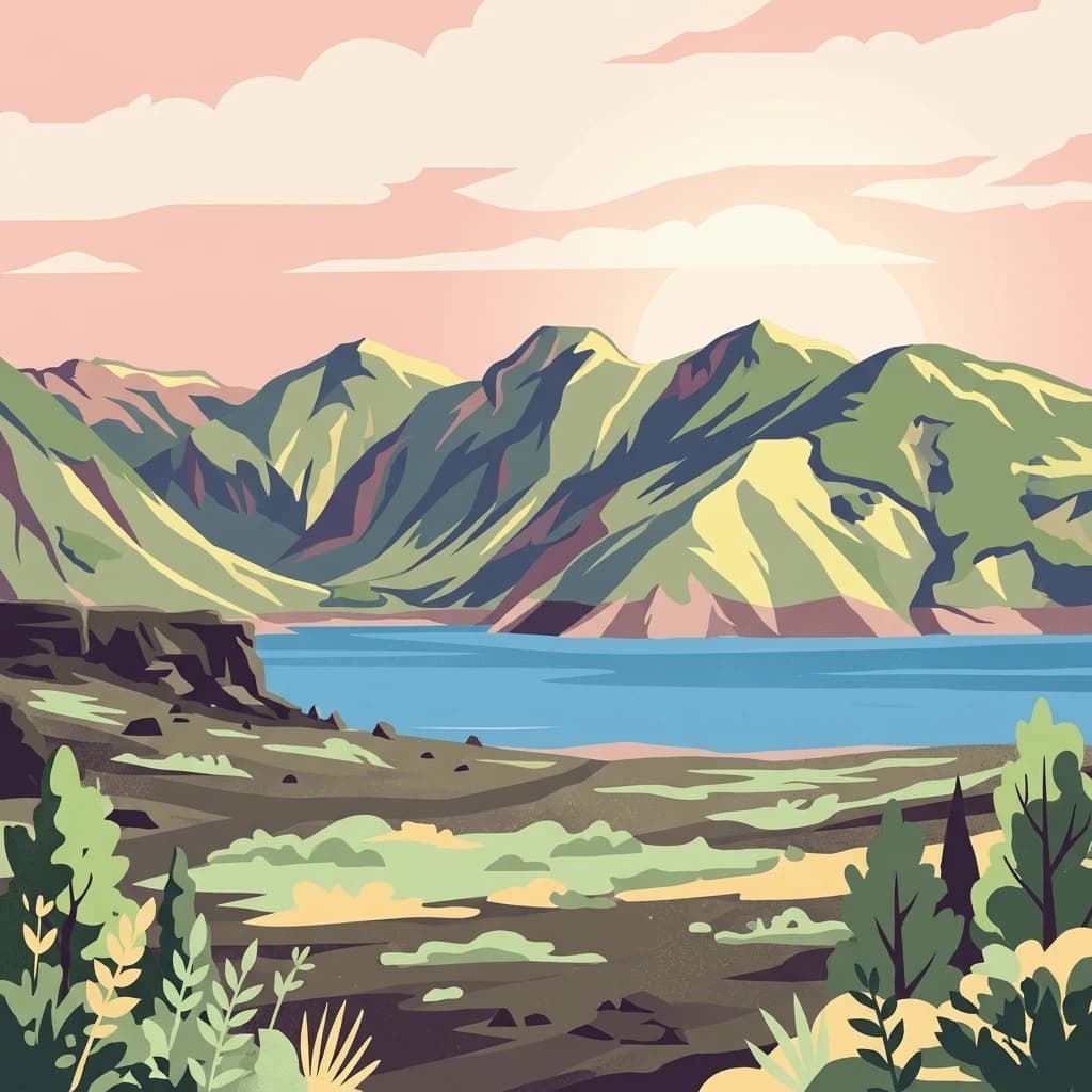
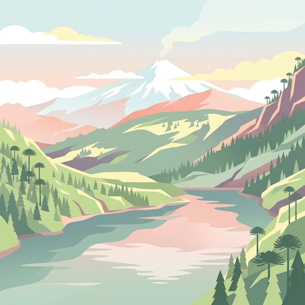
Lanín National Park, in Neuquén Province, Argentina. Landscapes: mountains, forests, and lakes.
- Area
- 3,790 km²
- Established
- 1937
- IUCN
- II
- Relief
- Mountain
Geographic landscape context and surrounding park distributions in southern Chile
Examine the geographic distribution of protected lands surrounding Huerquehue National Park within the diverse terrain of the La Araucanía Region. This landscape context overview maps the proximity and regional placement of nearby national parks and protected areas to provide a clear understanding of the surrounding Andean-Patagonian environment.

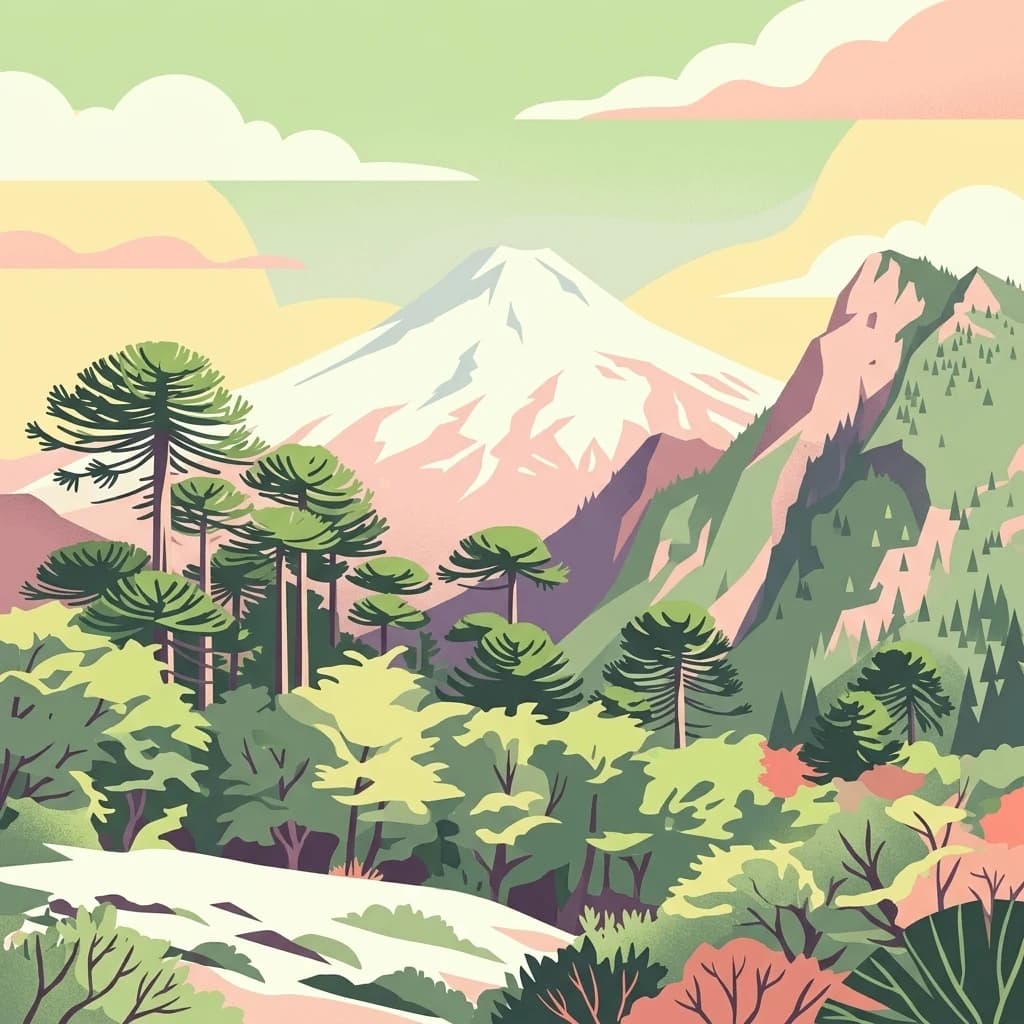
Andean temperate rainforest protecting ancient araucaria forests and crystal lakes in southern Chile
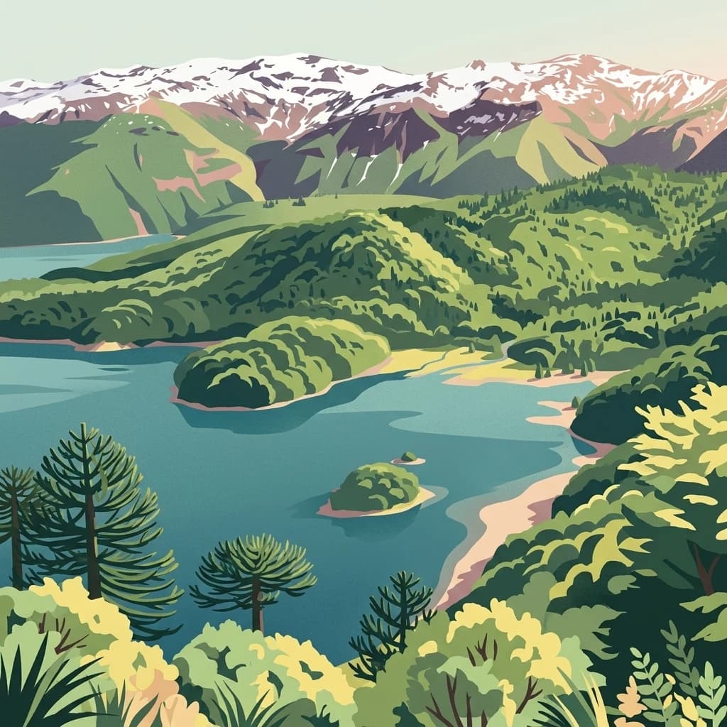
Huerquehue National Park is a protected area in the foothills of the Andes mountain range in southern Chile, situated within the La Araucanía Region. The park encompasses 125 square kilometers of mountainous terrain at elevations ranging from 720 to 2,000 meters above sea level, lying between the Villarrica National Reserve to the west and the Hualalafquén National Reserve to the east. The region is characterized by the Valdivia temperate rainforest, specifically the Andean-Patagonian forest ecosystem, making it a significant representative of Chile's southern forest environments. The park is renowned for its ancient araucaria forests, a species commonly known as the monkey puzzle tree, which dominates the landscape alongside clear lakes and lagoons that dot the protected area.
See the ranked park cluster in its geographic setting
Distance-ranked regional park geography and surrounding protected landscapes
South
Explore the protected area's mapped terrain and glacial lakes.
Lanín National Park, in Neuquén Province, Argentina. Landscapes: mountains, forests, and lakes.

Southwest
Mapped boundaries and regional geography exploration
Villarrica National Park represents a crucial protected area within the diverse geography of Chile's La Araucanía Region. This atlas-focused entry provides detailed geographic context and mapped park boundaries, essential for understanding the park's landscape identity. Explore the foundational elements of this national park for structured geographic discovery.

North
Discover unique terrain within La Araucanía Region's geography.
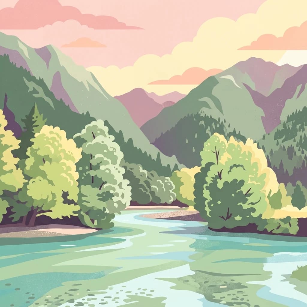
Conguillío National Park, in La Araucanía Region, Chile. Landscapes: mountains, valleys, and forests.

North
Explore the protected landscape and regional context of this park.
Tolhuaca National Park is a protected national park located in Chile, offering a distinct point for geographic and landscape discovery. This detailed view focuses on the park's mapped boundaries, its environmental setting within Chile, and its overall protected-area identity. Engage with structured data that clarifies its position in the broader atlas of natural landscapes, providing context for regional geography and conservation efforts.

East
Mapped protected area and regional landscape context.
Laguna Blanca National Park represents a key protected landscape within the expansive geography of Neuquén Province, located in the Patagonia region of Argentina. This national park entity serves as a critical node for atlas exploration, allowing users to understand its specific protected boundaries and its contribution to the regional protected-area network. Investigate Laguna Blanca National Park to gain insight into its unique geographic setting and its role within the mapped natural areas of Western Argentina.

South
Explore mapped natural terrain and park boundaries within Patagonia.
Nahuel Huapi National Park, in Río Negro Province, Argentina. Landscapes: mountains, hills, and valleys.

South
Explore Chile's dramatic Andean protected area.
Puyehue National Park is a key protected area in the Los Lagos Region of Chile, recognized for its distinctive volcanic landscapes and geothermal features. This detail page offers an atlas-centric view, highlighting the park's mapped boundaries, the terrain shaped by volcanoes like Puyehue, and its ancient temperate rainforest ecosystems. Understand its geographic context within the Andes and its significance as a protected national park.

Southwest
Discover mapped terrain and unique Valdivian ecosystem geography.
Alerce Costero National Park stands as a significant protected landscape in Chile's Los Ríos Region, celebrated for its ancient Fitzroya trees and as a sanctuary for the Valdivian temperate rainforest. The park's protected boundaries encompass rugged terrain within the Cordillera Pelada, offering insights into unique watershed geography and the resilience of an ancient forest ecosystem. Its diverse landscape, a mosaic of old-growth woods and natural clearings, provides essential habitat and a remarkable geographic context for atlas exploration.

South
Mapped park boundaries and natural terrain in Los Lagos Region.
Delve into the protected area identity of Vicente Pérez Rosales National Park, a significant national park situated in Chile's Los Lagos Region. This detailed exploration focuses on understanding the park's geographic setting, its mapped landscape features, and its contribution to the regional atlas of protected territories. Discover the natural terrain and boundary context that define this unique Chilean landscape.

South
Explore the ancient arrayán forest and mapped terrain.
Los Arrayanes National Park, nestled in Neuquén Province, is celebrated for its exceptional arrayán forest, one of the world's most concentrated stands of Luma apiculata. This protected area showcases a unique landscape where ancient, gnarled trees with striking cinnamon bark thrive on the Quetrihué Peninsula, overlooking Nahuel Huapi Lake. Its protected status ensures the preservation of this botanical marvel, offering a distinct geographical and ecological profile within the Patagonian region.

Northwest
Discover its mapped boundaries atop the Cordillera de Nahuelbuta.
Nahuelbuta National Park is a significant national park in Chile's La Araucanía Region, celebrated for its ancient monkey puzzle tree forests atop the Cordillera de Nahuelbuta. This protected area showcases a unique highland landscape with rugged terrain and exposed rocky outcrops, preserving species more typical of Andean and Patagonian environments. Understanding its mapped geography and protected landscape identity is key to appreciating its ecological importance and distinct position within South America's natural atlas.

North
Explore regional park geography and landscape context.
Laguna del Laja National Park represents a key protected area with distinct geographic attributes within the Bío Bío Region. This profile focuses on its identity as a national park, providing context for its mapped boundaries and natural landscape. Discover its place in regional geography, offering valuable insights for any atlas-focused exploration of Chile's protected lands.

South
Explore the national park's mapped boundaries and regional context.
Delve into the protected landscape of Alerce Andino National Park, a distinct national park entity situated in Chile's Los Lagos Region. This focus provides a clear understanding of its geographic setting, highlighting its importance within regional conservation efforts and offering a detailed view of its mapped terrain. Understand the park's place in the southern Chile geography through this detailed exploration.

South
Explore the national park's mapped boundaries and regional context.
Hornopirén National Park serves as a crucial protected landscape within Chile's Los Lagos Region. This dedicated park page offers detailed insight into its geographic setting, emphasizing mapped boundaries and its identity as a national park. Users can explore how Hornopirén National Park contributes to the regional geography and protected-area framework, providing a grounded point for landscape discovery.

South
Explore its glacial terrain and Andean-Patagonian geographic context.
Lago Puelo National Park, located in Argentina's Chubut Province, stands out as a significant protected area due to its remarkable ecological diversity. This park is distinguished by its rare transition zone where the Patagonian forest converges with the Andean steppe, incorporating flora typically found in the Valdivian temperate rainforest. The mountainous landscape, carved by glaciers, features the striking turquoise waters of Puelo Lake and surrounding river systems. Understanding Lago Puelo National Park's geography provides insight into the complex natural systems of Patagonia and its unique protected biomes.

South
Discover the park's protected landscape and regional geography.
Los Alerces National Park, in Argentina. Landscapes: mountains, valleys, and lakes.

Southwest
Explore its unique protected landscape and regional geography.
Chiloé National Park represents a significant protected natural area within the Los Lagos Region of Chile. This detailed page offers an atlas-centric view, focusing on the park's mapped boundaries, its place in the regional geography, and the overall protected landscape character. Gain structured insight into this important component of southern Chile's conservation lands, ideal for geographic exploration and atlas context.

North
Mapped protected landscape in Maule Region, Chile.
Radal Siete Tazas National Park showcases a remarkable cascade of seven natural rock pools and waterfalls along the Claro River, a defining feature within its steep pre-Andean topography. This national park in Chile's Maule Region offers a landscape rich with volcanic influences and dramatic riverine erosion. Users can explore its distinct terrain, mapped boundaries, and the striking visual geography that makes this protected area a significant natural landmark for atlas-based discovery.

South
Detailed geography of Chile's remote coastal wilderness and marine estuaries
Corcovado National Park stands as a significant protected area in southern Chile, encompassing dramatic volcanic peaks and an extensive collection of glacial lakes. Its mapped boundaries reveal a remote wilderness where pristine temperate rainforests transition into the brackish estuaries of the Gulf of Corcovado, supporting vital marine ecosystems and critical blue whale populations.
Southeast
Protected volcanic steppe and wetland landscapes in Río Negro Province
Somuncurá Provincial Reserve encompasses a dramatic volcanic tableland in northern Patagonia. This protected area features basalt steps, arid steppe plains, and small lagoons that support endemic life. The region provides a deep look at the geological forces and isolated ecosystems that shape the high-elevation terrain spanning across Río Negro Province.
Geographic measurements, not driving distances
Calculated between the nearest points of both park boundaries.
Estimated from one mapped park location to the nearest boundary of the other park.
Estimated between the mapped locations of both parks.
Gain deeper insights into the geographic context and protected landscape features of Huerquehue National Park by examining its mapped terrain and regional setting. Understanding this national park's unique natural characteristics provides valuable perspective for broader atlas exploration of Chile's protected areas and mountainous ecosystems. Delve further into its protected features and natural geography.