West
Jostedalsbreen National Park
Mapped terrain and protected area discovery in Vestland, Norway.
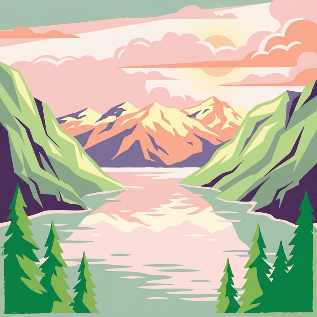
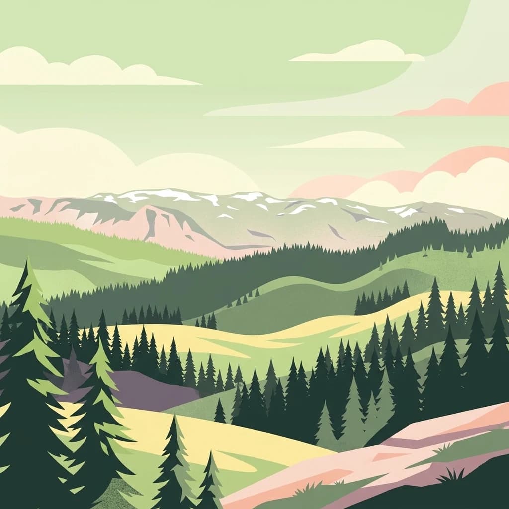
Jostedalsbreen National Park, in Vestland, Norway. Landscapes: mountains and glaciers.
- Area
- 1,310 km²
- Established
- 1991
- IUCN
- II
- Relief
- Mountain
Geographic landscape context for the broader high mountain region surrounding the park
Compare protected areas near Jotunheimen National Park, ordered by geographic distance. They include Jostedalsbreen and Rondane.

Home of the Giants, Norway's premier alpine wilderness
Jotunheimen National Park is Norway's most iconic mountainous protected area, spanning 1,151 square kilometres across the counties of Vestland and Innlandet in southern Norway. The park encompasses the core of the greater Jotunheimen region, a vast alpine landscape where more than 250 peaks rise above 1,900 metres, including the three highest summits in Northern Europe: Galdhøpiggen at 2,469 metres, Glittertind at 2,452 metres, and Store Skagastølstind at 2,405 metres. The name Jotunheimen, meaning "Home of the Giants," was coined by poet Aasmund Olavsson Vinje in 1862, adopting an earlier designation from geologist Baltazar Mathias Keilhau. Established by royal decree in December 1980, the park protects one of Norway's premier hiking and fishing regions, with a network of Norwegian Mountain Touring Association huts making it one of the most accessible wilderness areas in Europe. The landscape is carved from ancient Precambrian gabbro massifs, shaped by glacial erosion into dramatic valleys, sharp ridges, and towering cirques that define the character of this High Arctic alpine environment.

See the ranked park cluster in its geographic setting
Geographic proximity and environmental comparison across surrounding regional landscapes

West
Mapped terrain and protected area discovery in Vestland, Norway.
Jostedalsbreen National Park, in Vestland, Norway. Landscapes: mountains and glaciers.

Northeast
Mapped glacial terrain, iconic peaks, and wild reindeer sanctuary.
As Norway's first national park, Rondane offers a profound exploration of a protected alpine environment. Situated in Innlandet county, its 963 square kilometers showcase a landscape sculpted by glaciers, featuring a striking array of ten peaks exceeding 2,000 meters. This page details Rondane National Park's distinct mapped boundaries, dramatic mountain geography, and its ecological significance as a refuge for wild reindeer, making it a cornerstone of Scandinavian natural heritage.

West
Norway's prominent national park featuring active glaciers and alpine geography.
Breheimen National Park represents a significant protected landscape within Norway's Innlandet region, dedicated to conserving its unique glacial formations and dramatic alpine terrain. The park's vast area encompasses active glaciers, soaring peaks, and a notable diversity of natural environments, from lush valleys to barren plateaus. MoriAtlas facilitates a detailed exploration of Breheimen National Park, highlighting its mapped protected boundaries and its integral role in the regional geography and protected areas atlas.

Southeast
Discover mapped boundaries and regional geographic context.
Langsua National Park, a designation expanded in 2011, is a prominent protected area in Norway's Innlandet county. This national park encompasses 537.1 square kilometers of diverse mountainous terrain, characterized by extensive mountain forests and inland wilderness habitats. Its creation consolidates fragmented nature reserves into a significant contiguous protected landscape, offering valuable insight into Norway's conservation strategies and the geographic context of its eastern mountain regions.

North
Map of protected boundaries and diverse mountain terrain.
Reinheimen National Park is a cornerstone of Norway's protected areas, encompassing a substantial portion of Western Norway's alpine wilderness. This national park protects a dynamic landscape characterized by dramatic western peaks and gentler eastern plateaus, providing critical habitat for wild reindeer and other wildlife. Its extensive mapped boundaries and varied natural terrain offer a rich subject for geographic discovery and atlas exploration, highlighting the ecological significance of well-preserved mountain ecosystems within Innlandet.

Northeast
Explore its protected boundaries, mountain terrain, and unique ecological significance.
Dovrefjell, Sunndalsfjella National Park, in Innlandet, Norway. Landscapes: mountains, valleys, and rivers.

Northeast
A vital bridge for mountain migration in Innlandet, Norway.
Fokstugu landskapsvernområde protects a unique mix of alpine terrain, geological formations, and cultural mountain heritage across the Dovrefjell plateau. Serving as a connective corridor between major national parks, this protected area maintains essential migratory paths for wild reindeer and preserves traditional Norwegian upland farming features.

Northeast
Norway's protected mountain plateau landscape and wildlife corridor.
Dovre National Park is a significant protected area in Innlandet, Norway, characterized by its expansive alpine plateau terrain and role as a vital ecological corridor for wild reindeer. This national park offers users an atlas-level view of its mapped natural boundaries, focusing on the unique subarctic mountain landscape and its conservation importance. Understand Dovre National Park's geographic identity and its contribution to a contiguous network of protected lands.

South
Mapping glacial terrain, alpine environments, and wild reindeer habitat.
Hallingskarvet National Park offers a unique window into Norway's geological history and alpine ecology. This protected landscape encompasses the striking Hallingskarvet plateau and the Vargebreen glacier, along with deep valleys carved by ancient ice. Users can explore the park's mapped boundaries, understand its regional geographic setting in Scandinavia, and appreciate its conservation value as a habitat for wild reindeer. The park's terrain provides a concrete example of glacial shaping and high-altitude ecosystems within the Nordic context.

South
Explore Norway's largest national park and its unique tundra ecosystem.
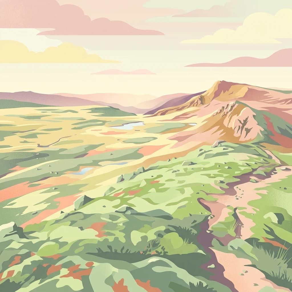
Hardangervidda National Park, in Vestland, Norway. Landscapes: plateaus, hills, and valleys.

Southeast
Mapped terrain of high-lying plateaus, ancient coniferous forests, and wetland mosaic.
Vikerfjell naturreservat serves as a vital protected area for old-growth coniferous forests and vulnerable lichen species. This atlas provides a detailed view of its mountain plateaus, forested slopes, and the expansive mire systems that characterize this key southern Norwegian conservation landscape within the Ringerike municipality.

Northeast
Explore unique terrain and vital wild reindeer habitat in Central Norway.
MoriAtlas provides structured geographic context for Forollhogna National Park, Norway's nineteenth national park. This area is best known for its distinctively gentle, rolling alpine terrain, a contrast to other Norwegian mountain ranges, and as a critical habitat for wild reindeer. Discover the park's unique landscape character, its role as a protected area, and the ongoing cultural traditions tied to its mountain pastures, all visualized within a comprehensive atlas framework.

Southwest
Mapped glacial terrain and park boundaries in Vestland.
Folgefonna National Park in Vestland, Norway, stands as a premier protected area defined by its vast ice cap and dramatic glacial geography. This page details the park's mapped boundaries, showcasing its impressive glacial formations, U-shaped valleys, and distinct alpine landscapes. Understand the geographic context and protected status of Folgefonna National Park, a key destination for exploring Norway's glacier heritage through an atlas-driven lens.
Southeast
A vital Ramsar wetland and avian sanctuary in Southern Norway
Åkersvika naturreservat functions as a key wetland protected area at the northern end of Lake Mjøsa. The reserve preserves diverse aquatic habitats including shallow bays, reed beds, and shoreline meadows. It serves as a landmark example of lowland wetland conservation in Norway, providing essential breeding and migration grounds for waterfowl and waders within the Innlandet geographic context.

East
Explore Norway's unique subarctic forest geography and park boundaries.
Gutulia National Park stands as a key protected area within Norway's Innlandet region, distinguished by its role in preserving the country's southernmost mountain birch forest ecosystem. Covering approximately 23 square kilometers, this national park provides critical insights into subarctic forest ecology at the southern extent of its natural range. MoriAtlas enables detailed exploration of its mapped terrain and geographic context, offering a valuable resource for understanding this significant protected landscape.

Northeast
Mapped boundaries and regional geography in Innlandet.
Femundsmarka National Park in Innlandet, Norway, offers a profound look into a preserved wetland wilderness characterized by vast marshlands, numerous lakes, and scattered boreal forests. As a designated national park, its ecological significance is tied to the surrounding water systems and the unique landscape stretching towards the Swedish border. This entry provides detailed geographic context, mapping information, and an understanding of its protected area status, inviting exploration of its remote boreal terrain and notable wildlife habitats.

East
Sweden's southernmost alpine plateau, mapped geography, and natural wonders.
Fulufjället National Park, in Dalarna County, Sweden. Landscapes: mountains, plateaus, and valleys.

East
Remote protected landscape within Dalarna County, Sweden.
Töfsingdalen National Park showcases a rare example of an ancient, up-to-500-year-old pine forest thriving in extremely rugged, boulder-strewn valley terrain. This protected area, located in Sweden's Dalarna County, offers a glimpse into a near-wilderness landscape shaped by glacial forces and defined by its remoteness and ecological integrity. Discover the mapped park boundaries and the unique geographic context of this remarkably untouched natural reserve.

East
Explore mapped boundaries, rolling terrain, and transboundary conservation.
Fulufjellet National Park offers a detailed look at a protected boreal forest ecosystem in southeastern Norway. This page details the park's gently rolling hills, dominated by Norway spruce and Scots pine, interspersed with lakes and peat bogs. It highlights the park's designation as a national park, its establishment in 2012, and its contiguous protected status with Sweden's Fulufjället National Park, contributing to a significant transboundary conservation area. Users can explore its geographic features and protected landscape context within Scandinavia.

Southeast
Protected wetland landscapes and river delta terrain in Akershus
The protected land of Nordre Øyeren naturreservat comprises a vast mosaic of mudflats, islands, and river channels formed where three major rivers meet lake Øyeren. This detailed atlas entry explores the geographic significance of the bird's foot delta structure, providing context on its role as a critical inland wetland for migratory waterfowl within the Akershus region.
Geographic measurements, not driving distances
Calculated between the nearest points of both park boundaries.
Estimated from one mapped park location to the nearest boundary of the other park.
Estimated between the mapped locations of both parks.
Explore the map, landscapes, and protection details for Jotunheimen National Park.