Mori Atlas logo
Nearby park discovery

Explore the regional geography and mapped landscape context of surrounding protected lands

Protected Areas and National Parks Near Laem Son National Park in Thailand

Trace the geographic distribution of protected areas and national parks situated near Laem Son National Park along the Andaman Sea coast. This regional atlas view provides a mapped perspective on the proximity of surrounding wilderness zones and coastal conservation areas within the broader Ranong landscape.

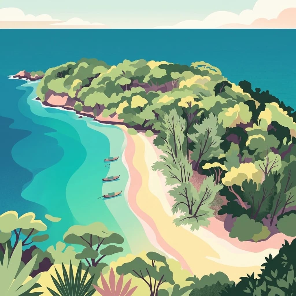
A stylized vector illustration of a tropical coastline with a sandy beach, lush green forest canopy, and three small boats anchored in turquoise water.

Thailand's longest protected coastline with beaches, mangroves, and offshore islands

Laem Son National Park

Laem Son National Park is a coastal protected area spanning the Ranong and Phangnga provinces on Thailand's Andaman Sea coast. Established in 1983, it covers approximately 315 square kilometers and encompasses 100 kilometers of shoreline, making it Thailand's longest stretch of protected coast. The park takes its name from the pine-covered cape that marks its central feature. Its landscape blends sandy beaches, coral reefs, extensive mangrove swamps, and pristine rainforest, with roughly twenty offshore islands visible from the mainland shore. The park holds Ramsar Wetland designation and serves as a critical habitat for migratory birds, marine life, and notable primate populations. Its remote location and relatively undeveloped character offer a wilderness experience distinct from Thailand's more heavily touristed island destinations.

Location
Thailand
Park type
National park
Established
1983
Area
315 km²
Laem Son National Park Atlas
Regional park map

See the ranked park cluster in its geographic setting

Nearby parks around Laem Son National Park

This regional map shows the same 20 nearby parks ranked below around Laem Son National Park. Select a ranked marker to highlight that park’s boundary where boundary data is available.
Reference park: Laem Son National ParkRanked nearby park20 nearby parks shown
20 nearby parks

Distance-ranked collection and regional park geography for comparative analysis

Parks and Protected Areas Geographically Near Laem Son National Park

Geographic proximity measurements establish a ranked sequence of protected areas surrounding Laem Son National Park based on boundary separation and directional mapping. Evaluating these surrounding landscapes provides structured context for regional terrain patterns without assuming shared ecological traits.
A stylized digital illustration of a waterfall flowing through a rocky, forested canyon with trees in the foreground.
National parkPhang Nga Province
About 50 km away#1 closest

South

Si Phang-nga National Park: Protected Landscape Identity and Geographic Context in Phang Nga

Explore the park's mapped boundaries and unique karst landscape.

Si Phang-nga National Park stands as a key protected area, distinguished by its extraordinary limestone karst formations that dominate the coastal geography of Phang Nga Province, Thailand. The park's protected landscape features include dramatic pinnacles rising from mangrove-lined waters and intricate cave systems with archaeological significance. Delve into the unique natural terrain and map context that define this vital national park, offering a deep dive into its geological history and ecological importance.

Area
246 km²
Established
1988
IUCN
II
Visitors
21.3K annual
National parkSurat Thani Province
About 55 km away#2 closest

Southeast

Kaeng Krung National Park: Exploring Protected Area Boundaries and Regional Geography

A National Park within Surat Thani Province's diverse landscapes.

Kaeng Krung National Park is a distinct protected area situated in Surat Thani Province, Thailand. This page provides essential context for understanding the park's geographic significance, its mapped boundaries, and its contribution to the regional protected landscape atlas. Explore the fundamental geographic characteristics that define this important natural reserve and its surrounding terrain.

Area
541 km²
Established
1991
IUCN
II
Visitors
909 annual
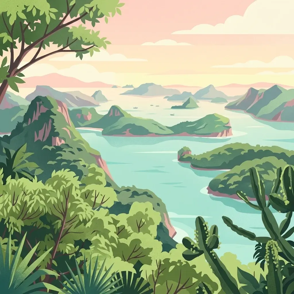
A digital illustration of a calm sea landscape with dramatic, steep limestone islands covered in green vegetation under a soft, pastel-colored sky.
National parkThailand
About 69 km away#3 closest

West

Mu Ko Surin National Park: Mapped Marine Protected Area in Thailand's Andaman Sea

Explore unique island geography and vibrant coral reef landscapes.

Mu Ko Surin National Park is a national park comprising a series of islands within Thailand's Andaman Sea, recognized for its exceptional marine biodiversity and well-preserved coral reefs. This protected area showcases a distinctive landscape where dense tropical forests meet extensive underwater ecosystems, offering a prime example of coastal natural geography. Understanding Mu Ko Surin National Park through its mapped boundaries and ecological significance provides valuable insight into Thailand's protected natural heritage and its role in regional conservation.

IUCN
II
Scope
Marine
A digital illustration of a prominent limestone karst formation rising above a calm lake in a tropical rainforest setting, with lush vegetation and small huts visible on the shore.
National parkSurat Thani Province
About 74 km away#4 closest

South

Khao Sok National Park

Explore mapped boundaries and regional terrain in Surat Thani Province.

Khao Sok National Park, in Surat Thani Province, Thailand. Landscapes: mountains, cliffs, and forests.

Area
739 km²
Established
1980
IUCN
II
Visitors
419.5K annual
A stylized vector illustration of a tropical landscape with towering limestone mountain peaks, multiple cascading waterfalls, dense jungle vegetation including bamboo and palm trees, and a soft sunset sky.
National parkSurat Thani Province
About 86 km away#5 closest

South

Khlong Phanom National Park: Protected National Park in Surat Thani Province, Southern Thailand

Discover its mapped boundaries and regional landscape context.

Khlong Phanom National Park is a designated national park providing valuable insight into the natural geography of Surat Thani Province. This protected landscape serves as a key entity for understanding regional terrain and the distribution of conservation areas in Southern Thailand. Explore its mapped geographic features and protected boundaries to gain a structured understanding of its place within the national park atlas.

Area
410 km²
Established
2000
IUCN
II
Visitors
1.7K annual
A stylized digital illustration of a dense tropical forest hillside at sunset, with soft gradients of green, pink, and orange.
National parkPhang Nga Province
About 102 km away#6 closest

South

Khao Lak, Lam Ru National Park: Protected National Park Landscape and Geography

Explore its mapped boundaries and regional context in Phang Nga Province.

This entry focuses on Khao Lak, Lam Ru National Park, a designated national park offering a distinct protected landscape within Phang Nga Province, Thailand. It provides structured data and map context crucial for understanding its geographic scope and regional significance. Explore the park's mapped boundaries, its role as a protected area, and its contribution to the broader landscape of southern Thailand, fostering a deeper appreciation for its natural geography and atlas-derived insights.

Area
125 km²
Established
1991
IUCN
II
Visitors
72.2K annual
National parkChumphon Province
About 109 km away#7 closest

Northeast

Mu Ko Chumphon National Park: Mapped Archipelago and Marine Protected Landscape

Explore island geography and tropical rainforests in Chumphon Province.

Mu Ko Chumphon National Park offers a deep dive into an island archipelago landscape located in Chumphon Province. This protected area is characterized by numerous islands featuring tropical rainforests atop hilly terrain that slopes down to white-sand beaches and clear gulf waters. Examine the mapped extent of its protected marine environment and the diverse ecosystems supporting coral reefs and unique swiftlet nesting sites, providing a rich geographic context for atlas exploration.

Area
317 km²
Established
1999
IUCN
II
Relief
Mixed relief
A vibrant digital illustration of a lush tropical archipelago with green karst islands rising from calm turquoise waters at sunrise.
National parkSurat Thani Province
About 130 km away#8 closest

East

Mu Ko Ang Thong National Park

Explore mapped boundaries within Surat Thani Province, Thailand.

Mu Ko Ang Thong National Park, in Surat Thani Province, Thailand. Landscapes: islands, coasts, and beaches.

Area
102 km²
Established
1980
IUCN
II
Visitors
134.3K annual
A digital illustration of a calm tropical bay with dramatic limestone karst islands, a small long-tail boat, and lush foreground vegetation under a warm sunset sky.
National parkThailand
About 133 km away#9 closest

South

Ao Phang Nga National Park

Explore the mapped landscape and protected area identity.

Ao Phang Nga National Park, in Thailand. Landscapes: islands, cliffs, and forests.

Area
400 km²
Established
1981
IUCN
II
Visitors
999K annual
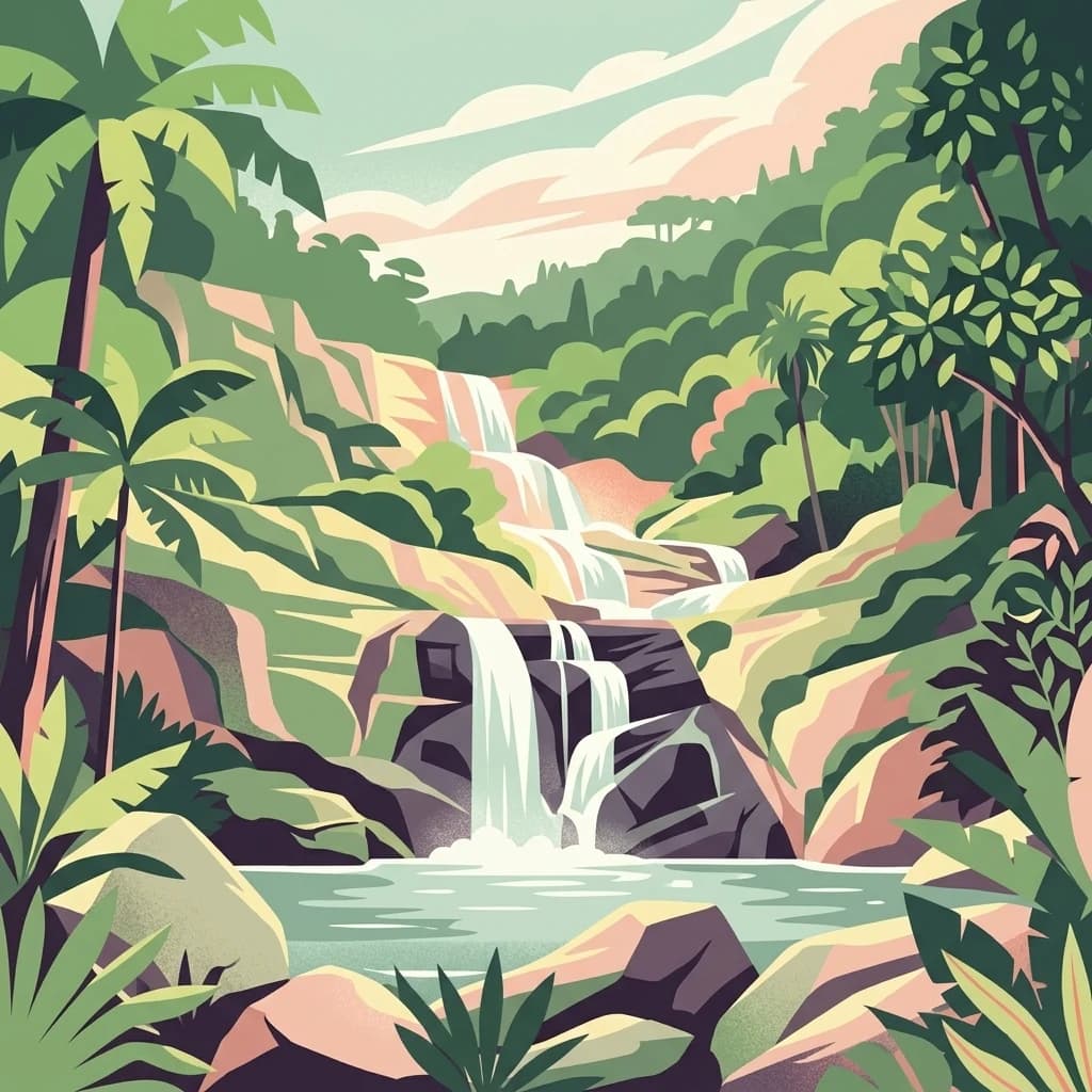
A stylized, colorful illustration of a multi-tiered waterfall cascading down rocky cliffs into a pool, surrounded by tropical palm trees and dense jungle foliage.
National parkPhang Nga Province
About 133 km away#10 closest

South

Khao Lampi, Hat Thai Mueang National Park: Mountain Rainforest and Andaman Coast Atlas

Explore the mapped geography and protected boundaries.

Delve into Khao Lampi, Hat Thai Mueang National Park, a key protected area within Phang Nga Province, Thailand. This unique national park showcases a striking dichotomy: the lush, waterfall-adorned slopes of the Khao Lampi mountains contrast with the pristine Andaman Sea coastline of Hat Thai Mueang beach, a critical site for sea turtle nesting. The park's mapped landscape encompasses dense tropical rainforest, significant mangrove ecosystems, and important natural terrain, offering a comprehensive view of diverse protected environments for atlas exploration.

Area
72 km²
Established
1986
IUCN
II
Visitors
50.5K annual
National parkThailand
About 135 km away#11 closest

Southeast

Tai Rom Yen National Park: Thailand's Protected Landscape and Geographic Context

Explore the mapped boundaries of this national park.

Tai Rom Yen National Park is a protected area contributing to Thailand's significant natural landscape. This page focuses on its identity as a national park, detailing its geographic placement and the importance of its mapped boundaries. Users exploring the atlas of Southeast Asia will find this park a valuable point of reference for understanding regional protected territories and their landscape characteristics, free from any operational or visitor information.

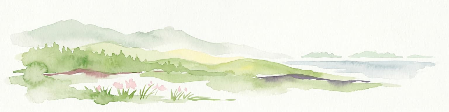
Watercolor illustration of a coastal landscape with rolling hills, green vegetation, pink flowers, and a body of water in the background
National parkThailand
About 139 km away#12 closest

Southwest

Mu Ko Similan National Park

Mapped island terrain, coral reef atlas, and marine protected landscape identity.

Mu Ko Similan National Park, in Thailand. Landscapes: islands, coasts, and beaches.

Area
140 km²
Established
1982
IUCN
II
Visitors
912K annual
A stylized digital illustration of a lush tropical river landscape, featuring dense trees and foliage on riverbanks, a winding river, and distant mountains under a soft sunlit sky.
National parkTanintharyi Region
About 139 km away#13 closest

North

Lampi Island Marine National Park National Park: Geographic Atlas and Protected Landscape Overview

Discover mapped boundaries and regional park geography.

Lampi Island Marine National Park is a designated national park offering a focused lens on protected landscapes and regional geography. Explore its precise mapped boundaries and understand its place within the Tanintharyi Region's natural terrain. This profile is designed for atlas-based discovery, providing essential geographic context for the park and its role as a conservation area.

Area
204.8 km²
Established
1996
IUCN
II
Relief
Mixed relief
A flat-style digital illustration depicting a multi-tiered waterfall flowing over rocky ledges into a pool, surrounded by dense tropical foliage and palm-like plants.
National parkKrabi Province
About 150 km away#14 closest

South

Khao Phanom Bencha National Park: Protected Mountainous Rainforest and Waterfall Landscapes

Explore Krabi Province's unique protected area and its dramatic geographic features.

Khao Phanom Bencha National Park represents a core protected landscape within Krabi Province, Thailand. Dominated by the imposing Khao Phanom Bencha mountain range, its terrain includes steep, forested slopes and intricate valley systems that give rise to impressive waterfalls. This national park is an essential component of the region's protected natural areas, offering a detailed look at its unique ecosystem and geographic character through mapped landscape context and atlas exploration.

Area
50 km²
Established
1981
IUCN
II
Visitors
17.3K annual
A stylized digital illustration of a tropical beach coastline with rocky foreground, palm trees, and rolling mountains in the distance under a warm-toned sky.
National parkNakhon Si Thammarat Province
About 158 km away#15 closest

East

Hat Khanom, Mu Ko Thale Tai National Park: National Park, Nakhon Si Thammarat Province, Thailand

Discover mapped boundaries and regional landscape context.

Hat Khanom, Mu Ko Thale Tai National Park is a designated national park offering a protected landscape within the geographic scope of Nakhon Si Thammarat Province. This entity provides a structured point for understanding its specific protected-area identity, its mapped terrain, and its contribution to the broader regional geography. Explore its geographic significance and atlas-relevant details to grasp its place in Thailand's natural landscape.

Area
312 km²
IUCN
II
Relief
Mixed relief
Climate
Tropical
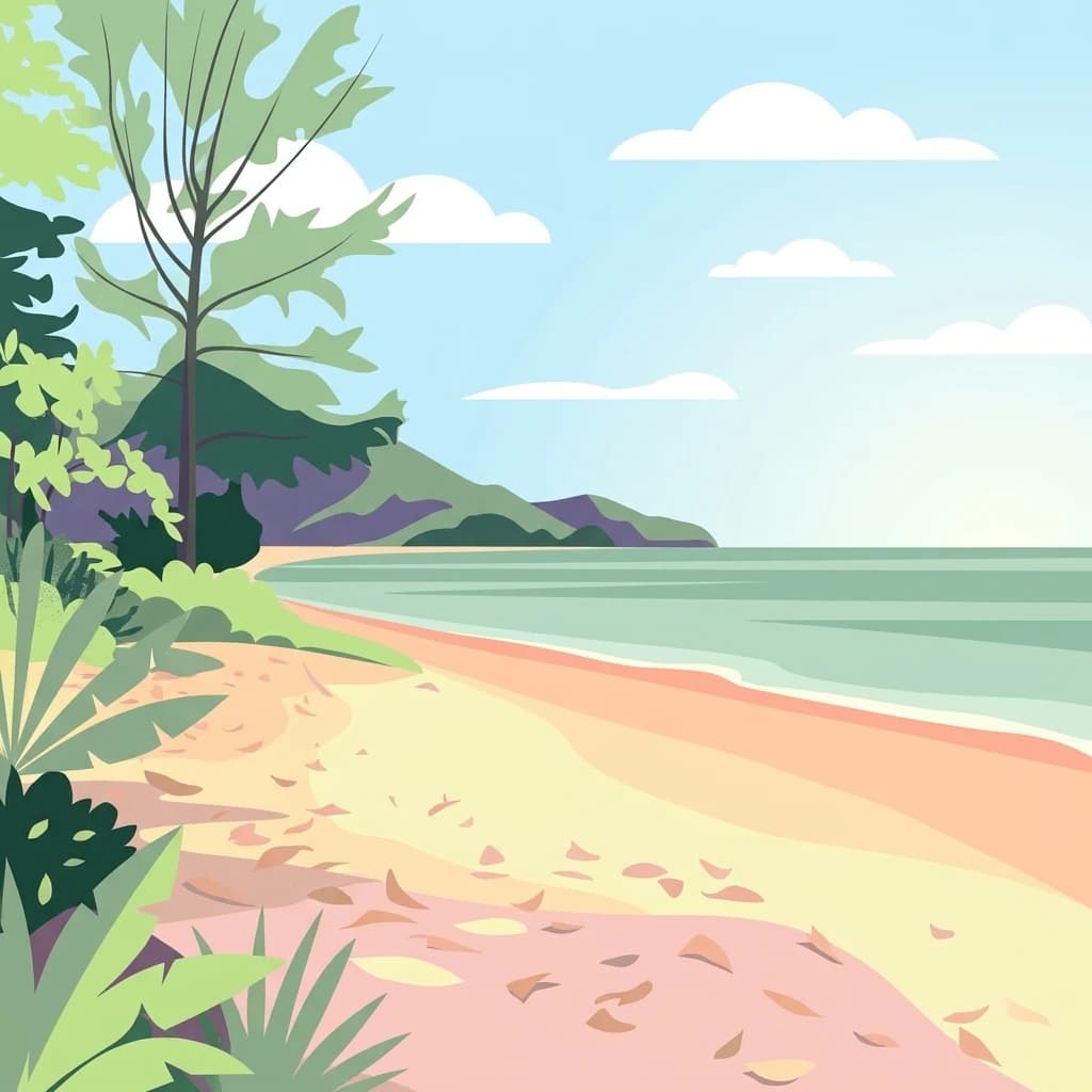
A flat-style digital illustration of a sandy beach meeting calm, light green ocean water under a clear blue sky with stylized white clouds, framed by lush coastal vegetation on the left.
National parkPhuket Province
About 169 km away#16 closest

South

Sirinat National Park: Phuket Province Protected Coastal Landscape and Marine Atlas

Mapped boundaries, beach forests, and sea turtle nesting sites.

Sirinat National Park offers a unique opportunity to explore a protected coastal geography on Phuket Island. This national park preserves critical beach forest ecosystems, extensive shorelines like Hat Mai Khao, vital sea turtle nesting grounds, and surrounding marine environments including coral reefs and mangrove habitats. Its designation as a protected area provides essential context for understanding the natural landscape and its ecological significance within Thailand's regional geography.

Area
90 km²
Established
1981
IUCN
II
Visitors
51.2K annual
Stylized vector illustration of a tropical beach with lush hills, palm trees, and a sunset over the ocean.
National parkSurat Thani Province
About 177 km away#17 closest

East

Than Sadet, Ko Pha-ngan National Park: A Royal Heritage Protected Landscape in Surat Thani

Island geography, royal rivers, and mountain terrain exploration.

Delve into Than Sadet, Ko Pha-ngan National Park, a protected area in Surat Thani Province renowned for its fusion of natural beauty and historical significance. This park protects diverse ecosystems, including dense forests, the famous Than Sadet waterfall and river system, and mountainous interiors, culminating in views from Khao Ra. As a key protected landscape, its mapped boundaries reveal a vital natural sanctuary with deep royal connections, inviting exploration of its unique geographic context and heritage within the Thai atlas.

Area
43 km²
Established
2018
IUCN
II
Visitors
158.1K annual
A digital illustration of a cascading waterfall flowing over rock tiers in a dense, green tropical jungle.
National parkThailand
About 185 km away#18 closest

Southeast

Khao Luang National Park: A Protected National Park with Distinct Geographic Identity in Thailand

Explore its mapped boundaries and regional landscape context.

Khao Luang National Park represents a crucial component of Thailand's protected areas, offering specific geographic insights for atlas exploration. This detail page focuses on the park's intrinsic identity as a mapped natural landscape, providing the structured data needed to understand its unique place within the country's geography. Discover the contours and context of this protected national park as a key entity for serious geographic study.

A digital illustration of a tropical coastline with steep, vegetated limestone cliffs meeting the sea, surrounded by dense coastal foliage.
National parkKrabi Province
About 210 km away#19 closest

South

Hat Noppharat Thara, Mu Ko Phi Phi National Park: Protected Landscape and Geographic Identity

Explore mapped terrain and protected natural areas in Krabi Province.

Hat Noppharat Thara, Mu Ko Phi Phi National Park stands as a distinct protected natural landscape, offering a unique geographic perspective within Krabi Province. This page delves into its role as a national park, highlighting its mapped boundaries and contribution to the regional atlas. Users can explore the park's specific natural terrain and understand its significance as a conservation area, providing a foundation for broader geographic discovery.

Area
388 km²
Established
1983
IUCN
II
Visitors
1.1M annual
National parkPrachuap Khiri Khan Province
About 212 km away#20 closest

Northeast

Ao Siam National Park: Protected Landscape and Regional Geography within Thailand

Discover the mapped boundaries and natural terrain of this Thai national park.

Ao Siam National Park is a designated national park in Thailand, located within the Prachuap Khiri Khan Province. This protected landscape offers valuable insights into the regional geography of the Kra Isthmus. Users can explore its mapped boundaries and understand its significance as a natural area within the atlas of Thai protected lands. The park's setting provides a concrete example of protected territory contributing to the region's overall geographic context.

Area
31.94 km²
IUCN
II
Relief
Lowland
Climate
Subtropical
Distance methodology

Geographic measurements, not driving distances

How nearby park distances are calculated

Distances use park boundaries whenever the available geometry allows it. When one or both boundaries are missing, the mapped park locations provide a clearly labelled estimate. Every value represents straight-line geographic separation and does not use roads or routing.

Boundary distance

Calculated between the nearest points of both park boundaries.

Location-to-boundary estimate

Estimated from one mapped park location to the nearest boundary of the other park.

Mapped-location estimate

Estimated between the mapped locations of both parks.

MoriAtlas Explorer

Continue Exploring Laem Son National Park's Protected Geography and Map Context

Deepen your understanding of Laem Son National Park by delving into its specific protected area identity and its mapped landscape features. Examining its geographic setting within Ranong provides crucial context for appreciating its role as a national park. This focused exploration is designed to enhance your structured discovery of protected natural areas and their surrounding regional geography.

Global natural geography