
West
Kazbegi National Park
Explore its dramatic terrain and protected area boundaries.
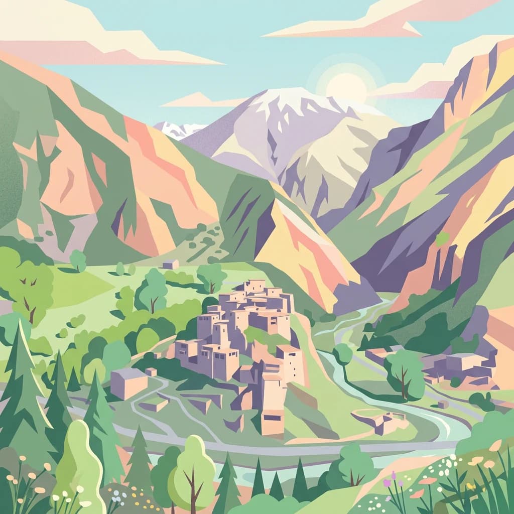
Kazbegi National Park, in Mtskheta-Mtianeti, Georgia. Landscapes: mountains, valleys, and forests.
- Area
- 1,446.17 km²
- Established
- 1976
- IUCN
- II
- Relief
- Mountain
Geographic analysis of nearby conservation sites within the Mtskheta-Mtianeti regional terrain.
Examine the geographic distribution of protected lands surrounding Pshav-Khevsureti National Park in northern Georgia. This overview provides mapped context for neighboring natural landscapes and conservation areas situated across the complex mountainous terrain of the Mtskheta-Mtianeti region and its borders.

Mountain wilderness in the heart of the Caucasus
Pshav-Khevsureti National Park is a protected area in the mountainous north of Georgia, established in 2014 within Dusheti Municipality of the Mtskheta-Mtianeti region. The park occupies a dramatic landscape of deep river valleys, rugged terrain, and alpine zones in the historic Khevsureti region, an area renowned for its traditional villages and cultural heritage. Spanning a substantial portion of northeastern Georgia, the park was created with direct involvement from the World Wide Fund for Nature and is managed by the Agency of Protected Areas under IUCN Category II designation. The protected area encompasses the watersheds of several rivers including the Asa, Aragvi, Andakistskali, and Pshavi Aragvi, creating a contiguous corridor of wilderness that supports remarkable biodiversity.
See the ranked park cluster in its geographic setting
Explore surrounding protected landscapes and regional park geography measured by geographic proximity.

West
Explore its dramatic terrain and protected area boundaries.
Kazbegi National Park, in Mtskheta-Mtianeti, Georgia. Landscapes: mountains, valleys, and forests.

Southeast
Mapped protected area boundaries and alpine terrain in Georgia.
Tusheti National Park offers a deep dive into the rugged geography of the Greater Caucasus. This national park, situated in a remote corner of Georgia, protects a dramatic landscape characterized by high mountain ridges, glacial valleys, and diverse ecosystems. The park's mapped boundaries encompass significant alpine terrain, providing essential habitat and serving as a critical area for understanding regional protected land distribution and landscape context. Explore the unique geographic identity of Tusheti National Park.

South
Explore Georgia's oldest national park and its mapped forest terrain.
Tbilisi National Park represents Georgia's oldest protected area, nestled in the Saguramo Range within Mtskheta Municipality. This page provides an atlas-focused view of its geographic features, including mountainous terrain and deciduous forest ecosystems. Users can explore the park's mapped boundaries and understand its significance as a crucial natural landscape close to Tbilisi, contributing to the region's protected areas network.

West
Explore dramatic terrain and ancient heritage.
Alaniya National Park, situated in the rugged Central Caucasus Mountains of North Ossetia-Alania, Russia, is a premier example of a protected landscape defined by its dramatic glacial formations and high alpine environments. The park's geography features extensive glaciated peaks, deep valleys, and unique biodiversity. It preserves critical habitats and showcases significant archaeological sites, providing a rich context for understanding the natural and cultural history of the region through a structured atlas perspective.

Southwest
Mountain terrain, protected forests, and regional geography.
Algeti National Park, located in Georgia's Kvemo Kartli region, serves as a critical protected area preserving the easternmost populations of Caucasian Spruce and Nordmann Fir. This national park features a dramatic mountainous landscape within the Trialeti Range, characterized by deeply incised valleys, flowing rivers, and extensive old-growth forest ecosystems. Users can explore the park's geographic context, mapped boundaries, and the ecological significance of its unique coniferous and mixed forests, contributing to a broader understanding of protected lands in the Caucasus.

Southeast
Ancient broadleaf woodlands within the Greater Caucasus mountain range.
Zagatala State Reserve protects a critical mountainous region in northern Azerbaijan, known for its extensive oak and beech forests, rugged karst formations, and dramatic river-carved topography. The area supports rare Caucasian fauna and offers an intact look at the natural landscape transitions from forested foothills to high mountain meadows.

Southwest
Explore its unique forests, wildlife, and mountain terrain.
Borjomi-Kharagauli National Park, in Georgia. Landscapes: mountains, forests, and valleys.

Southeast
Discover distinct semi-arid terrain and rare forest ecosystems.
Vashlovani National Park in Dedoplistsqaro Municipality represents a significant protected area preserving Georgia's rare lowland desert and semi-arid steppe ecosystems. This national park is characterized by its striking badland topography, known as the "Sharp Walls," wild pistachio forests, and riparian habitats along the Alazani River. Its unique geographic setting, far removed from Georgia's typical mountainous landscapes, makes Vashlovani a crucial site for understanding regional biodiversity and conservation within the Caucasus.

West
Explore regional park boundaries and natural terrain context.
Prielbrusye National Park is a significant protected area featured in the MoriAtlas geographic discovery platform. This page details its identity as a national park, emphasizing its mapped boundaries and its position within the broader landscape of Kabardino-Balkaria. Users can explore the park's unique geographic context, understand its protected status, and integrate its information into a larger atlas-based understanding of regional natural territories.

South
Explore ancient deciduous forests and medieval sites within this protected area.
Dilijan National Park, in Tavush Province, Armenia. Landscapes: mountains, forests, and valleys.

Southwest
Mapped boundaries of an important South Caucasus conservation area.
Lake Arpi National Park offers a unique window into high-altitude wetland ecosystems on the Shirak and Javakheti plateau, located at roughly 2000 meters above sea level. Established as a national park in 2009, it protects critical habitats, including the central Lake Arpi, and serves as a vital sanctuary for numerous bird species. This protected area is distinguished by its alpine meadows, significant bird populations, and its distinct geographic setting within Armenia's northwestern region, providing rich context for atlas-based exploration of protected lands.

Southwest
Explore the unique geography and mapped park boundaries of this Georgian protected area.
Delve into Javakheti National Park, a significant protected landscape located in Georgia's Samtskhe, Javakheti region. This page serves as an entry point for understanding the park's distinctive highland terrain, its remarkable chain of lakes and marshes, and its protected area status. Explore the geographic context of this national park, its role in wetland conservation, and its value for structured atlas-based discovery of natural landscapes.

South
Explore map context, park boundaries, and regional geography.
Sevan National Park is a vital protected area located in Armenia's Gegharkunik Province, primarily safeguarding the remarkable high-altitude Lake Sevan. Established to protect this significant freshwater ecosystem, the park encompasses diverse surrounding landscapes including wetlands, forests, and steppes. Users exploring this canonical park detail page can delve into its geographic setting within the Armenian highlands, understand its importance as a protected landscape, and access structured data relevant to its unique natural environment. This MoriAtlas entry offers a focused lens on the park's conservation status and its contribution to regional geography.

Northwest
Mapped mountain terrain and urban forest boundaries in Russia.
Trace the extensive boundaries of Kislovodsk National Park, located within the North Caucasus foothills of Russia. This overview details the park's unique structure, shifting from city-adjacent gardens to the rugged elevation of the Dzhinal Ridge, providing a clear geographic context for one of Europe's most distinctive urban protected landscapes.

West
Explore the peat bogs, coastal ecosystems, and bird migration routes.
Kolkheti National Park, in Georgia. Landscapes: wetlands, lakes, and rivers.

Southwest
Discover Artvin Province's unique landslide lake and alpine terrain.
Karagöl-Sahara National Park presents a compelling protected landscape in Artvin Province, Turkey, renowned for its dramatic landslide lake, Karagöl, and the expansive Sahara plateau. This national park provides a unique map of highland geography, featuring dense conifer forests that give way to alpine meadows at elevations around 1,800 meters. Examine the geological character, including active landslide zones and sedimentary formations, that shape this distinctive terrain and contribute to its protected ecological value within the Black Sea Region.

South
Explore Azerbaijan's most visited national park and its rich geographic context.
Göygöl National Park is a key protected area in Azerbaijan, renowned for the crystal-clear alpine Lake Göygöl and its surrounding dense forests within the Lesser Caucasus mountains. This national park showcases over 420 plant species, significant wildlife populations, and dramatic mountainous terrain, making it a prime destination for understanding regional landscape diversity and protected land value. Use MoriAtlas to explore its mapped boundaries and connect it to the broader geographic context of Azerbaijan.

West
Explore the mapped geographic boundaries of this unique Georgian national park.
Kintrishi National Park, located in Georgia's Adjara region, is a protected landscape renowned for its exceptionally intact Colchic deciduous forests within a steep river gorge. This area showcases dense woodland, dramatic terrain, and the unique Colchican willow species, offering rich geographic context. As a key protected area, Kintrishi National Park provides a valuable focus for atlas-based exploration of southwestern Georgia's natural heritage.
Geographic measurements, not driving distances
Calculated between the nearest points of both park boundaries.
Estimated from one mapped park location to the nearest boundary of the other park.
Estimated between the mapped locations of both parks.
Delve deeper into the geography of Pshav-Khevsureti National Park, understanding its role within the Mtskheta-Mtianeti region and the broader Caucasus atlas. Examining its mapped protected boundaries and the rugged terrain it encompasses provides critical context for appreciating its ecological and landscape significance. This focused exploration supports a structured understanding of Georgia's protected natural areas and their regional geographic distribution.