West
Golestan National Park
Explore its geographic context and landscape identity.
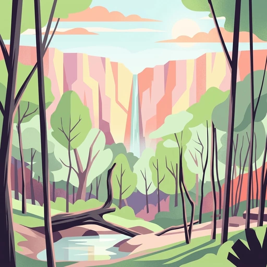
Golestan National Park, in Golestan Province, Iran. Landscapes: forests, grasslands, and hills.
- Area
- 918.95 km²
- IUCN
- II
- Relief
- Mountain
- Climate
- Temperate
Regional map analysis of neighboring protected landscapes and geographical boundaries
Examine the geographic distribution of protected lands and national parks situated in the surrounding region of Tandooreh National Park. This regional survey focuses on mapped boundaries and terrain context to illustrate how this mountain protected area aligns with other conserved environments across the northeastern landscape of Iran.

Juniper-covered mountain landscapes in northeastern Iran near the Turkmen border
Tandooreh National Park is a protected mountainous area located in northeastern Iran, near the city of Dargaz and the border with Turkmenistan. Established in 1982, the park covers approximately 355 square kilometers of rugged terrain characterized by deep valleys, steep cliffs, and elevation ranges from 980 to 2,600 meters. The park represents a significant ecological zone within Iran's protected area network, safeguarding juniper woodlands that blanket the mountain slopes and thicket vegetation along river corridors. Open areas within the park feature characteristic Artemisia steppe, creating a mosaic of forest and grassland habitats across this high-altitude landscape in the Kopet Dag mountain region.
See the ranked park cluster in its geographic setting
Distance-ranked protected landscapes and regional geography comparison

West
Explore its geographic context and landscape identity.
Golestan National Park, in Golestan Province, Iran. Landscapes: forests, grasslands, and hills.

Southwest
Explore Semnan Province's premier national park, mapped desert terrain, and vital wildlife refuge.
Khar Turan National Park is a significant protected landscape in Iran's Semnan Province, renowned for its expansive arid and semi-desert terrain. As the country's second-largest national park and a UNESCO Biosphere Reserve, it plays a critical role in conserving biodiversity, notably as a last bastion for the critically endangered Asiatic cheetah and Persian onager. Its diverse geography, from mountains to salt pans, offers a compelling atlas of life adapted to harsh desert conditions.

Southwest
Explore its arid terrain, conservation significance, and mapped boundaries.
Kavir National Park, in Iran. Landscapes: deserts and steppes.

West
Alpine terrain and regional context within Mazandaran Province.
Lar National Park stands as a critical national park, encompassing approximately 30,000 hectares of alpine and sub-alpine wilderness in Mazandaran Province, Iran. Its protected landscape is characterized by steep mountain valleys and ridgelines, situated at the southern base of Mount Damavand. This atlas-focused view reveals the park's mapped boundaries and its significant geographic position within the Central Alborz mountain range, crucial for understanding Iran's protected natural areas.

West
Explore its mapped terrain and regional protected area context.
Sorkheh Hesar National Park stands as a significant protected forest area within Tehran Province, Iran. Spanning 9,380 hectares, this mountainous national park is characterized by its unique semi-arid climate and crucial role in conserving threatened species, including the Persian fallow deer and Persian leopard. The Jajrood River flows through its landscape, enhancing biodiversity and supporting a rich forest ecosystem. Its proximity to Tehran makes it a notable example of urban-adjacent conservation, offering valuable insights into protected land management and regional geography.

Northwest
Explore mapped geography and semi-desert terrain near Baku.
Absheron National Park, located near Baku on the Absheron Peninsula, is a significant national park safeguarding coastal Caspian Sea environments. Its protected landscapes feature semi-arid terrain and are vital for the conservation of Caspian seals and migratory waterbirds. MoriAtlas provides a structured overview of this unique protected area, focusing on its geographic features, ecological importance, and its role as a key national park within Azerbaijan's atlas of natural reserves.

East
Explore the unique terrain and mapped protected boundaries.
Band-e Amir National Park, in Afghanistan.
Southeast
Rugged terrain and ibex habitat within Bamyan Province geography.
Ajar Valley Nature Reserve is a cornerstone protected area in Bamyan Province, Afghanistan, recognized for its rugged alpine terrain and role as ibex habitat. Established as one of the nation's oldest nature reserves, it offers a profound insight into the geographic context of the Hindu Kush. This page details the reserve's landscape characteristics, protected boundaries, and its vital place in the country's conservation atlas, providing a factual basis for understanding its ecological significance.

Northwest
Semi-desert topography and protected archaeological heritage in the South Caucasus region.
Gobustan State Reserve, in Azerbaijan. Landscapes: cliffs, caves, and volcanoes.
West
Regional geography and wetland terrain in Lankaran District
Spanning the shallow inlets of the southwestern Caspian Sea, Ghizil-Agaj State Reserve represents a critical protected wetland area. Its geography is defined by a transition between open water, marshy coastal strips, and salt-affected semi-desert zones. By analyzing the reserve's boundaries and hydrological features, one gains a clearer understanding of how this significant natural landscape functions within the broader environmental context of the South Caucasus.
West
A detailed look at the Kura-Araxes saline-steppe and wetland geography
Shirvan State Reserve is a strictly protected nature reserve in southeastern Azerbaijan that encompasses a vast saline-steppe and wetland mosaic. The terrain features wind-shaped sand mounds, expansive reedbeds, and the shallow Lake Chala, all of which define the unique Caspian lowland environment. This area provides an essential refuge for migratory waterbirds and serves as a primary site for gazelle conservation efforts in the Kura-Araxes basin.

East
Explore its mapped boundaries and natural geography.
Zaamin National Park represents a crucial component of protected natural landscapes within Uzbekistan, situated in the Jizzakh Region. This national park detail page provides essential geographic context, focusing on the park's mapped boundaries and its role as a protected area. Users can delve into the regional geography and landscape features that contribute to Zaamin National Park's unique identity, offering a factual basis for atlas-style exploration and understanding of conservation lands.

West
Discover the mapped landscape, gazelle habitats, and wetland geography.
Shirvan National Park, located in Azerbaijan's Shirvan Lowland, safeguards a remarkable semi-desert environment situated on a former Caspian Sea floor. This protected area is distinguished by its low-lying terrain, ancient coastal ridges, and dune formations, providing essential habitat for the world's largest concentration of goitered gazelles. Wetlands around Çala Lake also support significant migratory bird populations, making Shirvan a crucial protected landscape for both terrestrial and avian wildlife and a key site for regional geographic study.

West
Explore mapped boundaries and unique regional geography.
Hirkan National Park, in Lankaran District, Azerbaijan. Landscapes: mountains, forests, and valleys.

Northwest
Explore the mapped boundaries and temperate deciduous forests.
Altyaghach National Park is a key protected area in Azerbaijan, safeguarding a significant portion of the Greater Caucasus's temperate deciduous broadleaved forest ecosystems. Covering over 11,000 hectares, the park is instrumental in preserving biodiversity and restoring natural habitats, notably providing refuge for the rare East Caucasian tur and other protected species. Its landscape, characterized by rolling to steep terrain and diverse forest cover reaching approximately 941 meters in elevation, makes it a representative example of Caucasus mountain conservation within the country.

South
Explore its mapped boundaries and geographic significance.
Khabr National Park represents a vital protected area within Iran's Kerman Province, specifically recognized for its rugged mountainous terrain. Situated in a region known for its topographic complexity, the park serves as a conservation focus for the montane ecosystems characteristic of southeastern Iran. Understanding Khabr National Park offers insight into the mapped landscapes and regional geography of the Zagros foothills, highlighting its importance as a protected natural asset.

East
Explore mapped boundaries and regional geographic context.
Sarkent State Nature Park is a key state or regional park situated within the dramatic mountain geography of Kyrgyzstan. Its designation protects a significant natural landscape, offering users a valuable point of reference for understanding regional protected areas and the intricate terrain of Central Asia. This detail entry provides context for its mapped boundaries and its place within the broader atlas of protected lands.

Northwest
Explore the Greater Caucasus protected area and its unique ecosystems.
Shahdag National Park is the largest protected area in Azerbaijan, encompassing a significant portion of the Greater Caucasus mountain range. This national park is renowned for its dramatic elevation changes, creating diverse ecosystems that transition from dense, old-growth montane forests to high-alpine meadows and rugged, rocky summits. The park's landscape is defined by its towering peaks, including Mount Bazardüzü, the nation's highest point, and provides critical habitat for endemic species like the East Caucasian tur. Use this page to begin your atlas-based exploration of Shahdag National Park's protected geography and its distinctive natural terrain.
Northwest
Mapped protected landscape in Azerbaijan's Khachmaz Rayon.
Delve into the protected geography of Samur-Yalama National Park, a key national park established in 2012 within Azerbaijan's Khachmaz Rayon. This 11,772-hectare area meticulously preserves vital Caspian coastal forest ecosystems, characterized by dominant chestnut oak and Persian ironwood stands. The park’s diverse terrain ranges from littoral zones to inland steppe, offering significant insights into regional landscape context and protected area management for atlas exploration and geographic analysis.
East
Discover the geography and protected landscape of Hashmat Khan Park.
Hashmat Khan Park is a vital protected area situated within Pakistan's urban geography, renowned for its role as a waterfowl sanctuary and wetland habitat. This page provides an in-depth look at the park's mapped boundaries and its unique landscape character, offering users structured geographic discovery. Explore how this protected wetland exists alongside historic landmarks and urban development, showcasing a distinctive natural setting within a major city. Gain insights into its ecological importance and its place within the broader atlas of protected lands in Pakistan and Central Asia.
Geographic measurements, not driving distances
Calculated between the nearest points of both park boundaries.
Estimated from one mapped park location to the nearest boundary of the other park.
Estimated between the mapped locations of both parks.
Dive deeper into the atlas representation of Tandooreh National Park. Understanding its specific geography, mapped boundaries, and position within Iran's natural landscape context provides a foundation for broader protected-area discovery. Continue your exploration to uncover the detailed geographic attributes that make this national park a significant feature in the regional atlas.