
Protected areaRomania
Danube Delta
Explore the mapped protected area, its unique terrain, and regional landscape context.
Danube Delta, in Romania. Landscapes: wetlands, rivers, and lakes.
4,152 km²1998TemperateModerate access

Discover the distinct character of areas shaped by long-term human-nature interaction across Romania's geography.
This route details Romania's Protected Landscape/Seascape designations, focusing on IUCN Category V where the interaction of people and nature has created significant ecological, cultural, and scenic value. Explore the unique geographic context and browse the nation's protected areas and parks that embody this dynamic relationship, offering a curated atlas view of lived-in conservation landscapes.

Explore Romania's diverse protected landscapes, mapping areas where human interaction has shaped significant ecological and cultural value.
Explore the mapped protected area, its unique terrain, and regional landscape context.
Danube Delta, in Romania. Landscapes: wetlands, rivers, and lakes.

Explore its mapped boundaries and natural terrain.
Bucegi Natural Park, in Romania. Landscapes: mountains, valleys, and cliffs.

Romania's protected area mapped in its regional geography.
Apuseni Natural Park stands as a protected landscape offering significant value for geographic discovery. This entry provides a detailed look at its protected-area status and mapped landscape context within Romania. Users can explore its boundaries, understand its relation to surrounding terrain, and utilize this information for a structured atlas-based approach to natural landscape research.

Detailed atlas view of a protected landscape in Romania.
Uncover the geographic dimensions of Iron Gates Natural Park, a protected landscape situated in Romania. This detailed entry offers an atlas-centric exploration of its mapped boundaries and regional setting, facilitating a deeper understanding of its protected status and landscape features within the national geography. Discover the park's intrinsic value through structured geographic data and visual map context.

Explore the mapped boundaries and dramatic terrain of Romania's largest nature park.
Delve into the Maramureș Mountains Natural Park, a protected landscape covering extensive tracts of the northern Carpathian Mountains. This page provides detailed geographic context, showcasing the park's mapped boundaries, diverse alpine terrain, and its role within the broader regional geography of Maramureș County. Understand the natural features and protected area significance of this expansive Carpathian wilderness for structured atlas exploration.

Explore the protected landscape and regional atlas context.
Discover the Hațeg Country Dinosaur Geopark, a distinct protected area situated within the rich geography of Romania. This entry provides detailed information on its mapped boundaries and landscape characteristics, serving as a crucial anchor for understanding its place in the Southeast European region. Explore the structured geographic data and atlas context that define this significant protected landscape.

Giurgiu County, Romania: Mapped protected area context.
Navigate the geographic features and protected landscape boundaries of Comana Natural Park, situated within Giurgiu County. This dedicated atlas entry provides a clear view of the park's mapped territory and its significance as a protected area, offering essential context for understanding its regional setting and natural terrain within Romania.
Explore protected area geography and mapped boundaries.
Gain a structured understanding of Grădiștea Muncelului-Cioclovina Natural Park, a significant protected landscape located in Romania's Hunedoara County. This resource details its geographic position and mapped protected area extent, providing essential context for atlas exploration and regional landscape analysis. It serves as a focused entry point for understanding the park's unique geographic identity within its natural setting.
Discover mapped boundaries and critical waterfowl habitats.
Balta Mică a Brăilei Natural Park is a vital protected landscape located in Brăila County, Romania, recognized for its extensive wetland ecosystems and importance for migratory bird populations. Situated within the Lower Danube floodplain, this park serves as a critical habitat and staging area for waterfowl traveling along major flyways. Its designation as a protected landscape highlights its significance for conservation and offers users a rich opportunity for geographic discovery, focusing on its unique riparian and steppe landscape interface, mapped terrain, and ecological value within the regional context.
Mapped protected area and regional landscape context.
Vânători-Neamț Natural Park is a designated protected landscape located in Romania's Neamț County. This MoriAtlas entry provides detailed geographic information, focusing on the park's mapped boundaries and its role within the regional atlas of protected natural areas. Understand the park's specific landscape context and its place within the wider geography of Western Moldavia, essential for any structured exploration of Romanian protected lands.
Explore mapped terrain, natural park boundaries, and regional geography.
Putna-Vrancea Natural Park, designated as a protected landscape, offers detailed geographic insights into the Vrancea Mountains in Romania. Users can explore the park's mapped terrain, understand its protected boundaries, and contextualize its natural park status within Vrancea County and the broader Eastern Carpathians region. This atlas-focused view highlights the unique landscape features and regional geographic significance of this Romanian protected area.
Explore mapped boundaries and regional landscape context.
Mureş Floodplain Natural Park is a designated protected area in Romania, significant for its geographic particularities and landscape features. This page provides an atlas-level exploration of the park, detailing its mapped boundaries and how it fits within the country's regional geography. Understand the essence of this protected landscape through structured data and geographic context, facilitating deeper exploration of Romania's natural reserves.
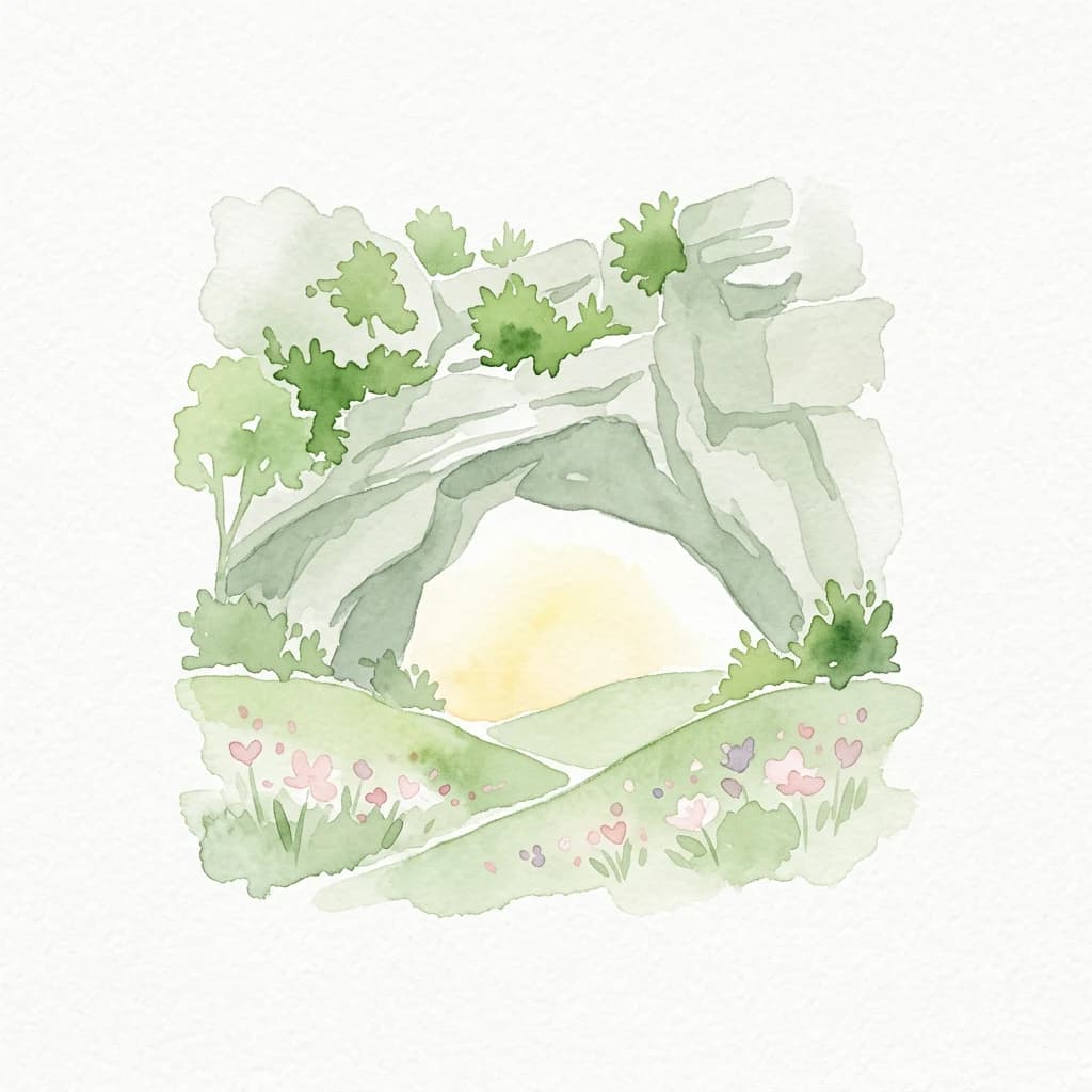
Explore Romania's unique limestone formations and karst landscapes.
The Mehedinți Plateau Geopark in Mehedinți County, Romania, is a significant protected landscape celebrated for its extensive karst features. This page offers detailed insights into the park's mapped boundaries, including its famous natural bridges like Podul lui Dumnezeu, vast limestone pavements, and cave systems. Understand its position within the broader regional geography of southwestern Romania, providing a solid foundation for atlas-driven exploration of this geologically rich area.
Explore Mureș County's premier protected landscape.
Access detailed mapping and geographic context for Defileul Mureșului Superior Natural Park. As a protected landscape situated in Romania's Mureș County, this entity offers crucial insights into regional natural terrain and protected area distribution. Explore its mapped boundaries and understand its significance within the broader atlas of protected lands.
Mapped wetland habitats and European bird migration routes.
Cefa Natural Park, designated as a protected landscape in Bihor County, Romania, offers significant insight into European wetland ecosystems and migratory bird patterns. Spanning 5,002 hectares, it features critical habitats such as marshes, floodplains, and the Rădvani Forest, positioned directly on the Pannonian, Bulgarian migration corridor. This park is a landmark for understanding regional geography and conservation efforts focused on migratory waterfowl and specialized halophytic vegetation. MoriAtlas provides the structured geographic data and mapped context necessary for detailed atlas-based discovery of this important protected area.
Explore the mapped natural terrain and regional context.
Dumbrava Sibiului Natural Park is a designated protected landscape offering a unique lens into Romania's natural geography. This entry provides detailed atlas-level information on the park's protected boundaries and its setting within Sibiu County, part of the historic Transylvania region. Understand the park's landscape character and its role in the regional geography through structured map data.

Explore its wetland terrain and mapped protected area boundaries.
Lunca Joasă a Prutului Inferior Natural Park is a crucial protected landscape within Galați County, Romania, recognized for its extensive wetland ecosystems and role as a vital bird migration hub. This atlas-focused entry details the park's mapped geography, showcasing its complex network of lakes, canals, and floodplains, and its significant habitats that support exceptional biodiversity along major European flyways.
Mapped natural landscapes and protected area context.
Delve into the protected landscape of Cindrel Natural Park, situated in Sibiu County, Romania. This page offers a detailed geographic perspective, highlighting the park's mapped boundaries and its role within the broader natural terrain of the Southern Carpathians. Understand the structured atlas data that defines Cindrel Natural Park and its regional significance for protected land discovery.
Explore how human-nature interaction shapes Romania's Category V protected landscapes
Matching parks
18
These parks and protected areas currently define how Protected Landscape/Seascape appears across Romania.
Category focus
A protected area where the long-term interaction of people and nature has created a distinct landscape or seascape with significant ecological, cultural, and scenic value.
Representative parks
People and nature
Definition
A Protected Landscape/Seascape is a protected area where the interaction of people and nature over time has produced an area of distinct character with significant ecological, biological, cultural, and scenic value, and where safeguarding the integrity of this interaction is vital to protecting and sustaining the area and its associated nature conservation and other values. The category is not defined by the absence of human presence, but by the quality and significance of a long-evolved relationship between communities, land or sea use, and nature.
Key characteristics
Category V areas are often recognizable as coherent lived-in landscapes or seascapes with strong identity and visible continuity between ecological systems and human practice. They may include traditional agricultural mosaics, terraced valleys, pastoral uplands, island seascapes, cultural coastlines, forest-agriculture patterns, or mixed landscapes where settlement, heritage, biodiversity, and scenic values reinforce one another. The conservation interest often lies not only in habitats or species, but also in the texture of the whole place: its land-use patterns, cultural memory, local management traditions, landscape form, ecological connectivity, and visual character. These areas are frequently more socially inhabited and economically active than stricter categories, but their management seeks to keep use compatible with long-term landscape quality and biodiversity.
Management focus
Management in Category V is usually integrative, collaborative, and place-based. Rather than separating conservation from human life, it aims to guide land and sea use so that ecological, scenic, and cultural values remain mutually supportive. This may involve planning controls, support for traditional management practices, restoration of degraded features, visitor management, heritage protection, sustainable local economies, and governance arrangements that work across public authorities, private owners, communities, and civil society. Because these places are often dynamic rather than static, management is less about freezing a landscape in time and more about steering change in ways that maintain its defining character, ecological function, and social meaning.
Protection purpose
The purpose of Category V is to conserve landscapes and seascapes where nature and people have shaped one another over time in ways that produce high ecological, cultural, and scenic value, and to keep that relationship viable into the future through careful stewardship.
Management objective
Typical objectives include maintaining the characteristic quality and identity of a landscape or seascape, sustaining biodiversity associated with traditional land or sea uses, supporting communities and stewardship practices compatible with conservation, protecting scenic and cultural heritage values, guiding development away from forms that would degrade landscape integrity, encouraging sustainable tourism and local economies, and strengthening long-term resilience of the whole area as a living conservation landscape.
Category history
Category V grew out of a broadening conservation understanding that not all valuable protected places are 'untouched' nature. In many parts of the world, especially in Europe and other long-settled regions, biodiversity and scenic identity are closely tied to long histories of farming, grazing, fishing, woodland use, settlement, and cultural adaptation. Conservation policy gradually moved toward recognizing that these lived-in landscapes could be worthy of protected status in their own right. The IUCN category system formalized this through Category V, giving international legitimacy to protected areas where the continuity of human-nature interaction is central rather than incidental. The category has become especially important for regional identity, connectivity, buffer functions, and conservation at the scale of working landscapes.
Global examples
Examples commonly linked with Category V include traditional mountain valleys, terraced agricultural regions, coastal cultural landscapes, island seascapes, mixed pastoral-woodland systems, and nationally designated protected landscapes where both biodiversity and long-shaped cultural scenery are central. In Europe in particular, many regional parks, protected landscapes, and protected seascapes align with Category V when their management focuses on maintaining a valued human-shaped landscape with strong ecological and cultural significance.
Understand the diverse range of Romania's protected area categories and their geographic distribution.
IUCN category ii
A large natural or near-natural protected area managed to safeguard ecological processes, characteristic species, and ecosystems while also supporting education, recreation, and compatible visitor use.
Example parks
Retezat National Park, Piatra Craiului National Park, Călimani National Park, Cheile Bicazului-Hășmaș National Park, Nera Gorge-Beușnița National Park, Domogled-Valea Cernei National Park, Semenic-Cheile Carașului National Park, Rodna Mountains National Park, Măcin Mountains, Buila-Vânturarița National Park
Explore common questions regarding Romania's diverse protected landscapes, including park distribution and geographic context across its regions.
Open the park list for Romania to explore locations and park characteristics.