Mori Atlas logo
Country parks

Explore the mapped distribution of Sweden's protected landscapes and natural terrains.

Sweden National Parks and Protected Areas: A Geographic Browse for Discovery

Begin your geographic exploration of Sweden by browsing its extensive collection of national parks and protected areas. This atlas-focused view provides essential context for understanding the distribution of natural landscapes across the Scandinavian Peninsula. Investigate Sweden's protected lands to gain insights into their geographic placement and the broader conservation context of this Nordic country.

Related tags

nordic countryconstitutional monarchyscandinavian peninsulaeuropean union membernato member

Discover Sweden's diverse conservation landscapes, mapping its network of national parks and nature reserves across the Scandinavian Peninsula.

Explore National Parks and Protected Areas in Sweden: A Complete Country-Wide Listing

Browse Sweden's full complement of national parks, nature reserves, and other significant protected areas, spanning from its northern forests to its southern coastal regions. This comprehensive overview provides geographic context for each protected landscape, enabling detailed atlas-style exploration and comparison across the entire Nordic country.

Showing 1 to 20 of 29 parks

Watercolor painting of a mountain landscape with a lake and trees
National parkNorrbotten CountyMountain

Abisko National Park

Subarctic national park with unique landscapes

Abisko National Park in Swedish Lapland offers a glimpse into dramatic subarctic terrain. Explore its protected boundaries, river canyons, and alpine tundra through structured geographic data.

77 km²1909SubpolarModerate access
Watercolor illustration of green mountains with a winding path against a light background
National parkNorrbotten CountyMountain

Sarek National Park

Explore the mapped geography of Norrbotten County's largest alpine national park.

Sarek National Park represents the heart of Sweden's alpine wilderness, a protected landscape defined by its towering mountain peaks, expansive glaciers, and deeply carved glacial valleys. Situated in Norrbotten County, the park's geography is characterized by a remote and rugged terrain, making it a prime destination for understanding high-altitude natural environments through mapped context. Discover the unique contours of this iconic national park and its place within the broader regional geography of Swedish Lapland.

1,970 km²1909BorealRemote access
Watercolor illustration showing mountains in the background, a lake or body of water in the middle, and landmasses within the water
National parkNorrbotten County

Padjelanta National Park

Explore subarctic terrain, large lakes, and Laponia World Heritage Site geography.

Padjelanta National Park, situated in Norrbotten County, is Sweden's largest national park. It features a distinctive subarctic plateau ecosystem centered around two vast lakes, offering a starkly open landscape compared to adjacent alpine areas. This protected area is renowned for its exceptional botanical and lichen diversity, a vital part of the Laponia World Heritage Site. Users can explore its mapped geography, unique terrain, and the cultural significance of this expansive arctic wilderness.

1,984 km²1963SubpolarModerate access
Watercolor illustration of mountains, a winding river, and trees
National parkNorrbotten CountyMountain

Stora Sjöfallet National Park

Explore mapped terrain and regional geography.

Stora Sjöfallet National Park stands as a significant protected landscape within Norrbotten County, Sweden, renowned for its striking Arctic mountain scenery centered on the Áhkká massif. As a key component of the Laponian Area UNESCO World Heritage Site, its vast expanse of over 1,278 square kilometers offers critical insights into subarctic ecosystems, glacial terrain, and the mapped boundaries of a protected natural territory. Discover the unique geographic features and ecological value of this expansive national park.

1,278 km²1909SubpolarRemote access
Watercolor illustration showing green mountains, trees, and a body of water with reflections
National parkMarineMountain

Skuleskogen National Park

Rugged terrain, post-glacial rebound, and unique geology.

Delve into Skuleskogen National Park, a protected national park situated in Sweden's High Coast region. This MoriAtlas entry details its dramatic landscape, defined by active post-glacial rebound, ancient bedrock, and striking fracture valleys like Slåttdalskrevan. Understand the park's geographic significance, its mapped boundaries, and the unique natural phenomena that make it a key site for atlas-driven exploration of protected landscapes.

30.62 km²1984SubpolarModerate access
Watercolor illustration of a mountainous landscape with a body of water
National parkVästra Götaland CountyMarine

Kosterhavet National Park

Discover its mapped underwater terrain and rich marine biodiversity.

Kosterhavet National Park, located in Västra Götaland County, is Sweden's first marine national park, dedicated to protecting the unique aquatic environment of the Koster Islands. This protected area is renowned for its exceptional marine biodiversity, including rare cold-water coral reefs and the country's largest seal colony, all situated within a dramatic underwater geography characterized by deep fjords. Use MoriAtlas to explore the mapped extent of this vital marine protected landscape and understand its significant place in regional and national conservation efforts.

388.78 km²2009IIWater-dominated
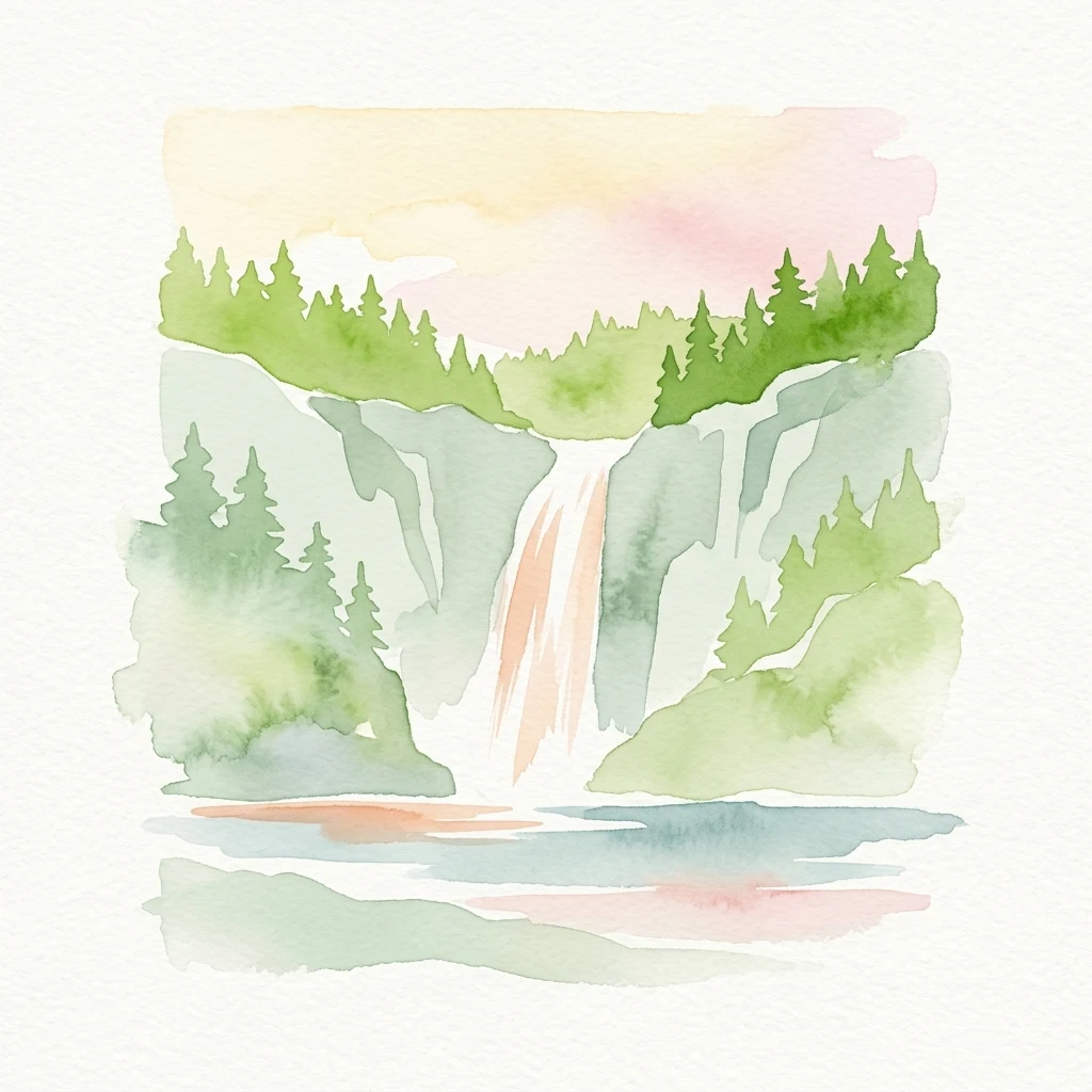
Watercolor painting depicting a waterfall surrounded by green trees and cliffs with a body of water in the foreground
National parkNorrbotten CountyMountain

Muddus National Park

Mapped boreal terrain with ancient pines and dramatic ravines.

Muddus National Park is a landmark protected area in Norrbotten County, celebrated for its immense scale and preserved old-growth forest character. This national park features a unique geography defined by ancient coniferous forests, including Sweden's oldest pine tree, alongside striking ravines and extensive mire systems. As part of the Laponian Area UNESCO World Heritage Site, Muddus offers an unparalleled opportunity for atlas-based discovery of an undisturbed boreal ecosystem accessible solely by foot, highlighting its profound natural and mapped landscape significance.

493.4 km²1942BorealII
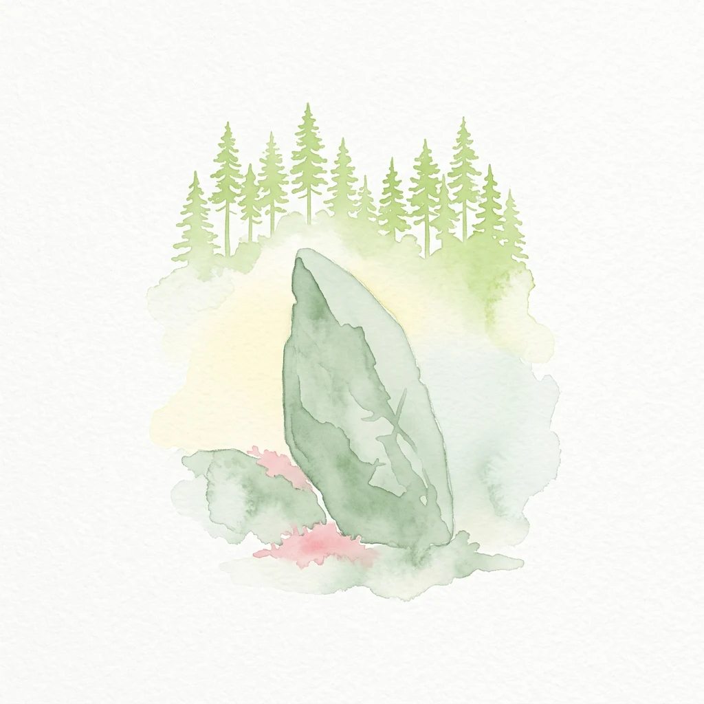
Watercolor illustration showing a large rock surrounded by pine trees and a forest landscape
National park

Tiveden National Park

Explore protected wilderness, fracture valleys, and geological heritage.

Tiveden National Park is a protected area in southern Sweden renowned for its ancient forests and rugged granite landscape. The park's terrain features deep fracture valleys, formed by ancient geological events, and stands as one of the last large remnants of older forest in the region. Discover the park's unique topography, mapped boundaries, and its significance as a protected natural landscape for atlas-based exploration.

20.3 km²1983IIMinor water
National park

Söderåsen National Park

Mapped protected area with varied terrain and dense forest cover.

Delve into the protected landscape of Söderåsen National Park, a national park in Southern Sweden distinguished by its unique ridge topography, steep slopes, and extensive forests. This site serves as a key point for atlas-based exploration of natural terrain and regional geography, offering a clear view of its mapped boundaries and ecological significance within the Southern Swedish highlands. Understand the character of this protected area and its place in the broader mapped landscape.

2001II
National parkStockholm County

Tyresta National Park

Stockholm County National Park, Sweden

Tyresta National Park stands as a crucial protected area, showcasing one of southern Sweden's largest expanses of old-growth coniferous forest, featuring trees up to 400 years old. Its distinctive rift valley terrain, lakes, and post-fire recovery zones offer a rich geographic profile for atlas exploration. Within Stockholm County, this national park provides essential context for understanding the preservation of ancient forest ecosystems and unique geological formations.

20 km²1993BorealEasy access
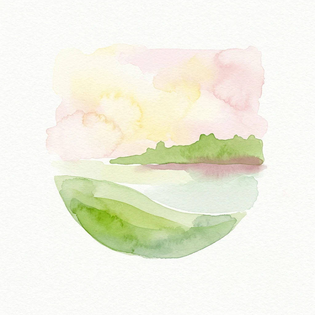
Watercolor illustration of a landscape with green hills and a pink sky over a body of water
National parkJönköping County

Store Mosse National Park

Detailed park map, geography, and peatland ecosystem context.

Delve into Store Mosse National Park, a significant protected landscape in Jönköping County, Sweden, celebrated for its vast peat bog, the largest south of Lapland. This page provides detailed geographic context, mapping its unique wetland terrain, interspersed lakes like Kävsjön, and surrounding pine forests. Understand the park's ecological importance as a Ramsar site and its place within the South Småland peneplain for structured natural area discovery.

78.5 km²1982Easy accessII
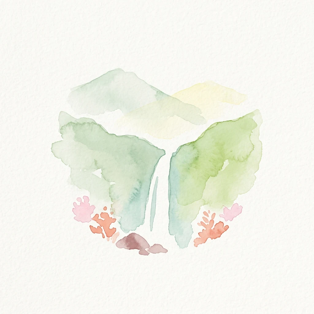
Watercolor illustration showing green mountains with a central waterfall and pink coral-like shapes at the base
National parkDalarna CountyMountain

Fulufjället National Park

Sweden's southernmost alpine plateau, mapped geography, and natural wonders.

Fulufjället National Park in Dalarna County, Sweden, protects a significant high plateau landscape, notable for its ancient sandstone geology and unique lichen-heath environments. This national park is home to Njupeskär, Sweden's tallest waterfall, and is part of a transboundary protected area with Norway. Explore the mapped terrain and distinct natural features of this important conservation area within the Scandinavian Mountains.

385 km²2002BorealRemote access

Watercolor painting showing a lake, forested hill, and distant mountains
National park

Gotska Sandön National Park

Mapped geography and ancient pine forests on a Swedish island.

Delve into Gotska Sandön National Park, a distinct national park encompassing an entire Baltic island renowned for its significant sand dune systems and ancient pine forests. This protected area showcases a rare sandy island ecosystem and a unique landscape shaped by coastal influences. MoriAtlas provides structured geographic context to understand the mapped boundaries and natural terrain of Gotska Sandön, highlighting its role as a vital protected natural landscape in the Scandinavian region.

1963IIMinor water
Watercolor illustration depicting a river flowing through green forests with rolling hills and a pastel-colored sky
National parkVästmanland County

Färnebofjärden National Park

Explore Västmanland County's unique riverine protected area and mapped terrain.

Färnebofjärden National Park offers a unique geographic perspective as a protected national park situated in Sweden's Västmanland County. This page details the park's distinct riverine landscape, characterized by the Dalälven River's intricate network of channels, wetlands, and islands, and its position at a critical ecological frontier. Discover the mapped boundaries and regional context of this important protected area, renowned for its exceptional bird populations and diverse natural habitats.

101 km²1998TemperateModerate access
Watercolor painting of a coastal landscape featuring green trees, a sunset over the sea, and pink grasses
National parkSkåne County

Stenshuvud National Park

Explore broadleaf forests, heathlands, and panoramic coastal geography.

Stenshuvud National Park is a notable national park in Sweden's Skåne County, characterized by a prominent hill that rises 97 meters above the Baltic Sea. This protected landscape offers a rich diversity of habitats within a small area, including dense broadleaf forests, open heathlands, and coastal terrains. Its unique geographic position and varied ecosystems make it a key destination for exploring protected natural areas, mapped terrain, and regional landscape context within the MoriAtlas platform.

3.9 km²1986TemperateModerate access
Watercolor illustration of a mountain with a winding path through green fields and pink flowers
National park

Blå Jungfrun National Park

Explore its mapped boundaries and distinct coastal terrain.

Blå Jungfrun National Park is a distinctive Swedish national park situated on a Baltic Sea island, immediately recognizable by its prominent blue-hued granite cliffs. As a protected landscape, it offers a unique glimpse into island ecosystems and rugged coastal geography. MoriAtlas provides detailed context for its mapped boundaries, showcasing the natural and geological significance of this solitary protected area within the regional atlas.

Moderate accessIIMajor water bodies
Watercolor illustration of a lake with rocks, trees, and a pale yellow sky
National parkNorrbotten County

Haparanda Archipelago National Park

Explore emergent islands, sand dunes, and unique coastal geography.

Haparanda Archipelago National Park in Norrbotten County is a distinctive protected landscape characterized by its recent geological emergence and unusual sand dune formations along the northern Baltic coast. This national park offers a unique perspective on coastal geography, with islands steadily rising from the sea. MoriAtlas users can explore its mapped boundaries, understand its dynamic terrain, and appreciate its role as a significant protected area within Sweden's unique archipelagic environments.

60 km²1995BorealModerate access
Watercolor illustration of a mountain with a forest in the foreground
National parkVästra Götaland CountyMountain

Tresticklan National Park

Explore the geographic context and mapped boundaries of this vital protected area.

Tresticklan National Park is a vital protected landscape in Västra Götaland County, Sweden, safeguarding one of southern Scandinavia's most significant old-growth forest ecosystems. The park's terrain is defined by exposed granite bedrock, sparse heath pine forests, and a wild, remote character. MoriAtlas provides a structured overview of Tresticklan National Park, detailing its geographic setting and protected area status for explorers and cartographers.

28.97 km²1996Access unknownII
Watercolor illustration showing trees, a river, and reflections in water
National parkGävleborg County

Hamra National Park

Discover pristine Swedish nature and mapped park boundaries.

Hamra National Park in Gävleborg County, Sweden, protects an extraordinary natural landscape. At its heart lies a distinct moraine hill adorned with some of central Sweden's oldest coniferous trees, some reaching 400 years. Surrounding this ancient forest is a vast, unbroken expanse of mire and wetland, a landscape preserved from drainage and modification. This park offers a profound insight into pristine ecosystems and geographic context, making it a key destination for atlas exploration of protected natural areas.

13.83 km²1909BorealModerate access
Watercolor illustration depicting a forested lake with trees and their reflections in the water
National parkKalmar County

Norra Kvill National Park

Discover its unique mapped terrain and natural forest heritage.

Norra Kvill National Park safeguards a remarkable old-growth coniferous forest ecosystem, a rarity in southern Sweden. This park is characterized by ancient pines, some dating back over 350 years, thriving on steep fault-formed terrain and amid boulder fields. Its protected status ensures the preservation of this unique natural landscape, providing invaluable insight into forest ecology and regional geography within Kalmar County. MoriAtlas offers a structured approach to understanding its mapped boundaries and ecological significance.

1.14 km²1927TemperateII
Other countries

Explore the geographic spread of national parks and protected landscapes across Nordic and European countries for broader atlas discovery.

Discover National Parks and Protected Areas in Other Countries Near Sweden

Continue your national park discovery beyond Sweden by browsing the full range of protected areas and conservation landscapes available in other countries across the MoriAtlas. This broader country-level view allows for comprehensive geographic comparison and deeper understanding of park systems and protected land patterns worldwide.

Germany National Parks and Protected Areas: Browse Geographic Distribution

Discover the breadth of Germany's national parks and protected natural areas through a structured geographic atlas. This section enables detailed browsing of mapped boundaries and understanding the regional landscape context for each protected land. It serves as a comprehensive entry point for anyone interested in the geography and distribution of conservation areas within the Federal Republic of Germany.

1,221 parks

Explore National Parks and Protected Areas Across Poland's Geography

Delve into the structured geography of Poland's protected natural areas. This atlas view highlights the distribution of national parks and other significant protected lands, offering insights into their regional context. Use this entry point to navigate and understand the geographic scope of conservation landscapes across Poland, from its diverse terrains to its mapped natural features.

392 parks

Denmark National Parks and Protected Landscapes: A Geographic Atlas Overview

This atlas entry for Denmark allows for the exploration of its national parks and protected areas, focusing on their geographic distribution and mapped boundaries. Understand the context of these protected lands within the broader landscape of Denmark, facilitating structured discovery of natural terrain and conservation areas through an intuitive, map-aware interface.

87 parks

Norway Protected Areas and National Parks Geographic Atlas Explorer

Discover the breadth of Norway's protected natural areas with MoriAtlas. This country-level atlas entry point allows you to explore the geographic distribution of national parks and conservation landscapes. Understand the spatial context of protected areas across Norway's diverse terrains, from the mainland Scandinavian Peninsula to its arctic territories, all within a structured, map-aware framework.

55 parks

Finland National Parks and Protected Areas: Explore Geographic Distribution

Access a structured geographic atlas for Finland, detailing its national parks and protected areas. This resource facilitates exploration of the country's diverse natural landscapes, emphasizing mapped boundaries and regional context. Understand how protected lands are distributed across Finland, providing a clear overview for geographic discovery and atlas-based navigation of its natural terrain.

42 parks

Explore National Parks and Protected Areas: Lithuania's Geographic Landscape Atlas

MoriAtlas offers a comprehensive view of Lithuania's protected natural areas, focusing on their geographic distribution and mapped boundaries. This resource serves as a crucial atlas entry point for understanding the country's protected landscapes, enabling users to navigate and discover the extent of national parks and reserves within their regional context.

18 parks

Discover National Parks and Protected Areas Across Estonia | Geographic Atlas Overview

Navigate Estonia's protected natural areas, from national parks to conservation zones, with a geography-first approach. MoriAtlas presents a structured atlas view, highlighting the mapped boundaries and regional context of these important landscapes. This resource is ideal for understanding the geographic spread and ecological significance of protected lands within Estonia.

7 parks

Latvia's National Parks and Protected Areas: A Geographic Atlas Overview

Navigate the protected natural areas of Latvia through a comprehensive geographic lens. This atlas-focused resource details the mapped boundaries and distribution of national parks and protected lands, providing essential context for understanding the country's conservation efforts and natural terrain. Discover Latvia's diverse protected landscapes and explore their regional placement within Northern Europe.

4 parks

Protected area types

Continue Exploring Sweden's National Park Designations and Geography

Deepen your understanding of Sweden's protected natural areas by further exploring its national park designations. This detailed classification view provides context for the country's conservation landscape and guides you into specific designation groups for more granular geographic and atlas insights. Understand how these protected territories are categorized to better appreciate Sweden's diverse natural heritage.

Sweden National Park Designations
MoriAtlas Explorer

Continue Your Sweden National Park Search and Refine Protected Area Discovery

To further your understanding of Sweden's natural geography and conservation efforts, continue exploring the nation's protected areas through advanced search filtering. Compare the mapped boundaries, environmental traits, and regional distribution of national parks and other protected lands. This focused approach ensures a comprehensive atlas-like discovery of Sweden's diverse natural landscapes.

Global natural geography