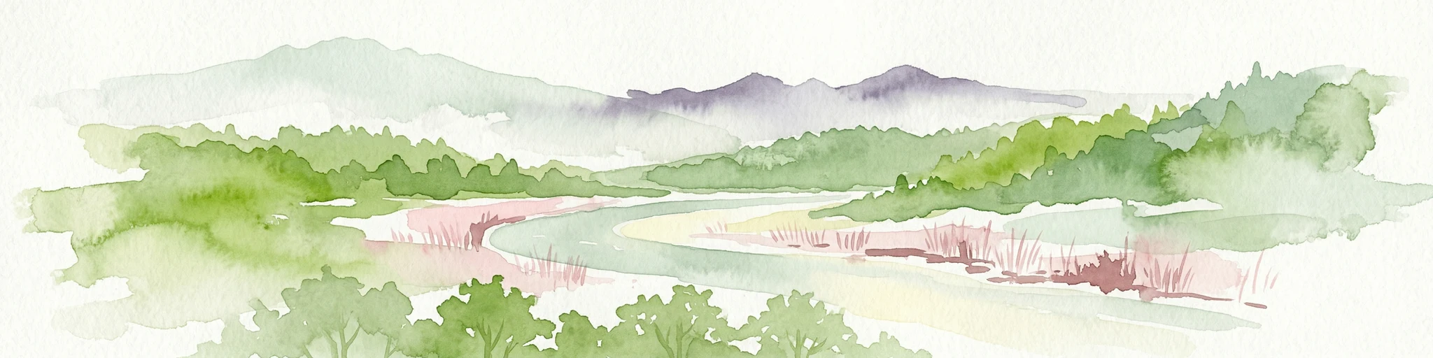
Wulingyuan Scenic and Historic Interest Area
- Area
- 264 km²
- Established
- 1982
- Relief
- Mountain
- Climate
- Subtropical
Browse and discover protected areas across Asia's diverse countries and natural regions.
MoriAtlas presents a structured geographic exploration of Asia, the world's largest continent. This atlas entry point allows you to discover the distribution of national parks and protected areas across its diverse countries and varied natural landscapes. Understand the continent's geographic context and navigate through its rich protected land tapestry, moving from a continent-wide overview into detailed country and park-level information.
Related tags
Comparing conservation scale, habitat diversity, and historical designations across borders.
Known protected area
Area data available for 1 of 1 park.
Median park size
Median across 1 park with known area.
Explore the vast geographic spread of Asian national parks and protected landscapes, tracing conservation across countries and diverse ecosystems.
Asia is the largest and most populous continent, spanning over 44 million km² across the eastern portion of Eurasia. It contains 49 UN member states and one UN observer state, with diverse cultures, religions, and climates ranging from equatorial to subarctic. The continent was the birthplace of most of the world's major religions including Buddhism, Christianity, Hinduism, Islam, and others. It shares the landmass of Eurasia with Europe, with the border between the two being a historical and cultural construct rather than a clear geographic division.
Asia is the world's largest continent both by land area and population, comprising approximately 30% of Earth's total land area and home to about 60% of the global population. The continent extends from the Arctic Ocean in the north to the Indian and Pacific Oceans in the south, covering diverse geographic regions including East Asia, South Asia, Southeast Asia, Central Asia, and West Asia. It contains some of the world's largest and most influential economies, including China and India, which have traded positions as the largest economies throughout history. Asia exhibits tremendous diversity across ethnic groups, cultures, environments, and government systems, with climates ranging from equatorial in the south to subarctic in the north.
Map Asia's extensive protected landscapes, charting conservation areas from the majestic Himalayas to lush tropical coastlines.
Understand how Asia is shaped by terrain, ecosystems, and seasonal conditions
Asia occupies the eastern portion of the Eurasian landmass, sharing this landmass with Europe to the west. The continent is bounded by the Pacific Ocean to the east, Indian Ocean to the south, and Arctic Ocean to the north. The border with Europe is considered a historical and cultural construct, commonly defined as running east of the Suez Canal, Turkish straits, Ural Mountains, Ural River, Caucasus Mountains, and the Caspian and Black Seas. The continent includes a wide variety of terrain including vast plains, high mountain ranges, deserts, and extensive river systems.
Asia contains some of the world's most significant natural landscapes and ecosystems, including the Himalayas, the world's highest mountain range, extensive deserts in Central and West Asia, tropical rainforests in Southeast Asia, and vast boreal forests in Siberia. Major river systems including the Yangtze, Yellow, Ganges, and Mekong support diverse ecosystems and human populations. However, as this is a continent-level entity with highly varied nature across regions, specific details would require regional or country-level data.
Asia encompasses extremely diverse climate zones due to its vast size, ranging from equatorial climates in the south, through hot deserts in West and Central Asia, temperate conditions in East Asia, to continental and subarctic conditions in North Asia. Time zones span from UTC+02:00 to UTC+12:00 across the continent.
Related topics and popular queries
Protected area types
Deepen your understanding of global protected landscapes by continuing to explore classification types and their geographic distribution. Moving from broad designation families to specific park pages offers a structured way to navigate the world's natural heritage and understand its mapped conservation areas.
Dive deeper into the world's protected landscapes and national parks through MoriAtlas's structured atlas interface. Discover how continents and countries are organized, and how individual park geography fits into the broader map. Our platform is built for understanding the distribution and context of protected areas worldwide, facilitating your journey through global natural geography.