Mori Atlas logo
Country parks

Discover the mapped distribution of protected landscapes across the Hellenic Republic.

Greece National Parks and Protected Areas: A Comprehensive Browseable Atlas

Greece offers a rich tapestry of protected natural areas, from mountainous wilderness to vital marine environments. This page serves as your dedicated browse surface for national parks and protected landscapes across the Hellenic Republic. Engage with mapped boundaries, explore regional geography, and understand the national scope of conservation efforts to plan your geographic discovery.

Greece National Parks and Protected Areas: A Comprehensive Browseable Atlas

Map the diverse geographic spread of Greece's national parks, nature reserves, and marine protected areas.

National Parks and Protected Areas of Greece: Your Comprehensive Atlas for Discovery

Browse a complete listing of national parks and protected areas across Greece, showcasing the country's rich mainland terrain, diverse islands, and vital marine environments. This extensive atlas view helps users understand the geographic distribution of Greece's conservation landscapes and explore specific protected zones, from the Pindus Mountains to the Aegean Sea.

Showing 1 to 20 of 31 parks

National parkEpirusMountain

Northern Pindus National Park

Mapped terrain, karst river gorges, and alpine forest ecosystems.

Northern Pindus National Park preserves an extensive mountain environment characterized by steep limestone ridges, the profound Vikos Gorge, and glacial lake basins. Located in the Pindus range of Epirus, this area offers deep insight into the intersection of geological processes, rare wildlife habitats, and traditional human settlements integrated into the mountainous terrain.

157.4 km²2005MediterraneanModerate access
National parkGreeceMountain

Vikos-Aoös National Park

Discover protected area boundaries and regional geography in Epirus.

Vikos-Aoös National Park in Greece's Pindus mountains is a premier destination for exploring dramatic natural geography. Best known for the Vikos Gorge, considered the world's deepest canyon relative to its width, the park also features towering alpine peaks like Mount Tymphe, glacial lakes such as Drakolimni, and rich botanical diversity. As a UNESCO Geopark and part of the Natura 2000 network, it safeguards critical habitats, including significant brown bear populations. This park offers a profound look into protected landscapes, offering detailed geographic context and mapped terrain for atlas-based discovery.

126 km²1973MediterraneanModerate access

National parkThessalyMountain

Olympus National Park

High mountain terrain, forest zones, and protected boundaries

Olympus National Park preserves the towering summit of Mount Olympus and its surrounding canyons. This record highlights the park's geologic structure, its diverse vegetation zones ranging from Bosnian pine to alpine grasslands, and its status as a cornerstone of the natural geography spanning the borders of Thessaly and Central Macedonia.

39.88 km²1938MediterraneanModerate access

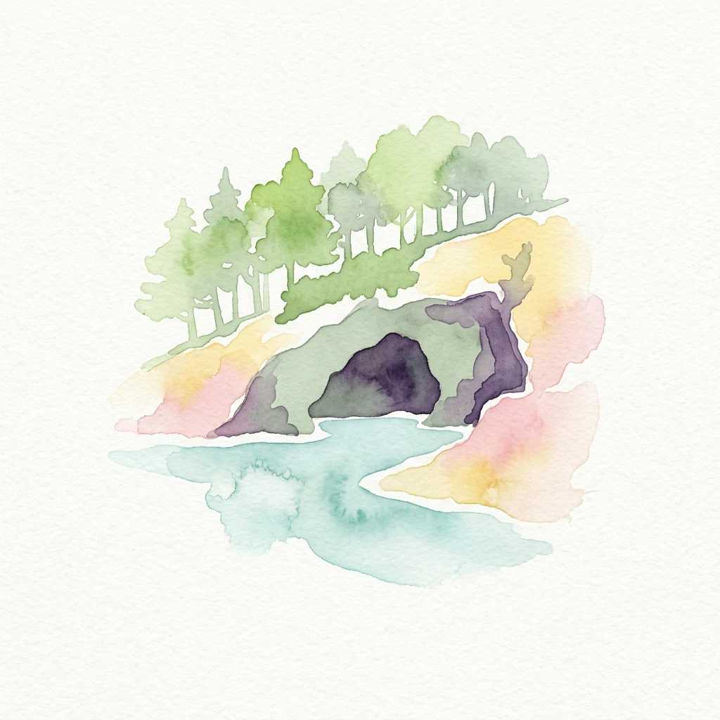
Watercolor illustration of a coastal sea cave with trees on a hillside and turquoise water
Marine protected areaGreeceMarine

National Marine Park of Alonnisos Northern Sporades

Explore Greece's largest marine protected area and its vital ecosystems.

Investigate the National Marine Park of Alonnisos Northern Sporades, an extensive marine protected area situated in the northern Aegean Sea. This protected landscape is internationally significant for its role in conserving the Mediterranean monk seal and for its healthy Posidonia oceanica seagrass meadows. Understanding this park's geographic scope and its protected marine terrain offers crucial insights into Mediterranean island ecosystems and conservation efforts within the region.

2,260 km²1992MediterraneanModerate access

Watercolor painting showing a winding pink path through a green forest with mountains in the background
National parkGreeceMountain

Pindus National Park

Explore its rugged terrain, biodiversity, and alpine landscape.

MoriAtlas presents Pindus National Park, a significant protected area in Greece known for its dramatic mountainous terrain, deep valleys, and ancient old-growth forests. This page details its geographic context, featuring rugged highland landscapes, serpentine soils, and vital habitats for species like the Eurasian brown bear. Understand its place within the Pindus mountain range and its importance as a mapped wilderness area for conservation.

69.27 km²1966TemperateModerate access
National parkGreeceMountain

Parc national du Mont Parnasse

A protected national park blending karst geology and mountain ecosystems.

Parc national du Mont Parnasse stands as a prominent protected landscape in Central Greece, defined by its fractured limestone geology and subalpine forests. This national park serves as a vital ecological refuge that preserves karst terrain, sinkholes, and diverse Mediterranean mountain habitats rising toward steep alpine summits.

MediterraneanMinor water
Natural monumentLesvosMarine

Lesvos Petrified Forest

Natural monument and ancient Miocene fossil forest zones in western Lesvos, Greece.

This protected natural monument preserves an early Miocene forest transformed into stone by volcanic activity. The landscape features fossilized coniferous trunks, including rare upright specimens, scattered throughout volcanic deposits and coastal andesite outcrops on the island of Lesvos. It serves as a vital reference for the geological history of the North Aegean region.

150 km²1985SubtropicalEasy access
Watercolor illustration of trees and mountains
National parkEastern Macedonia and ThraceMountain

Dadia-Lefkimi-Soufli Forest National Park

Mapped terrain and protected area context in Eastern Macedonia and Thrace.

This canonical entry for Dadia-Lefkimi-Soufli Forest National Park provides a structured atlas view of its protected landscape. Understand the park's geographic setting within Eastern Macedonia and Thrace, its mapped boundaries, and its significance as a critical sanctuary for raptors across Europe. Explore the diverse natural terrain that defines this protected area and its ecological importance.

428 km²2006MediterraneanModerate access

National parkGreeceMountain

Samaria National Park

Mapping the dramatic White Mountain canyon and coastal descent

Samaria National Park stands as a major protected landmark in Greece, defined by a tectonic gorge that bisects the White Mountains. This atlas entry covers the park boundary, the distinct vertical limestone cliffs of the Iron Gates, and the transition from mountain plateau to the Mediterranean coastline.

4.848 km²1962MediterraneanEasy access
Watercolor illustration of a green island with reflection in pink water under yellow sky
Marine protected areaGreeceMarine

National Marine Park of Zakynthos

Mapping Zakynthos's protected marine territory and regional geography

Investigate the National Marine Park of Zakynthos, a distinguished marine protected area situated in Greece. This dedicated page provides detailed insights into its protected landscape, focusing on its mapped geographic extent and its significance within the Mediterranean. Users can explore the specific boundaries of this protected marine territory and understand its place in the wider regional geography, enhancing atlas-based discovery of Greece's conservation areas.

IIWater-dominated
National parkGreece

Sounio National Park

A rugged maritime landscape on the Attica headland

Sounio National Park occupies the dramatic southernmost tip of the Attica peninsula in Greece. The protected area features vertical limestone cliffs, scrub-covered coastal hills, and a strategic headland overlooking the Aegean. This atlas entry provides a detailed look at the park boundaries, surrounding maritime geography, and the unique integration of classical heritage sites within an exposed Mediterranean conservation zone.

0.75 km²1974MediterraneanMinor water
Protected areaCentral Macedonia

Lake Kerkini

A significant reservoir within a mountain-framed basin

Lake Kerkini functions as a vital wetland habitat in the Central Macedonia region of Greece. Created as a reservoir along the Strymon River, it serves as a central waypoint for migratory species while providing a structured landscape of water, reed beds, and riverside forest. This atlas entry covers its geographic boundaries and its character as a working ecosystem shaped by both natural features and agricultural heritage.

75 km²1932MediterraneanEasy access
Protected areaLasithiMarine

Chrysi

A coastal island sanctuary in the Libyan Sea

Chrysi presents a distinct landscape characterized by a mature juniper forest and golden-sand beaches. Situated within the Lasithi regional unit, this island remains a primary example of a protected Mediterranean woodland environment, preserving a unique set of coastal terrain, shallow sea ecosystems, and archaeological history on a small geographic footprint.

4.743 km²MediterraneanEasy accessMajor water bodies
Nature reserveCreteMarine

Elafonisi

Coastal dunes and limestone formations in southwestern Crete.

Elafonisi is a protected nature reserve situated in the southwestern reaches of Crete. This site encompasses a complex landscape of sand dunes, juniper-covered scrub, and rugged limestone terrain. By providing a clear look at the area, this atlas entry helps users understand the geographic setting, the ecological significance of the island, and the natural boundaries of this noteworthy Mediterranean conservation area.

1.5 km²MediterraneanEasy accessMajor water bodies
National parkCrete

Vai Aesthetic Forest

Coastal palm woodland and regional Cretan geography

Investigate the landscape composition of Vai Aesthetic Forest, a protected national park in northeastern Crete. This site preserves a rare Mediterranean wetland ecosystem and a significant population of endemic date palms, offering deep insights into the region's geological and ecological heritage within the Sitia UNESCO Global Geopark framework.

0.2 km²1985MediterraneanEasy access
Watercolor illustration showing a winding path through a forested area with mountains in the background
National parkGreeceMountain

Rodopi Mountain Range National Park

Mapped boundaries, old-growth ecosystems, and Balkan geography.

Rodopi Mountain Range National Park is a critical protected forest area in Greece, safeguarding one of Europe's last primeval forests, the Frakto Virgin Forest. As the nation's largest woodland conservation site, it showcases remarkable biodiversity and complex mountain terrain, from low-lying forests to subalpine meadows. This page provides detailed mapping context and geographic specifics for understanding this unique protected landscape and its ecological significance within the Rhodope Mountains.

1,731.5 km²2009TemperateVI
Nature reserveCreteMarine

Agioi Theodoroi

A vital wildlife sanctuary and historical island terrain

The nature reserve of Agioi Theodoroi comprises two small, rocky islands off the northwestern shore of Crete. Known for a long-established population of the rare kri-kri wild goat and breeding colonies of Eleonora's falcons, these islets maintain strict conservation status. Explore the mapped boundaries of this unique protected area and its significance within the coastal geography of the Chania region.

0.697 km²1930MediterraneanHighly restricted
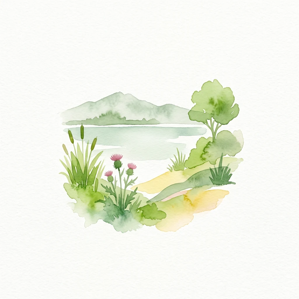
Watercolor illustration of a wetland landscape with tall grasses, pink thistles, a small tree, and distant mountains reflected in calm water.
National parkCentral Macedonia

Axios Delta National Park

Mapping the unique geography of this vital European bird migration corridor.

Axios Delta National Park is a significant protected wetland located in Central Macedonia, Greece, renowned for its role as a critical stopover and breeding ground for countless bird species along the East Atlantic Flyway. The park's landscape is shaped by the Axios, Haliacmon, Loudias, and Gallikos river deltas, creating a dynamic mosaic of lagoons, reedbeds, and coastal dunes. As a Ramsar site and Natura 2000 network area, it highlights the importance of understanding mapped protected landscapes and their regional geographic context for conservation efforts. Explore the distinct natural features and ecological significance of this unique delta.

338 km²2009MediterraneanVI
Protected areaLasithiMarine

Dionysades

Geography and protected island landscapes in Lasithi

The Dionysades archipelago comprises four rocky islets isolated in the shallow waters of the northeastern Cretan shelf. This protected area functions as a key seabird stronghold in the Aegean, characterized by its dramatic maritime silhouette, deep-water surroundings, and significant cultural history reaching back to classical antiquity.

5.25 km²MediterraneanRemote accessWater-dominated
Protected areaIonian IslandsMarine

Korission Lagoon

A coastal landscape defined by sand dunes, freshwater, and juniper forests

Korission Lagoon represents a rare ecological convergence on the Ionian Islands, where a tall sand dune barrier separates a freshwater lagoon from the open sea. This protected area supports an intricate mosaic of reed beds and unique juniper woodlands, providing a crucial habitat for a vast array of bird species and endemic wildlife within the coastal plains of Corfu.

4.27 km²MediterraneanEasy accessWater-dominated
Other countries

Explore the Atlas of Protected Areas in Southeast Europe, comparing Greece's landscapes with neighboring nations.

Discover National Parks in Countries Near Greece and Across the Wider Balkan Geography

Beyond Greece's national parks, browse protected areas across neighboring Balkan countries and the wider Mediterranean region to understand regional conservation landscapes. This country-level atlas view offers structured geographic context for diverse ecosystems, from coastal marine parks to mountain wilderness, providing comprehensive discovery.

Italy's National Parks and Protected Areas: A Geographic Atlas Overview

MoriAtlas offers a detailed geographic perspective on Italy's network of national parks and protected areas. Explore the mapped boundaries, understand the distribution of these vital conservation regions, and navigate through the country's diverse natural terrain. This atlas interface empowers discovery of Italy's significant protected lands, providing context for their place within the broader European geography.

58 parks

Romania National Parks and Protected Areas Atlas for Geographic Exploration

This atlas entry point provides structured access to Romania's national parks and protected areas. Explore the geographic distribution of mapped natural landscapes and understand the context of protected territories within the country. MoriAtlas enables detailed map-based navigation and discovery of Romania's diverse natural terrain and conservation zones.

31 parks

Albania National Parks and Protected Areas: A Geographic Atlas Exploration

Access a structured overview of Albania's national parks and protected areas. This resource facilitates exploration of the geographic distribution and mapped boundaries of its natural landscapes, offering an atlas-based perspective on the country's conservation efforts and regional terrain.

29 parks

Serbia National Parks and Protected Areas: Mapped Landscape Exploration

Discover the protected areas and national parks within Serbia through a structured geographic atlas interface. MoriAtlas details the mapped landscapes and regional natural terrain, allowing users to explore the full scope of conservation efforts across the country. Understand how protected lands are situated within the broader Serbian geography, facilitating a deeper, map-aware approach to natural landscape discovery.

16 parks

Croatia National Parks and Protected Areas: Geographic Atlas Explorer

MoriAtlas provides a geographic atlas for exploring Croatia's national parks and protected areas. Navigate the mapped boundaries and understand the distribution of protected lands throughout the country. This resource focuses on the structured discovery of natural landscapes and regional geography, offering a clear overview for understanding conservation areas within Croatia's diverse terrain.

16 parks

North Macedonia National Parks and Protected Areas: Geographic Atlas Overview

Navigate the protected natural areas of North Macedonia through a structured geographic lens. This atlas view highlights the distribution and mapped boundaries of the country's national parks and significant protected lands. Understand the landscape context and regional significance of these conserved territories, essential for any map-based exploration of North Macedonia's natural heritage.

4 parks

Bosnia and Herzegovina: National Parks and Protected Lands Map Overview

Delve into the protected natural areas of Bosnia and Herzegovina, a key Balkan country. This resource provides a structured view of national parks and other conservation landscapes, emphasizing their geographic distribution and regional context. Understand the mapped boundaries and terrain of these important natural territories, offering a comprehensive atlas-style exploration for geographic understanding.

4 parks

Bulgaria National Parks and Protected Areas: Mapped Geographic Context

Access a structured overview of Bulgaria's national parks and protected areas. This atlas-focused resource highlights geographic distributions and mapped boundaries, enabling comprehensive discovery of the country's diverse natural terrain and conservation landscapes.

3 parks

Protected area types

Continue Exploring Greece's Protected Area Designations and Park Geography

Delve deeper into the specific classification of protected areas across Greece. Understanding the distinctions between national parks, marine protected areas, and other categories provides crucial geographic context and supports detailed atlas exploration of the country's natural landscapes. Use this designation hub to navigate into the granular details of Greece's protected territories and their mapped distributions.

Greece Park Designations and Protected Areas
MoriAtlas Explorer

Continue Exploring Greece's Protected Area Geography and Natural Landscapes

Deepen your understanding of Greece's protected lands by utilizing advanced search and filtering capabilities. This dedicated route allows for granular comparison of national parks and conservation areas across the Hellenic Republic, enhancing your geographic context. Continue your atlas exploration to uncover the intricate details of each protected landscape and its regional significance.