Mori Atlas logo
Nearby park discovery

Regional landscape context and mapped distribution of surrounding protected geography

National Parks and Protected Areas Near Archipiélago de Juan Fernández National Park

Examine the geographic distribution of protected lands situated in the vicinity of Archipiélago de Juan Fernández National Park. This regional overview highlights mapped boundaries and natural terrain patterns, providing a spatial perspective on environmental conservation within this Pacific island context.

Stylized illustration of a mountainous valley featuring a waterfall, dense forest, and rocky cliffs

Remote Pacific archipelago protecting one of the world's most endemic-rich island ecosystems

Archipiélago de Juan Fernández National Park

Archipiélago de Juan Fernández National Park is a protected area encompassing three volcanic islands in the South Pacific Ocean, situated approximately 665 kilometers west of mainland Chile. The park covers the majority of Robinson Crusoe Island, the entirety of Alejandro Selkirk Island, and Santa Clara Island, along with numerous smaller islets within the Juan Fernández Archipelago. Established in 1935, this park protects one of Earth's most isolated and ecologically distinctive island environments, where extreme endemism has evolved due to millions of years of geographic isolation from the South American continent. The archipelago was designated a UNESCO Biosphere Reserve in 1977, recognizing its global significance for biodiversity conservation. The islands rise steeply from the ocean as volcanic peaks, creating dramatic mountainous terrain with elevations reaching over 900 meters, while the surrounding marine waters support rich coastal ecosystems including important seabird nesting colonies and marine mammal populations.

Location
Chile
Park type
National park
Established
1935
Area
96 km²
Archipiélago de Juan Fernández National Park Atlas
Regional park map

See the ranked park cluster in its geographic setting

Nearby parks around Archipiélago de Juan Fernández National Park

This regional map shows the same 20 nearby parks ranked below around Archipiélago de Juan Fernández National Park. Select a ranked marker to highlight that park’s boundary where boundary data is available.
Reference park: Archipiélago de Juan Fernández National ParkRanked nearby parkSelected boundary: Archipiélago de Juan Fernández National Park20 nearby parks shown
20 nearby parks

Distance-ranked collection and regional park geography for comparative environmental analysis

Parks and Protected Areas Geographically Near Archipiélago de Juan Fernández National Park

Examine the ranked collection of protected areas situated geographically near Archipiélago de Juan Fernández National Park to evaluate surrounding spatial patterns and regional isolation. Reviewing measured geographic separation and recorded environmental characteristics helps establish broader context for marine and island conservation landscapes.
National parkLa Araucanía Region
687 km away#1 closest

Southeast

Nahuelbuta National Park: Ancient Araucaria Forests and Protected Highland Geography

Discover its mapped boundaries atop the Cordillera de Nahuelbuta.

Nahuelbuta National Park is a significant national park in Chile's La Araucanía Region, celebrated for its ancient monkey puzzle tree forests atop the Cordillera de Nahuelbuta. This protected area showcases a unique highland landscape with rugged terrain and exposed rocky outcrops, preserving species more typical of Andean and Patagonian environments. Understanding its mapped geography and protected landscape identity is key to appreciating its ecological importance and distinct position within South America's natural atlas.

Area
68 km²
Established
1939
IUCN
II
Relief
Mountain
National parkLibertador General Bernardo O'Higgins Region
704 km away#2 closest

East

Las Palmas de Cocalán National Park: Chile's National Park Protected Landscape Atlas

Explore geographic boundaries and regional context.

Delve into the protected landscape identity of Las Palmas de Cocalán National Park, situated within the Libertador General Bernardo O'Higgins Region. This page provides detailed atlas-style information, focusing on the park's geographic features and its role as a national park. Understand the mapped natural terrain and the regional importance of this conserved area for comprehensive geographic discovery.

Area
3.709 km²
Established
1971
IUCN
II
Relief
Mixed relief
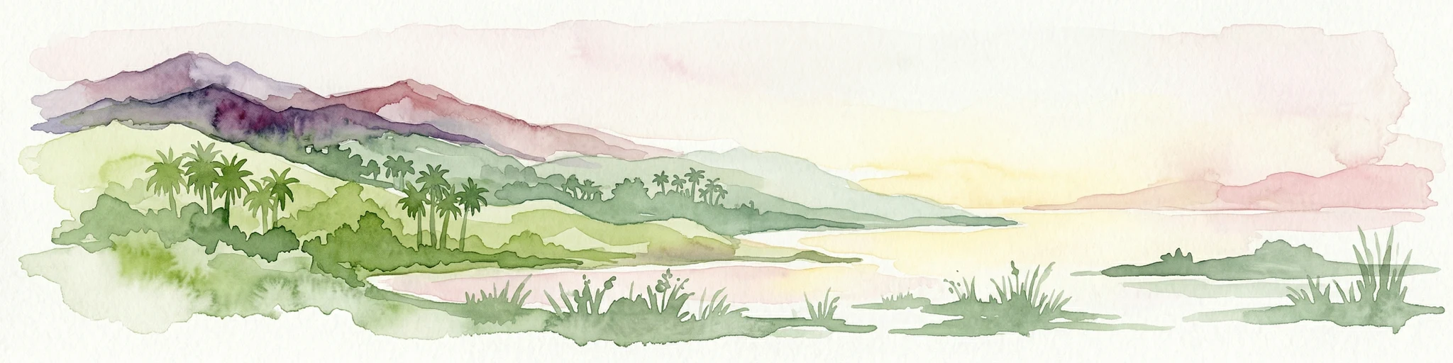
Watercolor painting of a coastal landscape featuring palm trees, mountains, and a body of water
National parkValparaíso Region
713 km away#3 closest

East

La Campana National Park: Protected Landscape of Chilean Wine Palms

Explore its mapped terrain and regional geographic context.

La Campana National Park represents a significant protected landscape within Chile, celebrated for its exceptional concentration of Chilean Wine Palms (Jubaea chilensis). As a national park situated in the Valparaíso Region, it showcases a diverse range of Mediterranean ecosystems and dramatic coastal mountain terrain. This page provides detailed atlas-style context, highlighting the park's unique botanical heritage, its distinct geographic setting, and its importance as a mapped natural area for regional landscape studies.

Area
80 km²
Established
1967
IUCN
II
Visitors
39.6K annual
National parkMaule Region
734 km away#4 closest

East

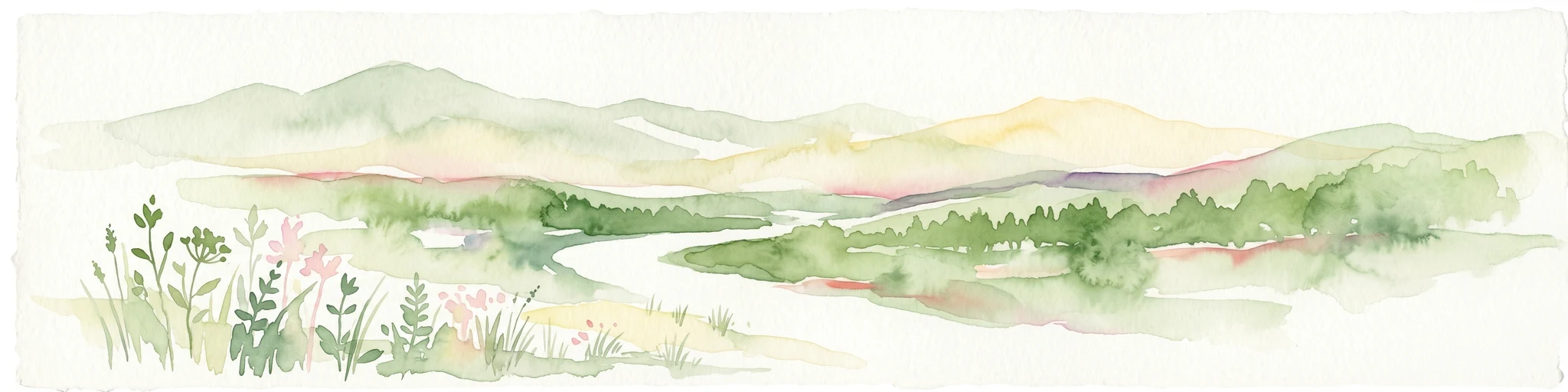
Radal Siete Tazas National Park: Iconic Seven Cups Waterfall System and Pre-Andean Terrain Exploration

Mapped protected landscape in Maule Region, Chile.

Radal Siete Tazas National Park showcases a remarkable cascade of seven natural rock pools and waterfalls along the Claro River, a defining feature within its steep pre-Andean topography. This national park in Chile's Maule Region offers a landscape rich with volcanic influences and dramatic riverine erosion. Users can explore its distinct terrain, mapped boundaries, and the striking visual geography that makes this protected area a significant natural landmark for atlas-based discovery.

Area
41.4 km²
Established
2008
IUCN
II
Relief
Mountain
Watercolor illustration of a river winding through a valley with rolling hills and green vegetation in the foreground.
National parkCoquimbo Region
741 km away#5 closest

East

Bosque de Fray Jorge National Park: National Park Protected Landscape & Geographic Atlas

Explore mapped boundaries and regional natural landscape context.

Bosque de Fray Jorge National Park is a key protected area offering unique insights into Chile's natural landscapes. This entry provides detailed geographic context, focusing on its status as a national park and its mapped boundaries within the Coquimbo Region. Discover its place in the regional atlas and understand its protected landscape identity for focused geographic exploration.

Area
100 km²
Established
1941
IUCN
II
Visitors
13.1K annual
National parkSantiago Metropolitan Region
767 km away#6 closest

East

Río Clarillo National Park: National Park Boundaries and Geographic Atlas Context

Mapped protected landscape in Santiago Metropolitan Region.

Discover the distinct protected landscape of Río Clarillo National Park, a national park situated within Chile's Santiago Metropolitan Region. This entry is designed for atlas-style exploration, focusing on the park's mapped boundaries, its integration into the regional geography, and its significance as a protected natural area. Understand the geographic context and landscape characteristics that define Río Clarillo National Park, enabling a deeper appreciation of its role within the broader conservation map.

Area
101.85 km²
Established
1982
IUCN
IV
Relief
Upland
National parkBío Bío Region
781 km away#7 closest

Southeast

Laguna del Laja National Park: Mapped Protected Area in Chile's Bío Bío Region

Explore regional park geography and landscape context.

Laguna del Laja National Park represents a key protected area with distinct geographic attributes within the Bío Bío Region. This profile focuses on its identity as a national park, providing context for its mapped boundaries and natural landscape. Discover its place in regional geography, offering valuable insights for any atlas-focused exploration of Chile's protected lands.

Area
119 km²
Established
1958
IUCN
II
Visitors
48.8K annual
National parkChile
795 km away#8 closest

Southeast

Tolhuaca National Park National Park: Mapped Boundaries and Chilean Geography

Explore the protected landscape and regional context of this park.

Tolhuaca National Park is a protected national park located in Chile, offering a distinct point for geographic and landscape discovery. This detailed view focuses on the park's mapped boundaries, its environmental setting within Chile, and its overall protected-area identity. Engage with structured data that clarifies its position in the broader atlas of natural landscapes, providing context for regional geography and conservation efforts.

Area
64.74 km²
Established
1935
IUCN
II
Visitors
6.5K annual
National parkLa Araucanía Region
831 km away#9 closest

Southeast

Conguillío National Park: Mapped Protected Landscape and Geographic Context

Discover unique terrain within La Araucanía Region's geography.

Conguillío National Park is a vital protected landscape offering rich opportunities for geographic discovery. This page details the park's specific location within La Araucanía Region, highlighting its mapped natural features and protected boundaries. Understand Conguillío National Park's role as a national park and explore its distinct terrain and regional landscape context.

Area
608 km²
Established
1950
IUCN
II
Visitors
21.8K annual
National parkLos Ríos Region
835 km away#10 closest

Southeast

Alerce Costero National Park: Explore Protected Landscapes and Ancient Forests in Los Ríos Region

Discover mapped terrain and unique Valdivian ecosystem geography.

Alerce Costero National Park stands as a significant protected landscape in Chile's Los Ríos Region, celebrated for its ancient Fitzroya trees and as a sanctuary for the Valdivian temperate rainforest. The park's protected boundaries encompass rugged terrain within the Cordillera Pelada, offering insights into unique watershed geography and the resilience of an ancient forest ecosystem. Its diverse landscape, a mosaic of old-growth woods and natural clearings, provides essential habitat and a remarkable geographic context for atlas exploration.

Area
139.75 km²
Established
2010
IUCN
III
Relief
Mountain
National parkLa Araucanía Region
872 km away#11 closest

Southeast

Huerquehue National Park: Ancient Araucaria Forests and Glacial Lakes in La Araucanía

Mapped protected area in the Andean foothills of Southern Chile.

Delve into the protected landscape of Huerquehue National Park, a key component of Chile's southern conservation efforts within the La Araucanía Region. This national park is defined by its ancient araucaria forests, home to the iconic monkey puzzle tree, and a network of clear glacial lakes including Tinquilco Lake. Its mountainous terrain, rising from 720 to 2,000 meters, showcases a vital representative of the Andean-Patagonian forest ecosystem, offering rich context for map exploration and understanding protected-area geography.

Area
125 km²
Established
1967
IUCN
II
Visitors
35.5K annual
National parkLa Araucanía Region
876 km away#12 closest

Southeast

Villarrica National Park: Chile's Protected Landscape in La Araucanía Region

Mapped boundaries and regional geography exploration

Villarrica National Park represents a crucial protected area within the diverse geography of Chile's La Araucanía Region. This atlas-focused entry provides detailed geographic context and mapped park boundaries, essential for understanding the park's landscape identity. Explore the foundational elements of this national park for structured geographic discovery.

Area
630 km²
Established
1940
IUCN
II
Visitors
115.8K annual
National parkArgentina
893 km away#13 closest

East

El Leoncito National Park: High-Altitude Andean Puna and Steppe Protected Landscape

Explore mapped boundaries and unique geographic context in San Juan Province.

El Leoncito National Park in Argentina's San Juan Province preserves critical high-altitude ecosystems, including the Central Andean Puna and Southern Andean steppe. This protected landscape spans dramatic mountain terrain, with elevations reaching over 6,000 meters, providing a unique geographic setting. The park's conservation value is underscored by its representative ecological samples and stark natural beauty, offering a distinct regional geography for exploration.

Area
897.06 km²
Established
2002
IUCN
II
Relief
Mountain
National parkNeuquén Province
894 km away#14 closest

Southeast

Lanín National Park: Volcanic Landscapes and Ancient Forests in Neuquén Province

Explore the protected area's mapped terrain and glacial lakes.

Lanín National Park offers a deep dive into the dramatic geography of Argentine Patagonia, centered around the prominent Lanín volcano. This national park preserves ancient araucaria forests, diverse ecosystems, and breathtaking glacial lakes like Huechulafquen and Lácar. Its extensive protected landscape provides critical habitat and opportunities to explore unique Andean terrain through map-driven discovery.

Area
3,790 km²
Established
1937
IUCN
II
Relief
Mountain
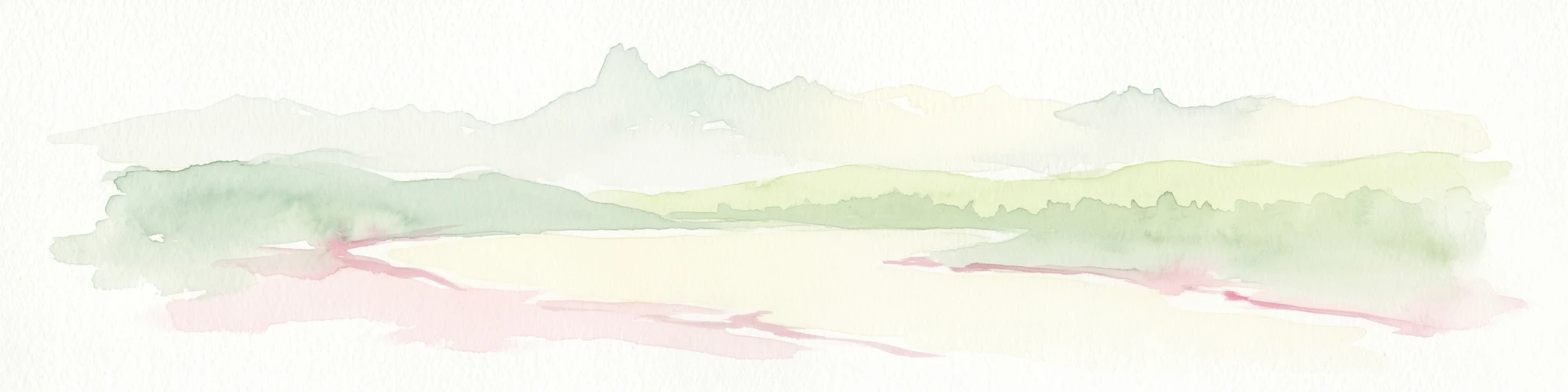
Watercolor illustration of a mountain range with a lake and forested hills in soft green, pink, and beige tones
National parkLos Lagos Region
942 km away#15 closest

Southeast

Puyehue National Park: Mapped Boundaries and Volcanic Landscape in Los Lagos Region

Explore Chile's dramatic Andean protected area.

Puyehue National Park is a key protected area in the Los Lagos Region of Chile, recognized for its distinctive volcanic landscapes and geothermal features. This detail page offers an atlas-centric view, highlighting the park's mapped boundaries, the terrain shaped by volcanoes like Puyehue, and its ancient temperate rainforest ecosystems. Understand its geographic context within the Andes and its significance as a protected national park.

Area
1,070 km²
Established
1941
IUCN
II
Visitors
133K annual
National parkAtacama Region
943 km away#16 closest

Northeast

Llanos de Challe National Park: Unique Coastal Desert and Lomas Ecosystem

Atacama Region National Park with Dramatic Terrain and Wildlife

Llanos de Challe National Park presents a rare protected coastal desert environment within the Atacama Region. Its unique lomas ecosystem, sustained by coastal fog, supports a surprising diversity of life. The park encompasses striking geographic features, from unspoiled white-sand beaches to rugged mountainous terrain, offering a clear example of a vital protected landscape with significant guanaco populations and unique flora, all mapped within its regional context.

IUCN
II
Relief
Mixed relief
Climate
Arid
Scope
Mixed
National parkRío Negro Province
954 km away#17 closest

Southeast

Nahuel Huapi National Park: Protected Area Landscape and Geographic Context in Río Negro

Explore mapped natural terrain and park boundaries within Patagonia.

Nahuel Huapi National Park is a crucial protected area offering a deep dive into the Patagonian landscape. Situated in Argentina's Río Negro Province, this national park provides a detailed view of mapped natural terrain and its environmental context. Users can explore the park's geographic identity and protected boundaries, making it an essential stop for understanding the regional geography and conservation significance of this part of South America.

Area
7,050 km²
Established
1934
IUCN
II
Relief
Mountain
National parkNeuquén Province
957 km away#18 closest

Southeast

Laguna Blanca National Park: National Park in Neuquén Province, Patagonia

Mapped protected area and regional landscape context.

Laguna Blanca National Park represents a key protected landscape within the expansive geography of Neuquén Province, located in the Patagonia region of Argentina. This national park entity serves as a critical node for atlas exploration, allowing users to understand its specific protected boundaries and its contribution to the regional protected-area network. Investigate Laguna Blanca National Park to gain insight into its unique geographic setting and its role within the mapped natural areas of Western Argentina.

Area
112.5 km²
Established
1940
IUCN
II
Relief
Upland
National parkLos Lagos Region
983 km away#19 closest

Southeast

Vicente Pérez Rosales National Park: Protected Landscape & Regional Geography Atlas

Mapped park boundaries and natural terrain in Los Lagos Region.

Delve into the protected area identity of Vicente Pérez Rosales National Park, a significant national park situated in Chile's Los Lagos Region. This detailed exploration focuses on understanding the park's geographic setting, its mapped landscape features, and its contribution to the regional atlas of protected territories. Discover the natural terrain and boundary context that define this unique Chilean landscape.

Area
2,530 km²
Established
1926
IUCN
II
Visitors
332.3K annual
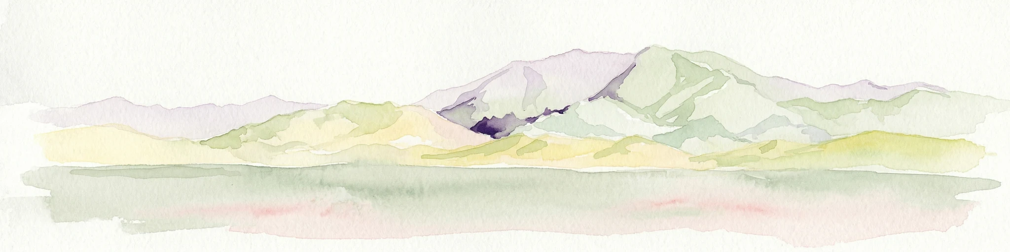
Watercolor illustration of mountain ranges with green and yellow hills, a central dark peak, and pinkish foreground
National parkArgentina
1,006 km away#20 closest

East

San Guillermo National Park: High Andes Protected Landscape & Vicuña Conservation Area

Explore its rugged terrain and arid mountain ecosystem.

San Guillermo National Park, a key national park in Argentina's San Juan Province, protects over 166,000 hectares of high-altitude Andean wilderness. Its landscape is defined by arid mountain ranges and expansive puna grasslands, serving as a critical sanctuary for vicuñas and other high-Andean wildlife. This page offers detailed geographic context for understanding the park's protected boundaries, unique terrain, and its importance as a mapped conservation area.

Area
1,660 km²
Established
1998
IUCN
II
Relief
Mountain
Distance methodology

Geographic measurements, not driving distances

How nearby park distances are calculated

Distances use park boundaries whenever the available geometry allows it. When one or both boundaries are missing, the mapped park locations provide a clearly labelled estimate. Every value represents straight-line geographic separation and does not use roads or routing.

Boundary distance

Calculated between the nearest points of both park boundaries.

Location-to-boundary estimate

Estimated from one mapped park location to the nearest boundary of the other park.

Mapped-location estimate

Estimated between the mapped locations of both parks.

MoriAtlas Explorer

Continue Exploring Archipiélago de Juan Fernández National Park's Unique Geography and Protected Boundaries

Deepen your understanding of Archipiélago de Juan Fernández National Park by examining its specific mapped boundaries, volcanic terrain, and the geographic factors contributing to its extreme endemism. This site offers a detailed look at one of the world's most isolated protected landscapes, providing valuable context for regional geography and island conservation studies. Continue your exploration to appreciate the full scope of this remarkable national park's ecological and geographical significance.