North
Chobe National Park
Discover Botswana's diverse protected areas and unique savanna wetlands.
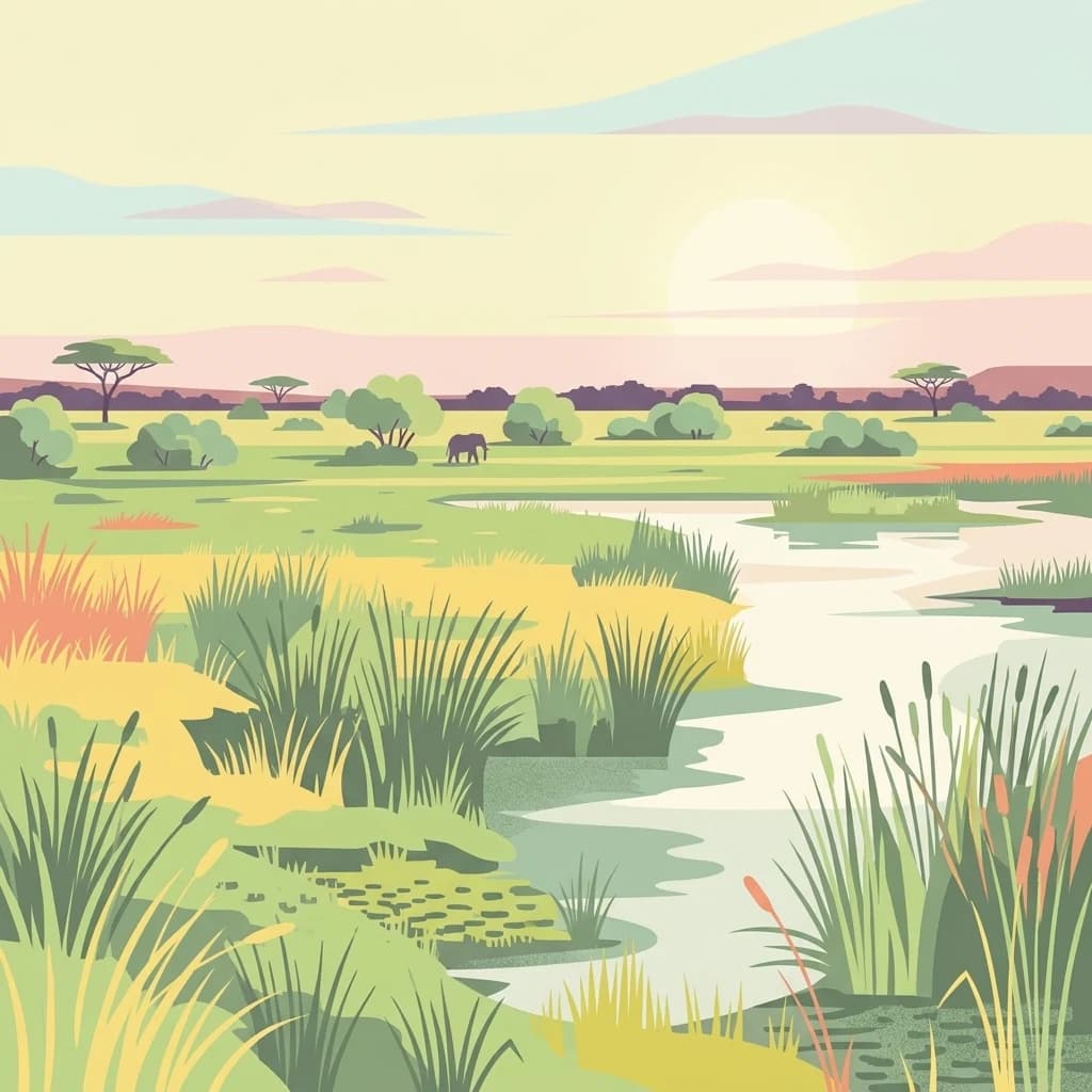
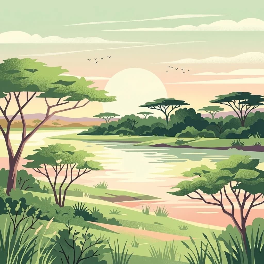
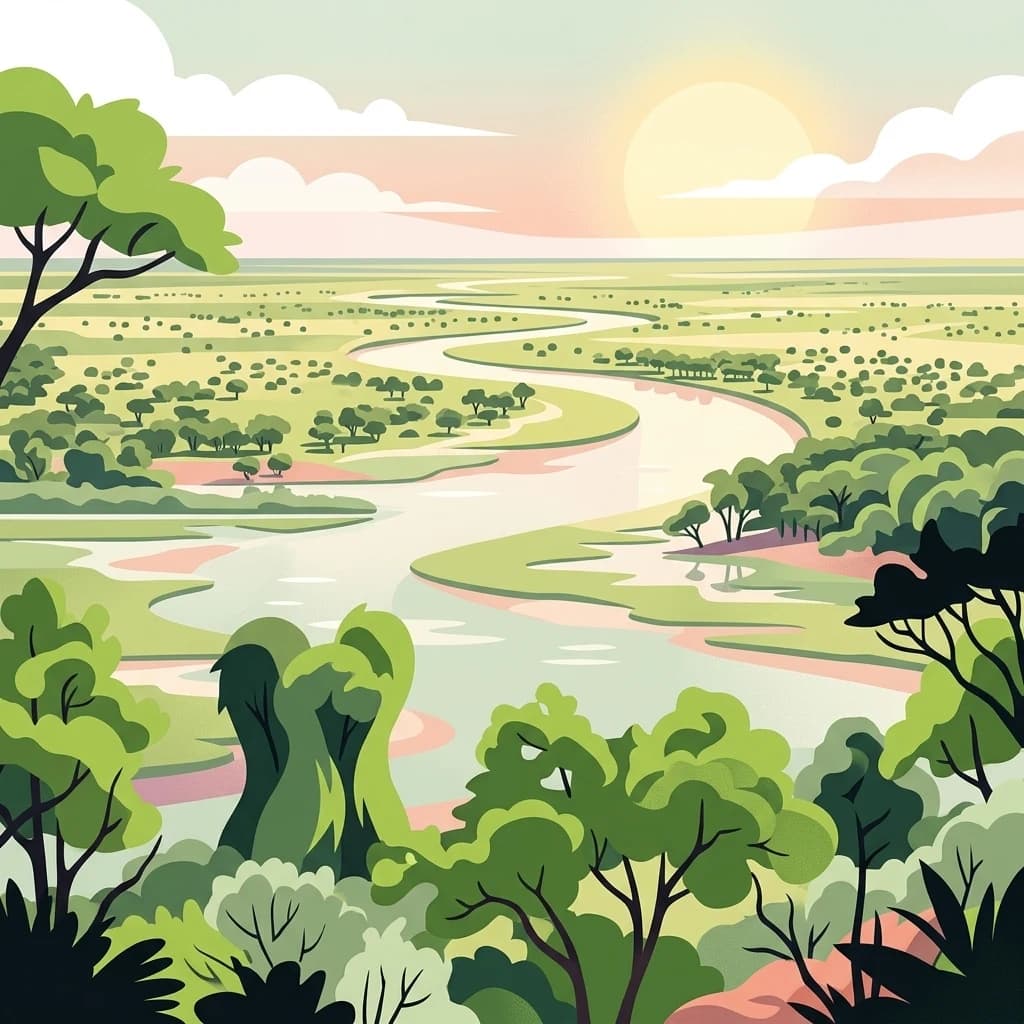
Chobe National Park, in Botswana. Landscapes: wetlands, forests, and woodlands.
- Area
- 11,700 km²
- Established
- 1967
- IUCN
- II
- Relief
- Mixed relief
Explore the geographic distribution of surrounding conservation landscapes
Examine the network of national parks and protected areas situated within the regional geography of Nxai Pan National Park. This geographic overview visualizes the proximity and distribution of neighboring wilderness lands, offering insights into the broader landscape context across northern Botswana.

Baobab-studded wilderness on the edge of Botswana's ancient salt pans
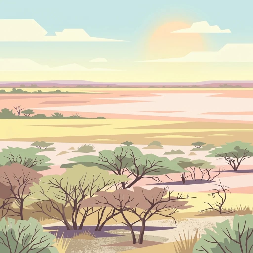
Nxai Pan National Park is a vast wilderness area in north-eastern Botswana, protecting a portion of the Makgadikgadi Pan system, one of the largest salt flat complexes in Africa. Established in 1992 and spanning approximately 2,578 square kilometres, the park encompasses the fossil lake bed of Nxai Pan, a remnant of the ancient Lake Makgadikgadi that once covered much of this region. The landscape is characterised by expansive salt-crusted pan surfaces, sparse grasslands, and distinctive baobab-adorned islands that rise like sentinels from the flat terrain. The park forms part of the Kavango-Zambezi Transfrontier Conservation Area, the world's second-largest nature conservation area, linking protected landscapes across five southern African nations. This remote wilderness offers visitors a distinctive safari experience centred on iconic African wildlife against a backdrop of otherworldly salt pan scenery.
See the ranked park cluster in its geographic setting
Distance ranked collection and regional geography comparison signals

North
Discover Botswana's diverse protected areas and unique savanna wetlands.
Chobe National Park, in Botswana. Landscapes: wetlands, forests, and woodlands.

Southeast
Explore its mapped boundaries and regional natural terrain.
Makgadikgadi Pans National Park is a designated national park in Botswana, contributing significantly to the region's atlas of protected lands. This page details its geographic scope, emphasizing its role as a mapped natural landscape within Southern Africa. Explore the park's unique protected-area identity and understand its place within Botswana's diverse, largely Kalahari Desert-influenced terrain.
Northeast
National Park with distinct geographic and landscape context.
Hwange National Park, in Matabeleland North, Zimbabwe. Landscapes: forests, woodlands, and grasslands.
Northeast
Unique plains landscape with reliable dry-season wildlife viewing.
Kazuma Pan National Park offers a rare glimpse into Zimbabwe's expansive grassy plains and vital pans, creating a unique protected landscape. This national park is critical for understanding regional wildlife migrations and the geographic context of conservation areas in northwestern Zimbabwe, providing an essential entry point for atlas-based exploration of its terrain and ecological significance.

Northwest
Explore the mapped protected area and its regional landscape context.
Nkasa Rupara National Park represents a distinct protected landscape within Namibia. This entry provides detailed geographic context, focusing on the park's mapped boundaries and its role as a national park. Understand how this protected area contributes to the broader regional geography, offering a focal point for atlas-based exploration of Namibia's natural lands.
North
Explore mapped boundaries and protected area context.
Delve into Zambezi National Park, a designated national park situated in Hwange District. This entry provides foundational geographic and landscape context, highlighting the park's protected status and its position within the regional terrain. Understand the atlas significance and mapped features of this conservation landscape for informed discovery.

North
Atlas exploration of park boundaries and natural terrain.
Victoria Falls National Park is a key component of Zimbabwe's protected natural areas. This page provides structured information ideal for atlas-based exploration, detailing the park's geographic position and mapped landscape features. Understand its significance as a national park and its contribution to the region's conservation geography.
Northwest
Mapping the protected area and regional landscape context in Caprivi Region.
Navigate the protected geography of Mudumu National Park, a designated national park situated within the Caprivi Region. This entry provides a structured atlas view of its mapped boundaries and landscape context. Gain a clear understanding of its protected status and its place within the regional geographic framework, offering essential detail for map-based exploration of natural areas in Namibia.

Northeast
Mapped boundaries and protected landscape context in Southern Province, Zambia.
Mosi-oa-Tunya National Park, in Southern Province, Zambia. Landscapes: forests, woodlands, and grasslands.

Northwest
Explore savanna ecosystem and riverine landscapes.
Bwabwata National Park represents a significant protected landscape in Namibia's Zambezi Region, notable for its integrated community conservation model and its function as a vital wildlife corridor. This national park spans the Caprivi Strip, featuring savanna woodlands and crucial riparian zones along the Okavango and Kwando rivers. As a key component of the Kavango-Zambezi Transfrontier Conservation Area, it facilitates significant elephant migrations, providing rich opportunities for atlas-based exploration of mapped protected areas and regional geography.

Northwest
Discover the geographic context and protected area boundaries of Sioma Ngwezi National Park.
Sioma Ngwezi National Park is a key protected area within Zambia, offering significant opportunities for geographic discovery. This national park's mapped boundaries define a significant natural landscape, providing crucial context for regional atlas exploration. Users can explore the park's specific identity as a conservation territory and understand its placement within Zambia's diverse terrain. The focus here is on the park's structured geographic data and its role in mapping protected lands across Southern Africa.
Northwest
Mapping crucial habitats for large mammals and avian wildlife.
Luengue-Luiana National Park is a vital protected landscape in southeastern Angola, covering an immense area that transitions from open woodland ecosystems to vast, seasonal floodplain grasslands. As a cornerstone of the Kavango-Zambezi Transfrontier Conservation Area, it facilitates critical wildlife movements and supports significant populations of large mammals. Its geography provides essential habitat, particularly within the extensive wetland wilderness and riparian zones along the Cuando River, making it a significant site for regional biodiversity and atlas exploration.

North
Mapped boundaries and landscape context in southern Africa.
Kafue National Park represents a vital component of Zambia's protected lands, offering a distinct perspective for atlas-driven geographic exploration. This national park's identity is tied to its extensive mapped boundaries and its contribution to the regional landscape of southern Africa. Users engaging with this entry can uncover the protected area's specific geographic context and map-based details, enhancing their understanding of conservation landscapes.

East
Explore its mapped boundaries and regional context.
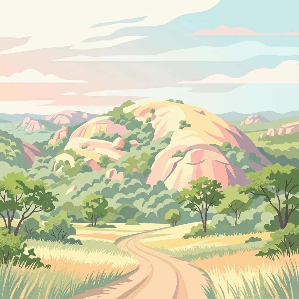
Matobo National Park, in Matobo District, Zimbabwe. Landscapes: mountains, hills, and valleys.
West
Explore mapped boundaries and seasonal river ecosystems.
Khaudum National Park is a substantial protected landscape in northeastern Namibia, deep within the Kalahari Desert. This remote national park encompasses over 3,800 square kilometers of dry forest and acacia woodland, dissected by three major Omuramba dry river systems. It is globally recognized for its thriving populations of large predators like lions and spotted hyenas, alongside significant numbers of elephants and giraffes. The park's unique semi-arid terrain and biodiversity make it a key destination for understanding regional protected-area geography and landscape context.

Northeast
Explore rugged mountains, deep gorges, and unique woodland ecosystems.
Chizarira National Park offers an unparalleled exploration of wilderness and dramatic geography within Zimbabwe. Situated along the imposing Zambezi Escarpment, its landscape is characterized by a 600-meter drop, rugged mountains, and deep river gorges carved by perennial streams. This protected area, known for its remote appeal and rich leopard populations, provides a distinct view of miombo and mopane woodlands, contributing to its unique ecological identity within the regional geography.
Northwest
Explore mapped boundaries and regional context of this national park.
Mavinga National Park stands as a designated protected area within Angola, offering insights into the nation's natural landscapes and conservation efforts. This entry details the park's geographic footprint and its role as a national park. It provides users with essential map-based discovery tools to understand the park's setting, its physical geography, and its significance as a protected natural landscape in southern Africa.
Northeast
Explore its unique wetland geography and protected area boundaries.
Lochinvar National Park in Zambia is a vital protected landscape characterized by extensive floodplains and seasonal wetlands along the Kafue River. As a national park, it safeguards the unique ecosystem of the Kafue Flats, renowned for hosting massive herds of endemic Kafue lechwe and a remarkable diversity of bird species, exceeding 400 recorded. The park's terrain varies from open marshes and lagoons like Chunga Lagoon to drier woodlands dotted with termite mounds and low hills, providing a geographically rich environment for detailed atlas exploration and landscape context.
Northeast
Mapped boundaries and regional terrain for Matusadona National Park.
Matusadona National Park presents a vital component of Zimbabwe's protected land inventory. This detail page offers an atlas-centric view, highlighting the park's mapped geographic features and its distinct landscape character. It is designed to facilitate a structured understanding of Matusadona National Park as a specific protected area, providing essential context for regional geography and natural landscape exploration without delving into visitor logistics or park operations.

Southeast
Mapped savanna ecosystems and rich cultural heritage at the Limpopo River confluence.
The Greater Mapungubwe Transfrontier Conservation Area, situated in South Africa, stands as a remarkable example of collaborative conservation across national borders. This protected area protects diverse savanna landscapes, particularly around the confluence of the Shashe and Limpopo Rivers, and holds immense cultural value as home to the Mapungubwe Cultural Landscape, a UNESCO World Heritage Site. By examining its mapped geography and protected area status, users gain insight into the ecological corridors vital for wildlife and the ancient archaeological heritage preserved within this significant transfrontier initiative.
Geographic measurements, not driving distances
Calculated between the nearest points of both park boundaries.
Estimated from one mapped park location to the nearest boundary of the other park.
Estimated between the mapped locations of both parks.
Delve deeper into understanding Nxai Pan National Park's place within Botswana's protected landscapes. Learn more about its specific geography, the nature of its salt pan terrain, and how its mapped boundaries contribute to the regional conservation atlas. This exploration provides structured insight into the park's unique environmental characteristics and its significance as a mapped natural area.