
National parkTurkey

Göreme Historical National Park
Explore the unique geography and rock-cut churches of Cappadocia.
Göreme Historical National Park, in Turkey.
II

Discover the geographic distribution and mapped protected landscapes across Turkey's diverse terrain.
Browse profiles of parks and protected areas in Turkey, including Göreme and Mount Nemrut National Park.
Related tags
Explore the Geographic Distribution of Turkey's Diverse Protected Landscapes, spanning Anatolia and Thrace
Explore a comprehensive list of Turkey's national parks, significant nature reserves, and other protected areas, showcasing diverse landscapes from its Black Sea coast to the Anatolian interior. This country-wide atlas view offers essential geographic context for understanding the full distribution of Turkey's conservation efforts and natural heritage across its transcontinental span.
Showing 1 to 20 of 43 parks
Explore the unique geography and rock-cut churches of Cappadocia.
Göreme Historical National Park, in Turkey.

Explore the mapped boundaries of this significant national park.
Mount Nemrut National Park, in Turkey.
Aydın Province's unique national park with diverse ecosystems.
Dilek Peninsula-Büyük Menderes Delta National Park, in Aydın Province, Turkey. Landscapes: mountains, valleys, and canyons.
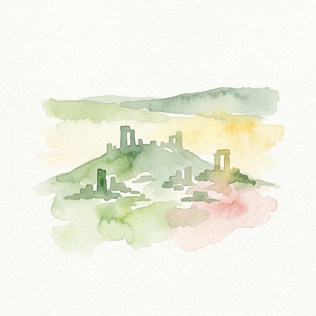
Explore the terrain and protected boundaries of this key Turkish heritage site.
Ancient Troya National Park, in Turkey. Landscapes: coasts, hills, and valleys.

Mapped protected area in Turkey's Marmara region.
Delve into the protected landscape of Uludağ National Park, Turkey's first national park, renowned for its distinctive alpine environment and dramatic mountain terrain. This page offers a detailed atlas view of the park's geography, mapped boundaries, and unique ecosystems, providing essential context for understanding this significant protected area within Turkey's natural heritage.

A remarkable national park showcasing dramatic canyon geography and karst landscapes.
Saklıkent National Park presents an extraordinary example of a protected landscape dominated by a deep limestone canyon in Muğla Province, Turkey. This national park invites exploration of its striking geological features, including towering cliffs and flowing karstic springs that form a spectacular gorge. Users engaging with Saklıkent National Park gain insight into the mapped boundaries of protected areas and the unique natural terrain sculpted by water over millennia, offering a rich geographic context for atlas discovery.

Discover the dramatic glacial valleys and ridgelines.
Kaçkar Mountains National Park stands as a protected sentinel of Turkey's rugged alpine beauty. This national park encompasses dramatic peaks, glacier-carved valleys, and extensive highland meadows, offering a rich tapestry of mountain geography. Explore the mapped boundaries and landscape context of this iconic protected area, understanding its position within the broader topography of Turkey's Black Sea region.

Mapped geography and protected landscape context within Turkey's Aegean region.
Kazdağı National Park is a significant protected area in Turkey, renowned for its dramatic mountain landscape encompassing Mount Ida. This park safeguards a critical subalpine forest ecosystem, characterized by diverse tree species that transition into rocky summits and alpine meadows. Understanding Kazdağı National Park's mapped boundaries provides essential insight into the regional geography, watershed protection, and the unique natural terrain found in western Turkey's Mediterranean mountain ranges, offering a solid foundation for geographic discovery.

Discover mapped terrain and unique natural park geography.
Yedigöller National Park presents a distinctive protected landscape within Bolu Province, notable for its chain of seven landslide-formed lakes and extensive, dense forests. This page serves as your entry point to understanding the park's geographic distribution, mapped boundaries, and the characteristic terrain that defines this important natural area. Explore the unique ecosystem and its place within the broader regional geography through structured atlas-style discovery.
Discover its geography, mapped boundaries, and unique flora.
Marmaris National Park in Muğla Province offers a deep dive into a protected Mediterranean forest ecosystem and Carian history. Explore its rugged terrain, dramatic coastlines where pine forests meet the sea, and discover ancient sites like the Amos amphitheatre. This park is a key area for understanding regional geography, mapped natural landscapes, and the unique botanical diversity of Turkey's southwestern coast, supporting detailed atlas exploration.

Explore Protected Landscape, Map Boundaries, and Regional Geography
Küre Mountains National Park, situated in Kastamonu Province, Turkey, offers a unique glimpse into ancient forest ecosystems and dramatic karst formations. As a protected national park, it is distinguished by its extensive canyon systems, including Horma and Valla, and significant cave networks like Ilgarini Cave. This entry provides detailed geographic context, helping users understand the park's terrain, protected boundaries, and its ecological importance within the Black Sea Region's natural landscape.
Discover Turkey's largest national park and its unique mountain geography.
Munzur Valley National Park stands as a monumental protected area within Tunceli Province, Turkey. Its expansive territory encompasses approximately 420 square kilometers of dramatic mountain ranges, deep river valleys, and high-altitude glacial lakes. The park's complex geological makeup, shaped by tectonic forces and glacial activity, contributes to its unique terrain. This atlas entry highlights the park's role as a major biodiversity hotspot and a significant feature within eastern Anatolia's regional geography, offering rich context for landscape exploration.
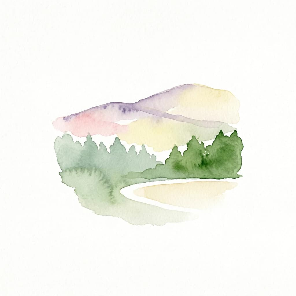
Explore the protected boundaries and avian geography of this key national park.
Kuşcenneti National Park stands as Turkey's foundational protected area for bird conservation, celebrated for its critical role as an avian migration crossroads and nesting ground. Situated in Balıkesir Province, this national park encompasses a diverse wetland ecosystem including shallow lakes, flooded willow forests, and extensive marshlands. MoriAtlas provides a detailed geographic context for Kuşcenneti National Park, highlighting its mapped protected area, unique landscape features, and profound significance for regional avian biodiversity.

Rugged terrain and crimson peaks in the Anti-Taurus Mountains.
Delve into Aladağlar National Park, a significant protected area defined by its striking alpine environment within Turkey's Anti-Taurus range. This park is renowned for its rugged, high-altitude wilderness, characterized by dramatic granite peaks that display a unique crimson coloration, especially at sunset. Its landscape features steep valleys, alpine lakes formed from snowmelt, and challenging mountaineering opportunities. MoriAtlas offers detailed map context to appreciate the geographic distinctiveness and ecological importance of this elevated protected terrain.

Explore mapped boundaries and natural terrain in Antalya Province.
Beydağları Coastal National Park is a significant protected national park located along the Mediterranean coast of Antalya Province, Turkey. This page provides an atlas-focused view of the park, detailing its geographic scope, the interplay of mountain and coastal landscapes, and its importance as a protected area. Users can delve into the mapped features and regional context that define this remarkable natural and historical landscape.

Discover unique geological formations and river canyon terrain.
Köprülü Canyon National Park represents a vital protected natural area, showcasing remarkable geological formations and a dramatic river canyon landscape. This entry provides a structured exploration of its mapped boundaries, regional geographic setting, and the unique terrain that defines this significant natural reserve, ideal for atlas-based discovery.

Bolu Province, Turkey | National Park | Mapped Landscape
Lake Abant National Park is a protected national park renowned for its stunning volcanic crater lake and surrounding alpine forests within Bolu Province. This detailed entry provides insight into the park's geographic context, its unique volcanic terrain, and its status as a protected landscape. Explore the mapped boundaries and understand the ecological significance of this distinctive natural area in northwestern Turkey.

Mapped geography of a rare Turkish floodplain forest ecosystem.
İğneada Floodplain Forests National Park, located in Kırklareli Province, stands as a testament to Turkey's rare floodplain ecosystems. This protected national park features a remarkable landscape blending coastal sand dunes stretching along the Black Sea with inland lakes, marshes, and ancient deciduous forests. Its unique 'longoz' configuration and rich biodiversity offer significant value for atlas exploration, revealing the intricate interplay of landforms and water systems within this protected natural area. Discover the geographic context and mapped boundaries of this important conservation landscape.

Explore the unique cliff-side monastery and mountain terrain of this national park.
Altındere Valley National Park is a significant protected area within Turkey's Trabzon Province, renowned for its breathtaking geography. The park encompasses a dramatic valley in the Pontic Mountains, where the historic Sümela Monastery is famously situated on a sheer cliff face. Users can explore the mapped boundaries, distinct landscape features, and the regional context of this unique protected natural and cultural heritage site. This destination offers a compelling focus for understanding protected landscapes and their integration with the surrounding geography.

Explore its mapped boundaries and regional geographic context.
Mount Spil National Park is presented here as a key protected area within Turkey's atlas of natural landscapes. This detail page focuses on its identity as a national park, providing a structured overview of its mapped boundaries and geographic setting. Understand its landscape context and its significance within Turkey's network of protected lands for detailed atlas exploration and geographic discovery.
Compare Turkey's extensive protected landscapes with the national park geographies of neighboring countries in the MoriAtlas.

Parks and protected areas in Cyprus, including Akama Peninsula (Natura 2000 site) and Fountoukodasi Pitsilias.

Parks and protected areas in Israel, including Masada and Qumran.
Parks and protected areas in Romania, including Danube Delta and Retezat.

Parks and protected areas in Greece, including Northern Pindus and Vikos-Aoös.
Parks and protected areas in Azerbaijan, including Hirkan and Gobustan.

Parks and protected areas in North Macedonia, including Lake Ohrid and Mavrovo.
Parks and protected areas in Bulgaria, including Pirin and Central Balkan.
Parks and protected areas in Moldova, including Orhei.
Protected area types
Deepen your understanding of Turkey's natural landscapes by continuing to explore its specific park designations. Access detailed classifications, discover the geographic spread of protected areas, and find context for each reserve type. This path offers a structured way to examine Turkey's dedication to conservation through its official designation system.
Narrow your search for parks in Turkey by environmental characteristics.