Northeast
Lemmenjoki National Park
Explore mapped park boundaries and regional natural context.
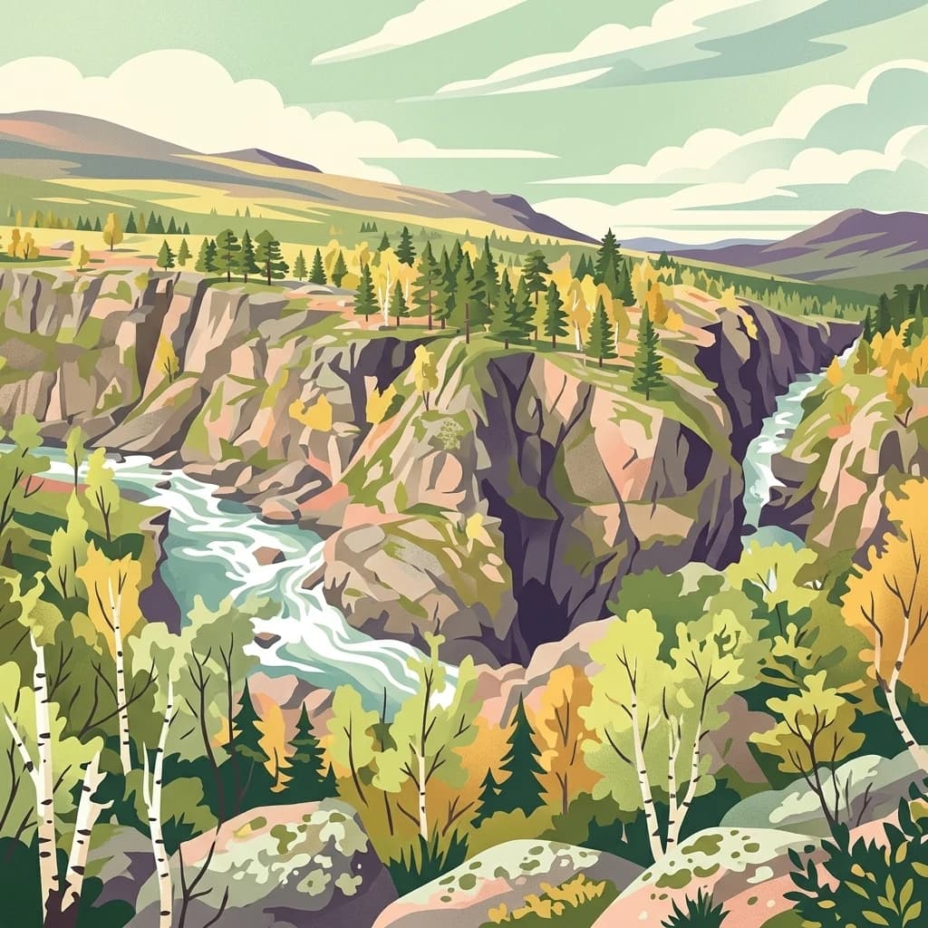
Lemmenjoki National Park, in Finland. Landscapes: forests, rivers, and valleys.
- Area
- 2,850 km²
- Established
- 1956
- IUCN
- Ib
- Visitors
- 21.1K annual
Mapping the geographic distribution of protected landscapes across Western Lapland
Identify protected areas and wilderness landscapes situated within the regional context of Pallas-Yllästunturi National Park. This geographic overview highlights neighboring parks across the boreal forest and fell terrain of Lapland, allowing for a comparative analysis of regional park boundaries and topographical features.

Finland's most visited national park protecting a 100-kilometre chain of ancient fells and boreal taiga forests in Arctic Lapland
Pallas-Yllästunturi National Park is Finland's third largest national park, spanning approximately 1,020 square kilometres across the municipalities of Enontekiö, Kittilä, Kolari and Muonio in Western Lapland. The park protects a dramatic landscape dominated by a chain of rounded fells stretching for roughly 100 kilometres, which represent the worn-down remains of an ancient folded mountain range dating back about three billion years. The highest peak, Taivaskero in the Pallastunturi Fells, rises 809 metres above sea level. The park lies within the boreal forest zone, featuring extensive taiga forests, mires, and open fell terrain. Established in 1938 and significantly expanded in 2005, Pallas-Yllästunturi has become Finland's most popular national park, with visitor numbers exceeding 590,000 in 2024. The landscape of Pallastunturi Fells has been recognized as one of Finland's national landscapes, reflecting its outstanding scenic and cultural value.
See the ranked park cluster in its geographic setting
Explore surrounding regional park geography, geographic separation, and recorded environmental characteristics.

Northeast
Explore mapped park boundaries and regional natural context.
Lemmenjoki National Park, in Finland. Landscapes: forests, rivers, and valleys.

Northeast
Explore Norway's Finnmarksvidda plateau geography.
Anárjohka National Park, a protected area in Norway's Finnmark region, offers a compelling atlas-level view of subarctic wilderness. The park's landscape is defined by its location on the Finnmarksvidda plateau, featuring rolling birch woodlands, open pine barrens, and extensive wetlands, all mapped within its protected boundaries. This park provides a crucial point of discovery for understanding regional geography, natural terrain, and the interconnectedness of protected lands across northern Europe.

Southeast
Explore Lapland's southernmost large fell system and deep gorges.
Pyhä-Luosto National Park offers a unique window into Finland's deep geological past and its boreal ecosystems. As a protected area, it encompasses a prominent chain of twelve fells composed of two-billion-year-old quartzite, showcasing the southernmost large fell system in the country. The park's landscape is further defined by features like Isokuru, Finland's deepest gorge, and extensive old-growth forests, providing rich context for map-based discovery and regional geographic understanding within Lapland.

East
Discover Finland's expansive Arctic wilderness and fell terrain.
Urho Kekkonen National Park represents a significant portion of Finland's protected Arctic landscape, offering a rich opportunity for geographic and atlas-based discovery. This national park in Lapland showcases dramatic fell formations, boreal forests, and extensive wetlands, with mapped boundaries that define its wild eastern reaches and more accessible western trails. Users can explore the unique terrain and understand its place within the broader regional geography, appreciating the vastness of this protected natural area.

Northwest
Subarctic terrain and geographic context in Troms, Norway.
MoriAtlas offers detailed geographic context for Reisa National Park, a protected landscape in Norway's Troms county. Explore the park's identity as a significant subarctic river valley, carved by the Reisa River into a dramatic canyon system. This page provides insights into its mapped natural features, regional landscape setting, and its importance within the broader atlas of protected areas. Understand the park's protected boundaries and terrain for structured geographic discovery.

West
Mapped boundaries and unique ecological terrain of a pristine wilderness.
Øvre Dividal National Park stands as a premier example of Arctic alpine wilderness, meticulously preserved as a national park in Norway's Troms region. This entry facilitates a detailed exploration of its mapped protected boundaries and the distinct elevational ecological zones, from boreal forests to high-altitude tundra. Gain geographic context for this vital landscape, which supports diverse habitats and contributes to Scandinavia's largest contiguous wilderness areas.

West
Explore its mapped terrain, canyon, and alpine ecosystems.
Rohkunborri National Park offers a profound encounter with northern Norway's wild geography. As a designated national park in Troms county, it features the iconic Sørdalen canyon, a dominant geological feature that shapes its diverse terrain. The park's landscape encompasses a rich ecological gradient, from boreal forests to alpine tundra, supporting a variety of wildlife. This protected area is crucial for understanding Scandinavian mountain ecosystems and transboundary conservation efforts, providing rich content for atlas-based exploration of its mapped boundaries and natural context.

North
Explore Finnmark's unique geography and protected terrain.
Stabbursdalen National Park preserves a remarkable ecological boundary, featuring the planet's northernmost Scots pine woodland within a dramatic Arctic landscape. This protected area offers a deep dive into rugged mountain terrain, river valley formations, and vital wetland habitats. As a key component of Norway's protected lands, it provides essential context for understanding regional geography and the limits of forest ecosystems on the mapped landscape.

Southwest
Mapped boreal terrain with ancient pines and dramatic ravines.
Muddus National Park, in Norrbotten County, Sweden. Landscapes: forests, wetlands, and bogs.

West
Subarctic national park with unique landscapes
Abisko National Park, in Norrbotten County, Sweden. Landscapes: mountains, valleys, and cliffs.

Southeast
Explore its geographic context and protected area identity.
Understand Salla National Park as a distinct protected landscape situated within the expansive northern Finnish region of Lapland. This MoriAtlas entry focuses on its identity as a national park, detailing its mapped boundaries and geographic setting. Discover how Salla National Park contributes to the atlas of protected areas, offering a specific point of reference for exploring the natural terrain and regional geography of this subarctic territory.

South
Explore emergent islands, sand dunes, and unique coastal geography.
Haparanda Archipelago National Park in Norrbotten County is a distinctive protected landscape characterized by its recent geological emergence and unusual sand dune formations along the northern Baltic coast. This national park offers a unique perspective on coastal geography, with islands steadily rising from the sea. MoriAtlas users can explore its mapped boundaries, understand its dynamic terrain, and appreciate its role as a significant protected area within Sweden's unique archipelagic environments.

West
Northernmost National Park in Norrbotten County, Sweden
Vadvetjåkka National Park offers a unique atlas perspective on Sweden's northernmost protected mountain landscape. Explore its remote Arctic terrain, characterized by glaciers existing at unusual low altitudes and significant karst cave systems carved into limestone bedrock. This is a vital point for understanding the mapped geography and protected natural features of Norrbotten County and Swedish Lapland.

South
Protected landscape and mapped terrain in northern Finland.
Delve into Bothnian Bay National Park, a key protected area situated in the Lapland region of Finland. This page serves as an atlas gateway to understanding the park's specific geographic features, its mapped boundaries as a national park, and its role within the broader context of Finland's protected natural landscapes.
Northeast
Explore ancient forests, wetlands, and transboundary protected landscapes.
Øvre Pasvik National Park is a landmark protected area in Northern Norway, showcasing a remarkably intact Siberian taiga ecosystem characterized by ancient Scots pine forests and extensive wetlands. This national park offers a unique geographic perspective with its notably flat terrain, distinguishing it within the broader Norwegian atlas. As part of the Pasvik, Inari Trilateral Park, it highlights significant transboundary conservation efforts and provides a valuable mapped resource for understanding European boreal landscapes and their unique wildlife habitats.

North
Mapped boundaries of protected terrain in Finnmark
Seiland National Park offers a distinct glimpse into Arctic island geography, renowned for protecting Scandinavia's northernmost glaciers. This protected area in Finnmark features a dramatic landscape shaped by glaciated mountains, deep coastal fjords, and alpine terrain, making it a key destination for understanding Nordic natural environments. MoriAtlas facilitates exploration of its mapped boundaries and the unique combination of glacial and marine ecosystems present.

West
Explore mapped terrain and regional geography.
Stora Sjöfallet National Park stands as a significant protected landscape within Norrbotten County, Sweden, renowned for its striking Arctic mountain scenery centered on the Áhkká massif. As a key component of the Laponian Area UNESCO World Heritage Site, its vast expanse of over 1,278 square kilometers offers critical insights into subarctic ecosystems, glacial terrain, and the mapped boundaries of a protected natural territory. Discover the unique geographic features and ecological value of this expansive national park.

Southeast
Mapped boundaries of a national park in northern Finland.
Delve into the protected landscape of Riisitunturi National Park, a key national park situated in the expansive region of Lapland, Finland. This MoriAtlas entry provides detailed geographic context, focusing on the park's mapped boundaries and its role within the natural terrain of northern Finland. Understand its identity as a protected area and its significance within a broader atlas of natural landscapes.

Southeast
Explore Finland's southernmost fell and diverse northern wilderness.
Delve into the protected territory of Syöte National Park, a key national park in northern Finland. This page highlights the park's distinct geographic features, including its southernmost fell, Iso-Syöte, alongside expansive mire systems and old-growth boreal forests. Understand the mapped boundaries and the unique ecological transition zone it represents within the Finnish atlas, offering a comprehensive view of its landscape context and protected area status.

Southeast
Explore mapped boundaries and regional terrain.
Discover Oulanka National Park as a distinct protected landscape entity within the extensive northern region of Lapland, Finland. This page provides structured geographic information, focusing on the park's mapped area, its regional setting, and its identity as a national park. MoriAtlas facilitates an atlas-driven understanding of Oulanka National Park's place in Finland's protected lands and its inherent natural terrain.
Geographic measurements, not driving distances
Calculated between the nearest points of both park boundaries.
Estimated from one mapped park location to the nearest boundary of the other park.
Estimated between the mapped locations of both parks.
Delve deeper into the geographic context and mapped protected area of Pallas-Yllästunturi National Park within the MoriAtlas. Understanding this significant national park's boundaries and landscape features provides essential insight into Lapland's broader regional geography and the distribution of protected lands across Finland. Continue your atlas exploration to uncover more about this iconic fell landscape.