Mori Atlas logo
Continents

Discover mapped protected landscapes and browse countries across Africa's diverse geography.

Africa: parks and protected areas

Explore maps and profiles of protected areas in Africa, including Serengeti and Kruger.

Related tags

continentafricasecond largest continentpopulous continentbiodiverse region
Park system

Geographic Profiles of National Parks and Protected Areas Across Africa

Comparing conservation scales, historical designations, and habitat profiles across country borders

Multi-country mapping allows for the exploration of diverse national parks, forest reserves, and conservation landscapes based on documented ecological boundaries. Evaluating current atlas records helps identify patterns in park size, establishment history, designation frameworks, and climate zones across different jurisdictions.
About

An Atlas View of Africa's Diverse Protected Landscapes and Continent-Wide Park Distribution

Discover National Parks and Protected Areas Across Africa's Vast Geography

Explore the extensive network of national parks and protected areas mapped across Africa's diverse geography, encompassing its vast landmass and various climatic zones. This continent-level perspective helps users understand the spread of conservation landscapes and navigate park geography across individual African countries and regions.

Africa is the second-largest continent by area and population, spanning approximately 30.3 million km². It encompasses 54 recognized sovereign states and has the youngest population of any continent with a median age of 19.7 in 2012. The continent straddles the equator and prime meridian, bordered by the Mediterranean Sea, Indian Ocean, and Atlantic Ocean.

Africa is the world's second-largest continent after Asia, covering about 20% of Earth's land area. With nearly 1.4 billion residents as of 2021, it represents approximately 18% of the global population. The continent is characterized by significant linguistic diversity with 1250-3000 native languages, and a predominantly young population structure. It contains substantial natural resources but faces challenges including environmental issues like desertification, deforestation, and water scarcity.

Official name:Africa
Continent code:AF
Countries
56
Parks count
670
Area
30,370,000 km²
Population
1,393,676,444 (2,021)
Park atlas670 parks

Browse Africa's national parks and protected areas, mapping their geographic distribution across the continent's vast and diverse terrain.

Discover National Parks in Africa: A Comprehensive Geographic Atlas of Protected Areas

Explore a comprehensive list of Africa's national parks and protected areas, spanning diverse conservation landscapes from its northern Mediterranean coast to its southern tip. This continent-level view offers essential geographic context, allowing users to trace the distribution of key protected lands and understand Africa's unique ecological diversity.
A flat-style digital illustration of an African savanna landscape with a dirt path winding through grassy plains, scattered acacia-like trees, and mesa-style hills under a pink and soft yellow sunrise.
National parkMara Region

Serengeti National Park: National Park Atlas and Protected Landscape Discovery

Explore savanna grasslands, regional geography, and mapped park boundaries.

Serengeti National Park, a significant national park within Tanzania's Mara Region, offers an unparalleled view into a vast protected landscape. This page provides access to the park's geographic identity, its defining savanna ecosystem, and its role as a critical component of the regional atlas. Understand the mapped extent of its protected boundaries and the unique natural context that supports its renowned wildlife.

Area
14,763 km²
Established
1940
IUCN
II
Visitors
350K annual
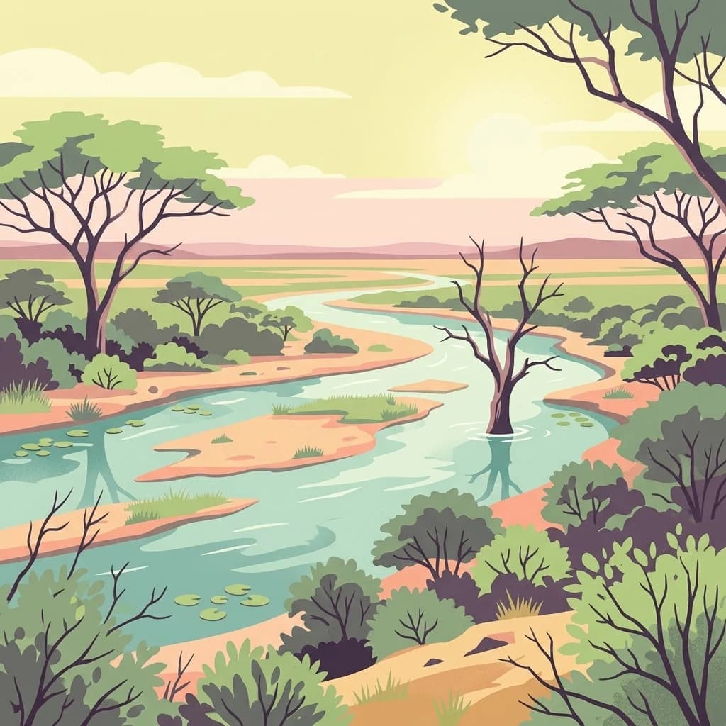
A flat, stylized digital illustration showing a winding river flowing through a savanna with acacia trees and patches of green vegetation under a soft, golden sky.
National parkSouth Africa

Kruger National Park

Explore savanna landscapes and mapped protected area boundaries.

Savanna, riverine forests, and mopane woodlands in South Africa provide habitat for elephants, lions, leopards, rhinos, and buffalo.

Area
19,623 km²
Established
1926
IUCN
II
Visitors
1.7M annual
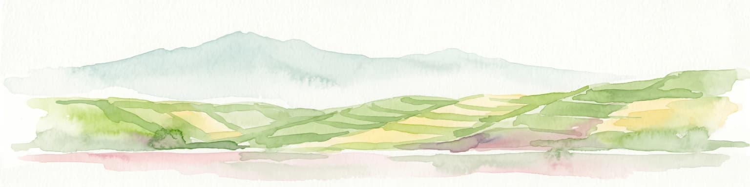
Watercolor illustration of rolling hills, mountains, and a river or lake
National parkDemocratic Republic of the Congo

Virunga National Park: Democratic Republic of the Congo's Premier Protected Landscape

Mapped boundaries and diverse Albertine Rift endemic geography.

Virunga National Park represents a pivotal protected area within the Democratic Republic of the Congo, characterized by an exceptional range of geographic features and vital ecosystems. Its protected landscape includes active volcanoes like Nyiragongo with its lava lake, the towering Rwenzori Mountains, and diverse lowland savannas. This atlas-focused entry highlights the park's unique position in the Albertine Rift, crucial for numerous endemic species and offering significant insight into regional geography and protected land context.

Area
7,800 km²
Established
1925
IUCN
II
Relief
Mountain
A digital illustration of an open, dry savanna landscape with scattered acacia trees and silhouettes of gazelles and zebras in the distance under a pastel sky.
National parkKunene Region

Etosha National Park

Discover its protected boundaries and geographic context.

Etosha National Park, in Kunene Region, Namibia. Landscapes: karst, deserts, and hills.

Area
22,270 km²
Established
1907
IUCN
II
Visitors
200K annual
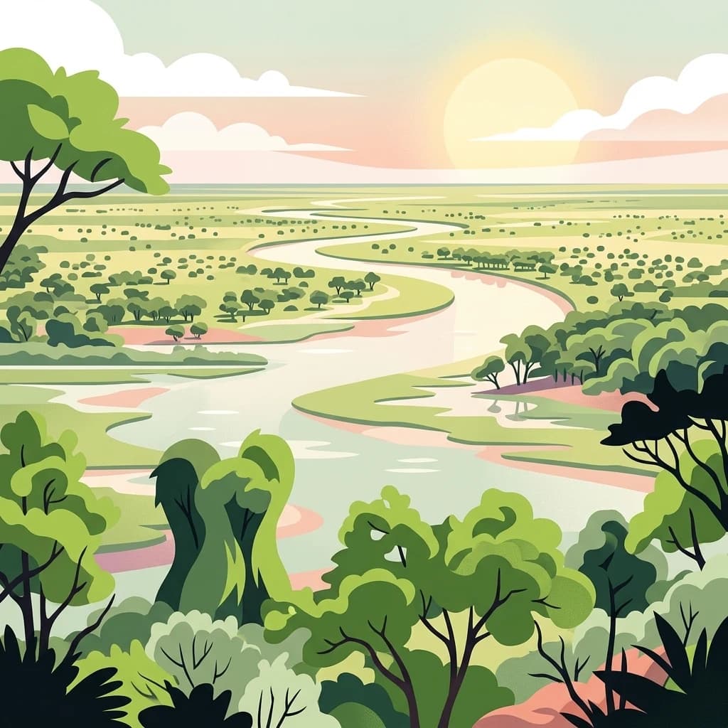
An illustrative style digital artwork showing a winding river through a savanna landscape with trees and a setting sun in the background.
National parkBotswana

Chobe National Park

Discover Botswana's diverse protected areas and unique savanna wetlands.

Chobe National Park, in Botswana. Landscapes: wetlands, forests, and woodlands.

Area
11,700 km²
Established
1967
IUCN
II
Relief
Mixed relief
A digital illustration of a savanna with two large acacia trees framing a winding river that flows through a grassy plain toward distant low mountains under a soft sunset sky.
National parkKenya

Amboseli National Park

Mapped geographic context and protected area boundaries.

Amboseli National Park, in Kenya. Landscapes: wetlands, lakes, and grasslands.

Area
392 km²
Established
1974
IUCN
II
Visitors
120K annual
A digital illustration of a landscape with a stream flowing over rocks in the foreground, savanna trees in the midground, and a large, snow-capped mountain under a soft-toned sky in the background.
National parkKilimanjaro Region

Kilimanjaro National Park

Explore its mapped boundaries and regional context.

Kilimanjaro National Park, in Kilimanjaro Region, Tanzania. Landscapes: mountains and forests.

Area
1,688 km²
Established
1973
IUCN
II
Visitors
52K annual
A digital illustration of a mountainous landscape viewed through thick tropical foliage, showing a central volcanic-style peak framed by trees.
National parkKanungu District

Bwindi Impenetrable National Park

Explore its protected landscape and regional context.

Bwindi Impenetrable National Park, in Kanungu District, Uganda. Landscapes: mountains, valleys, and forests.

Area
331 km²
Established
1991
IUCN
II
Relief
Mountain
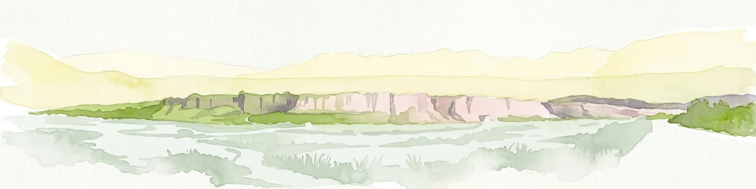
Watercolor painting depicting a landscape with cliffs, a body of water, and distant hills under a light sky
National parkSouthern Region

Þingvellir National Park: Witness Tectonic Plates and Ancient Icelandic Governance

Explore the rift valley and historic parliament site in Iceland's Southern Region.

Þingvellir National Park offers a singular opportunity for geographic discovery, situated in Iceland's Southern Region. This protected national park is globally recognized for its visible expression of the Mid-Atlantic Ridge, where the North American and Eurasian tectonic plates actively diverge, creating a dramatic rift valley. Moreover, Þingvellir served as the site of the Althing, Iceland's ancient parliament, making it a crucial historical landmark. Explore this landscape to understand both powerful geological processes and the foundations of Icelandic democratic history through its mapped terrain.

Area
92.7 km²
Established
1930
IUCN
II
Relief
Lowland
A flat-style digital illustration showing a winding dirt path leading toward a broad river flowing through a lush, forested landscape at sunset.
National parkNiger

W of the Niger National Park: National Park Protected Landscape and Geographic Atlas

Explore the mapped boundaries and regional geography of this protected area.

W of the Niger National Park is a designated national park offering detailed atlas-level context for its protected landscape. Users can investigate its mapped boundaries, understand its regional geographic setting, and gain insight into its unique natural terrain. This entry provides a focused view of the park's identity within the broader atlas for protected-area exploration.

Area
10,000 km²
Established
1954
Relief
Mixed relief
Climate
Tropical
A digital illustration of a mountainous landscape with jagged peaks in the background, a central lake, and foreground vegetation including bamboo stalks and rosette-shaped alpine plants.
National parkKenya

Mount Kenya National Park

Kenya's high-altitude Afro-alpine ecosystems and mapped park boundaries.

Mount Kenya National Park, in Kenya. Landscapes: mountains, forests, and rivers.

Area
715 km²
Established
1949
IUCN
II
Relief
Mountain
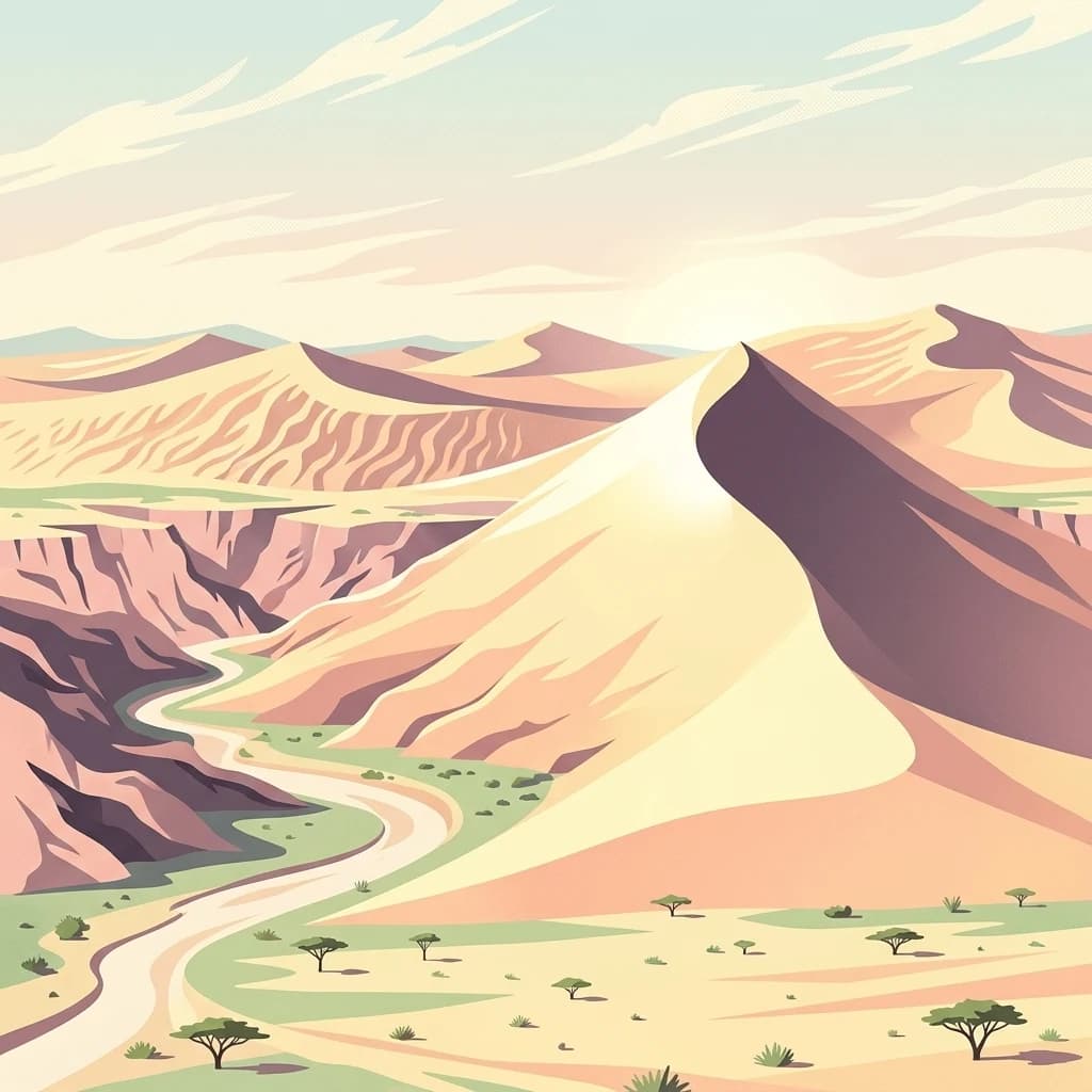
A digital illustration of a desert landscape with large sand dunes in the background and a winding sandy riverbed in the foreground, dotted with small acacia-like trees.
National parkNamibia

Namib-Naukluft National Park

Explore its ancient dunes, Naukluft mountains, and coastal geography.

Namib-Naukluft National Park, in Namibia. Landscapes: mountains, valleys, and plateaus.

Area
49,768 km²
Established
1907
IUCN
II
Relief
Mixed relief
Landscape and environment

Understand how Africa is shaped by terrain, ecosystems, and seasonal conditions

Africa geography, nature, climate, and landscape context for park-focused travel research

Explore the physical geography, natural setting, and climate patterns of Africa through a location-first overview built for travel research, national park discovery, and broader regional context. This section helps explain how landscapes, habitats, and environmental conditions shape what people search for, where they travel, and how they experience protected areas in Africa.

Africa geography and landscape

Africa straddles the equator and prime meridian, occupying a central position in the Eastern Hemisphere. The continent is bordered by the Mediterranean Sea to the north, the Indian Ocean to the southeast, and the Atlantic Ocean to the west. It includes Madagascar and various archipelagos. The terrain includes the Sahara Desert in the north, the Atlas Mountains in the northwest, and the Ethiopian Highlands in the east.

Africa nature and environment

Africa is highly biodiverse and contains the largest number of megafauna species of any continent, having been least affected by the Pleistocene megafauna extinction. The continent features diverse ecosystems including savannas, rainforests, deserts, and coastal regions. However, it faces significant environmental challenges including desertification, deforestation, and water scarcity.

Africa climate and seasonal conditions

Africa exhibits diverse climate zones ranging from tropical in central regions to arid in the Sahara and subarctic in southern highlands. The continent experiences significant temperature variation across its expanse, with equatorial areas receiving high rainfall while desert regions remain extremely dry.

Explore this place

Related topics and popular queries

Ways to explore Africa

Useful phrases, related topics, and discovery prompts connected to Africa.
where is africa locatedwhat is africa continentafrica countries listafrica population 2021africa geography featuresafrica biodiversity wildlifeafrica largest countriesafrica climate zonesafrica continentafrican countriesafrica geographyafrica populationafrica biodiversityafrica nationsafrica largest continentafrica equatorialafrica mediterraneanafrica wildlife
Countries

Browse mapped protected areas and conservation landscapes across Africa's diverse nations.

Discover Countries with National Parks in Africa: A Geographic Atlas

Explore a comprehensive list of countries across Africa, each featuring its own national parks and protected areas for in-depth discovery. This continent-level view provides essential geographic context, allowing users to trace the spread of conservation landscapes from the Mediterranean coast to the Indian Ocean.
South Africa

South Africa: parks and protected areas

Parks and protected areas in South Africa, including Kruger and Addo.

111 parks
Madagascar

Madagascar: parks and protected areas

Parks and protected areas in Madagascar, including Masoala National Park and Ranomafana National Park.

58 parks
Namibia

Namibia: parks and protected areas

Parks and protected areas in Namibia, including Etosha and Namib-Naukluft.

21 parks
Gabon

Gabon: parks and protected areas

Parks and protected areas in Gabon, including Ivindo and Lopé.

18 parks
Malawi

Malawi: parks and protected areas

Parks and protected areas in Malawi, including Lake Malawi and Lake Chilwa.

16 parks
Mauritius

Mauritius: parks and protected areas

Parks and protected areas in Mauritius, including Ste. Anne and Black River Gorges National Park.

15 parks
Morocco

Morocco: parks and protected areas

Parks and protected areas in Morocco, including Souss-Massa and Talassemtane.

13 parks
Uganda

Uganda: parks and protected areas

Parks and protected areas in Uganda, including Bwindi and Rwenzori.

12 parks
Zimbabwe

Zimbabwe: parks and protected areas

Parks and protected areas in Zimbabwe, including Mana Pools and Matobo.

12 parks
Angola

Angola: parks and protected areas

Parks and protected areas in Angola, including Cameia National Park and Kissama.

10 parks
Guinea

Guinea: parks and protected areas

Parks and protected areas in Guinea, including Upper Niger NP and Haut-Niger.

10 parks
Democratic Republic of the Congo

Democratic Republic of the Congo: parks and protected areas

Parks and protected areas in Democratic Republic of the Congo, including Virunga and Salonga.

9 parks
Central African Republic

Central African Republic: parks and protected areas

Parks and protected areas in Central African Republic, including St Floris National Park and Dzanga-Ndoki.

5 parks
Lesotho

Lesotho: parks and protected areas

Parks and protected areas in Lesotho, including Sehlabathebe and Ts'ehlanyane.

5 parks
Rwanda

Rwanda: parks and protected areas

Parks and protected areas in Rwanda, including Akagera and Nyungwe.

5 parks
Sierra Leone

Sierra Leone: parks and protected areas

Parks and protected areas in Sierra Leone, including GRNP and Outamba-Kilimi.

4 parks
Togo

Togo: parks and protected areas

Parks and protected areas in Togo, including Fazao-Malfakassa and Kéran.

4 parks
Equatorial Guinea

Equatorial Guinea: parks and protected areas

Parks and protected areas in Equatorial Guinea, including Monte Alén and Altos de Nsork.

3 parks
Sudan

Sudan: parks and protected areas

Parks and protected areas in Sudan, including Dinder and Radom.

3 parks
Cabo Verde

Cabo Verde: parks and protected areas

Parks and protected areas in Cabo Verde, including Fogo Park and Fogo Natural Park.

2 parks
Djibouti

Djibouti: parks and protected areas

Parks and protected areas in Djibouti, including Day Forest and Yoboki National Park.

2 parks
Sao Tome and Principe

São Tomé and Príncipe: parks and protected areas

Parks and protected areas in São Tomé and Príncipe, including Obo.

1 park

Understanding Africa's Mapped Protected Area Geography and Cross-Country Park Distribution

Common Questions: National Parks, Protected Areas, and Geography Across Africa

This section addresses frequently asked questions regarding the national parks, protected areas, and unique conservation landscapes found across the diverse continent of Africa. These insights help users understand park geography, distribution patterns, and significant protected-area contexts at a continent-wide scale, enhancing atlas-style exploration.

Protected area types

Protected-area designations

Choose a designation to see its countries and park listings.

Global Protected Area Designations Atlas
MoriAtlas Explorer

National parks and protected areas worldwide

Find a park and explore its geography, habitats, and monthly climate.

Global natural geography