Mori Atlas logo
Nearby park discovery

Mapping regional park distribution and coastal landscape proximity

Protected Areas and National Parks Situated Near Koh Rong National Park in Cambodia

Examine the geographic context of protected lands surrounding the Koh Rong Archipelago. This spatial overview provides a clear look at neighboring marine protected areas and terrestrial parks, illustrating their regional distribution and proximity to Koh Rong National Park within the Gulf of Thailand.

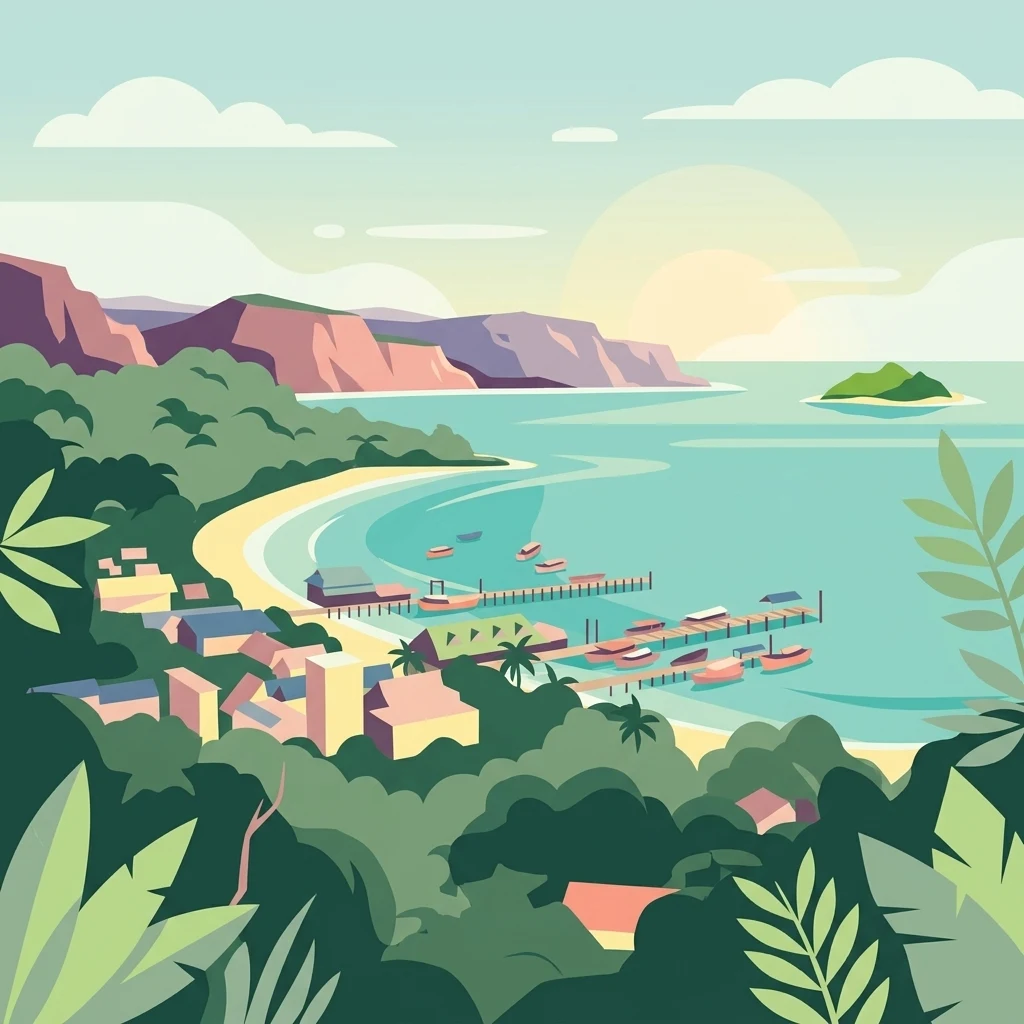
Illustration of tropical coastal scene with beach settlement, pier with boats, cliffs, and island in the distance

Cambodia's first marine national park protecting a tropical island archipelago

Koh Rong Marine National Park

Koh Rong Marine National Park is Cambodia's inaugural marine national park, established in February 2018 in Preah Sihanouk province along the country's southwestern coastline. The park encompasses the seven islands of the Koh Rong Archipelago, covering approximately 524 square kilometers of combined land and marine territory. This protected area represents a significant milestone in Cambodia's environmental stewardship, marking the nation's first dedicated marine protected area designed to conserve coastal and island ecosystems. The archipelago lies in the Gulf of Thailand, featuring a chain of tropical islands characterized by dense vegetation, sandy beaches, and surrounding coral reef systems that support diverse marine life.

Location
Cambodia
Park type
Marine protected area
Established
2018
Area
524 km²
Koh Rong National Park Protected Landscape
Regional park map

See the ranked park cluster in its geographic setting

Nearby parks around Koh Rong Marine National Park

This regional map shows the same 20 nearby parks ranked below around Koh Rong Marine National Park. Select a ranked marker to highlight that park’s boundary where boundary data is available.
Reference park: Koh Rong Marine National ParkRanked nearby park20 nearby parks shown
20 nearby parks

Distance separation and regional environmental comparison signals

Ranked Parks and Protected Areas Geographically Near Koh Rong National Park

Spatial proximity measurements establish a ranked sequence of nearby protected areas surrounding Koh Rong National Park across the region. Geographic separation and recorded environmental metrics provide structured comparison signals for adjacent coastal and marine landscapes.
National parkCambodia
About 20 km away#1 closest

North

Botum Sakor National Park: Cambodia's Largest National Park and Coastal Wilderness

Explore its mapped geography and protected landscape features.

Botum Sakor National Park represents Cambodia's largest national park, offering a unique protected landscape where the Cardamom Mountains meet the Gulf of Thailand. The park's diverse geography includes extensive evergreen forests, grasslands, and significant coastal wetland ecosystems, such as mangrove and freshwater swamp forests. Examining its mapped boundaries reveals a critical area for biodiversity and regional ecological context within Southeast Asia's protected lands.

Area
1,825.85 km²
Established
1993
IUCN
II
Relief
Lowland
National parkSihanoukville Province
About 55 km away#2 closest

Southeast

Ream National Park: Protected Coastal Landscape and Marine Biodiversity in Sihanoukville Province

Explore unique mangrove ecosystems and mapped terrain within Cambodia.

Ream National Park is a significant protected area in Cambodia, celebrated for its intricate coastal and terrestrial ecosystems. This national park offers a detailed view of mangrove wetlands, evergreen forests, rolling hills, and marine habitats like coral reefs and sea grass beds. Situated in Sihanoukville Province, its landscape is characterized by rivers flowing through the terrain into the sea, providing vital habitats for diverse species and contributing to its atlas significance for regional geography and protected-area study.

Area
210 km²
Established
1993
IUCN
II
Relief
Mountain
Watercolor illustration of a sandy beach with calm water and mountainous landscape in the background
National parkKiên Giang Province
About 72 km away#3 closest

Southeast

Phú Quốc National Park: Comprehensive Protected Island Landscape and Geography

Explore the mapped terrain and unique ecosystems of this national park.

Phú Quốc National Park offers a unique exploration of a fully protected tropical island ecosystem, encompassing significant landmass and marine territory within Kiên Giang Province. As Vietnam's largest island national park, it showcases a diverse array of landscapes, from dense forests blanketing rolling hills to vital coastal and marine protected areas essential for regional biodiversity. This park provides a focused lens for understanding island protected area management and geographic context within the Gulf of Thailand.

Area
314.22 km²
Established
2001
IUCN
II
Relief
Mixed relief
National parkKampot Province
About 86 km away#4 closest

East

Preah Monivong Bokor National Park: An ASEAN Heritage Mountain Park in Kampot Province

Explore diverse forests and colonial history within its mapped terrain.

Preah Monivong Bokor National Park is a protected national park in Kampot Province, Cambodia, distinguished by its mountainous geography within the Dâmrei Mountains. Covering over 1,500 square kilometers, it showcases varied forest ecosystems and is recognized as an ASEAN Heritage Park. The park's landscape combines significant natural biodiversity with remnants of French colonial history, offering a rich context for atlas-based geographic exploration and protected-area understanding.

Area
1,544.58 km²
Established
1993
IUCN
II
Relief
Mountain
National parkKoh Kong province
About 92 km away#5 closest

Northeast

Southern Cardamom National Park: A Vital Protected Landscape in Koh Kong Province

Explore its mapped boundaries and conservation significance.

Southern Cardamom National Park is a crucial protected area in southwestern Cambodia, encompassing a significant portion of the Cardamom Mountains. This national park serves as a vital atlas point for understanding the regional geography and conservation efforts in Southeast Asia. Its expansive territory is dedicated to safeguarding critical habitats and supporting ambitious wildlife programs, making it a cornerstone of landscape-level conservation and a key element in mapping the protected areas of the region.

Area
4,103.92 km²
Established
2016
IUCN
II
Relief
Mountain
National parkKampong Speu Province
About 100 km away#6 closest

Northeast

Kirirom National Park: Cambodia's Pioneering Protected Mountain Landscape

Explore its mapped terrain and regional geography in Kampong Speu Province

Kirirom National Park stands as Cambodia's foundational national park, safeguarding a significant portion of the eastern Cardamom Mountains. This protected landscape is defined by its elevated terrain and mountain forest ecosystems, offering a distinct geographic character within Kampong Speu Province. Its atlas-style exploration reveals the mapped boundaries and regional context of this pioneering conservation area, providing insight into Cambodia's commitment to preserving its natural heritage.

Area
283.75 km²
Established
1993
IUCN
II
Relief
Mixed relief
National parkKep Province
About 116 km away#7 closest

East

Kep National Park: Cambodia's Coastal Mountain Protected Landscape

Explore mapped terrain and panoramic viewpoints of this national park.

Kep National Park is a protected national park situated in Kep Province, Cambodia, known for its unique hilly terrain that rises from the coastal lowlands. This protected area offers elevated viewpoints with commanding sights across the Gulf of Thailand, stretching towards Phu Quoc island and the distant Bokor Ranges. Its landscape character is defined by the contrast between its mountainous interior and the surrounding flat coastal regions, making it a significant feature for understanding regional geography and mapped protected areas. The park provides an accessible experience of Cambodia's coastal mountainous ecosystems.

Area
11.52 km²
Established
1993
IUCN
II
Relief
Mountain
National parkCambodia
About 139 km away#8 closest

North

Central Cardamom Mountains National Park: Cambodia's Premier Protected Rainforest Landscape

Explore Extensive Rainforest, Diverse Habitats, and Mountain Terrain

Central Cardamom Mountains National Park is Cambodia's largest protected area, a testament to significant rainforest conservation efforts. This national park spans approximately 4,010 square kilometers, showcasing a dynamic mountainous landscape with diverse ecological zones from coastal areas to peaks over 1,500 meters. Discover the geographic distribution of its protected boundaries and the rich tapestry of habitats that define this vital Southeast Asian natural reserve, offering deep context for atlas-based exploration.

Area
4,010.65 km²
Established
1999
IUCN
II
Relief
Mountain
Watercolor landscape showing rolling hills, mountains, and a body of water with trees and vegetation
National parkThailand
About 172 km away#9 closest

Northwest

Mu Ko Chang National Park: Thailand's National Park Landscape and Protected Area Geography

Mapped boundaries and regional context for this Thai national park.

Delve into the geography of Mu Ko Chang National Park, a vital national park located in Thailand. This page provides an atlas-level view of its protected area status, mapped boundaries, and its significance within the broader landscape of Southeast Asia. Understand the park's unique role as a conserved natural region through structured geographic data and detailed landscape context.

Area
650 km²
Established
1982
IUCN
II
Visitors
249.9K annual
National parkKiên Giang Province
About 229 km away#10 closest

Southeast

U Minh Thượng National Park: Vietnam's Premier Mekong Delta Wetland Protected Area

Mapping the rich biodiversity and peat swamp ecosystems of Kiên Giang Province.

U Minh Thượng National Park is a key protected wetland in Kiên Giang Province, recognized for its exceptional biodiversity and status as a Ramsar site. Covering vast peat swamp forests and freshwater marshes, this national park offers critical insights into the Mekong Delta's unique ecology and hydrological systems. Its extensive mapped boundaries and distinct landscape character make it a vital point of study for understanding regional protected area networks and the natural geography of Southeast Asia.

Area
80.53 km²
Established
2002
IUCN
II
Relief
Lowland
National parkChanthaburi Province
About 234 km away#11 closest

Northwest

Namtok Phlio National Park: A Protected Landscape in Chanthaburi Province

Explore National Park geography and mapped boundaries.

Namtok Phlio National Park, designated as a national park, offers a distinct geographic focus within Chanthaburi Province. This entry supports structured exploration of its protected landscape identity, mapped terrain, and regional context. Understand its place within the broader atlas of Thailand's conservation areas through detailed geographic information designed for discovery.

Area
135 km²
Established
1975
IUCN
II
Visitors
671.4K annual
National parkCà Mau province
About 244 km away#12 closest

Southeast

U Minh Hạ National Park: Vietnam's Protected Wetland Landscape and Geography

Explore peat swamp forest and seasonal flood dynamics.

U Minh Hạ National Park stands as a crucial protected wetland within Cà Mau province, Vietnam, encompassing a significant expanse of freshwater marsh and peat swamp forest. This national park showcases the complex hydrological patterns of the Mekong Delta, including extensive seasonal flooding that shapes its unique landscape and supports specialized flora and fauna. Its protected status highlights the importance of conserving these rare wetland ecosystems and understanding their geographic context for regional ecological balance.

Area
8,286 km²
Established
2006
IUCN
II
Relief
Lowland
National parkĐồng Tháp Province
About 246 km away#13 closest

East

Tràm Chim National Park: Vital Wetland Protected Area in Đồng Tháp Province

Explore the mapped geography and bird habitat of this national park.

Tràm Chim National Park is a crucial protected wetland located in Đồng Tháp Province, Vietnam, celebrated for its role in conserving endangered bird species like the sarus crane. This national park showcases a landscape defined by seasonal flooding, grassland expanses, and Melaleuca woodlands, offering a compelling example of ecological restoration. Understanding its mapped boundaries and wetland terrain provides key insights into regional conservation efforts and the unique geography of the Mekong Delta's Plain of Reeds.

Area
75.88 km²
Established
1998
IUCN
II
Relief
Lowland
National parkThailand
About 266 km away#14 closest

Northwest

Khao Khitchakut National Park: Protected Area Geography and Mapped Boundaries in Thailand

Explore the natural landscape and park map context.

Khao Khitchakut National Park is a protected national park in Thailand, offering specific geographic context for atlas exploration. This entry details the park's mapped boundaries and its role within the regional landscape. Understand the protected area's physical geography and its place within Thailand's mapped conservation network. It's a key point for exploring the natural terrain and protected lands.

Area
59 km²
Established
1977
IUCN
II
Visitors
1.2M annual
National parkCà Mau province
About 280 km away#15 closest

Southeast

Mũi Cà Mau National Park: Vietnam's Southernmost National Park with Extensive Mangrove Wetlands

Explore the mapped geography and protected coastal landscape of Cà Mau province.

Mũi Cà Mau National Park, situated at Vietnam's southernmost tip in Cà Mau province, is a significant protected area dominated by vast mangrove forests and vital coastal wetlands. As a nationally recognized park and an internationally important Ramsar site, it showcases the intricate deltaic geography and the critical ecological functions of mangrove ecosystems. This protected landscape serves as a natural buffer and offers unique opportunities for understanding coastal conservation and the dynamic interplay between land and sea within the Mekong Delta region.

Area
418.62 km²
Established
2003
IUCN
II
Relief
Lowland
Watercolor painting showing green hills, purple mountains, and a calm water body with sparse vegetation
National parkRayong Province
About 291 km away#16 closest

Northwest

Khao Laem Ya, Mu Ko Samet National Park: Marine National Park and Protected Island Geography

Coastal terrain and archipelago mapped within Rayong Province.

Delve into Khao Laem Ya, Mu Ko Samet National Park, a significant marine protected area located in Rayong Province, Thailand. This atlas entry highlights the park's archipelago of islands, including Ko Samet, its mainland coastal features like Khao Laem Ya, and the surrounding Gulf of Thailand waters. Understand the park's role in coastal conservation, its mapped marine environments, and its unique blend of terrestrial and aquatic protected landscapes for geographic discovery.

Area
131 km²
Established
1981
IUCN
II
Visitors
1.6M annual
National parkRayong Province
About 299 km away#17 closest

Northwest

Khao Chamao, Khao Wong National Park: Protected Area Atlas and Mountain Landscape Context

Rayong Province's vital national park with mapped terrain and waterfalls.

Delve into the geography of Khao Chamao, Khao Wong National Park, a designated national park in Thailand's Rayong Province, forming a western extension of the Cardamom Mountains. This page provides detailed mapped context for its protected boundaries, forested hills, and prominent peaks, highlighting its importance as a habitat and an atlas entry for understanding regional landscapes. Explore the park's terrain and its role in conservation.

Area
84 km²
Established
1975
IUCN
II
Visitors
218.4K annual
National parkTây Ninh Province
About 310 km away#18 closest

East

Lò Gò, Xa Mát National Park: Exploring Protected Landscape Boundaries and Regional Geography

Vietnam National Park Mapped Terrain and Atlas Context

Discover Lò Gò, Xa Mát National Park, a vital protected area situated in Tây Ninh Province. This entry focuses on its role as a national park, providing key insights into its mapped boundaries and contribution to the regional geography. Understand its landscape context as part of a broader atlas of protected lands, offering a factual basis for geographic discovery and conservation area research.

Area
300.22 km²
Established
2002
IUCN
II
Relief
Lowland
National parkSiem Reap Province
About 322 km away#19 closest

North

Phnom Kulen National Park: Protected Highland Landscape and Khmer Empire Origins in Siem Reap

Explore ancient Khmer sites and natural terrain within this Cambodian national park.

Phnom Kulen National Park offers a unique glimpse into Cambodia's geographic and historical richness. As a protected national park in Siem Reap Province, it preserves a distinct highland landscape characterized by sandstone formations, evergreen forests, and sacred sites. Discover the mapped boundaries of this important conservation area, trace the historical significance of the Khmer Empire's origins, and explore the natural terrain that defines this culturally significant region.

Area
373.76 km²
Established
1993
IUCN
II
Relief
Mountain
National parkSurat Thani Province
About 365 km away#20 closest

West

Than Sadet, Ko Pha-ngan National Park: A Royal Heritage Protected Landscape in Surat Thani

Island geography, royal rivers, and mountain terrain exploration.

Delve into Than Sadet, Ko Pha-ngan National Park, a protected area in Surat Thani Province renowned for its fusion of natural beauty and historical significance. This park protects diverse ecosystems, including dense forests, the famous Than Sadet waterfall and river system, and mountainous interiors, culminating in views from Khao Ra. As a key protected landscape, its mapped boundaries reveal a vital natural sanctuary with deep royal connections, inviting exploration of its unique geographic context and heritage within the Thai atlas.

Area
43 km²
Established
2018
IUCN
II
Visitors
158.1K annual
Distance methodology

Geographic measurements, not driving distances

How nearby park distances are calculated

Distances use park boundaries whenever the available geometry allows it. When one or both boundaries are missing, the mapped park locations provide a clearly labelled estimate. Every value represents straight-line geographic separation and does not use roads or routing.

Boundary distance

Calculated between the nearest points of both park boundaries.

Location-to-boundary estimate

Estimated from one mapped park location to the nearest boundary of the other park.

Mapped-location estimate

Estimated between the mapped locations of both parks.

MoriAtlas Explorer

Continue Exploring Koh Rong National Park's Marine Geography and Protected Boundaries

Delve deeper into the atlas context of Koh Rong National Park, examining its distinct island archipelago geography and its role as Cambodia's premier marine protected area. Understanding the park's mapped territory and the surrounding Gulf of Thailand landscape provides essential insight into its conservation significance and unique environmental character.